
Route des Grandes Alpes: 7 Passes, Days, Best Time
Plan the Route des Grandes Alpes: 7 key passes, how many days to allow, when roads open, and whether to drive, ride or camp.
On this page
Last updated November 2026: the route des grandes alpes links Thonon-les-Bains on Lake Geneva to Menton on the Mediterranean over high Alpine passes. This guide shows which passes matter, how many days to allow and which vehicle suits you. Read it before you book a one-way trip that depends on snow-free roads.
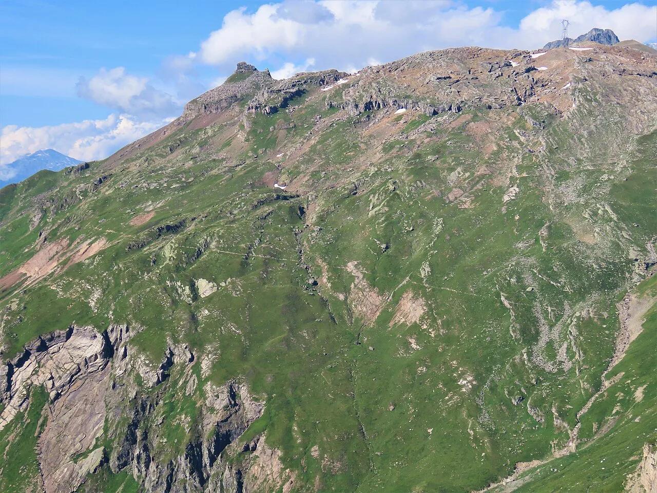
Featured image: Rémih, CC BY-SA 4.0, via Wikimedia Commons.
What the Route des Grandes Alpes Is
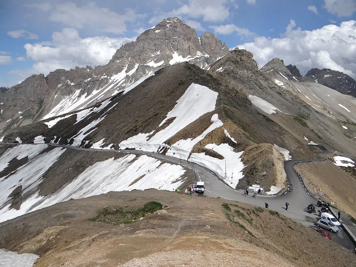
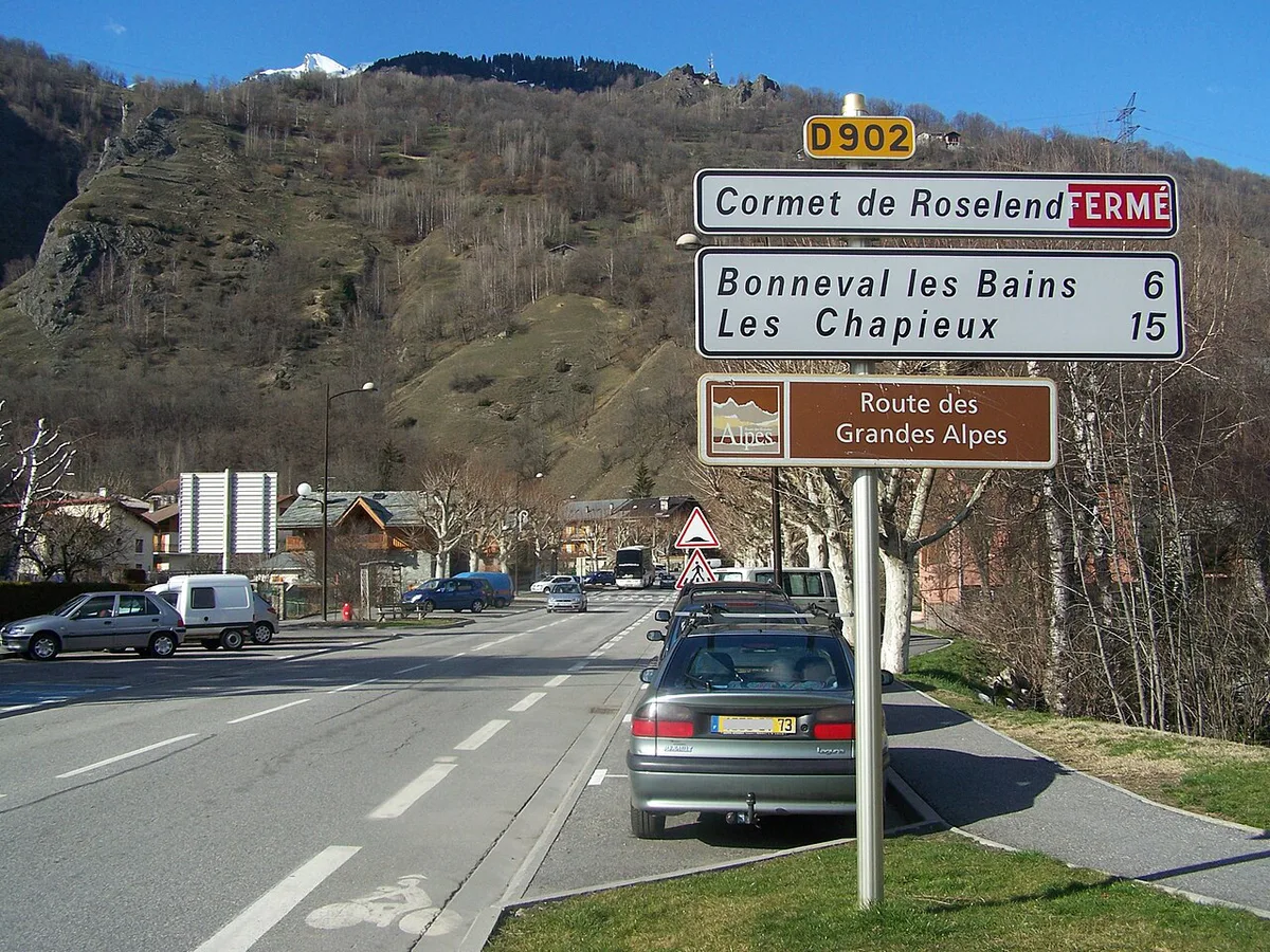
Route des Grandes Alpes runs from Thonon-les-Bains to Menton, about 700 km through six départements. Published counts give 21 mountain passes, though sources differ, so treat that number as approximate. Three national parks lie along the way. Iseran, at 2,764 m, is the high point. You drive it one way, and snow closes the highest sections for part of every year. Read the route description on the official route site.
Route des Grandes Alpes Quick Facts
Figures below are rounded from published route descriptions. One 7-stage cycling collection measures 686 km, a little under the 700 km road figure. Pass counts vary by source, so use 21 as a guide only.
Riders on the 686 km cycling collection face 17,750 m of climbing, so the seven-stage pace suits very fit riders.
| Fact | Detail |
|---|---|
| Start | Thonon-les-Bains, Lake Geneva |
| Finish | Menton, Mediterranean |
| Length | About 700 km (686 km in one cycling collection) |
| Passes | About 21, depending on the source |
| High point | Col de l'Iseran, 2,764 m |
| Départements and parks | 6 départements, 3 national parks |
| Season | Summer only for the highest passes; check live road status |
| Best-fit modes | Car, motorbike, road bike, camper van |
7 Passes on the Route des Grandes Alpes, North to South
Route facts checked November 2026. Iseran, at 2,764 m, is the highest pass here. Madeleine and Croix de Fer sit on Maurienne alternatives rather than the core line, and each item says so. Tourmalet is a separate Pyrenean climb, covered in the detours section below.
1. Col de la Madeleine
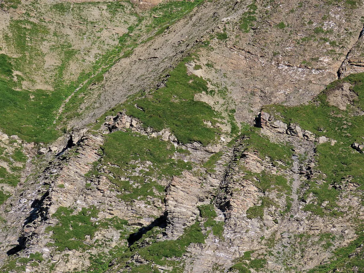
Col de la Madeleine links the Maurienne and Tarentaise valleys. Treat it as a nearby alternative, not a core pass of the route. Our Madeleine climb guide covers the approaches and what to expect on the ascent. It suits cyclists and drivers who want a long mountain day with a clear start and finish.
Expect plenty of road cyclists in summer, so drive with patience on the bends. Skip it if you only have two or three days. It adds time without moving you toward Menton.
2. Col de la Croix de Fer and Col du Glandon
These two crossings sit close together in the Maurienne area. Neither is a core pass of the route, so count them as detours or variants. Our Croix de Fer pass guide describes the main climb. A separate Glandon crossing page covers its neighbour.
Both reward riders and drivers who want quieter, high-mountain scenery away from the main line. Skip them on a fast itinerary or in a large vehicle, because narrow sections make slow progress.
3. Col de l'Iseran
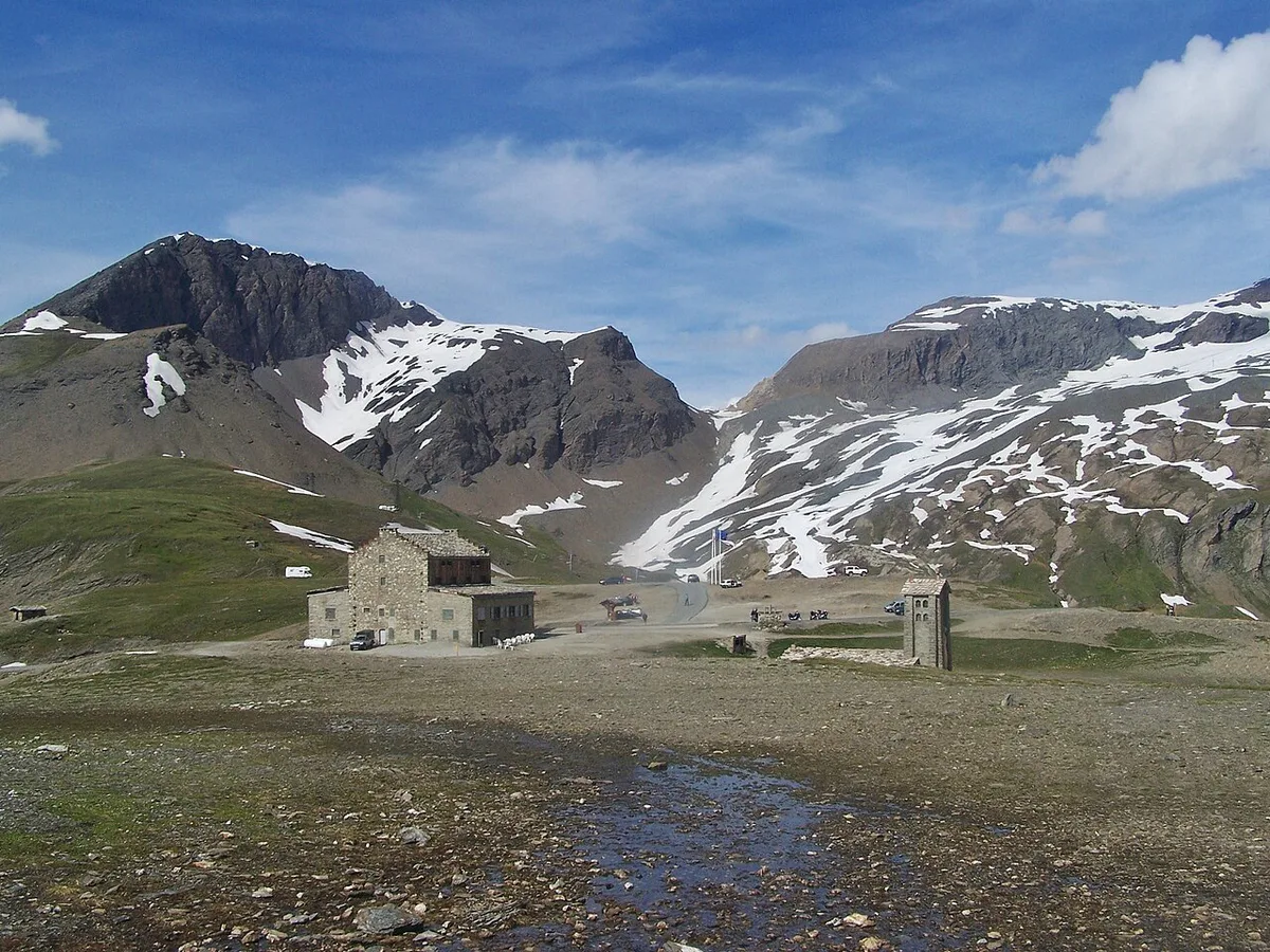
Col de l'Iseran is the high point of the route at 2,764 m. It is the pass most travellers name first. Bonneval-sur-Arc is the village published itineraries mention near this stretch. Read our Iseran pass guide for the climb itself.
Aim to cross in the morning, when weather at altitude is usually calmer. Skip it in early or late season unless live road status shows it open, since snow closes it for part of the year.
4. Col du Galibier
Col du Galibier is one of the great high passes of the French Alps. It carries the route from the Maurienne side toward Briançon. Our Galibier summit guide explains the approach in detail. Summit parking is limited at busy times, so arrive early.
It is a strong choice for the best two-day or three-day stretch, paired with the neighbouring Lautaret. Skip it in poor weather, because cloud and cold arrive quickly at altitude.
5. Col du Lautaret
Col du Lautaret is a lower, easier crossing that leads toward Briançon and Serre Chevalier. Read our Lautaret road guide for the route and access points. It suits drivers and campers who want a gentler mountain day.
It also works as a link between the Galibier and the Briançon area. Skip it only if you are already committed to a different crossing, since it is the practical connector.
6. Col de l'Izoard
Col de l'Izoard runs between the Briançon area and the Queyras. Its rocky Casse Déserte section gives it a distinct, lunar look. Our Izoard pass guide covers the ascent from both sides. The Queyras regional park site is a useful stop for local information.
Motorbikers and cyclists favour its smooth, flowing bends. Skip it in a long motorhome if bends worry you, and take your time on descents to protect your brakes.
7. Col de la Bonette
Col de la Bonette is a high, exposed pass in the southern Alps. It leads toward the Mercantour side of the route. Our Bonette road guide describes the climb and its summit loop. Barcelonnette is the town where one published 7-stage plan ends a day before heading south.
Wind and sudden weather changes are common, so carry warm layers. Skip it if the forecast is poor, because there are few places to shelter along the way.
Nearby Passes and Detours
Some well-known passes are close to the route but not part of its main line. Treat each one below as a side trip, not as a stage.
- Col du Tourmalet
- Tourmalet is in the Pyrenees, not the Alps. Read the Tourmalet climb guide as a separate trip.
- Local details are on the Tourmalet tourism site.
- Little St Bernard Pass
- This crossing lies near the Italian border and is a detour from the main line. See the Little St Bernard guide before adding it.
- Col du Mont Cenis
- Mont Cenis is another border-area crossing, best treated as an add-on. Our Mont Cenis pass guide explains how it fits a wider Alpine trip.
How Many Days to Plan on the Route des Grandes Alpes
One published cycling collection splits the route into 7 stages. Those stages run from about 92 km to 107 km a day. They total 686 km with 17,750 m of climbing, which suits very fit riders. Use that as an example of a 7-day pace, not an official plan. Drivers can go faster or slower. If you only have 2 or 3 days, pick the Galibier, Lautaret and Izoard stretch around Briançon.
| Version | Pace | Best for |
|---|---|---|
| Fast | 2 to 3 days, one or two sections only | Motorbikers and drivers with limited time |
| Standard | About 7 days, similar to the cycling example | Cyclists, and drivers who want time to stop |
| Slow | More than a week, with rest days and detours | Campers, vans and walkers |
Best Time to Go and Seasonal Closures
Snow closes many high passes each winter, and opening dates shift from year to year. Check live status on Bison Futé traffic information and the Hautes-Alpes road pages before you leave.
- Early season
- Expect snow banks, cold summits and possible closures at the highest passes.
- Late season
- Daylight shortens and early snowfall can close roads quickly.
Car, Motorbike, Bike or Van: Which Fits You
Each mode meets the mountains differently. Pick the one that matches your skill, stamina and luggage.
| Mode | Skill and stamina | Road width and tunnels | Summit parking and luggage | Weather exposure |
|---|---|---|---|---|
| Car | Moderate, steady driving | Mostly fine; large cars need care | Easy, plenty of luggage | Low |
| Motorbike | Good bend control | Fine; watch gravel and cattle | Limited luggage | High |
| Road bike | Very high stamina | Fine; watch descents | Needs luggage transfer | Very high |
| Camper van | Confident with size | Check limits on narrow roads | Parking can be tight | Moderate |
Where to Stay and How to Get Back
Options range from hotels and gîtes to campsites and van pitches. Book early for peak summer, because mountain beds are limited. Because the route is one-way, plan your return before you book. Check SNCF and regional bus timetables for Menton to Thonon-les-Bains, or ask a rental firm about one-way fees.
- Villages named on published itineraries
- Le Grand-Bornand, Hauteluce, Bonneval-sur-Arc and Serre Chevalier.
- Overnight stops in one 7-stage cycling plan
- La Clusaz, Landry, Avrieux, Briançon, Barcelonnette and Rimplas.
Costs and What to Budget
Costs depend on your vehicle, season and lodging tier. Check current rates with each operator before you go.
- Fuel and EV charging
- Plan stops before long climbs, since stations thin out at altitude.
- Tolls and parking
- Access roads may carry tolls, and busy summits can limit parking.
- Lodging and hire
- Hotels, gîtes, campsites, bike hire and van hire all price differently.
Mistakes to Avoid
Most problems come from timing and overconfidence.
- Assuming every pass is open
- Check live status each morning.
- Starting a long day late
- Afternoon storms and cold hit high passes quickly.
- Ignoring altitude weather
- Pack warm layers even in summer.
- Underestimating fuel gaps
- Fill up or charge before each big climb.
- Over-planning for large vehicles
- Narrow bends make long vehicles slow, so build extra time in.
Beyond the Road: Hiking and the GR5
GR5 is a 720 km walking route through the same mountain region. It does not follow the road line, so treat it as a comparison, not an alternative. Experienced walkers can pair a few road sections with trail days.
Walking the GR5 covers 720 km, slightly more than the road's about 700 km, though it does not follow the road line.
Explore More Guides
Keep planning your trip with these guides.
Guides
- Col de la Bonette: Season, Climb Stats and Which Side
- Col du Galibier: Opening Dates, Routes & Planning Guide
- Col de l'Iseran
- Col du Tourmalet Guide
- Col de la Croix de Fer: Routes, Season & Driving Guide
- Col de la Madeleine: North vs South Side, Season & Route Guide
- Col du Lautaret: Cycling Sides, Road Conditions & More
- Col du Glandon: Route Guide, Seasons and Tips
- Col de l'Izoard
- Little St Bernard Pass: Driving the Col du Petit-Saint-Bernard
- Col du Mont Cenis: Opening, Route and Planning Guide
Road-rule changes worth knowing
Optional updates to our guides.
You might also like

Continue reading
More guides you'll find useful