
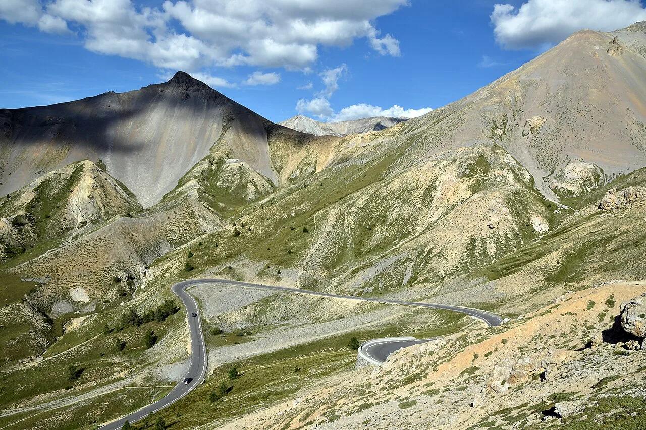
Col de l'Izoard: Which Side to Climb or Drive, and When It Opens
Col de l'Izoard guide: pick the Briançon or Queyras side, plan for the snow-dependent opening season, stop at the Casse Déserte, and pair it with other Alpine passes.
On this page
Last updated November 2026: Col de l'Izoard is a 2,360 m (7,743 ft) pass on the D902 in the Hautes-Alpes, linking Briançon with the Queyras. It is a stage on the Grandes Alpes itinerary, so most visitors fit it into a longer drive, ride or motorbike trip. This guide covers which side to choose, when the road opens and where to stop.
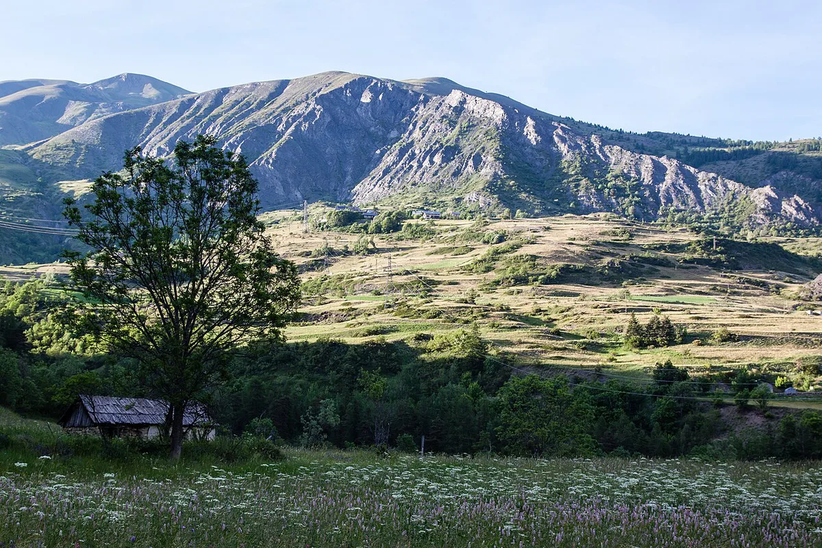
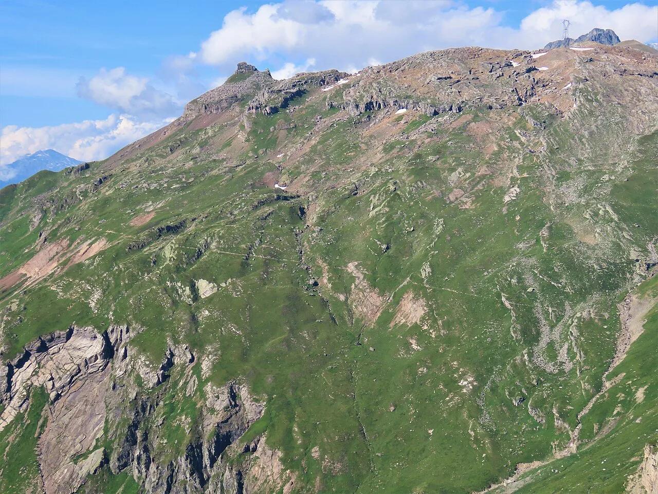
Featured image: Pline, CC BY-SA 4.0, via Wikimedia Commons.
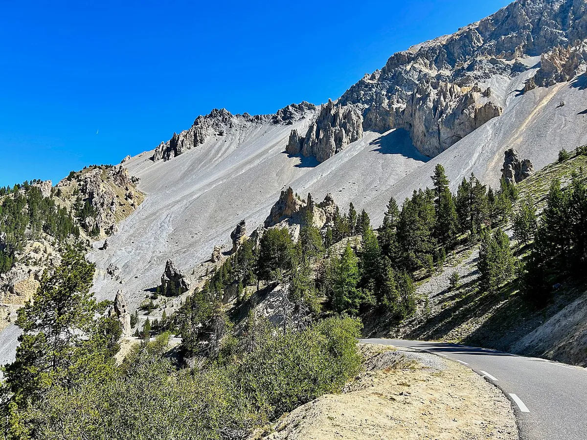
Col de l'Izoard at a glance
Col de l'Izoard tops out at about 2,360 m (7,743 ft) in the Hautes-Alpes department. From Briançon, the D902 runs through Cervières and Le Laus. From the south, the Guil valley road runs down toward Guillestre. One gateway into the Parc naturel régional du Queyras sits here. Snow decides the exact opening dates each year. Once the road is clear, cars, motorcycles, bicycles, coaches and camper vans can all use it.
- Altitude: about 2,360 m (7,743 ft).
- Road: D902, between Briançon and the Guil valley.
- Typical season: late May to late October, depending on snow.
- Drive time from Briançon: about 50 minutes without stops.
- Verdict: worth a full half-day for drivers, riders and cyclists, with the strongest scenery around the Casse Déserte.
Which side to take: Briançon or the Queyras
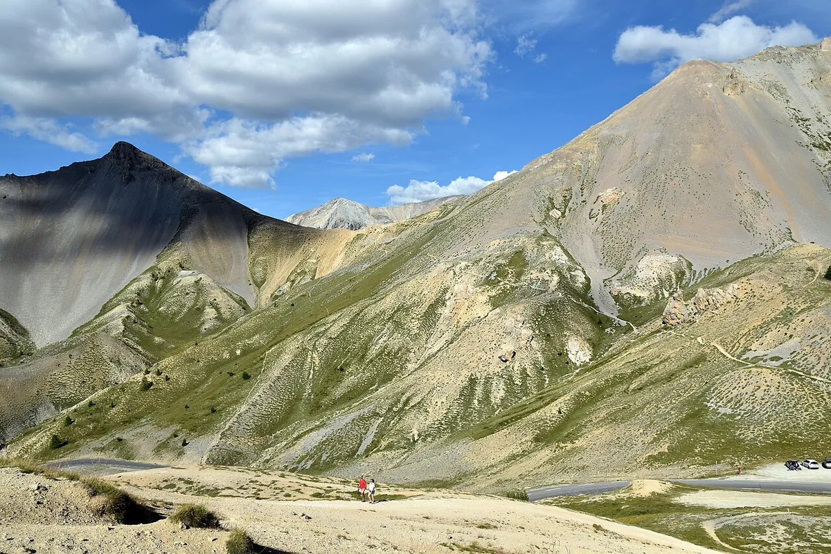
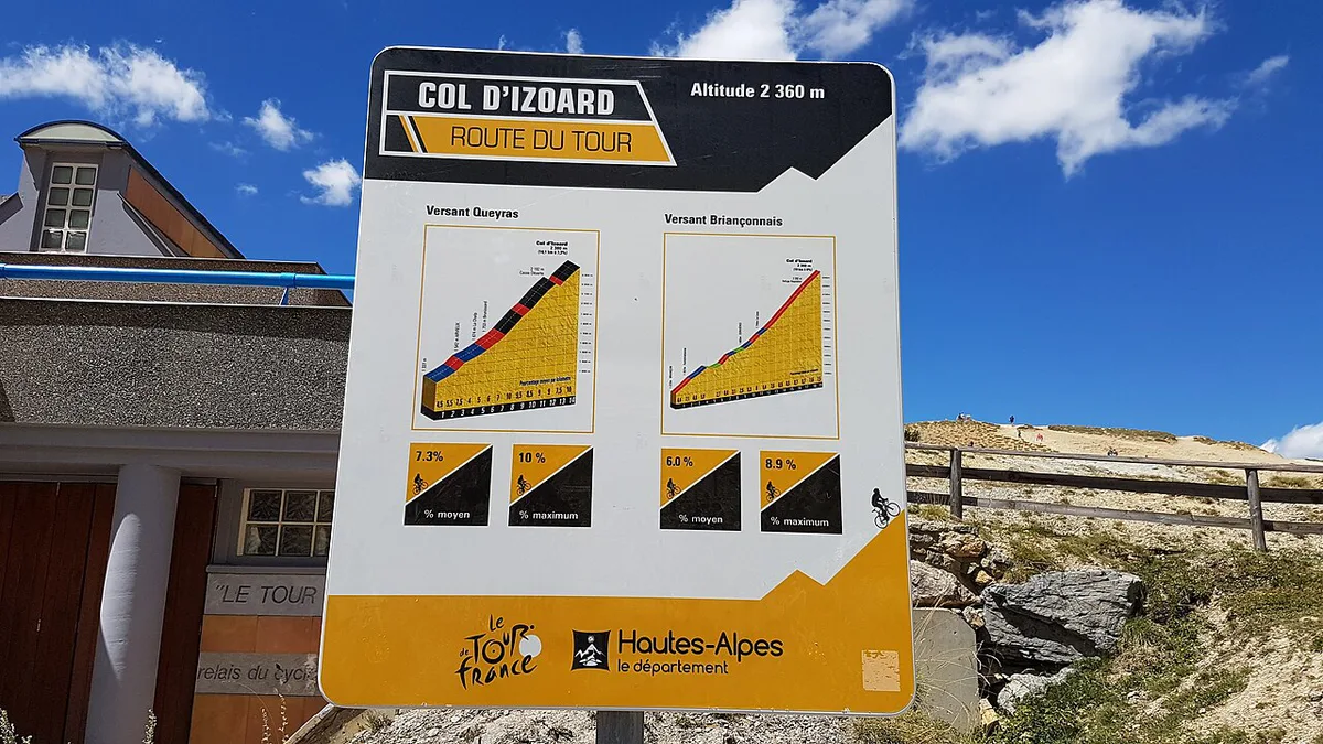
Choose Briançon for a shorter, steadier climb of about 19 km. Choose Guillestre or Château-Queyras for a longer approach through the Guil valley. Climbing from the south puts the Casse Déserte in the final 2 km before the summit. Coming from Briançon, you reach it only after the top. Published figures differ by a few percent because sources start counting at different points. Compare like with like, and name your start point before you trust any gradient.
| Approach | Length | Ascent | Average gradient | Maximum gradient | Best for |
|---|---|---|---|---|---|
| Briançon via Cervières | about 19 km | 1,105 to 1,185 m | 5.8% to 6% | 9% to 9.4% | Drivers, motorcyclists, cyclists wanting the gentler climb |
| Guillestre (south) | 31 km or more | 1,350 to 1,440 m | 4.4% to 4.8% | 11% to 12% | Strong cyclists, riders building toward the Casse Déserte |
| Château-Queyras (D947 junction) | 15.9 km | 1,095 m | 6.9% | 12% | Cyclists wanting the climb proper, without the long approach |
Climbing Col de l'Izoard by bike
From Briançon via Cervières, the climb is about 19 km at an average near 6%, peaking around 9%. That makes it the easier of the two main options. From Guillestre, the first 16 km are gradual through the Guil valley. The real work starts with roughly 14 km to go. Col Collective lists a maximum of 12% at 23 km and suggests 34x25 as the minimum gearing. The Château-Queyras start adds 15.9 km at 6.9% on its own. Wind is the other factor, because the bare Casse Déserte offers riders no shelter. Provence-Alpes-Côte d'Azur tourism notes this exposure. One rider who started from Guillestre by the Route de la Viste in 2026 judged it unsuitable for road bikes, so check your exact route first. Pack a windproof layer for a summit above 2,300 m, even on a warm valley morning.
- Assuming the pass is open in early June.
- Comparing climb stats from different start points.
- Skipping layers for a summit above 2,300 m.
- Leaving Briançon or Guillestre without food, water or fuel.
- Trusting a single source's gradient figure.
Driving or riding the D902
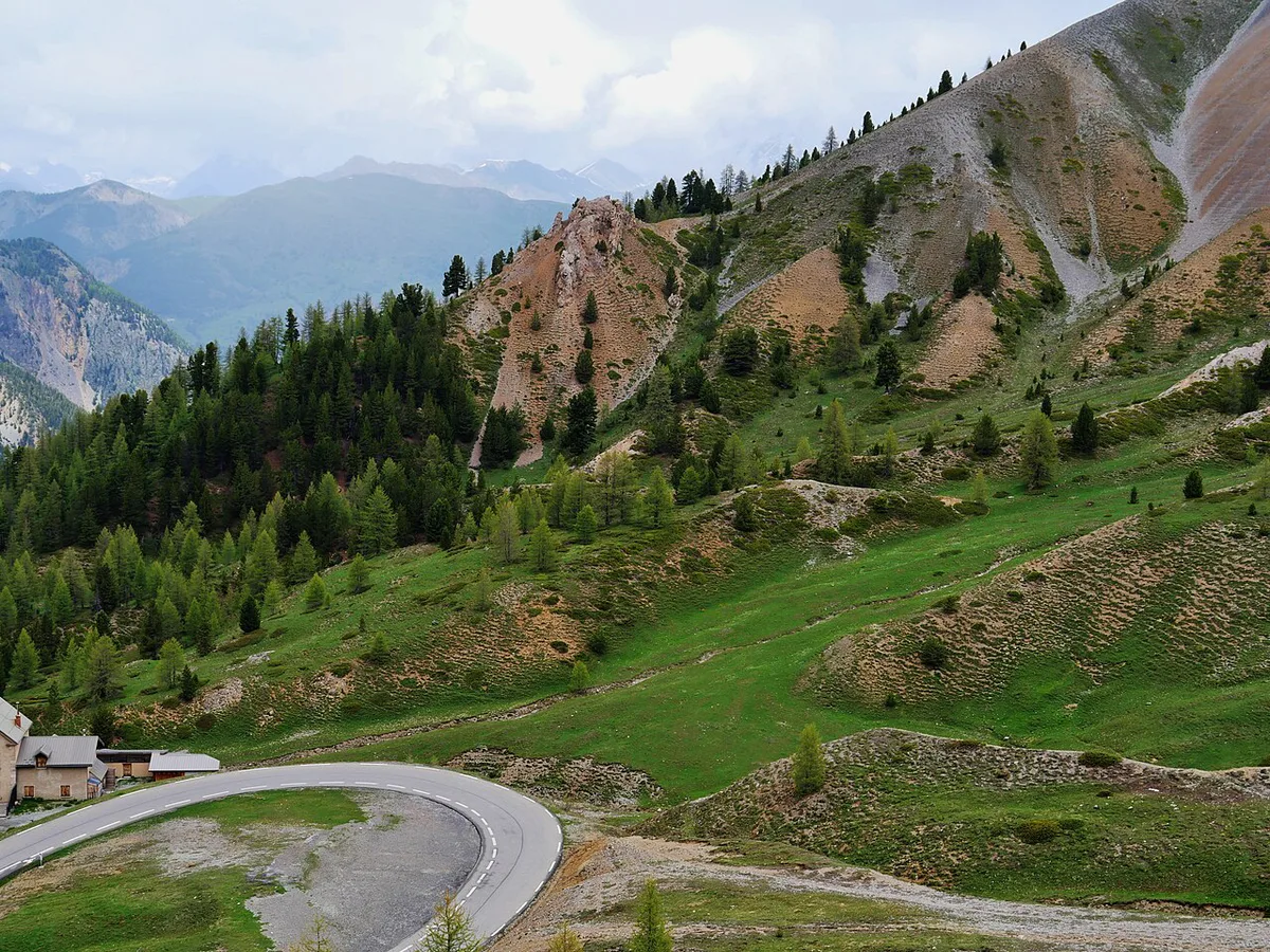
From Briançon, take the D902 toward Cervières and Col de l'Izoard. In Cervières, turn right toward Le Laus to continue the climb. Allow about 50 minutes to reach the pass, before stops. Fill the tank and carry water before you leave Briançon or Guillestre, since the climb itself has few services. Hairpins and exposed sections reward a steady pace, and camper vans are permitted in summer. Park in the Casse Déserte lot to walk among the pinnacles. Motorcyclists and motorhome drivers are a familiar sight here, according to regional tourism listings. Weather at 2,360 m can change fast, so carry a warm layer even in July.
When Col de l'Izoard opens, and when to go
Hautes Vallées tourism says the road opens from late May to late October, depending on snow. Other sources describe it as closed from October to early June. Treat early June and late October as edge dates. Between Brunissard, in Arvieux, and Le Laus, in Cervières, cars cannot pass from November to May or June. Before committing a day, check the Hautes-Alpes road information. Bison Futé adds national traffic updates. On cols réservés mornings, the road closes to traffic in both directions from 9:00 to 12:00. Cyclists get it to themselves, with no registration or ranking. Dates change each year, so look up the current schedule before planning a drive. In winter the pass becomes a route for snowshoeing, cross-country skiing and ski touring. During the Intégrale Izoard, the road is groomed from Arvieux or Cervières. Some visitors even descend by toboggan.
The Casse Déserte and the summit
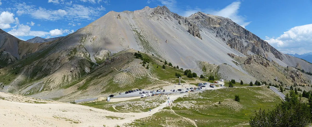
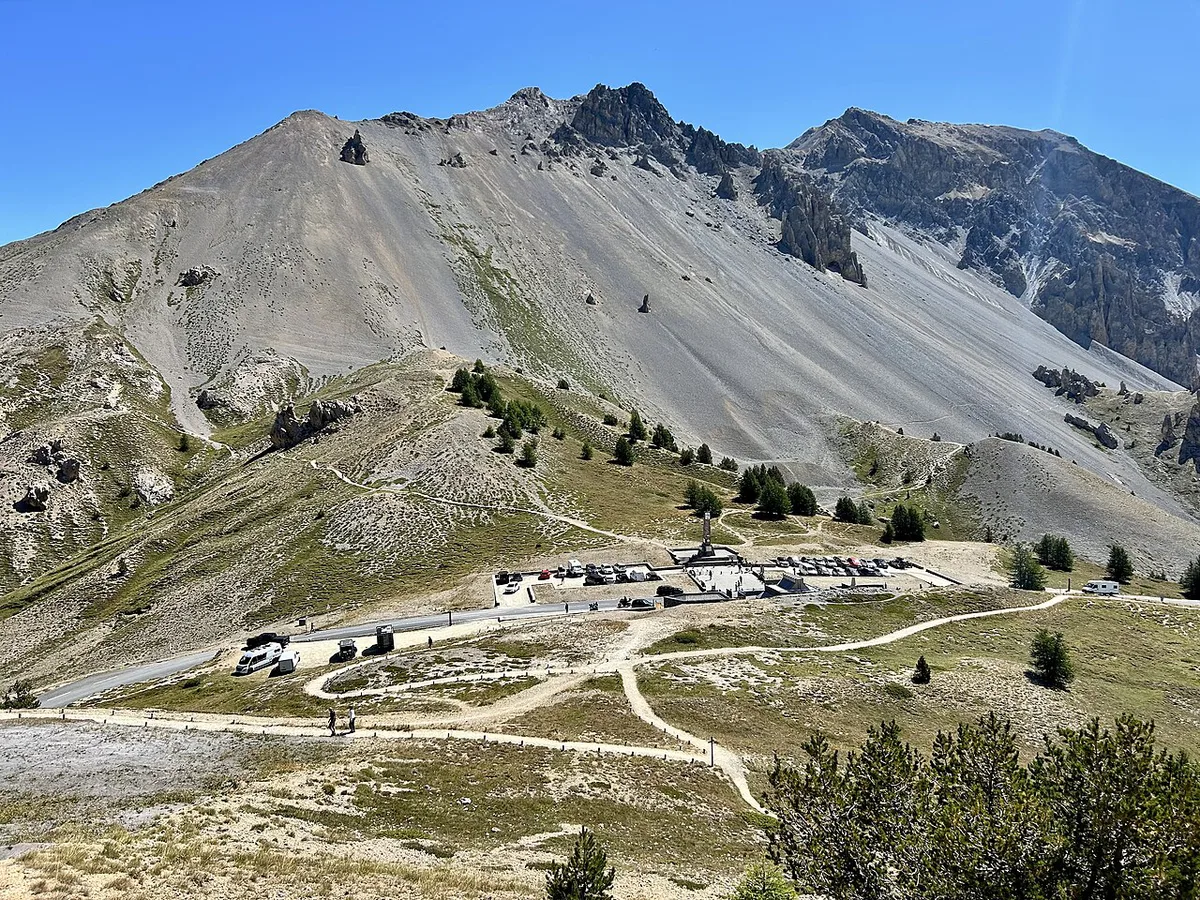
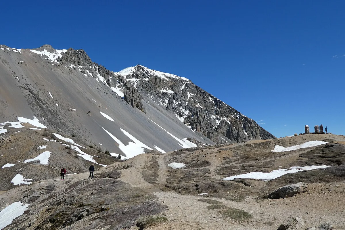
Casse Déserte sits at the exit of the forest, about 2 km from the summit on the south side. Scree slopes and yellowish cargneules, a carbonated sedimentary rock, give it a lunar look. Weathered pinnacles stand against the pale ground. Near the summit, a stele honors Fausto Coppi and Louison Bobet. A separate stele, inaugurated in 1934, pays tribute to General Baron Berge and the troops who built the road. Views from the top reach the Écrins massif, the Pelvoux, the Queyras and the Ubaye. On clear days Mont Viso and Mont Blanc can be visible. Stop here for photos, because the road on this side is narrow and busy in July and August.
Refuge Napoléon: where to eat and sleep
Refuge Napoléon stands at about 2,290 m, near the top of the pass. It was built in 1858 under Napoleon III, funded by a bequest from Napoleon I. Guards once helped travelers caught by bad weather. Today it serves lunch, a drink on the way down, and meals with local produce, including lamb from Cervières, tourtons from Champsaur and Queyras cheeses. Six rooms are available for overnight stays. Contact the refuge directly for current opening and booking, since the road closes for months each year.
Refuge Napoléon stands at about 2,290 m, near the top of the pass, but a windproof layer still matters above 2,300 m.
Tour de France and Giro history
Tour de France riders first crossed Col de l'Izoard in 1922. Philippe Thys led over the top that year. Warren Barguil won stage 18 of the 2017 Tour at the summit, the first stage finish there. Coppi, Bobet, Gino Bartali and Bernard Thévenet all made history on these slopes. The Giro d'Italia has crossed the pass seven times. Its most famous passage came in 1949, when Coppi beat Bartali on the stage from Cuneo to Pinerolo. Tour crossing counts vary between sources, so no exact total is given here.
Pairing Izoard with other Alpine passes
Izoard works as one stage of the Route des Grandes Alpes: 7 Passes, Days, Best Time from Lake Geneva to the Mediterranean. Hautes Vallées names the Galibier and Lautaret as cycling peers. Pair it with the Col du Galibier: Opening Dates, Routes & Planning Guide. Add the Col du Lautaret: Cycling Sides, Road Conditions & More as a gentler link on the same side of the Hautes-Alpes. For a higher road, the Col de la Bonette: Season, Climb Stats and Which Side reaches 2,715 m. The Col de l'Iseran sits higher still. Cyclists heading north can try the Col de la Croix de Fer: Routes, Season & Driving Guide. They can also tackle the Col du Glandon: Route Guide, Seasons and Tips or the Col de la Madeleine: North vs South Side, Season & Route Guide. For a Pyrenean comparison, see the Col du Tourmalet Guide: Riding, Driving & Seasonal Access.
Izoard tops out at about 2,360 m, so the Col de la Bonette's 2,715 m is a clear step up for riders chasing altitude.
Frequently Asked Questions
What is the hardest bike climb in France?
No single ranking settles it, because difficulty depends on the rider and the start point. Col de l'Izoard from Château-Queyras is 15.9 km at 6.9%, with a 12% maximum. For a higher alternative, try the Col de la Bonette: Season, Climb Stats and Which Side.
What are some popular cols in France?
Izoard, Galibier and Lautaret form a well-known cluster in the Hautes-Alpes. Iseran and Bonette draw riders who want altitude. Croix de Fer, Glandon and Madeleine are popular with cyclists in Savoie and Isère.
Road-rule changes worth knowing
Optional updates to our guides.
You might also like

Continue reading
More guides you'll find useful