
Col du Lautaret: Cycling Sides, Road Conditions & More
Plan the Col du Lautaret: east vs west climb, tunnels and winter access, the alpine garden, hikes and nearby passes on the Route des Grandes Alpes.
On this page
Last updated November 2026: the Col du Lautaret is a high pass in the Hautes-Alpes, France, at 2,058 m (6,752 ft), linking the Romanche valley with the Guisane valley on the D1091. It suits easy-gradient cyclists, drivers on the Grandes Alpes road trip, and garden and hiking visitors. Our verdict: gentle gradients make the climb friendly, while west-side tunnels, traffic and winter snow are the real trade-offs.
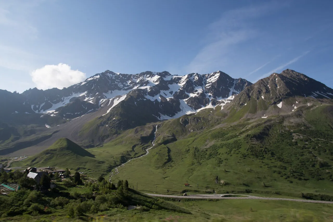
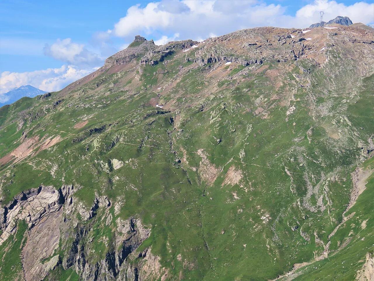
Featured image: Ragnhild&Neil Crawford from Sweden, CC BY-SA 2.0, via Wikimedia Commons.
Col du Lautaret at a Glance
Our pick for most visitors is the east approach from Briançon, because its profile is simpler. Sources differ on height by 1 m. Regional tourism material gives 2,058 m, while the Route des Grandes Alpes site gives 2,057 m. We use 2,058 m throughout. The col sits on the boundary between the communes of Villar-d'Arêne and Monêtier-les-Bains. It is one of the lowest points on the ridge that separates the northern and southern French Alps.
- Road: D1091, formerly national route 91, running Grenoble – Le Bourg-d'Oisans – Briançon
- Valleys: Romanche to the west, Guisane to the east
- Neighbour: Col du Galibier, about 3 km away by the CyclingCols measurement
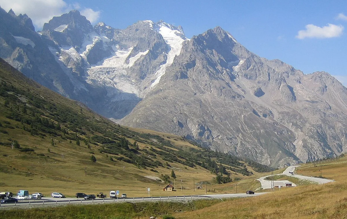
- Views: La Meije to the south-west and the Grand Galibier to the north
- Winter: the highest French pass open to car traffic, with temporary snow closures
Where the Col du Lautaret Is and How to Get There
Grenoble sits roughly an hour and a half from the col by road. For the west approach, drive the D1091 through Le Bourg-d'Oisans, La Grave and Villar-d'Arêne. Coming from Briançon, you follow the Guisane valley uphill. At the top you find a hotel, restaurants, a souvenir shop and a car park. Public transport is the weak point. One hiker reported that the Grenoble bus does not run often enough for a day trip and used a ridesharing app instead. We found no confirmed regular bus link, so look up current timetables before you plan around one. Note also that "Lautaret" names both the highest point and the road corridor, so a rider who says "I did the Lautaret" may mean either.
Cycling the Col du Lautaret: West vs East
Both sides are long rather than steep, and the start point changes every number. Here is how the published figures line up.
| Start point | Distance | Gain | Average | Steepest | Exposure | Best fit |
|---|---|---|---|---|---|---|
| West, Le Clapier (Wikipedia) | 34.1 km | +1,312 m | 3.8% | 8.1% in the first km | Tunnels, traffic | Strong riders, e-bikes with lights |
| West, Bourg d'Oisans (Climbfinder) | 20.9 mi (about 33.6 km) | 4,652 ft | 4.2% | 10.5% | Tunnels, traffic | Riders starting in town |
| East, Briançon (Wikipedia, CyclingCols) | 27.7 km | +853 m or +876 m | 3.1% | 7.1–7.5% | Valley wind | Beginners |
Is the Col du Lautaret Hard?
Regional tourism material counts it among the easiest passes above 2,000 m. The Route des Grandes Alpes topo backs that up. From Briançon, the first 16.5 km stay at or under 3%, and the last 9.5 km hold a steady 5% or so. From the west, the road runs 3.5% to 5% after La Grave, then 6–7% for 6.5 km. A final 2 km eases back to 3.5–5%. No special gearing is needed. Climbfinder suggests a compact setup, with a 34-tooth chainring and a 28 or 30 rear sprocket, to keep cadence smooth. Rider reviews are mixed. Several praise the scenery, while others complain about heavy traffic. Treat that as anecdote. Our read: the climb is long, not brutal, and the real effort starts beyond it on the Col du Galibier climb.
Starting in Briançon, the east approach keeps its first 16.5 km at or under 3%, while the west side climbs harder.
Road Conditions, Tunnels and Winter Closures
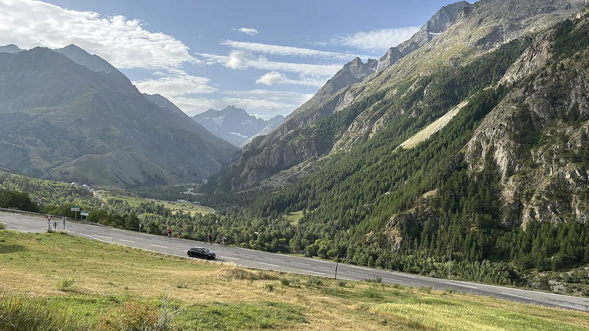
West-side tunnels are the main hazard. The Route des Grandes Alpes site names the Grand Tunnel du Chambon (966 m), a narrow tunnel of about 350 m after La Grave, and the 600 m Ardoisières tunnel. It calls the last two moderately lit. Riders report five tunnels in total, two of them over 600 m, so carry front and rear lights. Between Le Bourg-d'Oisans and Lac du Chambon, the official site calls the road dangerous for cyclists. It offers a 74 km alternative via Alpe d'Huez and the Col de Sarenne (1,999 m), rated very difficult at 5 h 03 min.
- Mistake: riding the west-side tunnels without lights
- Mistake: leaving late into heavy traffic, since one rider who left at 7 a.m. still reported busy roads
- Mistake: assuming the pass is always open
- Mistake: confusing the Lautaret summit with the Galibier summit, about 3 km apart
What to Do at the Top
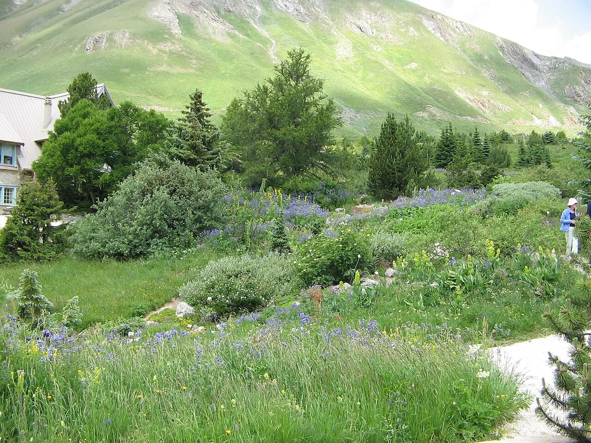
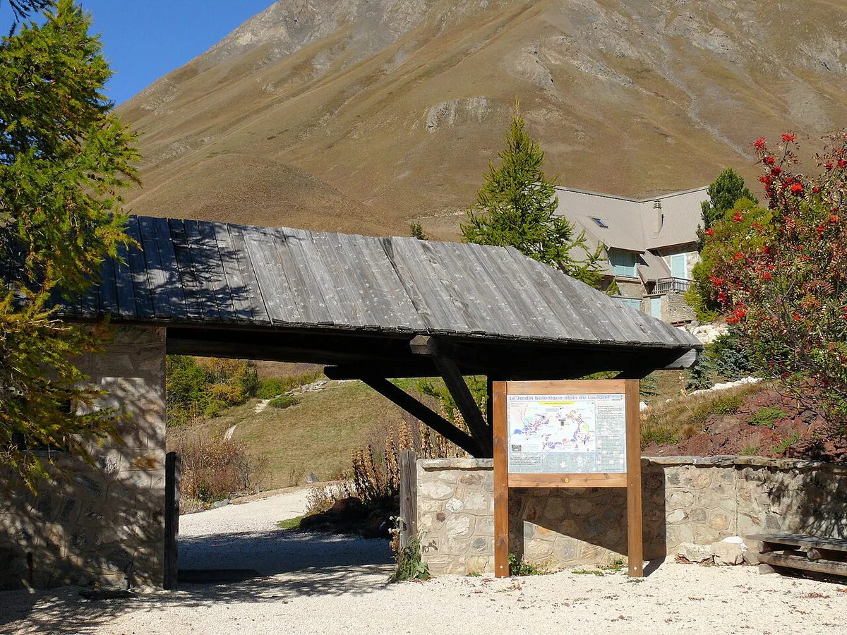
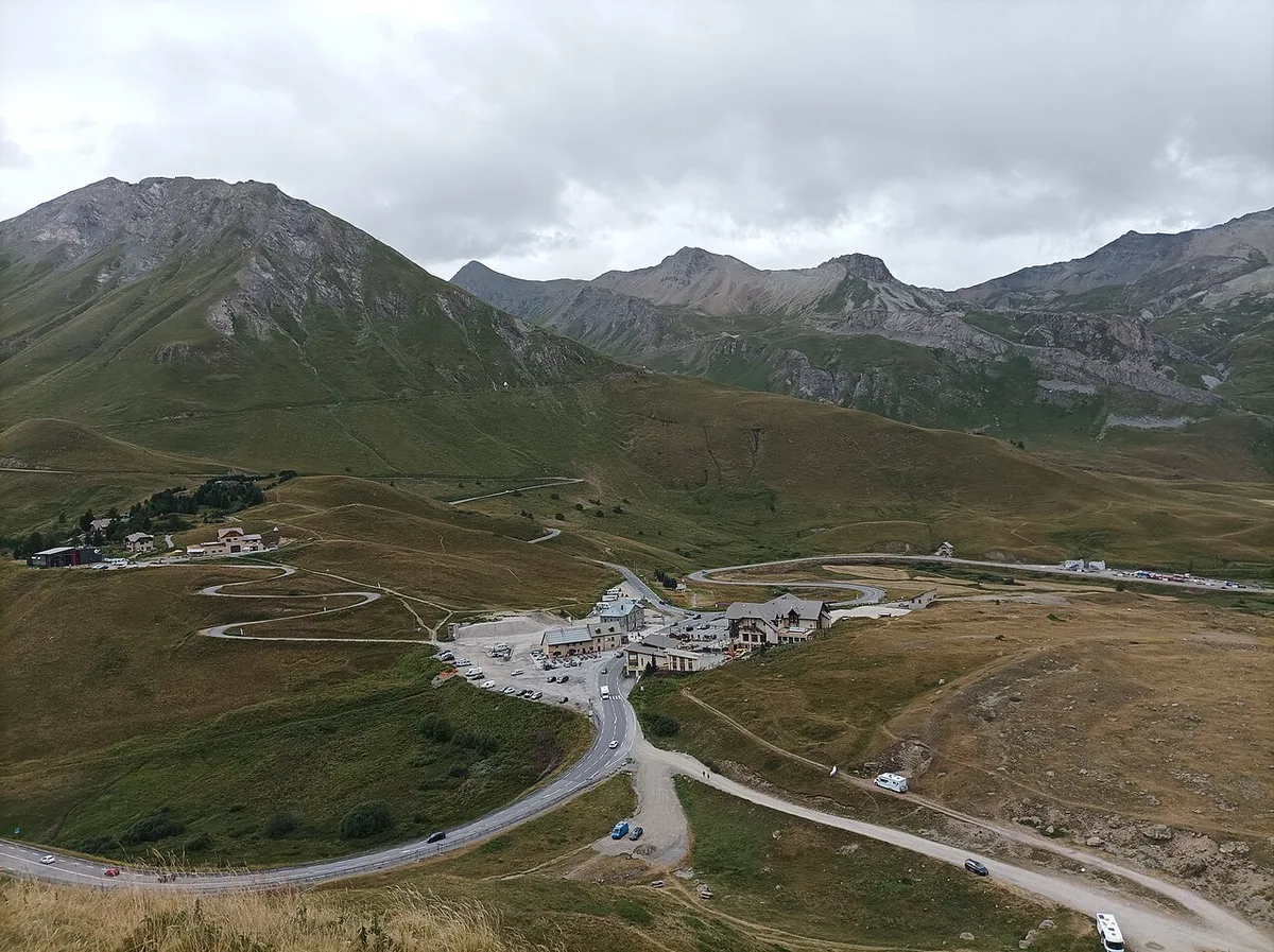
Everything at the summit is within a short walk. The alpine garden lies a few minutes upslope from the car park. It holds more than 2,000 plants and is managed by Université Grenoble Alpes. Across the road, a trailhead leads into Écrins National Park. That trail, the Sentier des Crevasses, heads toward the Refuge de l'Alpe de Villar-d'Arène, a mountain hut that sells drinks and meals. Parts of the path cross eroding slate slopes that were rebuilt within the last decade, so check trail condition first. Walkers with more time can push on toward the Arsine glacier lake. Views take in La Meije (3,983 m) and the Grand Galibier. Marmots are often reported along the path. Heritage stops include the Hospice Sainte-Madeleine, the "refuge Napoléon" and the snow-protection tunnel. The Alpe Gallery has hosted exhibitions and conferences since 2016.
- Cyclist: a short stop at the summit sign, a drink at the cafés, and the garden if time allows
- Driver: park, walk up to the garden, then add a short stretch of the trail across the road
- Hiker: allow a half-day for the out-and-back walk to the Refuge de l'Alpe de Villar-d'Arène
Costs, Opening Times and Seasons
Garden tickets, hours and season dates are set by the operator, Université Grenoble Alpes, so read its site for current figures. Summit restaurants and the hotel also work to a seasonal calendar.
| Season | Cycling | Garden and hiking | Road |
|---|---|---|---|
| Summer | Best window for the climb | Garden in flower; trails open | Open; heavier traffic |
| Shoulder season | Variable weather | Garden and trail status varies | Check before departure |
| Winter | Not a cycling objective | Garden under snow; ski touring, snowkiting and dog sledding reported | Open to cars in principle; snow closures possible |
Where to Stay and Eat Nearby
Services thin out between towns, and riders note few villages along the way. Summit services are seasonal. Choose your base by direction of travel.
- Le Bourg-d'Oisans: start of the west approach
- La Grave (1,483 m): view of La Meije and a lunch stop riders mention
- Villar-d'Arêne (1,665 m): last village before the col
- Monêtier-les-Bains: Guisane valley, on the other side of the col
- Briançon (1,262 m): start of the east approach
Col du Lautaret in the Tour de France and Vuelta
Tour de France riders first crossed the col in 1911, with Émile Georget leading over the top, according to Wikipedia. Regional tourism material counts 12 stage passages since 1950. Counts differ by source, so we quote only the 12. First over the summit were Apo Lazaridès in 1950, Francisco Gabica in 1965, Danilo Di Luca in 2003 and Joaquim Rodríguez in 2014. In 2025, Vuelta a España stage 4 from Susa to Voiron also crossed it, with Sean Quinn first over the top.
How to Combine It with Other Passes
Col du Galibier is the obvious add-on. Its south ascent starts at the Lautaret. Riders who want to go further can read our south-side Galibier ascent guide. For a Briançon-side loop, see the Col de l'Izoard guide. Other big Alpine climbs worth planning are the Croix de Fer and the Col du Glandon: Route Guide, Seasons and Tips. For more high passes, try the Col de l'Iseran, the Col de la Bonette: Season, Climb Stats and Which Side and the Col de la Madeleine: North vs South Side, Season & Route Guide. The Lautaret is also part of the full Grandes Alpes route.
Galibier's summit sits about 3 km apart from the Lautaret, so an add-on ride needs its own plan.
How Long Does the Col du Lautaret Take by Bike?
For the west approach from Bourg-d'Oisans, Climbfinder’s pace estimates give a useful planning range. Its 33.6 km measurement takes about 4 hours 12 minutes at 5 mph. At 7 mph, the estimate falls to about 2 hours 59 minutes. Riders averaging 9 mph are estimated at roughly 2 hours 19 minutes.
These are moving-time benchmarks, not a timetable for every rider. Tunnel stops, traffic, photographs in La Grave, wind, and café breaks all add time. The 1 hour 45 minute fastest estimate is not a sensible target for most visitors. The Briançon side has a gentler published average of about 3.1%, but it is still 27.7 km long. Allow extra margin if you plan to continue straight onto the Galibier climb.
Frequently Asked Questions
What is the Col du Lautaret?
It is a mountain pass at 2,058 m in the Hautes-Alpes. It joins the Romanche and Guisane valleys on the D1091 between Le Bourg-d'Oisans and Briançon. Cyclists, drivers and garden visitors all use it.
Is the Col du Galibier open?
Galibier is a separate summit about 3 km from the Lautaret, and its status is posted separately. Check Hautes-Alpes road information before you set out.
Road-rule changes worth knowing
Optional updates to our guides.
You might also like

Continue reading
More guides you'll find useful