
Col de la Madeleine: North vs South Side, Season & Route Guide
Climbing or driving the Col de la Madeleine in Savoie? Compare the north and south sides, check the season and plan your day.
On this page
Last updated November 2026: the Col de la Madeleine is a pass of about 1,993 m in Savoie, linking the Maurienne valley with the Tarentaise. Cyclists get two main climbs, one from La Chambre in the south and one near La Léchère in the north. Choose the south for a steady 7.7% average, or the north for a longer, more irregular ride.
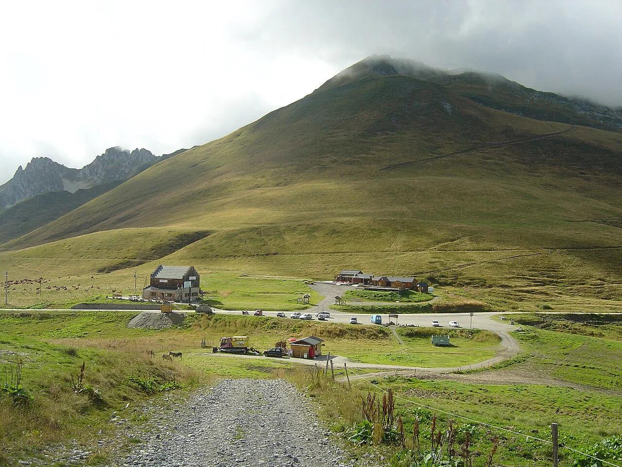
Featured image: Anthospace, CC BY-SA 3.0, via Wikimedia Commons.
Col de la Madeleine at a Glance
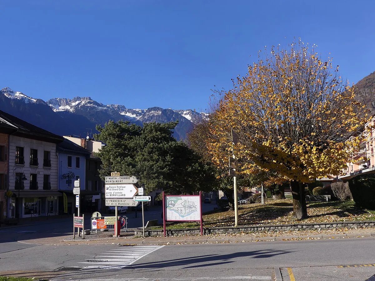
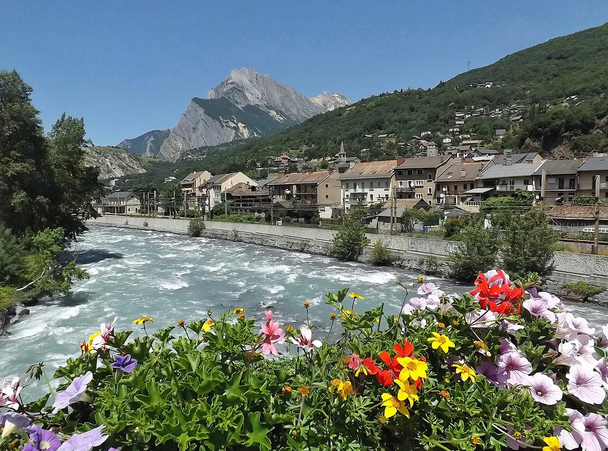
Col de la Madeleine sits in Savoie, between La Chambre in the Maurienne and Aigueblanche in the Tarentaise. Most people who search for it are road cyclists. Drivers and motorcyclists also cross it, often as one leg of a longer Route des Grandes Alpes itinerary. Do not confuse it with the Col de la Madeleine in Vaucluse, a minor 451 m climb near Mont Ventoux, reached from Bédoin and Malaucène.
| Detail | Col de la Madeleine (Savoie) |
|---|---|
| Location | Savoie, France |
| Valleys linked | Maurienne and Tarentaise |
| Summit | About 1,993 m |
| Main climbs | South from La Chambre; north from near La Léchère on the D213 |
| Tour de France rating | Hors catégorie since 1995 |
| At the top | A restaurant or bar with a terrace |
North vs South: Which Side to Climb
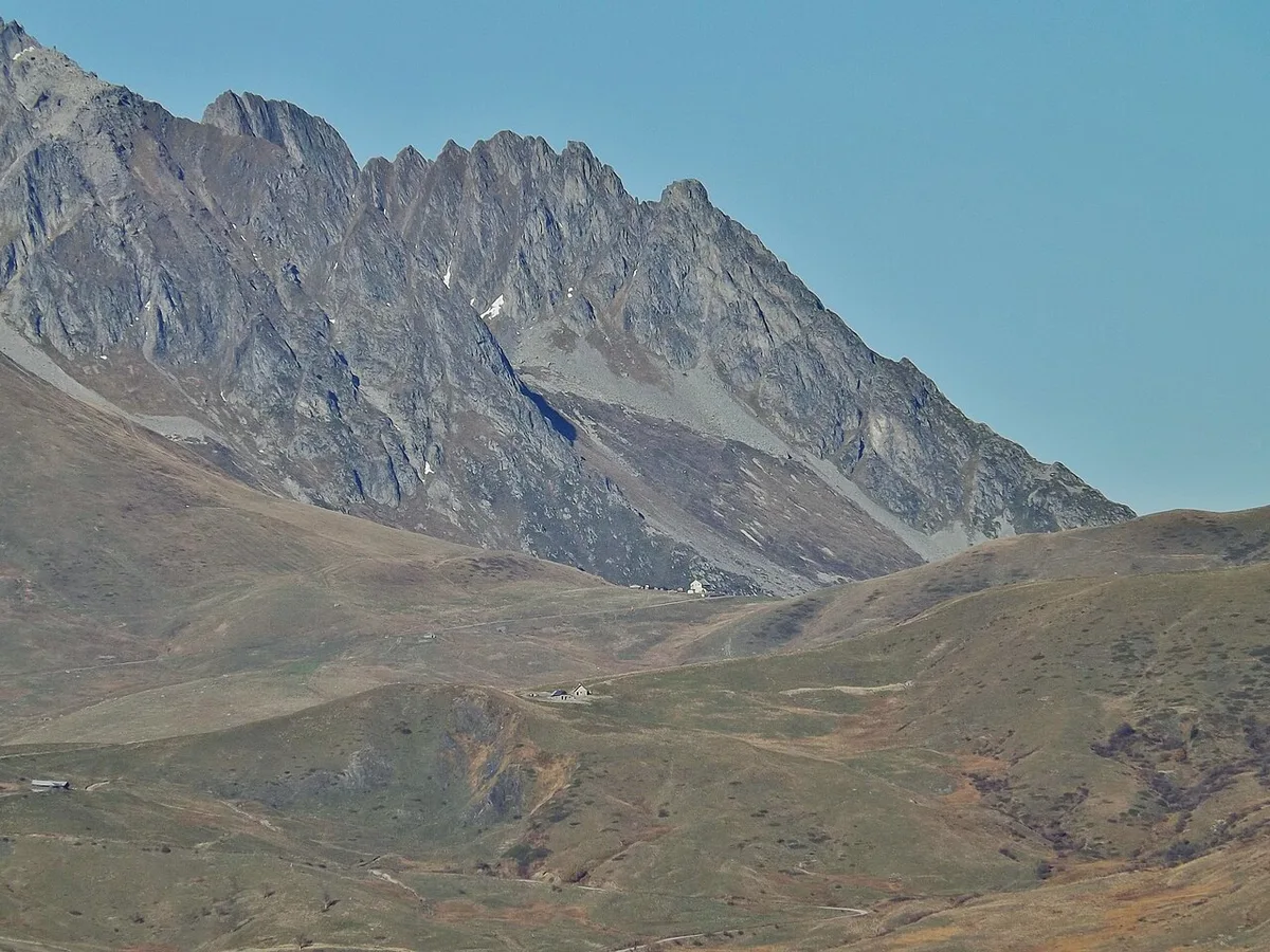
Both sides gain almost the same height, about 1,540 m, but they spread it differently. The south side from La Chambre runs 19.9 km at a mean 7.7%. After a 1.5 km approach, most 500 m intervals sit at 7–9%, with no real recovery stretch. The north side from near La Léchère is about 24.5 km, which is 4.6 km longer, at roughly 6.2% on average. It is more irregular, so easier patches alternate with harder ones.
| South (La Chambre) | North (La Léchère, D213) | |
|---|---|---|
| Distance | 19.9 km | About 24.5 km |
| Elevation gain | 1,543 m | 1,544 m |
| Average gradient | 7.7% | About 6.2% |
| Steepest section | 9.8% for the steepest km; 12% over the steepest 250 m | Irregular profile |
| Base altitude | About 450 m | About 468 m |
| Recovery | Almost none after the first 1.5 km | Easier patches between steeper ramps |
| Best for | A steady, sustained effort | A longer ride that passes Celliers |
- First hors catégorie climb: start from the north, where the lower average gradient is easier to pace.
- Short on time: take the south side, which is 4.6 km shorter.
- Scenery first: expect no knockout views on either side. One cyclist who rode the south side found the surroundings plain, with a ski resort beside the road.
- Linking passes: finish on whichever side leads to your next valley.
Col de la Madeleine Difficulty and Pacing
Difficulty depends on fitness, so no single time applies. On the south side, the 7–9% gradients arrive early and hold. Start in a gear you can sustain, because the road gives you no flat stretch to recover. The final 5 km felt very hard to one rider on a 2011 loop. Compact gearing helps on the 12% ramp. Carry enough water for the whole climb. Longchamp, a ski resort at about 1,650 m, lies roughly 5 km below the summit on the south approach. Pack a windproof layer for the top, because the descent is long and cold.
Season, Road Status and Access
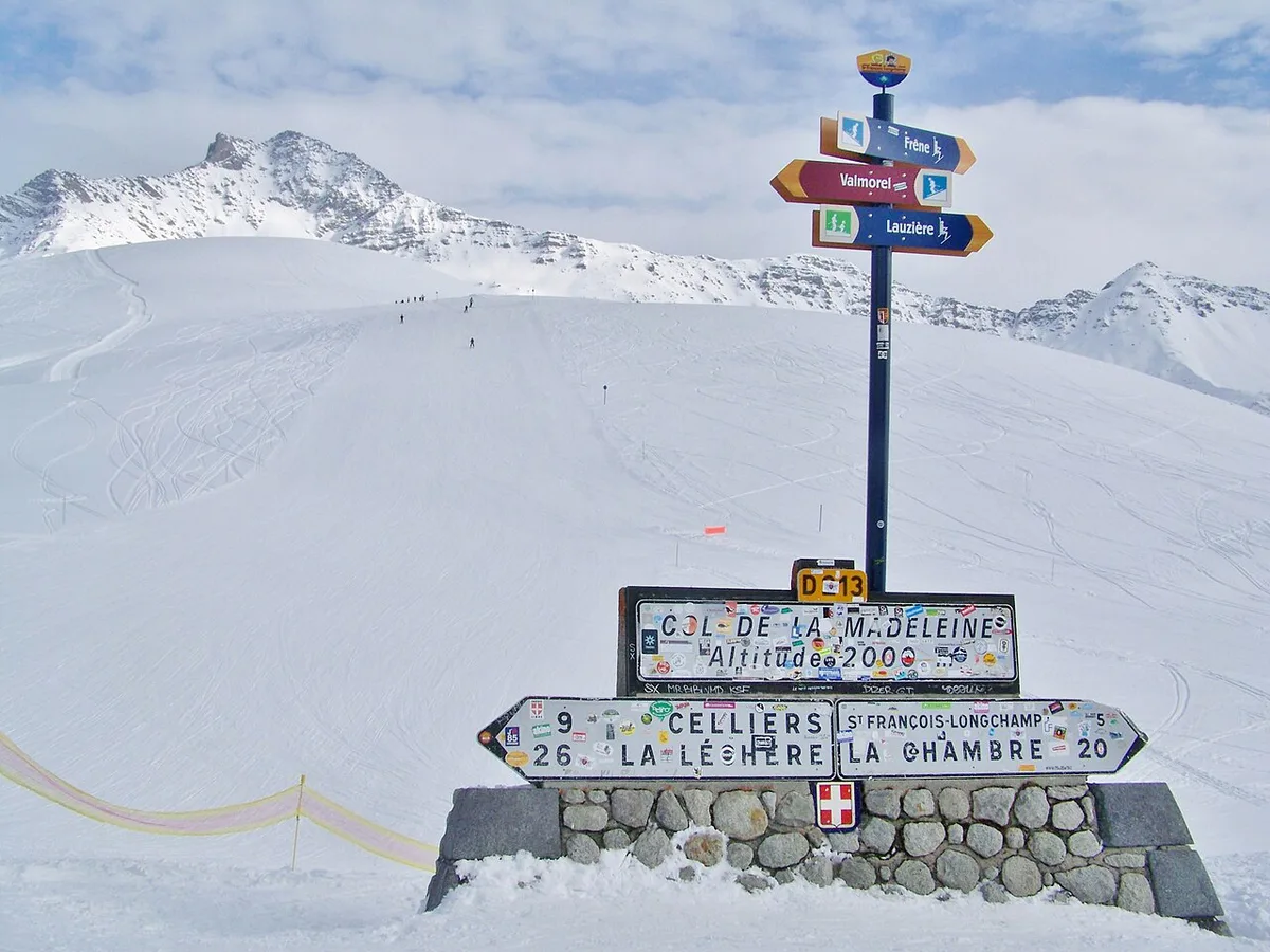
A pass near 1,993 m closes under winter snow, and the dates change each year. No fixed opening date is published here for that reason. Check the Savoie département road-status service before you leave, and look at Bison Futé traffic information for the wider road network. The Route des Grandes Alpes official site is useful if you are planning the pass as part of a longer tour. If the pass is shut, stay in the valley. A 2011 rider on the Maurienne loop used a cycle path from Frontenex towards Albertville, which gives you a flat alternative.
Whichever side you pick, the pass at about 1,993 m closes under winter snow, so confirm road status first.
Planning Your Day
Start in La Chambre for the south side, or near La Léchère for the north. Allow for a long descent as well as the climb. A 2011 rider's 106.5 km loop climbed 1,893 m in total and passed through Aiton and Albertville. That rider met a headwind blowing up the Maurienne on the return. Treat it as one rider's route, and check it against a current map before you copy it. Drivers and motorcyclists will find the south approach wide. Expect cyclists on the road, and leave room when you pass them. The summit restaurant has a terrace for food and drinks.
One rider's 106.5 km loop climbed 1,893 m in total, a useful benchmark against the 1,543 m gain on the south side alone.
- Do not trust virtual-ride or Zwift figures for the real pass. They describe a different climb.
- Do not set off without checking road status.
- Do not under-layer for the descent. It is cold at the top, even on a sunny day.
- Do not linger too long at the summit restaurant. One rider felt the stop was a mistake and would have carried on.
History and Tour de France Context
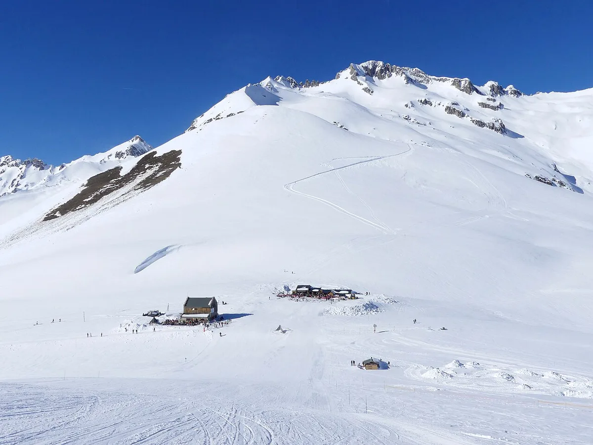
Until the 1960s, the way over the col was only a mule track. The last 1.5 km to the top were paved in 1967, and the road was inaugurated on 6 July 1969. Two days later the Tour de France crossed it on the stage from Chamonix to Briançon, with Andrés Gandarias first over the top. In 2018 the race climbed the north side on the stage to Alpe d'Huez. Julian Alaphilippe led over the summit, and Geraint Thomas won the stage.
Combine It With Other Alpine Passes
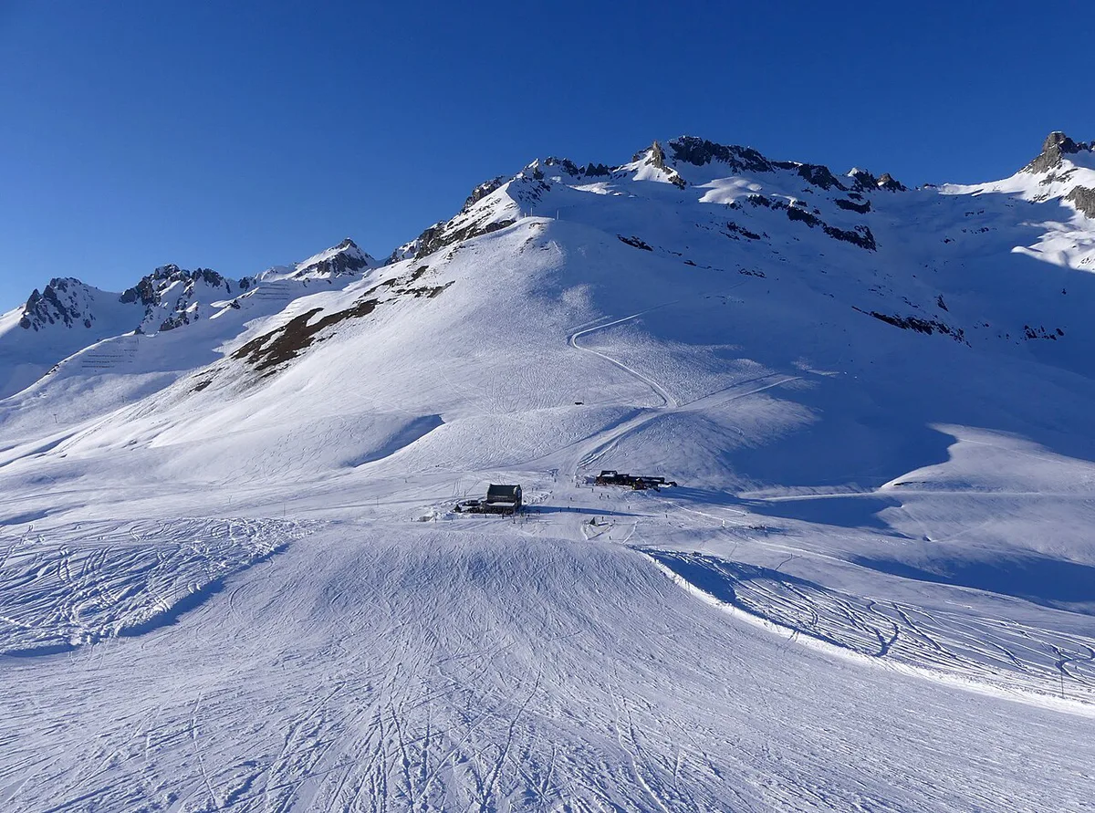
Pair the Madeleine with the Maurienne's Croix de Fer climb for a multi-pass day. The neighbouring Glandon approach is the natural companion. To push towards the Hautes-Alpes, add the Galibier ascent. The Lautaret road sits beside it. For the Tarentaise and cross-border options, look at the Iseran high road, the Little St Bernard crossing and the Mont Cenis route. If you want another iconic climb elsewhere in the Alps, try the Bonette ascent. It is not a neighbour, so plan it as a separate day.
Road-rule changes worth knowing
Optional updates to our guides.
You might also like

Continue reading
More guides you'll find useful