
Col de la Croix de Fer: Routes, Season & Driving Guide
Col de la Croix de Fer at 2,067 m: which approach to choose, when the road opens, how it pairs with the Glandon, and who it suits.
On this page
Last updated November 2026: the Col de la Croix de Fer is a 2,067 m (6,781 ft) pass in Savoie that links Le Bourg-d'Oisans with Saint-Jean-de-Maurienne. Snow closes the road in winter, and the open season runs from roughly late May or June to October or early November. Scenic drivers, cyclists and Tour de France fans all get something here, and this guide explains which approach suits each of them.
Featured image: Anthospace, CC BY-SA 4.0, via Wikimedia Commons.
Col de la Croix de Fer at a glance
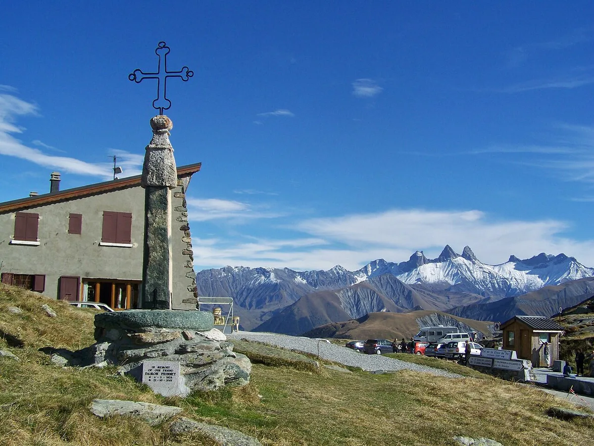
Col de la Croix de Fer means "Pass of the Iron Cross", after the large iron cross at the summit. Its road number at the top is D926, and the northern approach from Saint-Étienne-de-Cuines runs on D927. Prices and opening windows below were checked in November 2026 against published tourism sources.
- Height: 2,067 m (6,781 ft).
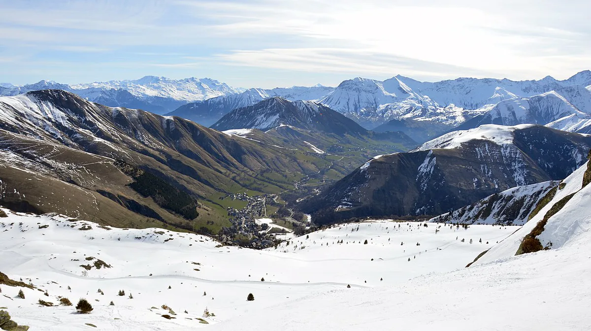
- Location: Savoie, between Oisans (Isère) and Maurienne.
- Summit road: D926.
- Season: closed by snow in winter, with a reported late May to early November window.
- Cyclist-measured approaches: about 29.5 km from Saint-Jean-de-Maurienne, about 29 to 31.5 km from the Oisans side, and about 22.7 to 23.2 km from the north.
Is the Col de la Croix de Fer worth it?
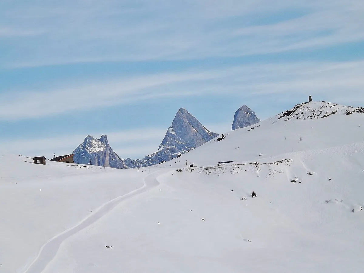
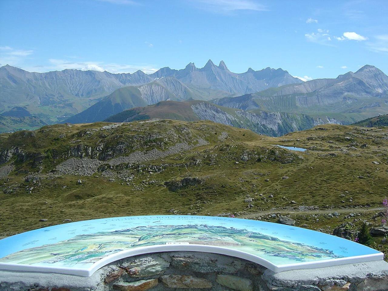
For drivers and motorcyclists, the pass is a scenic crossing between two valleys. From the summit you look over the Arvan valley, the Aiguilles d'Arves and the Sept Laux massif. Cyclists get an HC-category climb with a long Tour de France record. Fans get a pass that has featured in the race more than 20 times since 1947. If your day is already full of Alpine summits, it is a strong add-on. If you want only one quick stop, you can skip it without much regret.
Which approach to take: Maurienne, Oisans or north via Glandon
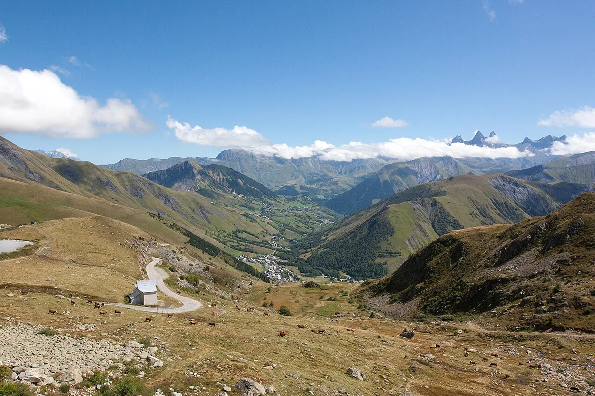
Every figure below comes from cyclist-measured data, and each names its start point. Start points differ between sources, so never compare one source's distance with another's. For a car, the choice mostly depends on where you are coming from and going to. "Hardest" refers to cycling gradient only. The Glandon junction sits about 2.5 km below the summit on the Oisans side, and our Col du Glandon guide covers that pass in detail.
| Approach | Start point | Length | Average gradient | Best fit |
|---|---|---|---|---|
| Maurienne (east) | Saint-Jean-de-Maurienne | about 29.5 km | about 5.5% | Arriving from Maurienne |
| Oisans (west) | Allemond | about 29 km | about 4.6% | Arriving from Bourg-d'Oisans |
| Oisans (west) | Rochetaillée | about 31.5 km | about 5.75% | Longer, steady start |
| North via Glandon | La Chambre | about 22.7 km | about 7.0% | Hardest for cyclists |
| North via Glandon | Saint-Étienne-de-Cuines | about 23.2 km | about 6.9% | Shares the Glandon climb |
Driving or riding it: road conditions, tunnels, gates and parking
Road reports describe a narrow road with no shoulder in fair to good condition. Traffic is mild on weekdays, but expect more cars near the Glandon and Croix de Fer summits on summer weekends. A reviewer reports 3 short tunnels on the Maurienne side and 4 via the Route Panoramique, so switch on lights. The same reviewer rode it on 5 June 2024 and found about 4.5 km of freshly laid loose gravel in the last 6 km. That report is dated and may since have been repaired. Bison Futé publishes national road traffic information for planning your drive. Gates close at the first significant snowfall, so local status matters more than any guidebook. No source supplies summit parking, fuel or EV charging details, so fill up in Saint-Jean-de-Maurienne or Le Bourg-d'Oisans before you climb.
Croix de Fer and Glandon: one ride or two?
On the Oisans side, the two passes are only about 2.5 km apart. Col du Glandon tops out at 1,924 m, which is 143 m lower than the Croix de Fer. The link between them runs about 2.4 to 2.6 km at roughly 5.3 to 5.7%.
Stopping at Glandon leaves you 143 m lower than the Croix de Fer, and that summit reaches 2,067 m.
- Croix de Fer only: you skip the Glandon turn-off and keep your legs for the summit.
- Glandon only: a lower, shorter objective that suits a tight schedule.
- Both: a Bourg-d'Oisans loop of about 79.5 km with 2,041 m of climbing has been mapped for cyclists. Tired legs are the cost, and the extra stretch has less traffic than the Glandon section.
- Drivers: the extra 2.5 km is a short detour and worth it for the summit cross and the Aiguilles d'Arves views.
When the Col de la Croix de Fer opens and the best time to go
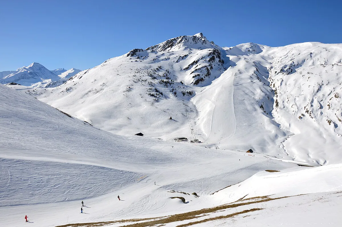
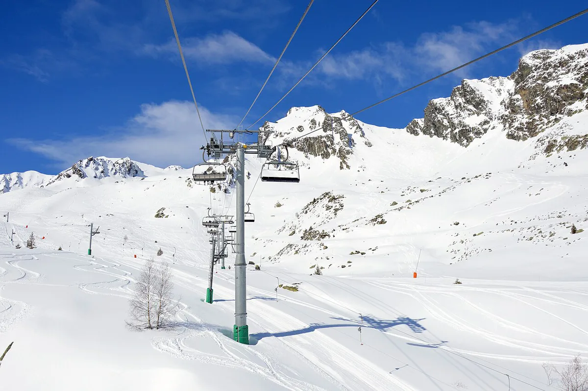
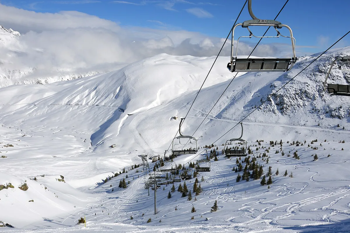
Sources disagree on dates. Oisans tourism says the road is open from June to October. A cycling guide reports a late May reopening and a closure at the first significant snow, typically by early November. Treat both as a range, because snowfall decides each year. Check the Route des Grandes Alpes site for pass openings across the region, and confirm this pass locally before driving up. Summit and Glandon food stops are seasonal, running roughly mid-June to mid-September.
| Period | What to expect |
|---|---|
| Winter to mid-May | Gated and closed by snow |
| Late May | Possible reopening, depending on snow |
| June | Open per Oisans tourism; services start mid-June |
| July to August | Main season; busier on weekends |
| September | Open; summit services reported until mid-month |
| October | Open per Oisans tourism, with no reliable services |
| Early November | Gate closes at first significant snow |
Cycling the Col de la Croix de Fer
From Saint-Jean-de-Maurienne, one report puts the steepest section near 9.5%. From Rochetaillée, short sections exceed 11%. On the north approach, the steepest 500 m averages about 11.7% at km 11.2, so pack low gears. A reviewer climbing from Saint-Jean-de-Maurienne found little drinking water until Saint-Sorlin, so carry extra. From Bourg-d'Oisans, the last fountain is at Le Rivier d'Allemont, and the hardest stretch runs from there to the Grand'Maison dam. Time estimates depend on fitness. A virtual Zwift version of 27.1 km estimates 148 minutes at 2 W/kg and 68 minutes at 5 W/kg. Those are indoor figures, not road guidance.
Expect about 11.7% on the north approach, well above the average of about 7.0% that the La Chambre route shows.
The pass in the Tour de France
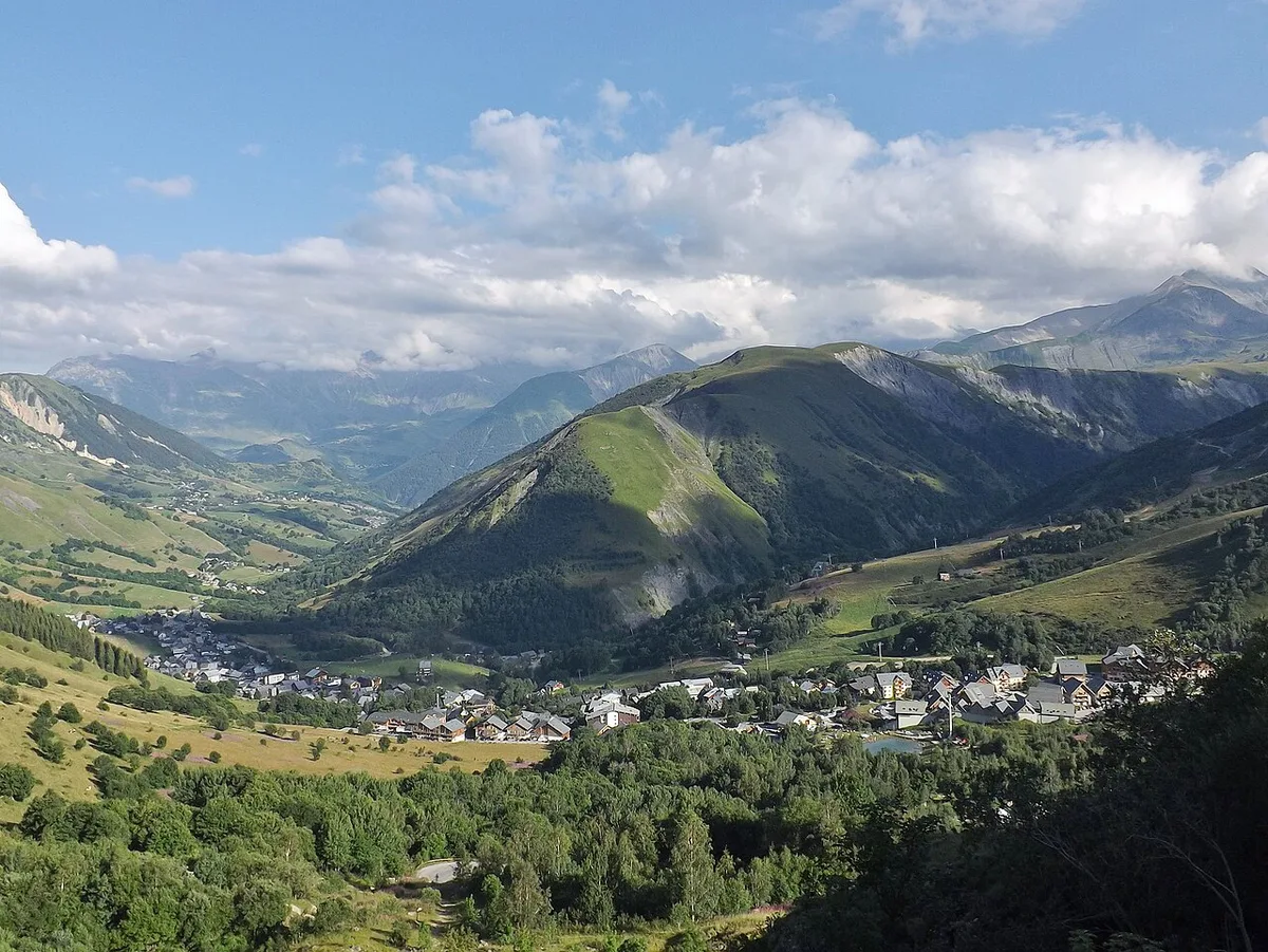
Fermo Camellini led the race over the summit in 1947, its first crossing. In 2012, stage 11 from Albertville to La Toussuire used it. In 2015, a landslide forced a reroute, and the pass replaced Télégraphe and Galibier on the Modane to Alpe d'Huez stage. In 1986, Bernard Hinault and Greg LeMond crossed together. Appearance counts vary between sources, so "more than 20 times" is the safe phrasing. A 2026 stage to Alpe d'Huez also used the pass, with Richard Carapaz leading at the summit. On race days, expect road closures and heavy crowds near the top.
Food, water and where to stay
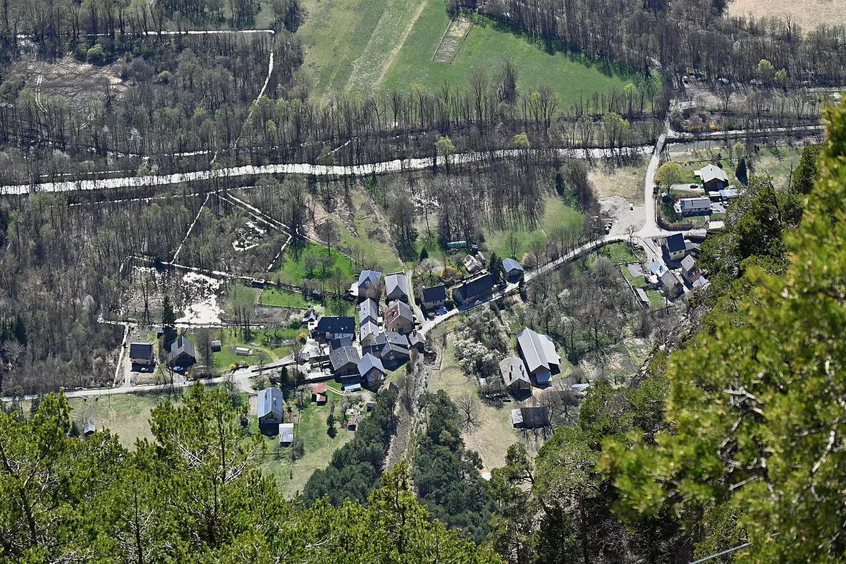
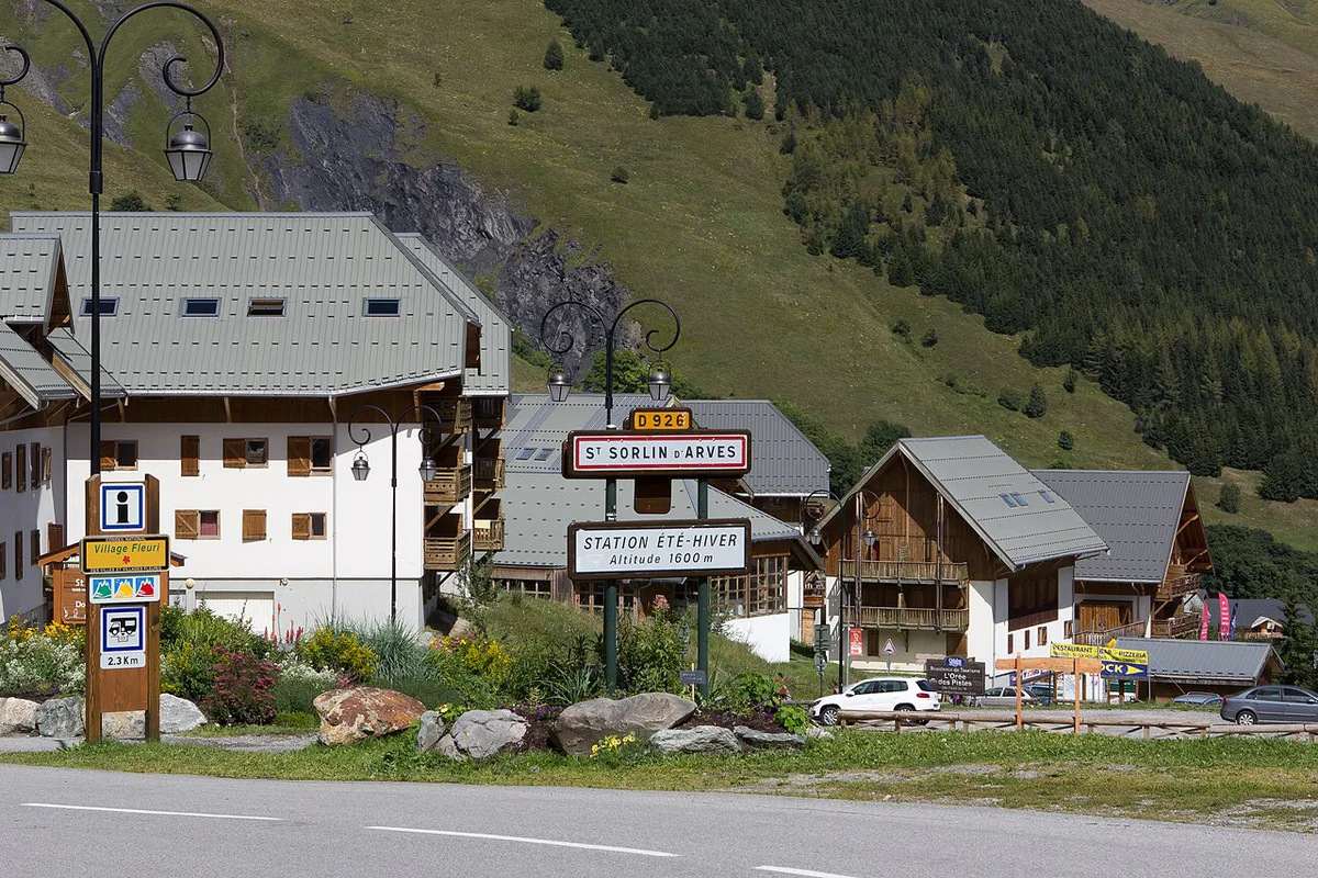
Two seasonal stops are reported: Chalet Col du Glandon at km 20.3 on the north approach and a bar-restaurant at the summit. Both run roughly mid-June to mid-September. Cycle-friendly bases include Saint-Jean-de-Maurienne, Le Bourg-d'Oisans, Allemond and Valloire. Allemond also hosts the Oisans tourist office. For lodging, book in whichever valley matches your approach, since the pass road itself has no hotels.
Combining it with other Alpine passes
On the Maurienne side, the Croix de Fer pairs naturally with Col du Galibier: Opening Dates, Routes & Planning Guide. Its neighbour Col de la Madeleine: North vs South Side, Season & Route Guide is another Maurienne climb. Heading toward Oisans, Col du Lautaret: Cycling Sides, Road Conditions & More continues the route. For the wider itinerary, start with our Route des Grandes Alpes guide. Other great passes include Col de l'Iseran and Col de l'Izoard.
Mistakes to avoid
Most problems come from timing and mixed-up data.
- Driving up outside the snow-free window without checking the gate.
- Treating the Glandon summit as the Croix de Fer summit; they are about 2.5 km apart.
- Assuming food and water are open in October.
- Trusting the 2024 gravel report as the current surface.
- Skipping lights in the tunnels.
- Mixing distances from different start points.
Frequently Asked Questions
What does Col de la Croix de Fer mean?
It means "Pass of the Iron Cross" in English. The name comes from the large iron cross at the summit. Oisans tourism adds that the pass was once called Col d'Olle, because the Eau d'Olle rises there.
Road-rule changes worth knowing
Optional updates to our guides.
You might also like

Continue reading
More guides you'll find useful