
Col de l'Iseran: Guide to the Highest Paved Alpine Pass
Everything about the Col de l'Iseran in France: climbs from Val-d'Isère and Bonneval, gradients, opening season, tunnels and trip planning.
On this page
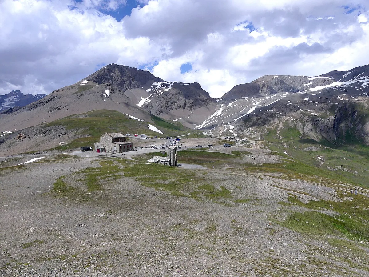
Last updated November 2026: Col de l'Iseran is the highest paved pass in the Alps, reaching 2,764 m (9,068 ft) on the D902 in Savoie. It links Val-d'Isère in the Tarentaise valley with Bonneval-sur-Arc in the Maurienne valley, and road traffic can use it only in summer. Below, you get a side-by-side comparison of the approaches and a plan for chaining nearby passes.
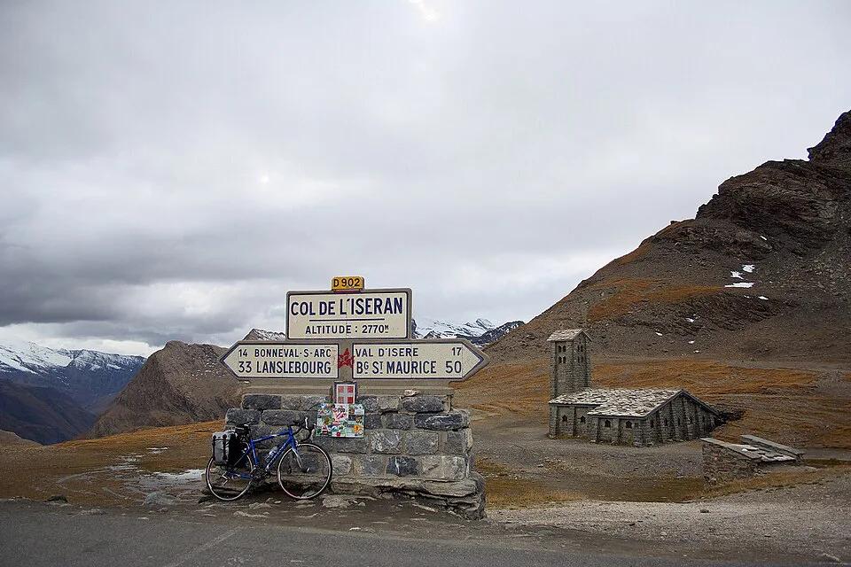
Featured image: Soumei Baba, CC BY 2.0, via Wikimedia Commons.
Col de l'Iseran at a glance
Col de l'Iseran sits in the Graian Alps, in the department of Savoie, close to the Italian border. Its summit stands at 2,764 m (9,068 ft), although one cycling database lists 2,770 m. Expect a few metres of difference between sources. Route-wise, the pass belongs to the Grandes Alpes driving route between Lake Geneva and the Mediterranean. Walkers reach the same summit on the GR5 and the Grande Traversée des Alpes, where it marks the highest point of both. South of the summit, the steep descent passes waterfalls and enters the Vanoise National Park.
- Height: 2,764 m (9,068 ft)
- Road: D902
- Department: Savoie, in the Graian Alps
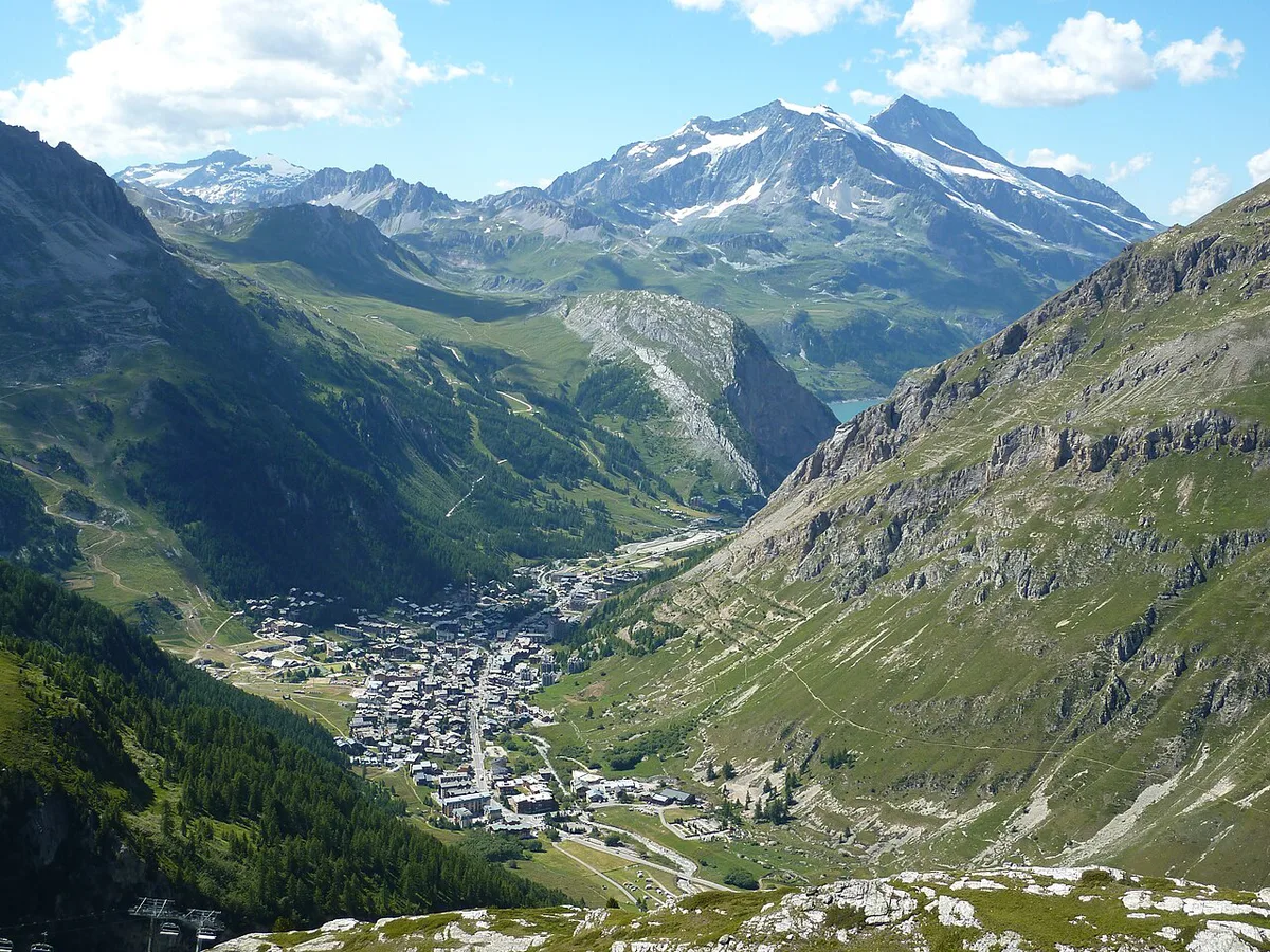
- Valleys: Tarentaise (Isère) to the north, Maurienne (Arc) to the south
- Season: summer only for road traffic
When is the Col de l'Iseran open?
Road access is possible only in the summer months. In winter, the summit is reachable only by pistes and ski lifts from the Tignes–Val d'Isère ski area. Opening and closing dates shift with snowfall, so no fixed calendar date is reliable. Early-June and late-season closures depend on the weather, and snow walls often remain near the 2,764 m summit. Season length varies from year to year, so build flexibility into your dates rather than fixing a single crossing day. Read live road status on the national Bison Futé traffic service before you leave. Ask the Val-d'Isère tourist office as well, or the Haute-Maurienne Vanoise tourist office if you start in Bonneval-sur-Arc. Barriers mean the road is closed, so turn back. If the Iseran is shut, the Little St Bernard crossing near Bourg-Saint-Maurice is the neighbouring Tarentaise route to Italy.
- Before you leave: read the live road bulletin and the mountain forecast on the day you travel.
- Mistake: relying on a single source for opening status.
- Mistake: starting from Bourg-Saint-Maurice without knowing about the tunnels.
- Mistake: underestimating the weather at altitude.
Which side to take: Val-d'Isère, Bonneval-sur-Arc or Bourg-Saint-Maurice
Most trips use one of four starting points. Val-d'Isère gives the quietest road, and one cycling guide advises it over Bourg-Saint-Maurice because the lower D902 is busy with traffic and tunnels. Bonneval-sur-Arc starts the final 13.4 km on the south side, which is the steeper approach. Lanslebourg-Mont-Cenis begins a longer southern climb of 32.9 km (20.4 mi). Climb databases list the Mont-Cenis pass about 20 km from the Iseran. Gradient figures differ between sources because each one segments the climb differently.
| Start point | Distance and gain | Average gradient | Traffic and scenery | Best fit |
|---|---|---|---|---|
| Val-d'Isère | Last 15 km (9 mi), 895 m (2,936 ft) | About 6% | Quieter road from the ski resort | Drivers, motorcyclists, cyclists wanting the cleaner climb |
| Bonneval-sur-Arc | Last 13.4 km (8.3 mi), 977 m (3,205 ft) | 7.3% reported, sections above 10% | Steepest approach, waterfalls and Vanoise National Park on the descent | Strong cyclists, scenic drivers |
| Bourg-Saint-Maurice | 48 km (30 mi), 1,955 m (6,414 ft) | 4.1% | Busy lower D902 with short tunnels and avalanche galleries | Full-length purists |
| Lanslebourg-Mont-Cenis | 32.9 km (20.4 mi), 1,371 m (4,498 ft) | 4.2% | Longer southern approach | Cyclists who want the full south climb |
Driving or riding the pass: tunnels, hairpins and what to expect
From the north, the D902 rises and dips through short tunnels and avalanche galleries past Lac du Chevril, near Tignes. Some tunnels on the Bourg-Saint-Maurice side are dimly lit, so riders should switch on bike lights and drivers should use headlights. A cycling database counts 12 hairpin turns on that climb. Roadside milestones on both sides show the distance to the summit, the altitude and the average slope of the next kilometre. Drivers and motorcyclists should allow a half day for the pass, including photo stops. Summit services are not confirmed, so ask the Val-d'Isère tourist office about fuel, charging and refreshments. Start with a full tank or battery. Plan the descent as carefully as the climb, because the southern side drops steeply toward Bonneval-sur-Arc past the waterfalls.
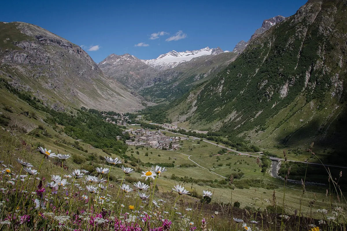
Bonneval-sur-Arc's side averages 7.3%, the steepest grade on the climb, and the southern descent drops steeply toward that village.
- Tunnel safety: bike lights on for the dimly lit northern tunnels.
- Drivers and motorcyclists: headlights on in tunnels and galleries.
Cycling the Col de l'Iseran: difficulty, gradient and gearing
Full-length purists start in Bourg-Saint-Maurice: 48 km (30 mi), 1,955 m (6,414 ft) of ascent and a 4.1% average. Another database gives 46.8 km, so lengths vary with the exact start point. From Val-d'Isère, the last 15 km (9 mi) climb 895 m (2,936 ft) at roughly 6%. One cycling guide suggests a 34x28 gear for this side, though the right ratio depends on your fitness. Bonneval-sur-Arc has the steepest ground, reported at a 7.3% average over 13.4 km (8.3 mi) with sections above 10%. Cycling times depend on fitness, load and wind, so no single figure fits every rider. Carry lights for the tunnels on the northern approach.
Altitude and weather at 2,764 m
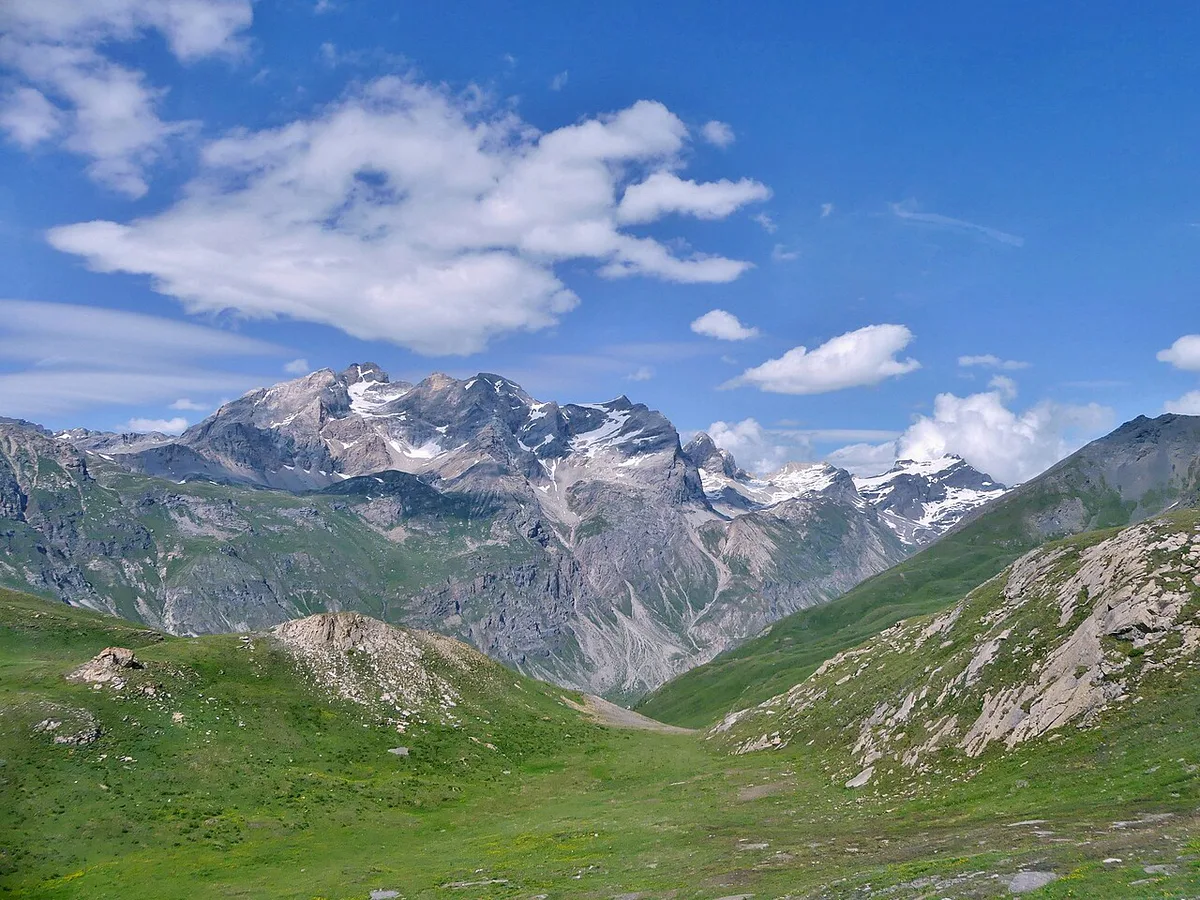
At 2,764 m, weather can differ sharply from the valley floors in Val-d'Isère and Bonneval-sur-Arc. Expect cold, wind and fast-changing conditions even in summer. Snow walls often line the road near the top early in the season. Pack warm layers and a windproof shell. Météo-France publishes mountain forecasts, and the Vanoise National Park offers general mountain-safety guidance. Start early so you reach the summit with time in hand if clouds build.
Pack a windproof shell for the 2,764 m summit, since snow in 1996 forced organisers to drop the pass from a stage.
Tour de France history on the Iseran
Tour de France organisers first used the pass in 1938, with Félicien Vervaecke first over the summit. In 1939, a mountain time trial ran from Bonneval-sur-Arc to Bourg-Saint-Maurice, and Sylvère Maes won it. Snow in 1996 forced organisers to drop the Iseran, and a 190 km stage from Val-d'Isère to Sestriere shrank to a 46 km sprint. Snow on the Galibier contributed to that cut. Stage 9 in 2007 ran 159.5 km (99 mi) from Val-d'Isère to Briançon. In 2019, stage 19 to Tignes was truncated, with general classification times taken at the Iseran summit. For a visitor, the lesson is practical: weather that cut the 1996 and 2019 stages can close the road to you as well.
Combine it with other Alpine passes
Chaining passes turns the Iseran into a multi-day drive or ride. Stage-by-stage detail sits on the official Grandes Alpes site. Start with the Grandes Alpes driving route overview, then pick the passes below. A relaxed plan gives each pass its own half day, matching the time budget above.
- Galibier: the next pass south on the route.
- Lautaret: pairs naturally with the Galibier.
- Izoard: further south on the Grandes Alpes route.
- Bonette: further south again, toward the Mediterranean end.
- Madeleine: a Maurienne neighbour for a separate day.
- Croix de Fer: another neighbour between the Maurienne and Tarentaise valleys.
- Glandon: close to the Croix de Fer.
Where to base yourself
Staying in Val-d'Isère puts you 15 km from the summit on the quieter approach. Tignes sits near Lac du Chevril on the northern road. Bonneval-sur-Arc anchors the south side, while Bourg-Saint-Maurice and Lanslebourg-Mont-Cenis suit riders who want the longer climbs. Tourist-office listings give current lodging options.
Road-rule changes worth knowing
Optional updates to our guides.
You might also like

Continue reading
More guides you'll find useful