
Little St Bernard Pass: Driving the Col du Petit-Saint-Bernard
Driving the Little St Bernard Pass between France and Italy: when it's open, how the two approaches compare, what to see at the top, and how it fits the Route des Grandes Alpes.
On this page
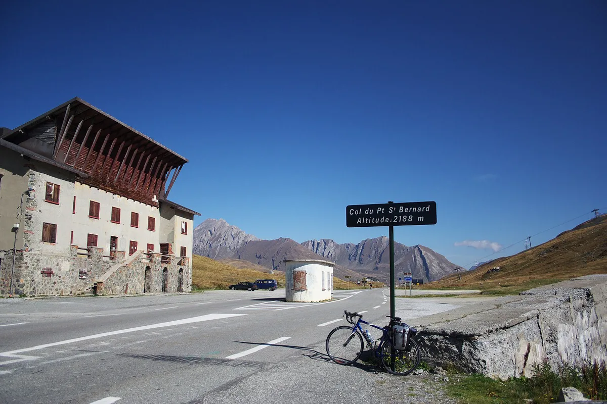
Last updated November 2026: the Little St Bernard Pass (Col du Petit-Saint-Bernard) crosses the Graian Alps at 2,188 m. It links Bourg-Saint-Maurice in Savoie with La Thuile in Italy's Aosta Valley. Snow closes the road each winter, and this guide covers how to check it is open, which side to drive from and what to stop for at the top.
Featured image: Krzysztof Golik, CC BY-SA 4.0, via Wikimedia Commons.
Little St Bernard Pass at a glance
Little St Bernard Pass carries a paved road over the France–Italy border at 2,188 m. Most maps give that elevation, though one hiking source quotes 2,202 m. Drivers cross it between the Tarentaise valley and the Aosta Valley. It is also the northern start of the Route des Grandes Alpes, which makes it a natural first col for a Cap-Sud-Mediterranean trip. Reckon on a seasonal road: snow shuts it for months each winter.
- Elevation: 2,188 m
- Road numbers: RN90 or D1090 on the French side, SS26 on the Italian side
- Closure: winter snow, roughly November to May or June
- Difficulty: easy for a high Alpine col
- Approach towns: Séez and Bourg-Saint-Maurice (France), La Thuile (Italy)
Is the pass open? Season and road-status checks
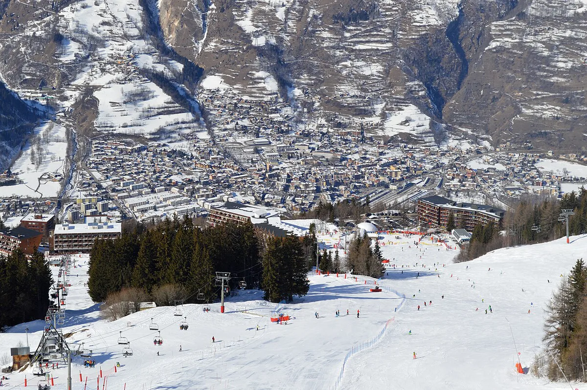
Winter snow closes the road, and published closure windows disagree. Italian sources say November to June. A motorcycle database says November to May. Fixed dates are therefore unreliable, and the opening date moves with each year's snowpack. Check live French road conditions on Bison Futé traffic information before you leave. For the Italian side, look at the Aosta Valley regional road pages or ask at La Thuile. If the pass is shut, the Mont Blanc tunnel is the usual fallback for reaching the Aosta Valley. Plan your first day around a morning status check rather than a date in your diary.
Which approach: France (Séez side) or Italy (La Thuile side)?
Both sides reach the same summit, so the choice mostly follows where you sleep the night before. The French climb starts near Séez and Bourg-Saint-Maurice. The Italian climb starts from La Thuile, a ski village below the pass. If you are starting the Route des Grandes Alpes, you will usually come up from Italy, then descend into Savoie.
| Factor | France (Séez side) | Italy (La Thuile side) |
|---|---|---|
| Start town | Séez, near Bourg-Saint-Maurice | La Thuile |
| Road | RN90 / D1090 | SS26 |
| Character | Steady climb with hairpins near the top | Long climb through ski-village terrain, then the plateau |
| Services | Fuller range in Bourg-Saint-Maurice | Smaller village, with Pré-Saint-Didier further down |
| Best fit | Drivers heading on into the French Alps | Drivers coming from the Aosta Valley or Courmayeur area |
What the drive is like
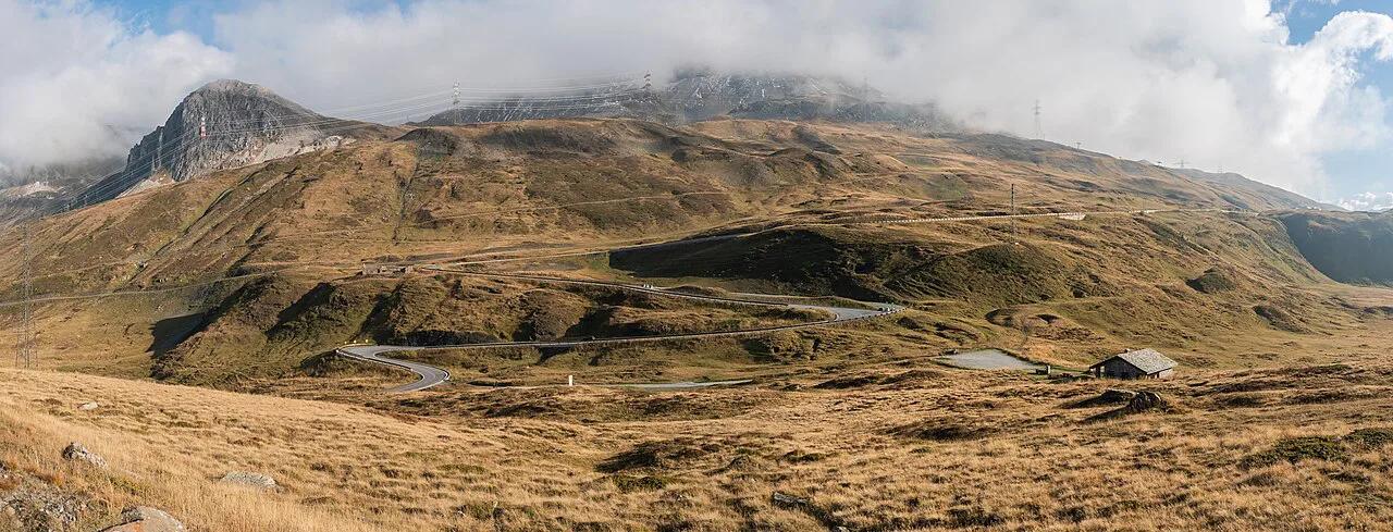
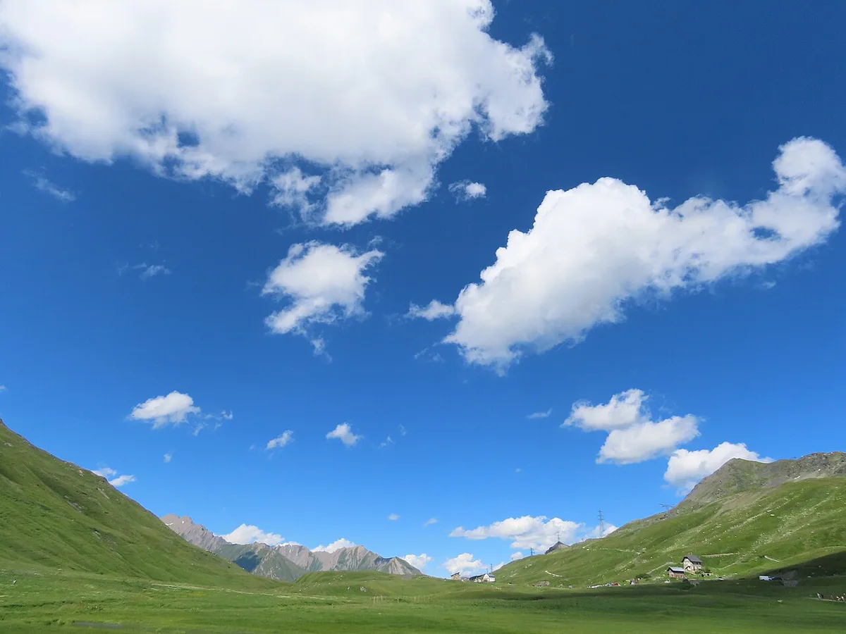
Expect an easy pass by high-Alpine standards. The road is paved and wide enough for two vehicles. Hairpins bunch up near the top, with about eight reported on the French side. Sources disagree on the steepest gradient, quoting 8.2% in one place and about 13% in another. Plan for short steeper stretches rather than one fixed figure. Cloud and fog can sit on the summit plateau at 2,188 m, so visibility matters more than the road itself. Early snow can also appear in autumn. Take your time on the descent and leave daylight to spare.
Difficulty is rated easy for a high Alpine col, yet sources quote gradients up to about 13%.
What to see at the top
The summit area packs several short stops into a small plateau. A quick photo stop takes minutes. A longer wander with a lake loop fills an hour or more. Opening times for the Chanousia garden change with the season, so check the garden's own site before you plan around it.
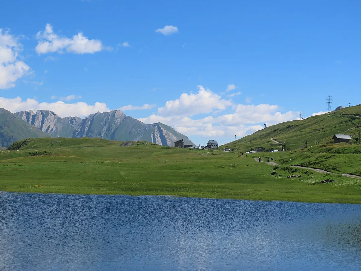
- Lake Verney: a glacial lake on the Italian side below the col, about 20 m deep.
- Cromlech: a Neolithic stone circle, roughly 72 m across on its long axis, with part of it cut by the road.
- Chanousia alpine garden: founded in the 1880s by Abbé Pierre Chanoux, now co-managed by the Savoie department.
- Hospice ruins: the old hospice was damaged in World War II and never reopened.
- Statue of St Bernard of Menthon: the patron saint of mountaineers, who is linked to the hospice.
- Lancebranlette: a walk of about three hours from the col for a view of Mont Blanc.
Little St Bernard Pass on the Route des Grandes Alpes
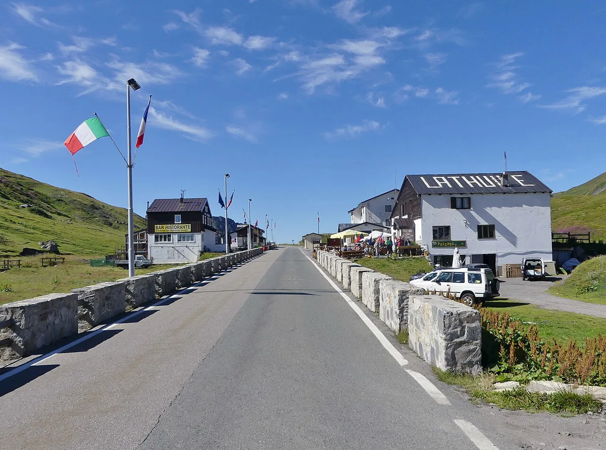
Little St Bernard Pass works as the northern start of the Route des Grandes Alpes: 7 Passes, Days, Best Time on this site's route map. The official route site publishes the full itinerary. Heading south toward the Mediterranean, this is the gentlest col you will meet. It is lower than Col de l'Iseran and easier than Col du Galibier: Opening Dates, Routes & Planning Guide. Both lie ahead on the route. The hardest high-altitude driving comes later, near Col de la Bonette: Season, Climb Stats and Which Side. Treat day one as a warm-up: cross the pass, descend to Bourg-Saint-Maurice and keep the energy for the bigger cols.
Planning logistics
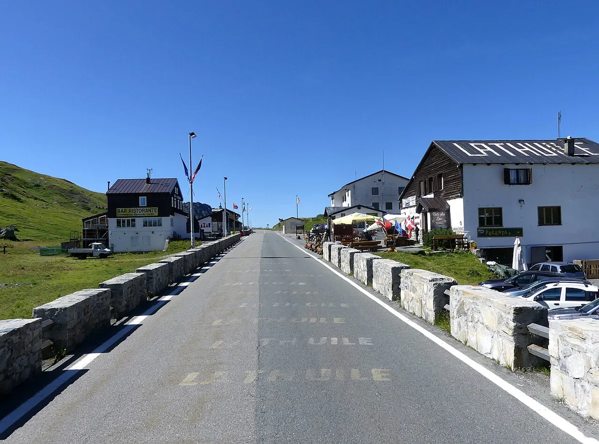
Fuel up in Bourg-Saint-Maurice or La Thuile before you climb. Both are real towns with services, while the summit has little beyond a few seasonal bars. Parking is available near Lake Verney just below the col. Good bases include Bourg-Saint-Maurice, Séez, La Thuile and Pré-Saint-Didier. The nearest airport on the Italian side is Aosta's Corrado Gex airport at Saint-Christophe. Budget time by what you want to do.
Park near Lake Verney, a glacial lake about 20 m deep, and plan a short stop there as part of the crossing.
| Plan | Rough time | What it covers |
|---|---|---|
| Quick crossing | Under an hour of climbing from either town | Drive over with a short photo stop |
| Crossing with stops | Around half a day | Lake Verney, cromlech, hospice ruins, a meal |
| Crossing with a walk | Most of a day | Add a Lancebranlette hike of about three hours |
Alternatives and mistakes to avoid
If the pass is closed or the weather is poor, the Mont Blanc tunnel is the fast alternative. The Great St Bernard is a different pass farther north, linking Switzerland and Italy. For a Savoie–Italy crossing further south, consider Col du Mont-Cenis. Medieval travellers used it when the Roman road over the Little St Bernard fell out of favour. Avoid three common errors. First, do not assume the pass is open in late spring. Second, do not start the climb on a near-empty tank. Third, do not arrive late in bad weather, because cloud closes in fast at 2,188 m. For the wider plan, return to the Route des Grandes Alpes: 7 Passes, Days, Best Time overview.
Frequently Asked Questions
Where is the Saint Bernard pass?
Little St Bernard Pass sits on the France–Italy border, between Bourg-Saint-Maurice in Savoie and La Thuile in the Aosta Valley. The better-known Great St Bernard is a separate pass that links Switzerland and Italy.
Road-rule changes worth knowing
Optional updates to our guides.
You might also like

Continue reading
More guides you'll find useful