
Col du Tourmalet Guide: Riding, Driving & Seasonal Access
Plan the Col du Tourmalet in the French Pyrenees: who it suits, seasonal access, how to ride or drive it, and when to avoid it.
On this page
Last updated November 2026: the Col du Tourmalet is a high road pass in the French Pyrenees, in southwest France, long linked with the Tour de France. It suits cyclists, scenic drivers and race fans, and it is a poor fit for anyone who dislikes fog, cold or narrow mountain roads. Seasonal closure is the main planning risk: the road is usually shut from early December to early June.
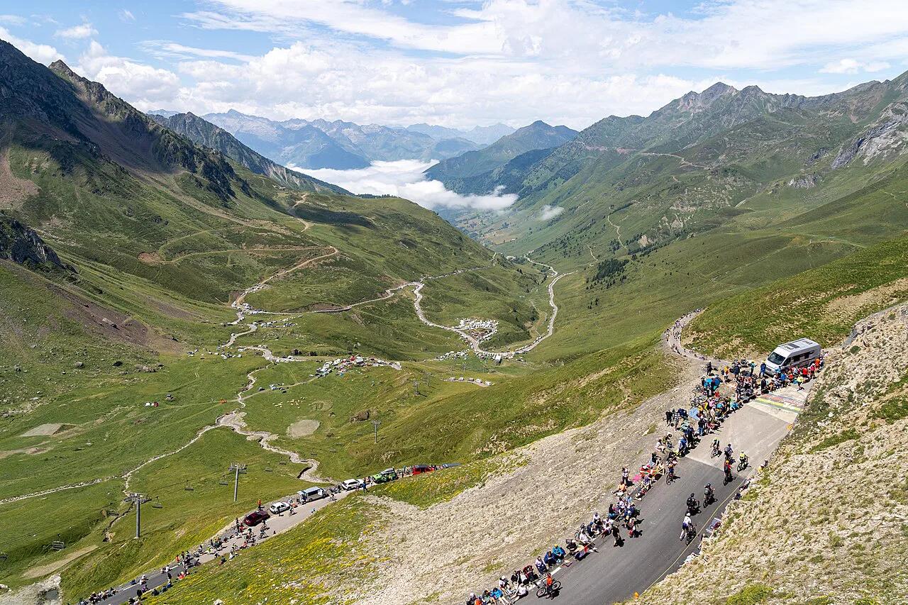
Featured image: Hugo LUC, CC BY-SA 4.0, via Wikimedia Commons.
Col du Tourmalet at a glance
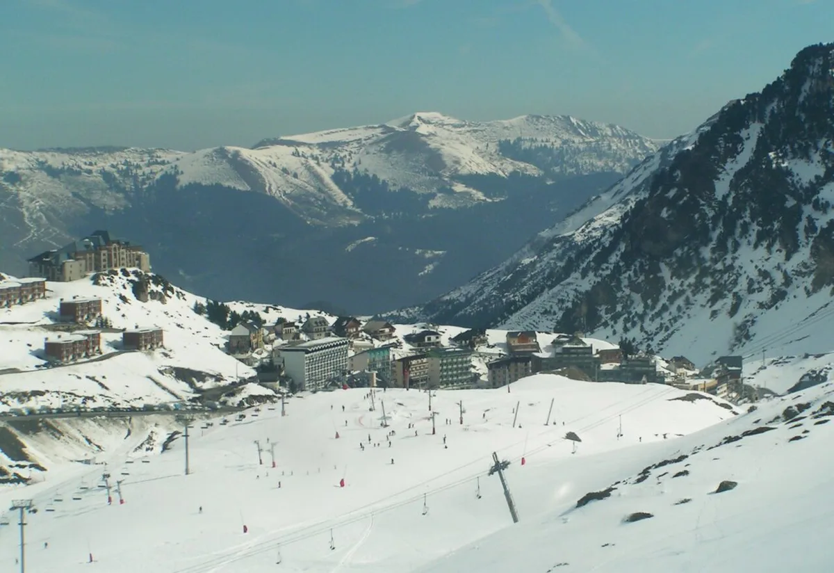
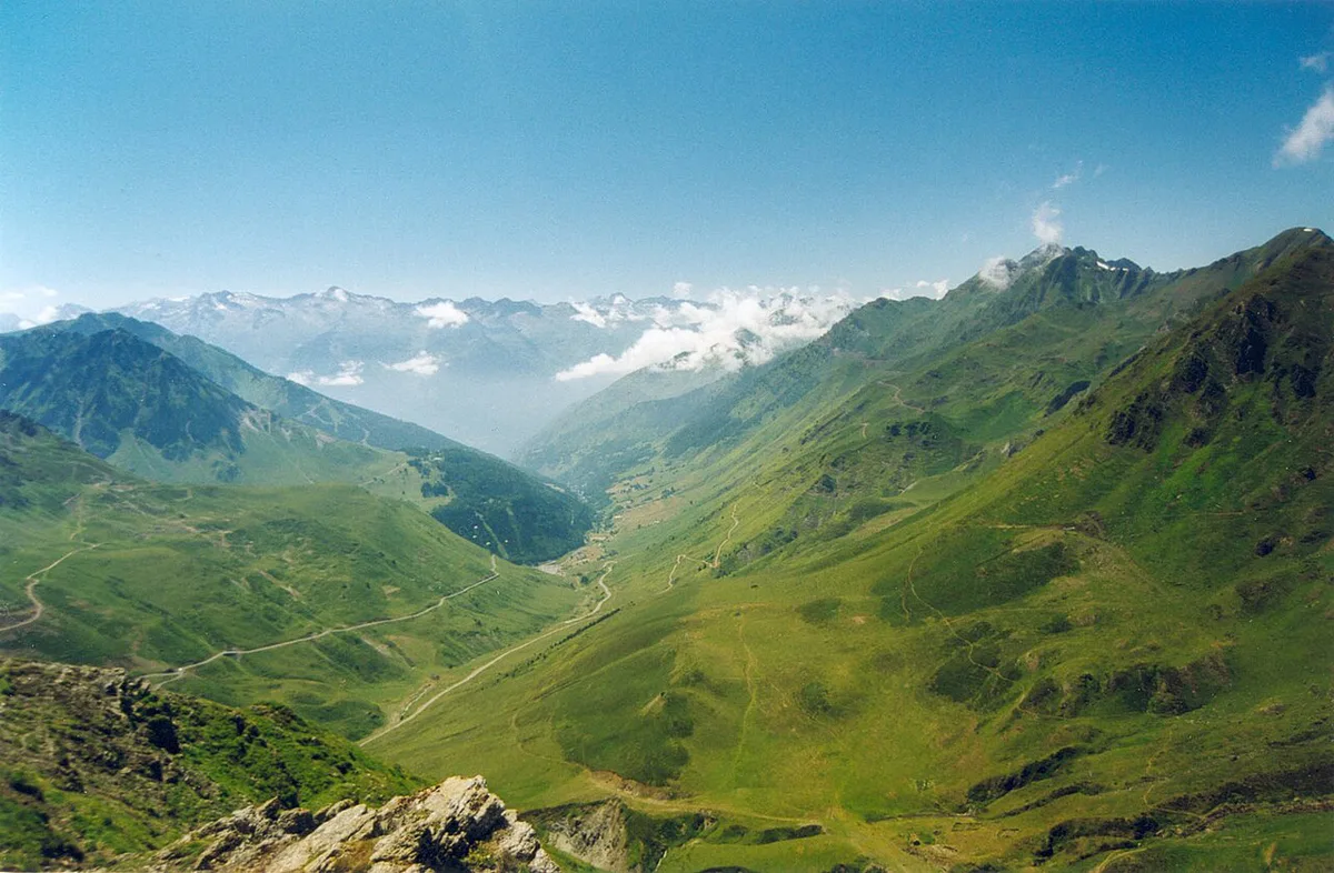
Tourmalet is a Pyrenean pass, not an Alpine one. The summit sits at 2,115 m (6,939 ft) on the D918 in the Hautes-Pyrénées. The road links Sainte-Marie-de-Campan in the east, through the La Mongie ski resort, with Luz-Saint-Sauveur in the west, through Barèges. It is the second-highest paved pass in the French Pyrenees after the Col de Portet, according to Wikipedia. Length and gradient depend on the side and the starting point; the comparison table further down gives both.
| Item | What to know |
|---|---|
| Mountain range | Pyrenees, southwest France |
| Département | Hautes-Pyrénées |
| Summit altitude | 2,115 m (6,939 ft) |
| East side | Sainte-Marie-de-Campan, via La Mongie |
| West side | Luz-Saint-Sauveur, via Barèges |
| Road type | Paved through-pass on the D918, not a dead end |
| Usual winter closure | Early December to early June |
| Main planning risk | Seasonal closure and fast-changing summit weather |
Is the Col du Tourmalet worth it? Who it suits and who should skip it
Worth it if you want a famous climb, big mountain scenery and a road that crosses the range rather than stopping at a viewpoint. Fog, cold wind and narrow stretches can spoil the day, so match the pass to your group.
- Cyclists: a serious, sustained climb that rewards steady pacing and an early start.
- Drivers and motorcyclists: a scenic crossing with hairpins, best on a clear morning.
- Tour fans: a place to stand on the same tarmac the race uses.
- Families with young children: possible by car, but allow for cold at the summit and slow traffic.
- Skip it if: you are nervous on exposed mountain roads, the forecast shows low cloud, or the road status shows a closure.
When it's open and the best time to go
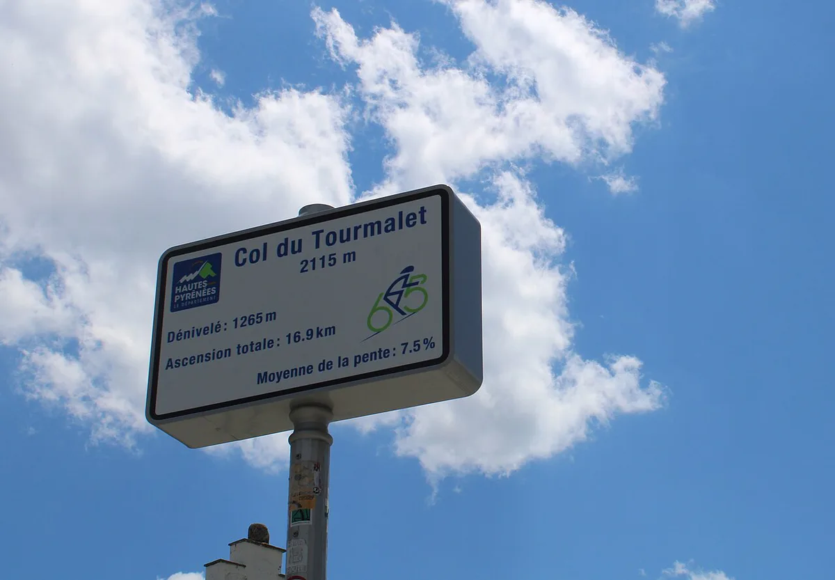
Snow closes the Tourmalet in winter. The road is usually closed to traffic in early December and reopened in early June, according to French Wikipedia, but the exact dates depend on snow clearance each year. Check the Hautes-Pyrénées department road information on the day you travel: its Inforoute page posts the opening and closing of the department's passes in real time. Summer is the safest window, and shoulder seasons bring cold mornings and a higher chance of a closed gate.
Weather-window timing: early, midday or late
Mountain weather tends to be calmest early and less predictable later. Use this qualitative guide to choose your start.
| Start time | Traffic | Weather risk | Best for |
|---|---|---|---|
| Early morning | Low | Lower | Cyclists and photographers |
| Midday | High | Medium | Drivers happy with company |
| Late afternoon | Medium | Higher, with colder summit air | Short summit stop only |
Riding it vs driving it: trade-offs
Driving is free apart from fuel, while riding costs effort rather than money. Costs arise mainly from parking, food and accommodation in the valley villages.
| Factor | Riding | Driving or motorbike |
|---|---|---|
| Effort | High | Low |
| Time on the climb | Longer | Shorter |
| Parking | Needed at the start | Needed at viewpoints |
| Weather exposure | High | Medium |
| Safety concern | Descent speed and cold | Narrow bends and cyclists |
| Direct cost | Low, plus bike rental if needed | Fuel, plus parking and meals |
Which side of the Col du Tourmalet is better?
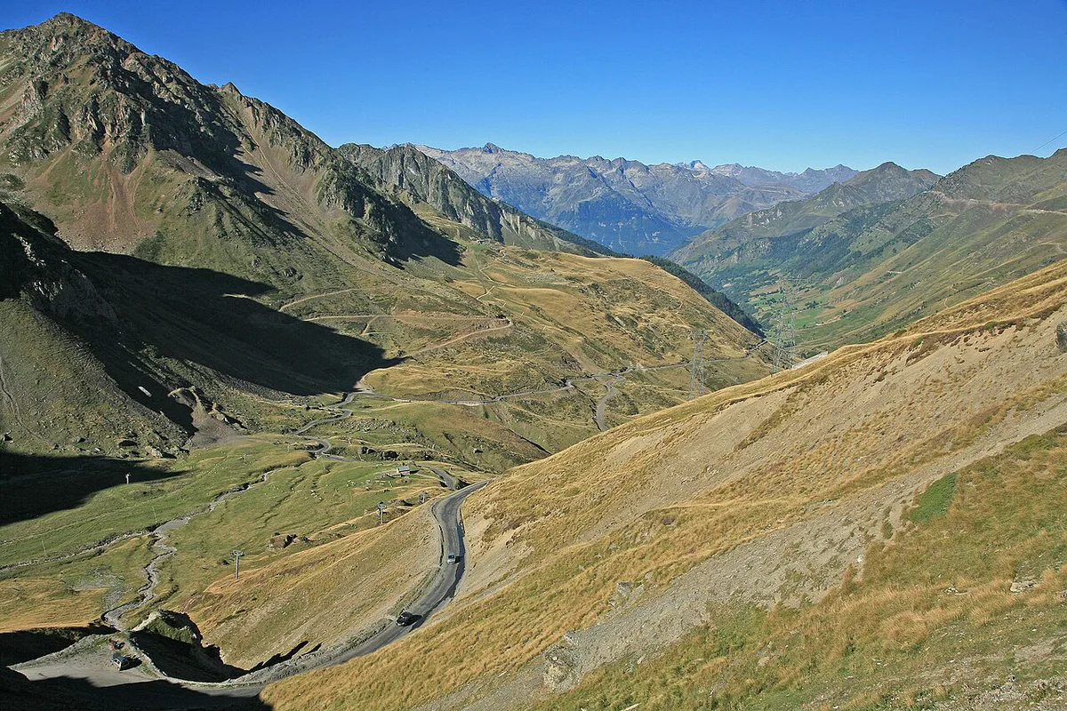
Both sides average about 7.4%, so the choice comes down to where you are staying and what you want to see. The east side from Sainte-Marie-de-Campan is a little shorter, passes the La Mongie ski resort about two-thirds of the way up and has the steepest pitches, with avalanche shelters and tight hairpins near the top. The west side from Luz-Saint-Sauveur is longer and climbs through Barèges, with more height gain overall. Drivers crossing the range can go up one side and down the other in a single trip.
Tourmalet climb facts by side
These figures come from the English Wikipedia article on the pass. French Wikipedia measures the old western road from Luz-Saint-Sauveur at 18.3 km and 7.7%, and the newer line through Super-Barèges at 19 km and 7.4%, so small differences between guides are normal.
| Side | Start | Length | Height gain | Average | Steepest |
|---|---|---|---|---|---|
| East | Sainte-Marie-de-Campan (851 m), via La Mongie | 17.2 km (10.7 mi) | 1,268 m | 7.4% | 12% |
| West | Luz-Saint-Sauveur (711 m), via Barèges | 19.0 km (11.8 mi) | 1,404 m | 7.4% | 10.2% |
For a driver, the numbers mean a sustained climb in low gears with little flat relief, and a long descent on the far side. Use engine braking on the way down, and leave room on every bend for cyclists, who climb both sides in large numbers in summer.
At the summit: the Géant and the Pic du Midi
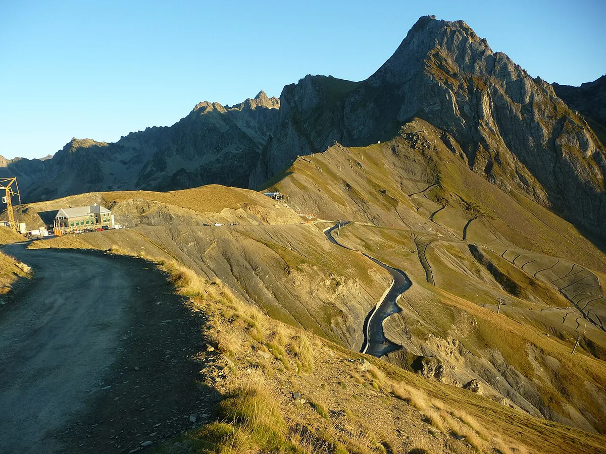
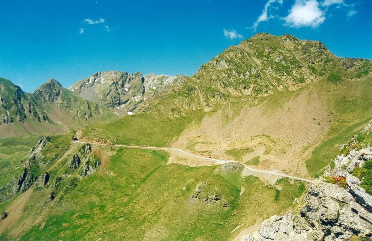
The Tour de France first crossed the Tourmalet on 21 July 1910, on the Luchon to Bayonne stage, and Octave Lapize was first over the top. The race has crossed it more often than any other pass. At the summit you will find a memorial to Jacques Goddet, a former Tour director, and, for part of the year, Le Géant, a large statue of a rider standing on the pedals. From the col, a rough track climbs toward the Pic du Midi de Bigorre observatory; it is dirt and gravel to the Col de Laquets and then a steep hiking path, so it is not a road for cars.
Tour de France day and event crowds
On race day, expect road closures, thousands of spectators and very limited parking. Arrive early, bring food and water, and plan to stay put until the road reopens. The race does not use the Tourmalet every year, so book around the published route of that year's Tour, not around the pass's reputation.
Race day phone coverage can be patchy, so keep 1 charged phone with offline maps and agree a meeting point.
- Arrive hours before the riders and walk the last stretch if needed.
- Pack warm layers, rain gear and sun protection.
- Download offline maps before you lose signal.
- Agree a meeting point, since phone coverage can be patchy.
Base towns, logistics and getting there
Sainte-Marie-de-Campan and Barèges are the natural bases on either side, with Luz-Saint-Sauveur at the bottom of the western road. Fill the tank and buy food and water in the valley before you climb.
Your 2 sensible valley bases double as fallback stops, since a shorter valley stop beats pressing on through low visibility.
Mistakes to avoid
Most problems come from poor timing and thin clothing rather than the road itself.
- Underestimating the cold at the summit, even after a warm valley start.
- Starting late and meeting afternoon cloud or traffic.
- Ignoring the road status and arriving at a closed gate.
- Bringing no layers, lights or rain jacket.
- Relying only on phone navigation with no offline map.
- Skipping water and food before a long climb.
Pair it with other mountain passes
If one pass whets your appetite, an Alpine trip is a different region and a separate journey. Our Alpine road-trip route strings many passes together. Cyclists chasing another famous Tour climb can read about the Galibier climb. Drivers wanting extra altitude can look at the high Bonette pass or the Iseran pass.
Should you drive the Tourmalet?
Choose the Tourmalet for a famous Pyrenean crossing, and go early on a clear summer day. Skip it in fog, snow or if narrow mountain roads make you uneasy.
If fog or rain changes your plan
Use a simple two-part decision before committing to the summit: check the Hautes-Pyrénées road status, then assess visibility from the valley. A clear forecast is less useful if low cloud already hides the higher slopes. If either of those 2 checks is unfavourable, postpone the crossing rather than driving into fog or starting a long ride.
Sainte-Marie-de-Campan and Barèges are the 2 sensible valley bases for changing plans. Stay low, refuel, buy food and water, or wait for conditions to improve. Drivers should avoid treating the pass as a quick detour when visibility is poor. Cyclists should keep 1 charged phone with offline maps, plus layers and rain protection, before leaving either village.
Do not rely on summit conditions matching the valley. Cold wind and cloud can arrive quickly higher up, especially later in the day. A shorter valley stop is a better fallback than pressing on through a closed gate or low visibility.
Road-rule changes worth knowing
Optional updates to our guides.
You might also like

Continue reading
More guides you'll find useful