
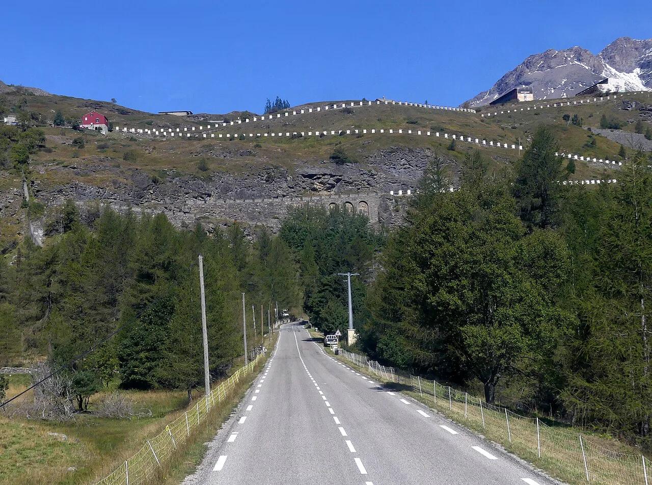
Col du Mont Cenis: Opening, Route and Planning Guide
Plan the Col du Mont Cenis: when the pass opens, how to cycle or drive it from Modane, ski touring in winter, and what to check first.
On this page
Last updated November 2026: the Col du Mont Cenis is a high Alpine pass in Savoie that links the Maurienne valley in France with the Susa valley in Piedmont, Italy. It tops out at about 2,080 m, and the road is seasonal, so snow decides when you can cross. Use this guide to choose between cycling, driving and winter ski touring, and to learn where to check status first.
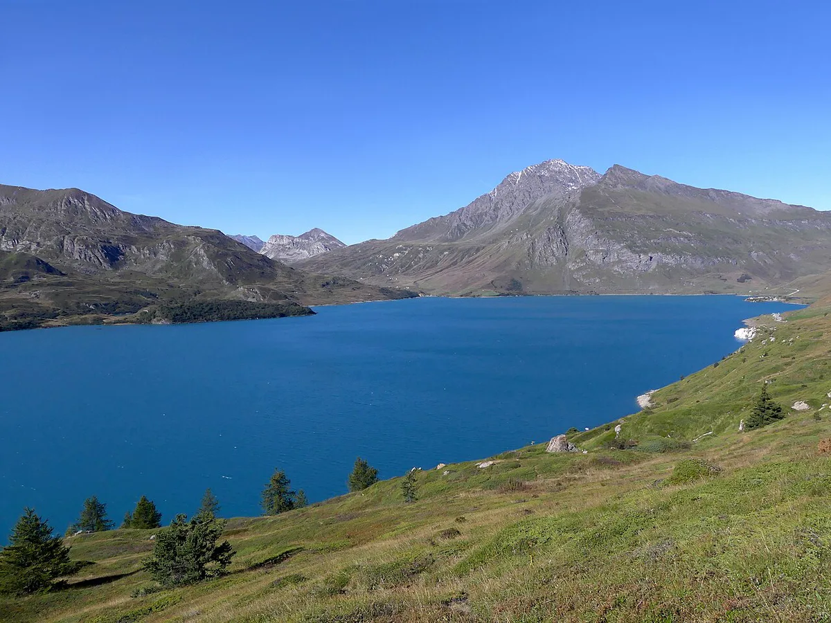
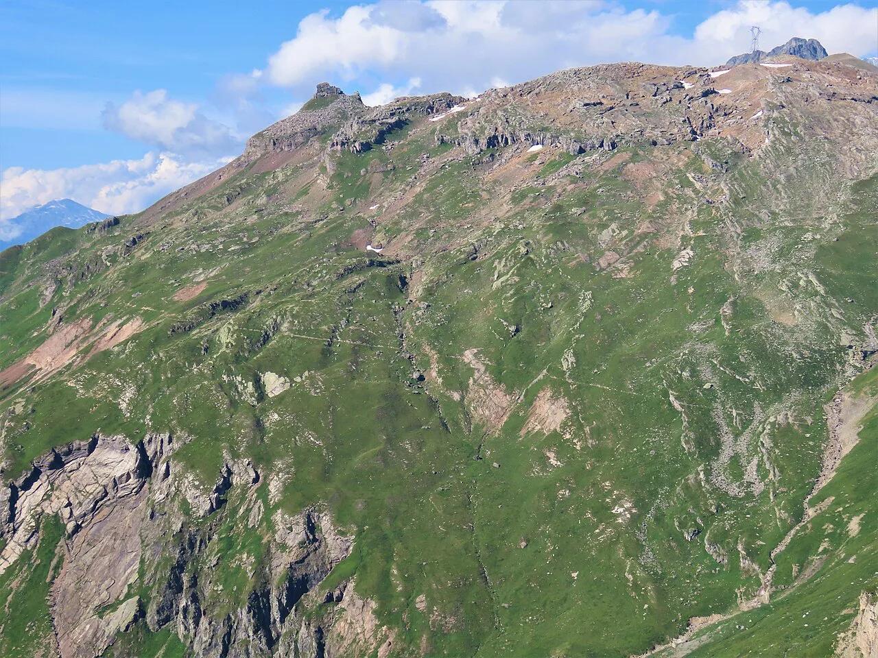
Featured image: Florian Pépellin, CC BY-SA 4.0, via Wikimedia Commons.
Col du Mont Cenis at a glance
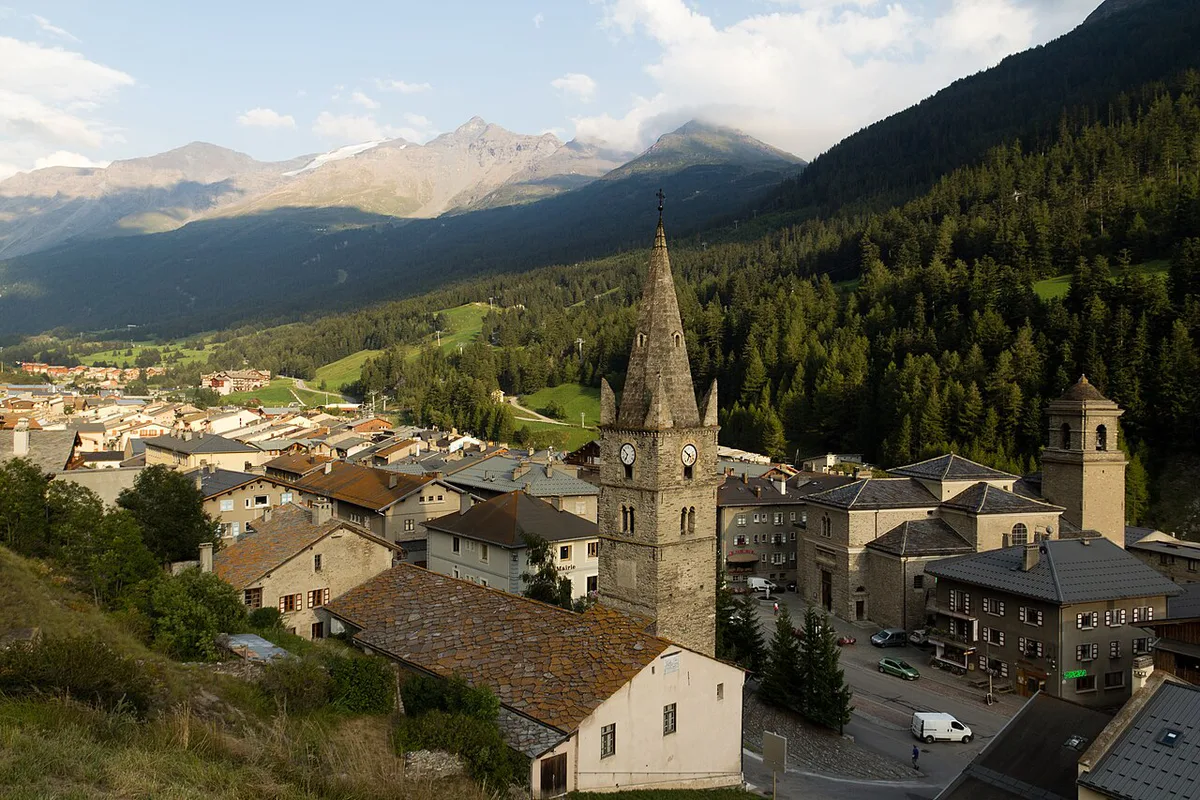
Col du Mont Cenis sits above Lanslebourg-Mont-Cenis, in the Val-Cenis commune of Haute-Maurienne. Sources give its height as 2,081 m, 2,083 m or 2,085 m. Write "about 2,080 m" and expect road signs to differ by a few metres. Status changes with snow, so a pass that is open in July can be closed for vehicles by winter.
- Location: Savoie, between the Maurienne valley (France) and the Susa valley (Piedmont, Italy)
- Height: about 2,080 m
- Base villages: Lanslebourg-Mont-Cenis and Val-Cenis on the French side
- Road season: variable, closed to vehicles in winter
- Winter use: a marked ski-touring route from Val-Cenis
When the Col du Mont Cenis is open and how to check
Snow clearing starts in spring, and the opening date moves from year to year. In 2022 crews worked from mid-April, and the road reopened on 29 April at 10:30 a.m. The initial target had been mid-May. Treat that as an example of variability, not a schedule. For live French road information, use Bison Futé traffic updates. Then ask the Haute-Maurienne tourist office on the morning you travel. Winter has its own calendar for skiers, covered below.
- Mistake: leaving the valley without checking status that morning
- Mistake: packing no warm layers for a pass at about 2,080 m
- Mistake: braking hard on a long descent instead of pacing it
- Mistake: ski touring without an avalanche transceiver, shovel and probe
Getting there: the route from Modane
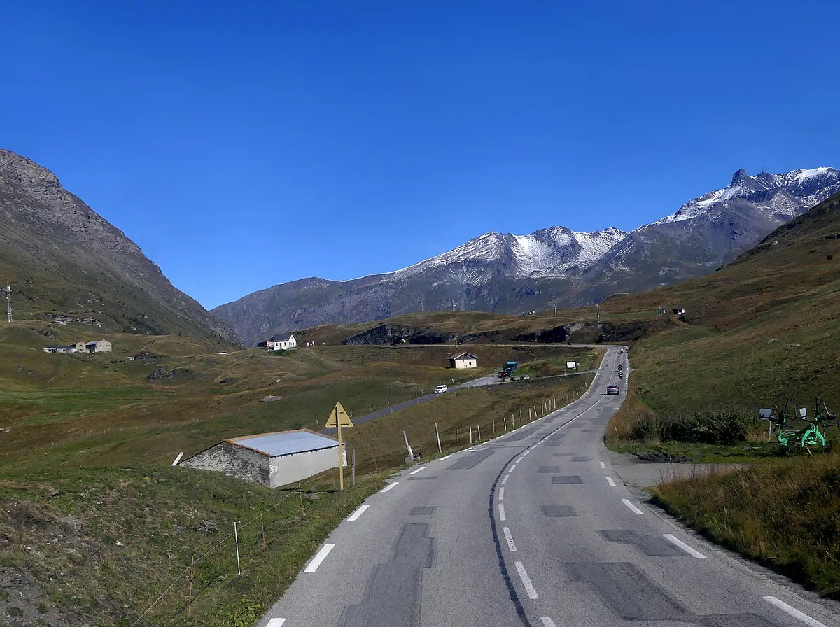
The measured road route from Modane runs 34.4 km and climbs 1,163 m. It reaches a maximum of 2,083 m and includes 135 m of descent along the way. You pass through Lanslebourg-Mont-Cenis before the final climb to the pass. Beyond the summit, the road drops toward Susa in Piedmont, so you cross the France–Italy border. Carry a passport or national ID card. Fill fuel tanks and water bottles in the valley rather than counting on services at the top.
Cycling the Col du Mont Cenis
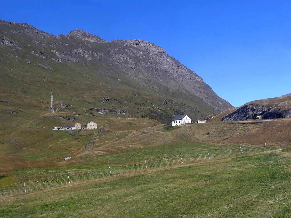
Road cyclists are the pass's strongest audience. Climbing 1,163 m over 34.4 km from Modane suits riders with a few long Alpine days behind them. An out-and-back ride roughly doubles the distance. A one-way crossing into Italy needs a plan for the return. Start early, because afternoon weather at about 2,080 m can turn cold and windy. On the descent, brake in short bursts and watch for ice patches and loose gravel. For a comparison, try Col du Galibier: Opening Dates, Routes & Planning Guide. Another option is Col de la Madeleine: North vs South Side, Season & Route Guide. Both are climbs from the same wider Alpine region.
Driving or riding a motorbike over the pass
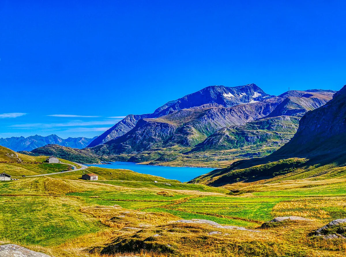
Drivers and riders get the same 34.4 km approach from Modane, with Lanslebourg-Mont-Cenis as the last village before the climb. Check status first, because a closed gate means a long detour back down the valley. Allow time for the border crossing and photo stops at the summit. Lac du Mont-Cenis, at about 1,974 m, is the easiest stop for a break. Descents are tight, so keep engine braking in play. Weather can change quickly at about 2,080 m, so carry a jacket even in summer.
- Check: road status on the morning you drive
- Carry: passport or national ID card
- Fill: fuel tank and water before leaving the valley
- Pack: layers, even in summer
Winter: ski touring the Col du Mont Cenis from Val-Cenis
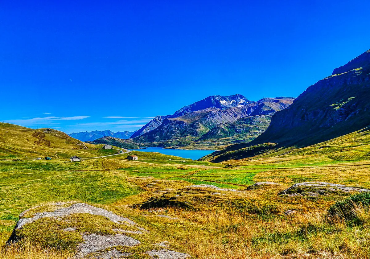
A signed ski-touring route climbs from Val-Cenis to the pass in winter. It starts at the La Ramasse snow front at about 1,400 m. It finishes at 2,083 m, a gain of 683 m, and takes about 2 hours. Follow the orange markers and milestones. Access is free. Listed opening runs daily from 9 am to 5 pm, from 19 December 2026 to 9 April 2027, subject to snow conditions. Haute Maurienne Vanoise Tourisme updated those details on 6 November 2026. You must carry an avalanche transceiver (DVA), a shovel and a probe. Descend by the red La Ramasse trail or the green L'Escargot trail. Skip this route if you lack the kit or avalanche training, or if your dates cannot move with the snow.
Ski tourers climb 683 m, less than the 1,163 m road climb from Modane, so winter suits a shorter outing.
What to see at the top
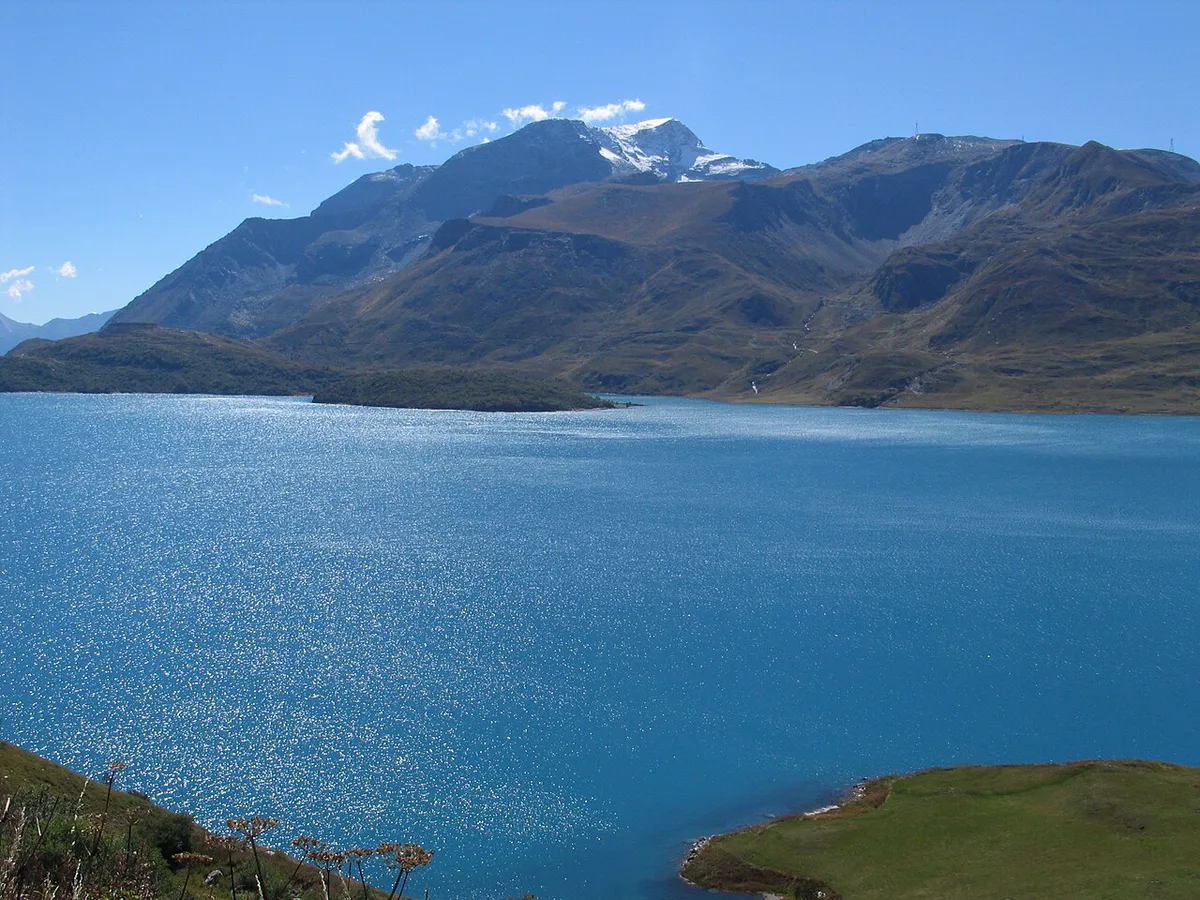
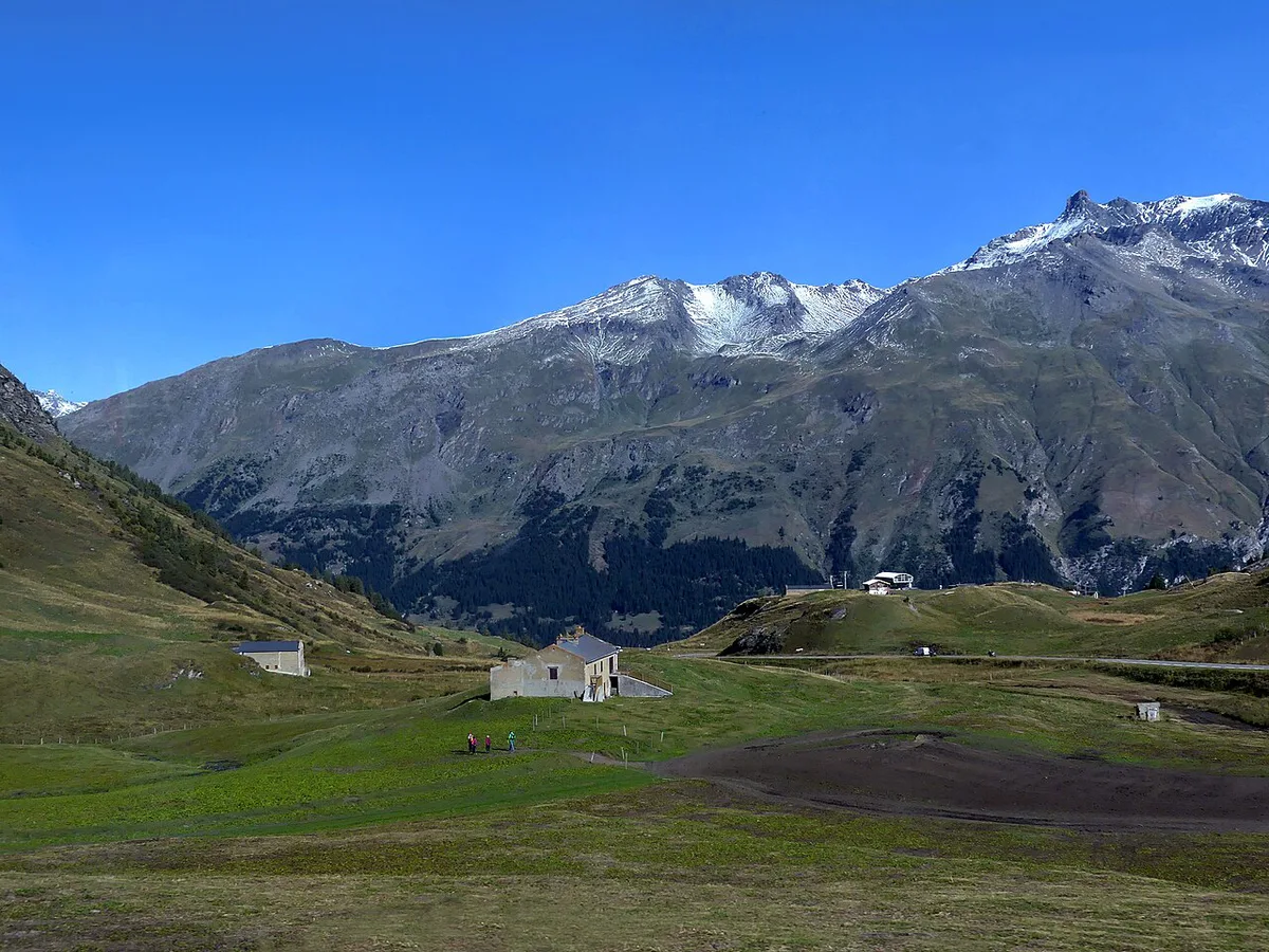
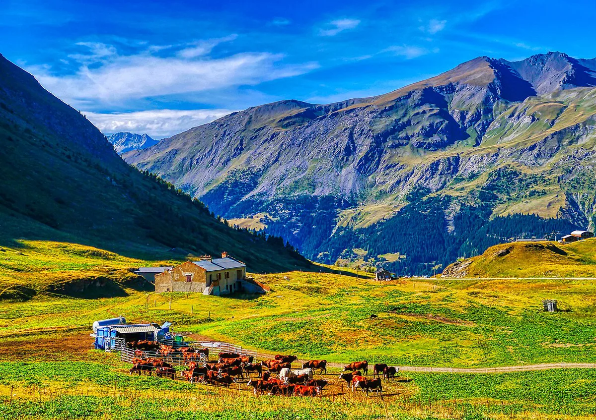
Lac du Mont-Cenis lies at about 1,974 m in the Val-Cenis commune, near the pass summit. It is the main stop for a break, with open mountain views. Mont Cenis was a long-used crossing between Savoie and Piedmont, and the frontier landscape gives context to the climb. Bring a layer even in summer, because wind off the water can feel cold.
Where to base yourself
Lanslebourg-Mont-Cenis puts you closest to the pass and next to the La Ramasse snow front used by ski tourers. Val-Cenis, the commune that includes it, suits a winter stay. Modane is the start of the 34.4 km measured road route, which adds distance before the climb begins. Choose Lanslebourg-Mont-Cenis for short mornings and Modane if you want the full 1,163 m of gain.
Choose your plan
Match the plan to your season and tolerance for uncertainty. The table compares the four common ways to do the pass.
| Plan | Season | Effort | Time | Cost | Main risk |
|---|---|---|---|---|---|
| Road cycling from Modane | Open-road season | High: 1,163 m gain | Long day | Free | Cold descent, ice |
| Driving or motorbiking | Open-road season | Low | Half day plus border | Fuel only | Closure on the day |
| Ski touring from Val-Cenis | 19 Dec 2026 to 9 Apr 2027 | Medium: 683 m gain, about 2h | Half day | Free access | Avalanche, snow |
| Cross-border day to Susa | Open-road season | Medium | Full day | Fuel or bike only | ID and return plan |
Combining it with other Alpine passes
Col du Mont Cenis works as its own day or as a side trip from a longer route. For a multi-pass plan, start with the Route des Grandes Alpes: 7 Passes, Days, Best Time. The official route site lists its stages. Other Maurienne climbs include Col de l'Iseran. Another is Col de la Croix de Fer: Routes, Season & Driving Guide. For a different France–Italy crossing, compare the Little St Bernard Pass: Driving the Col du Petit-Saint-Bernard.
Frequently Asked Questions
What is there to do in Val Cenis?
In winter, you can ski tour the free signed route from La Ramasse to the Col du Mont Cenis. In the open-road season, you can cycle or drive the pass from Modane. At the top, Lac du Mont-Cenis at about 1,974 m is the easiest stop.
Road-rule changes worth knowing
Optional updates to our guides.
You might also like

Continue reading
More guides you'll find useful