
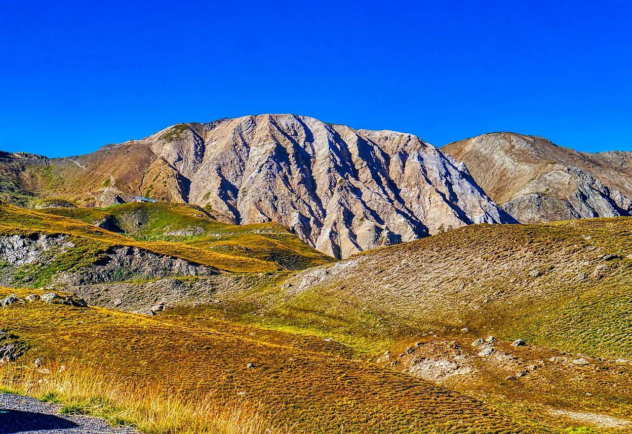
Col du Galibier: Opening Dates, Routes & Planning Guide
Plan the Col du Galibier: height, when it opens, north vs south approaches, cycling and driving tips, and the nearby Alpine passes to pair it with.
On this page
Last updated November 2026: the Col du Galibier is a high Alpine pass linking Savoie and Hautes-Alpes, with a summit at 2,642 m (about 8,668 ft). It runs between the Maurienne valley, reached via Valloire and the Col du Télégraphe, and the Col du Lautaret near Briançon. Cyclists, drivers and riders on the Alps road-trip route all cross it.
Featured image: Zairon, CC BY-SA 4.0, via Wikimedia Commons.
Col du Galibier at a Glance
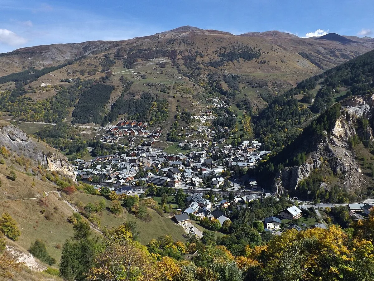
Summit height is 2,642 m, or about 8,668 ft. You will also see 2,645 m, the figure the Tour de France used while the summit tunnel was closed from 1976 to 2002. The road is the D902 on both sides. Valloire sits on the Savoie side, and the road continues toward the Col du Lautaret on the Hautes-Alpes side. Route planners can find the full itinerary on the official Route des Grandes Alpes site.
- Location: between Valloire (Savoie) and the Col du Lautaret near Briançon (Hautes-Alpes)
- Summit altitude: 2,642 m (about 8,668 ft)
- Usual season: late May or early June to October; closed in winter
- Climb from Valloire: 18.1 km (about 11.2 miles), 6.9% average
- Climb from the Col du Lautaret: 8.5 km (about 5.3 miles), 6.9% average
- Cost: none, since this is a free public road
When Is the Col du Galibier Open?
The road usually opens in late May or early June, once snow clearance is finished, and closes in October depending on the weather, according to French Wikipedia's Galibier article. Its infobox puts the winter closure at mid-October to late May. Actual dates change every year, and snow can linger at 2,642 m well after the valley roads are clear. The Hautes-Alpes department posts pass status on its Info Route 05 road information site. Savoie's departmental road service covers the northern side, so look there as well. National traffic updates are on Bison Futé. If the road is shut, switch to a lower pass such as the Lautaret road, which sits at 2,057 m, and read its status on the same Info Route 05 page.
- Do not rely on an early-June opening for a fixed trip date
- Read the status on the morning you travel, not the week before
- Carry a lower-altitude fallback route
North or South Approach?
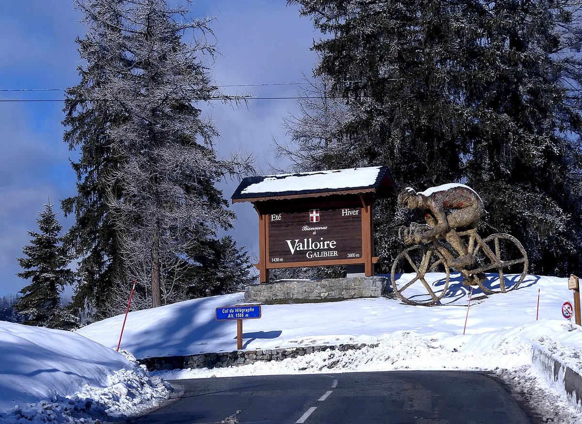
North means starting from Valloire or Saint-Michel-de-Maurienne and crossing the Col du Télégraphe first. South means starting from Briançon and climbing through the Lautaret pass approach before the final ramps. Cyclists who want the full effort usually choose the north. From Saint-Michel-de-Maurienne the Télégraphe climbs 11.8 km at about 7.2% to 1,566 m, the road drops 4.7 km into Valloire, and the Galibier proper then climbs 18.1 km, about 35 km (22 miles) in all. The south side is shorter from the top of the Lautaret, but the Lautaret itself is a long, fairly rolling approach from Briançon or Le Bourg-d'Oisans. Drivers should simply follow their route direction, as both sides reach the same summit.
| Approach | Start | Character | Best for |
|---|---|---|---|
| North | Valloire or Saint-Michel-de-Maurienne | Télégraphe first, then a long climb to the summit | Cyclists seeking the classic double |
| South | Briançon | Lautaret first, then the final climb | Drivers and riders linking the Alps route |
| Partial ride | Valloire | Galibier only, 18.1 km | Riders saving energy for other passes |
Riding the Galibier by Bike
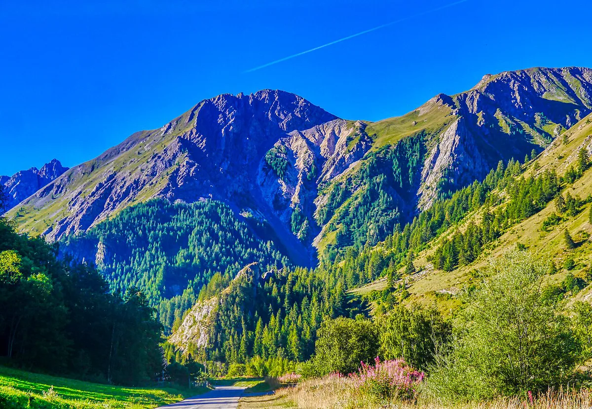
From Valloire, the climb measures 18.1 km (about 11.2 miles) with 1,245 m (about 4,085 ft) of ascent, at an average of 6.9% and a maximum of 10.1% near the summit, per Wikipedia. The first half follows the Valloirette stream and is the easier part. The hard part starts at Plan Lachat (1,986 m), marked by a small bridge: from there the last 7.85 km average about 8.35%. Most riders tackle it right after the Col du Télégraphe, which makes the last kilometers above 2,400 m especially hard. Bicycles cannot use the summit tunnel, so riders always go over the top. Summit temperatures can approach freezing even in August, so carry warm layers for the descent.
Driving or Motorbiking the Galibier
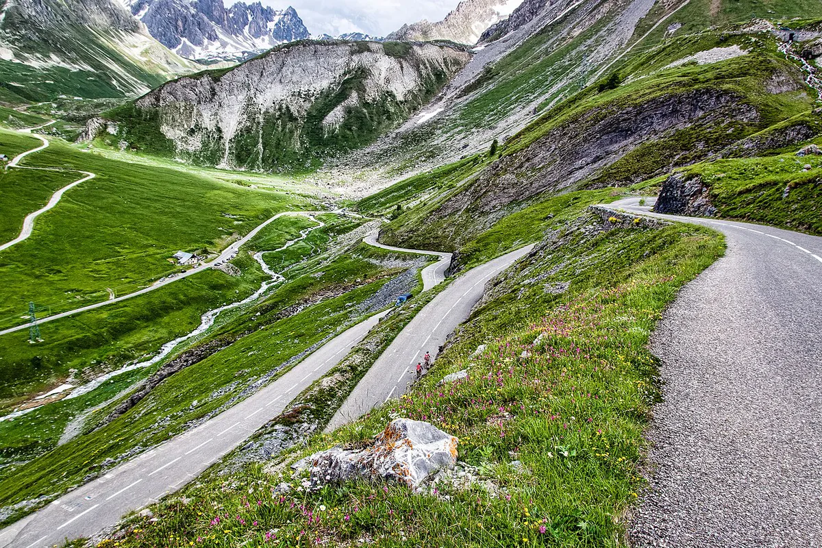
Cars and motorbikes use the same pass road as cyclists, and there is no toll on this public route. Plan the crossing between June and early October, since snow closes the pass in winter and the closing date depends on the first heavy snowfall. Drivers coming from Valloire pass over the Col du Télégraphe first. Stop at the summit for the views, then descend with care and in a low gear to spare your brakes. Our Alps route stage guide shows where the Galibier sits among the other passes.
Summit road or tunnel?
Near the top, drivers have a choice. A short road tunnel runs about 100 m below the col, at roughly 2,556 m, and saves the last ramps to the summit. It dates from 1891, is about 4 m wide and only takes one direction at a time, with traffic lights controlling the single lane since it reopened to cars in 2002. Bicycles are not allowed in it. The open road over the col is the one to take for the view and the summit stop, and it is the only option for cyclists.
- Take the tunnel in poor visibility, high wind or when the summit car park is full.
- Take the summit road on a clear day, and expect cyclists on every hairpin.
- Wait at the red light: oncoming traffic has the whole tunnel until it turns green.
- The Henri Desgrange monument stands beside the road at the tunnel's south portal, on the Lautaret side, and has been there since 1949.
Galibier climb profiles compared
These figures come from the English and French Wikipedia articles on the Galibier and the Col du Télégraphe. Gradients are averages, so expect steeper pitches inside each climb.
| Start | Distance to the col | Average gradient | Notes |
|---|---|---|---|
| Saint-Michel-de-Maurienne (via Télégraphe and Valloire) | About 35 km | About 6.9% on the climbing sections | Includes a 4.7 km drop from the Télégraphe into Valloire |
| Valloire | 18.1 km | 6.9% | 1,245 m of ascent; last 7.85 km from Plan Lachat average about 8.35% |
| Col du Lautaret (2,057 m) | 8.5 km | 6.9% | 585 m of ascent; 12.1% maximum near the summit |
Where to Base Yourself
Valloire is the usual base on the northern slope. Saint-Michel-de-Maurienne sits below the Télégraphe and suits riders who want the full Télégraphe-plus-Galibier effort. Briançon is the base for the south side. Summit parking and refreshment options change by season, so ask the tourist offices in Valloire or Briançon.
What to Pack and Mistakes to Avoid
Pack for winter at the top, even in summer. A windproof jacket, gloves and a warm layer for the descent matter more than extra gear.
Warm layers matter at 2,642 m, since the summit can approach freezing in August while valley roads may already be clear.
- Underestimating cold and altitude at 2,642 m
- Setting off without enough water and food for the steep final 7.85 km after Plan Lachat
- Descending without warm layers
- Counting on an early-June opening
- Stacking several passes in one day without allowing for fatigue
Galibier and the Neighbouring Passes
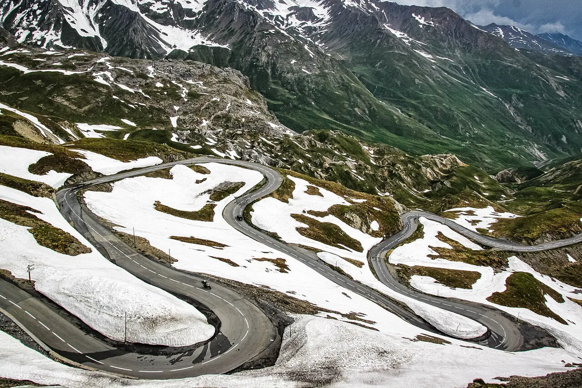
The Madeleine climb and the Croix de Fer both have approaches from the Maurienne valley, the same valley as the Télégraphe. Glandon is another Maurienne-area neighbour. Izoard lies south of Briançon, a natural next pass after a southern descent. Iseran is another high Alpine pass that deserves its own day. Allow a separate day for the Bonette as well. Travelers continuing along the Alps can add the Mont Cenis crossing. Another option is the Little St Bernard crossing. For a Pyrenean comparison, the Tourmalet also features in Tour history. Allow for fatigue when stacking several passes in one day.
Briançon sits at the foot of both the Lautaret approach and the Izoard, so it works as a base for a two-pass day from the south.
A Short History: Tour de France and Desgrange
The Tour first used the Galibier in 1911, when Émile Georget was first over the summit. A monument to Henri Desgrange, the Tour's founder, was unveiled at the south portal of the tunnel on 19 July 1949. In 2011, stage 18 finished at the col, the highest finish in the race's history, and Andy Schleck won it after a solo attack of about 60 km. The Tour came back in 2024, when stage 4 from Pinerolo crossed the Galibier before descending to Valloire and Tadej Pogačar won.
Road-rule changes worth knowing
Optional updates to our guides.
You might also like

Continue reading
More guides you'll find useful