
Col de la Bonette: Season, Climb Stats and Which Side
Plan the Col de la Bonette: opening season, which side to approach from, climb details, gravel options and what to pack for a 2,800 m pass.
On this page
Last updated November 2026. The Col de la Bonette is a high Alpine pass in the Mercantour area, linking the Ubaye valley at Jausiers with the Tinée valley and Saint-Étienne-de-Tinée. Provence-Alpes-Côte d'Azur tourism calls it France's highest paved road at 2,802 m, and access is free. Snow closes it in winter, so check the road status before you set out.
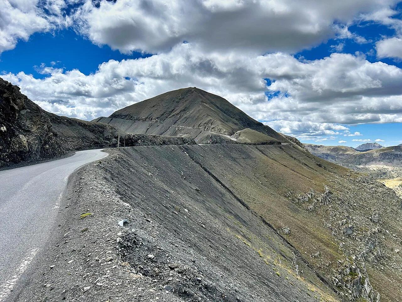
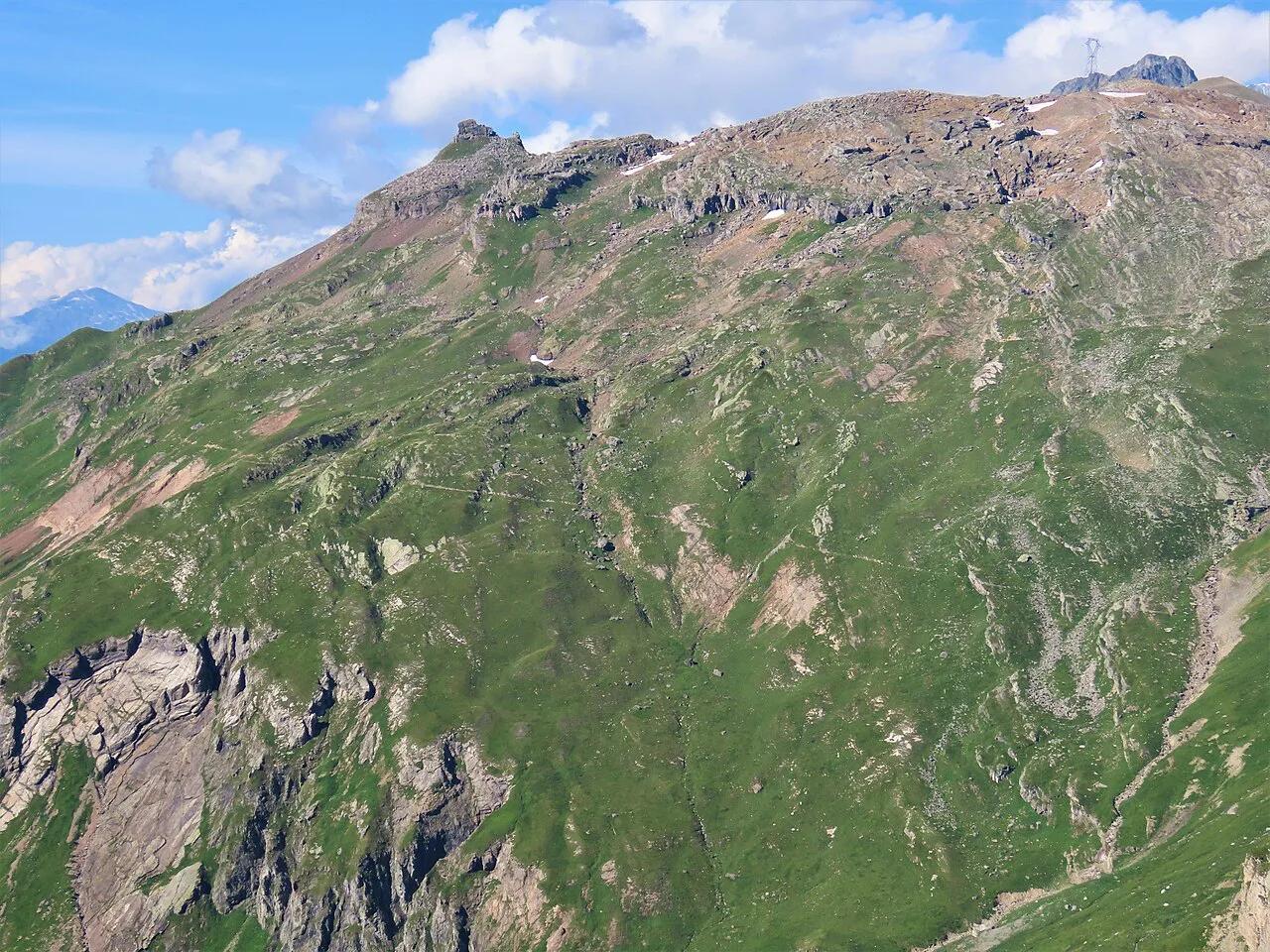
Featured image: Olgierd Rudak, CC BY-SA 4.0, via Wikimedia Commons.
Col de la Bonette at a glance
Provence-Alpes-Côte d'Azur tourism lists the summit at 2,802 m (about 9,190 ft) and describes a road that links the Ubaye and Tinée valleys inside the Mercantour National Park. It gives the cycling climb as 32 km but does not name the start point. Other published figures differ by start town, so treat any distance as approximate until you pick your own base. Jausiers (postcode 04850) is the usual address for the Ubaye side. Tourism listings give access as free, with no toll or ticket.
| Fact | What to know |
|---|---|
| Location | Between Jausiers (Ubaye valley) and Saint-Étienne-de-Tinée (Tinée valley) |
| Summit altitude | 2,802 m per the regional tourism board; some sources quote a lower figure for the col itself |
| Climb length | 32 km per the tourism board; start point not stated, so treat as approximate |
| Final stretch | Tourism board describes a 14% gradient on the Tour de la Bonette loop at the top |
| Access cost | Free |
| Season | Closed by snow in winter; check current road status |
When the Col de la Bonette is open and the best time to go
No fixed calendar dates apply here, because snow decides when the road opens and closes. The summit sits at roughly 2,800 m, so cold, wind and snow can arrive in any month. Thunderstorms build in the afternoon, which makes early starts the safer habit. For live status, use the Alpes-Maritimes department for the Tinée side, and the Bison Futé traffic service for national road information. A closed road means a long detour by valley roads, so keep a backup plan.
| Period | What to expect |
|---|---|
| Winter | Closed by snow; do not plan a crossing |
| Late spring | Opening depends on snow clearance; patches of ice may remain at the top |
| Summer | Most reliable window; start early to avoid afternoon storms |
| Early autumn | Often clear and quiet, but nights are cold and a first snowfall can close the road |
Which side to approach from
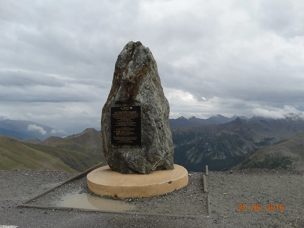
Both approaches reach the same summit, so the choice comes down to your base and your priorities. Jausiers and Barcelonnette sit on the Ubaye side, and Saint-Étienne-de-Tinée anchors the Tinée side. Published climb lengths vary by start town, so compare routes from your own base rather than trusting one number. Pick the side that matches where you sleep, then plan the descent into the other valley as a one-way crossing or a return trip.
| Factor | Jausiers / Ubaye side | Saint-Étienne-de-Tinée side |
|---|---|---|
| Base towns | Jausiers, Barcelonnette | Saint-Étienne-de-Tinée |
| Approach to the summit | Leads toward the Mercantour core and the Cime loop | Climbs the Tinée valley toward the same high ring |
| Services | Larger choice of lodging in the Barcelonnette area | Smaller village; plan supplies in advance |
| Best for | Riders coming from the Route des Grandes Alpes | Riders and drivers heading to or from the Nice side |
Cycling the Col de la Bonette
Tourism listings describe the climb as long, intense and selective, with a 14% gradient on the Tour de la Bonette loop near the top. The tourism board puts the full ascent at 32 km, so pace the lower slopes and save energy for the final kilometres. The road surface is smooth asphalt, and the last stretch crosses bare mineral terrain above the trees. Pack layers, because temperatures drop sharply at altitude. Carry water and food from the valley, since no source confirms services on the climb. Descend with warm gloves and brakes in good order.
Komoot rates a ride hard past 3,000 ft of climbing or 5 hours, a yardstick to set beside the 32 km tourism figure.
- Base layer, windproof jacket and arm warmers
- Full-finger gloves for the descent
- Sun protection and sunglasses for thin air and bright light
- Water and food for the whole climb
- A charged phone and a paper or offline map, as coverage is uncertain
Driving or riding a motorbike
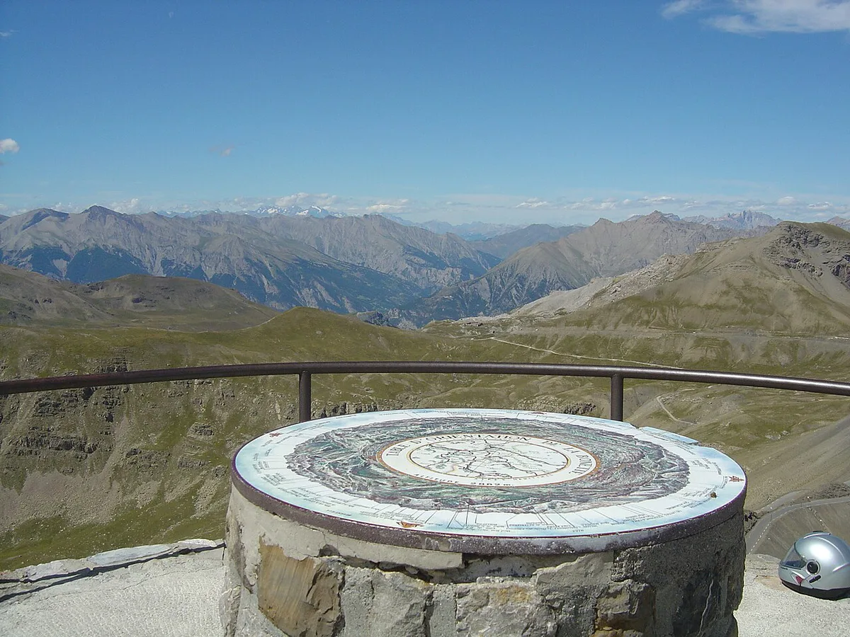
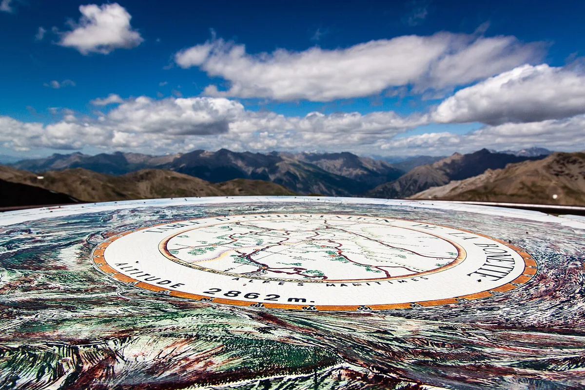
Expect a road of hairpins and long open sections above the tree line. Drive in the morning, when weather is steadier and traffic is lighter. Fuel up in the valley before you start. Restrictions on campervans or trailers are not confirmed here, so check with the road authority before you commit a large vehicle. Pull-offs allow photo stops, but use them with care, since cyclists share the same tarmac. At the top, the orientation table is the obvious place to pause. Motorcyclists should treat cold, wet tarmac as a normal hazard.
Gravel and MTB routes
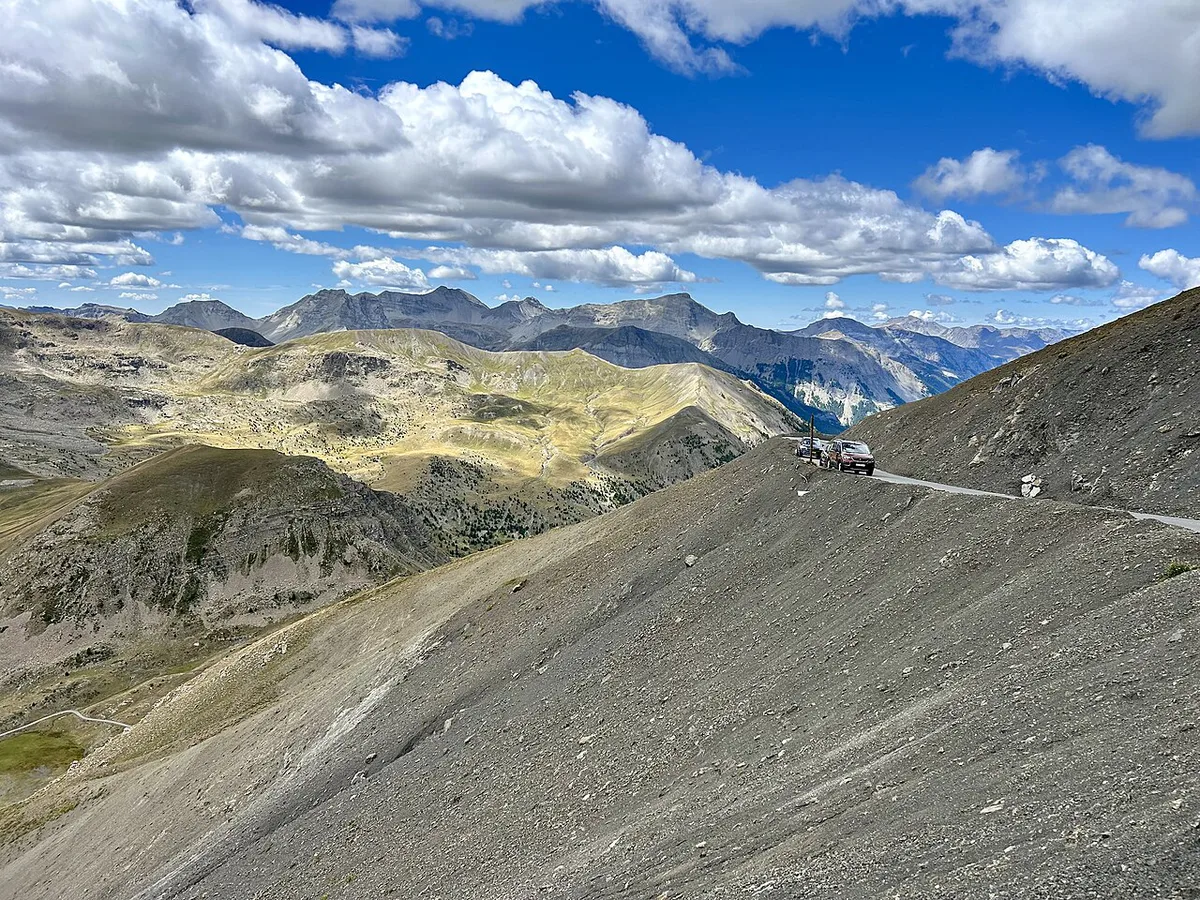
A gravel track gives a quieter alternative to the paved road. Komoot lists several loops, all rated hard. One starts at Saint-Étienne-de-Tinée and passes the Torrent de Vens waterfall, covering 50.2 km in about 4:31 with 1,700 m of climbing. Another loops from the col over the same waterfall route for 39.6 km and 1,400 m. A third leaves Bayasse for the Col de la Moutière and covers 28.8 km with 1,060 m. Treat these as examples of loop types, not fixed plans. Komoot rates a ride as hard when it exceeds 5 hours or 3,000 ft of climbing, and some sections may need pushing. Part of the area lies in the Mercantour core zone, so ask the park authority about local rules on bikes before riding.
What to see at the top and nearby
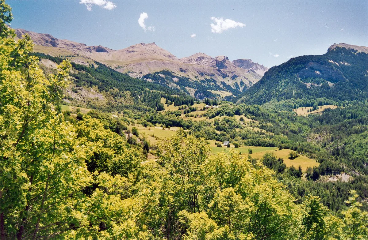
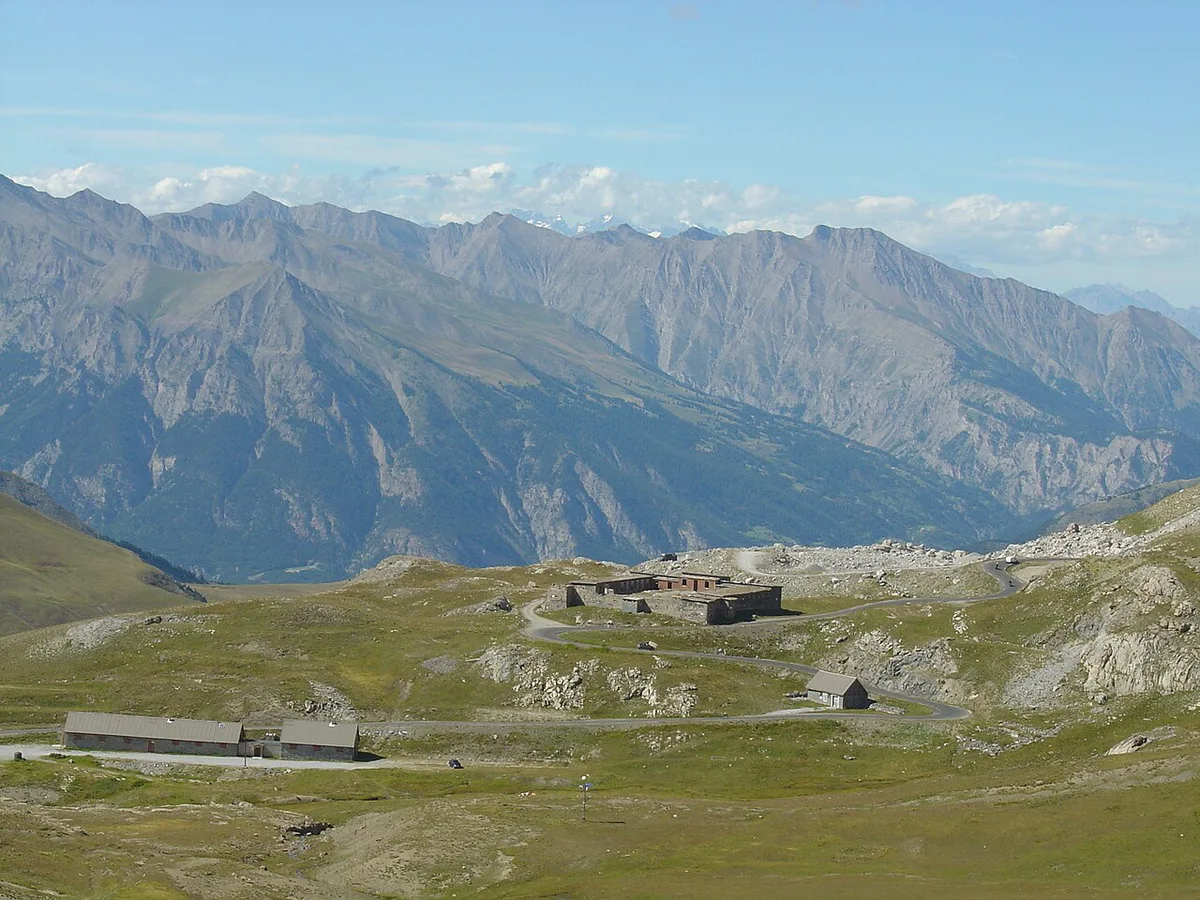
At 2,802 m, the summit gives a wide panorama over the Mercantour valleys, and an orientation table helps you identify the peaks. Along the climb you will pass old military barracks and huts. The tourism board also points to fauna, flora, pastoralism and mountain lakes across the park. Komoot lists the Cime de la Bonette, Col de la Moutière and Lac Supérieur de Morgon among nearby places. The Cime de la Bonette loop is a separate summit ring above the col. Whether the highest-road claim applies to the ring or to the col is worth confirming with the Ubaye tourist office.
Where to stay and how to get there
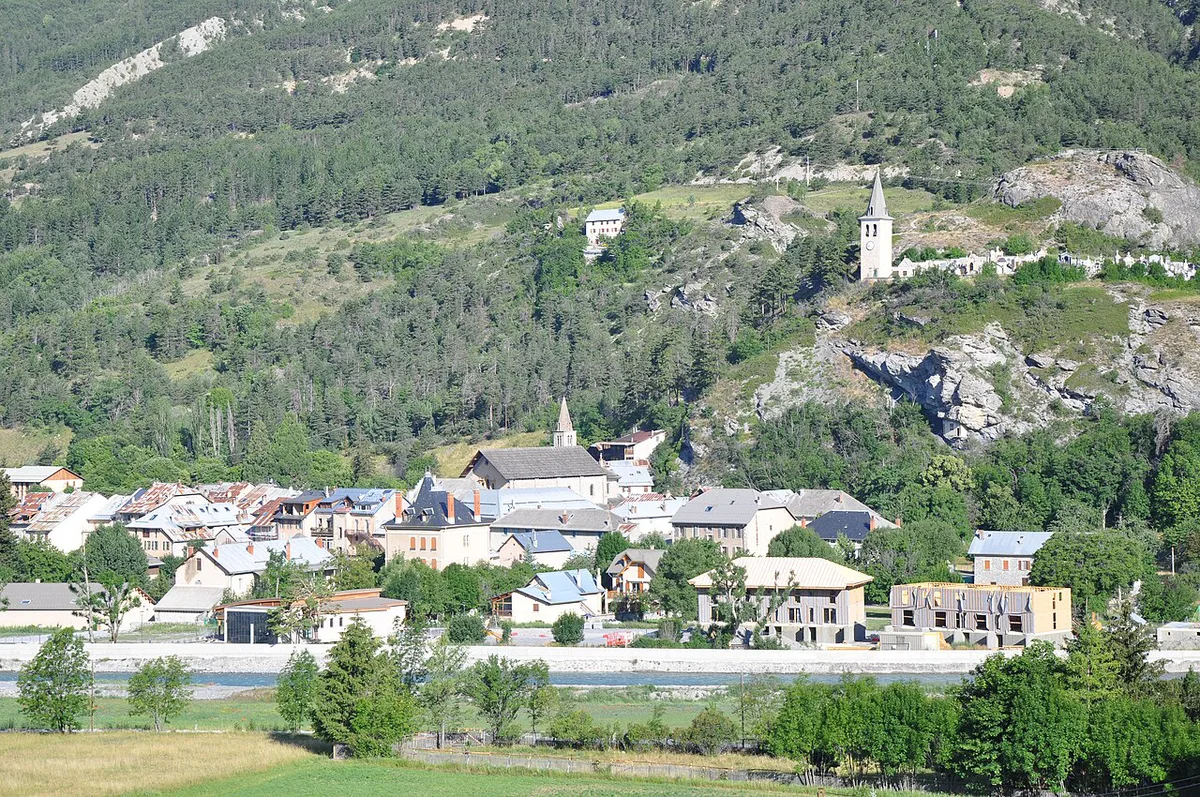
Jausiers and Barcelonnette give the easiest bases on the Ubaye side, and Saint-Étienne-de-Tinée suits the Tinée approach. The tourism board warns that the nearest train station is a long way from Jausiers. Check SNCF and regional bus timetables for the closest station and any onward service. Most visitors arrive by car, either from the Nice side or from the northern Alps. For a time budget, a half day covers a drive with stops, while a full day suits a cyclist riding one way. A two-day plan works if you combine the climb with a gravel loop.
Jausiers (postcode 04850) suits the Ubaye side, and since most visitors arrive by car, the distant train station matters less.
Combining the Bonette with other passes
Cyclists and drivers often fold the Bonette into the Route des Grandes Alpes: 7 Passes, Days, Best Time. The official route site offers background on the full crossing. For a similar high-alpine day, compare the Col de l'Izoard. Riders chasing altitude can pair it with the Col du Galibier: Opening Dates, Routes & Planning Guide. Another option is the Col de l'Iseran. For a long, steady climb, see the Col de la Croix de Fer: Routes, Season & Driving Guide. In the Pyrenees, the Col du Tourmalet Guide: Riding, Driving & Seasonal Access offers a useful cycling comparison.
Mistakes to avoid on the Bonette
These are practical cautions from the route's character rather than sourced claims.
- Setting out without checking whether the road is open
- Underestimating the cold at 2,800 m, even in summer
- Starting in the afternoon, when thunderstorms are most likely
- Assuming food, water or toilets at the top
- Descending with cold hands or worn brakes
Frequently Asked Questions
What is the highest road in France?
Provence-Alpes-Côte d'Azur tourism calls the Col de la Bonette France's highest paved road, at 2,802 m. Some sources quote a lower figure for the col itself, with the higher number belonging to the summit loop.
What are some popular cols in France?
Cyclists and drivers often target the Col du Galibier: Opening Dates, Routes & Planning Guide and the Col de la Bonette. The Col de l'Iseran is another high-alpine favorite.
Road-rule changes worth knowing
Optional updates to our guides.
You might also like

Continue reading
More guides you'll find useful