
Col du Glandon: Route Guide, Seasons and Tips
Plan the Col du Glandon: Maurienne vs Oisans approaches, season and closure timing, cycling and driving logistics, and how it pairs with the Croix de Fer.
On this page
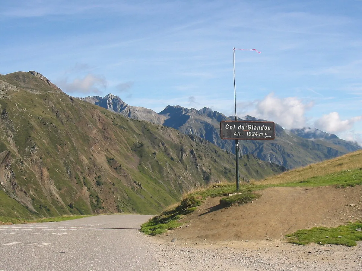
Last updated November 2026: the Col du Glandon rises to 1,924 m (6,312 ft) and links the Maurienne valley in Savoie to the Oisans in Isère. It suits road cyclists, Tour de France fans and drivers building a Grandes Alpes route. Snow closes the road outside summer, so check its status before you set out.
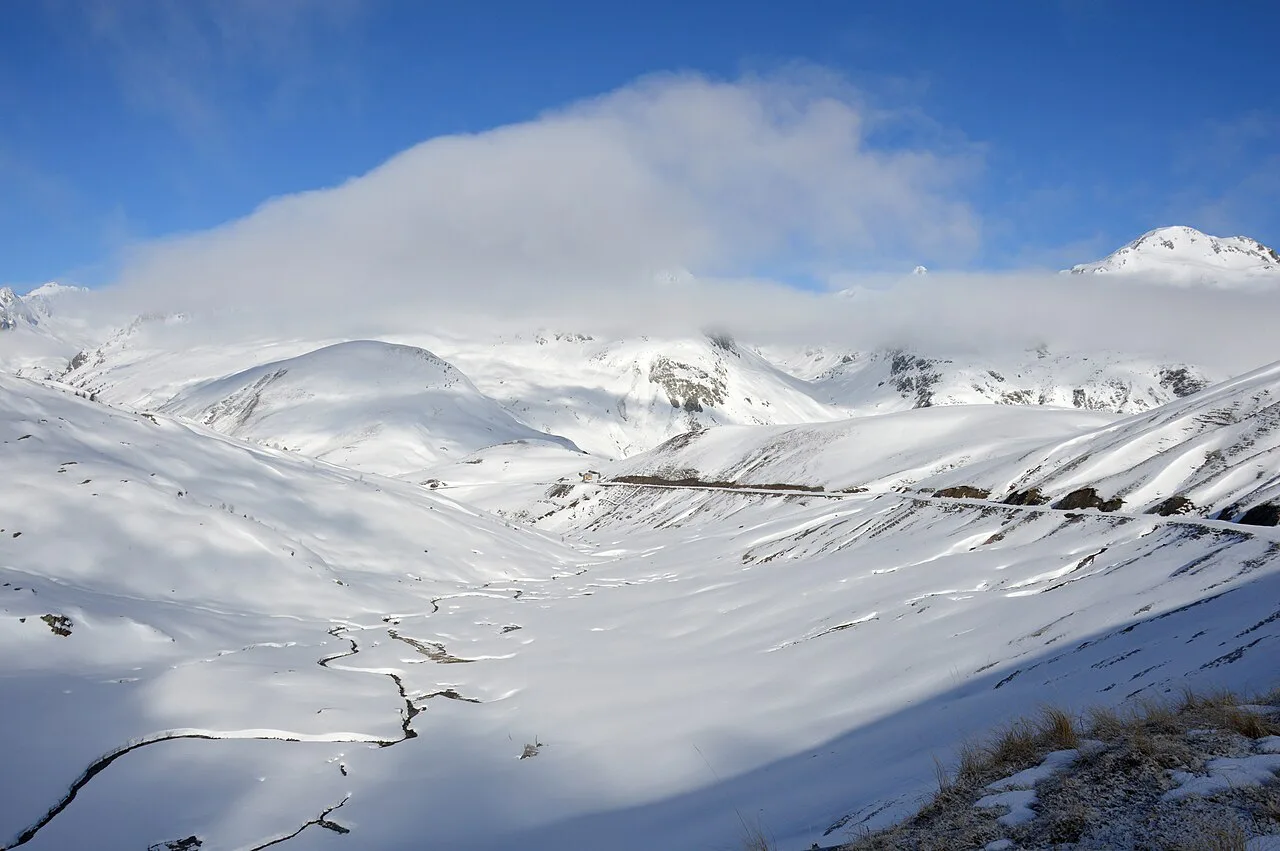
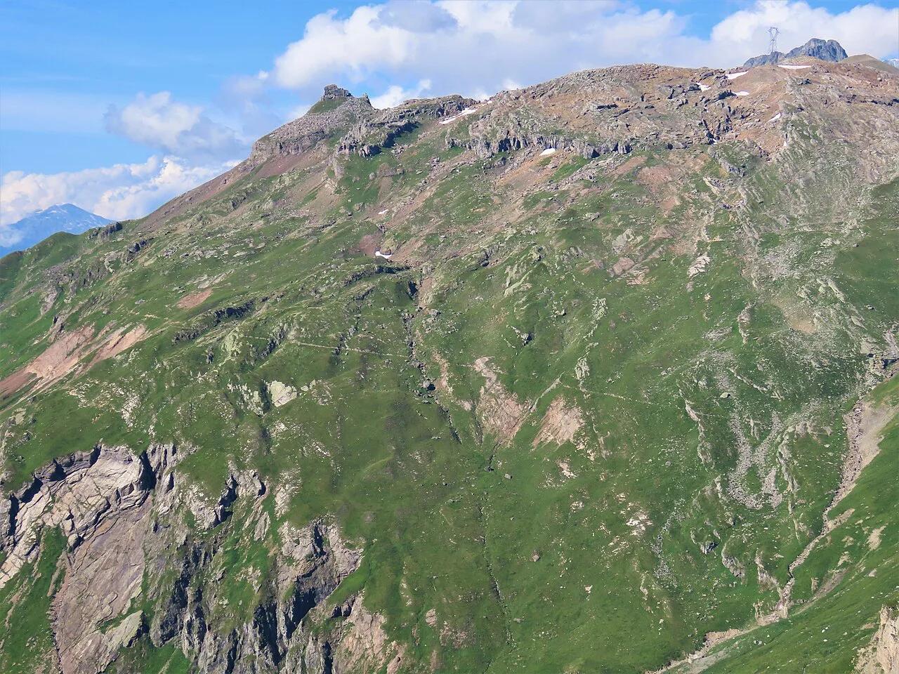
Featured image: DimiTalen, CC0, via Wikimedia Commons.
Col du Glandon at a glance
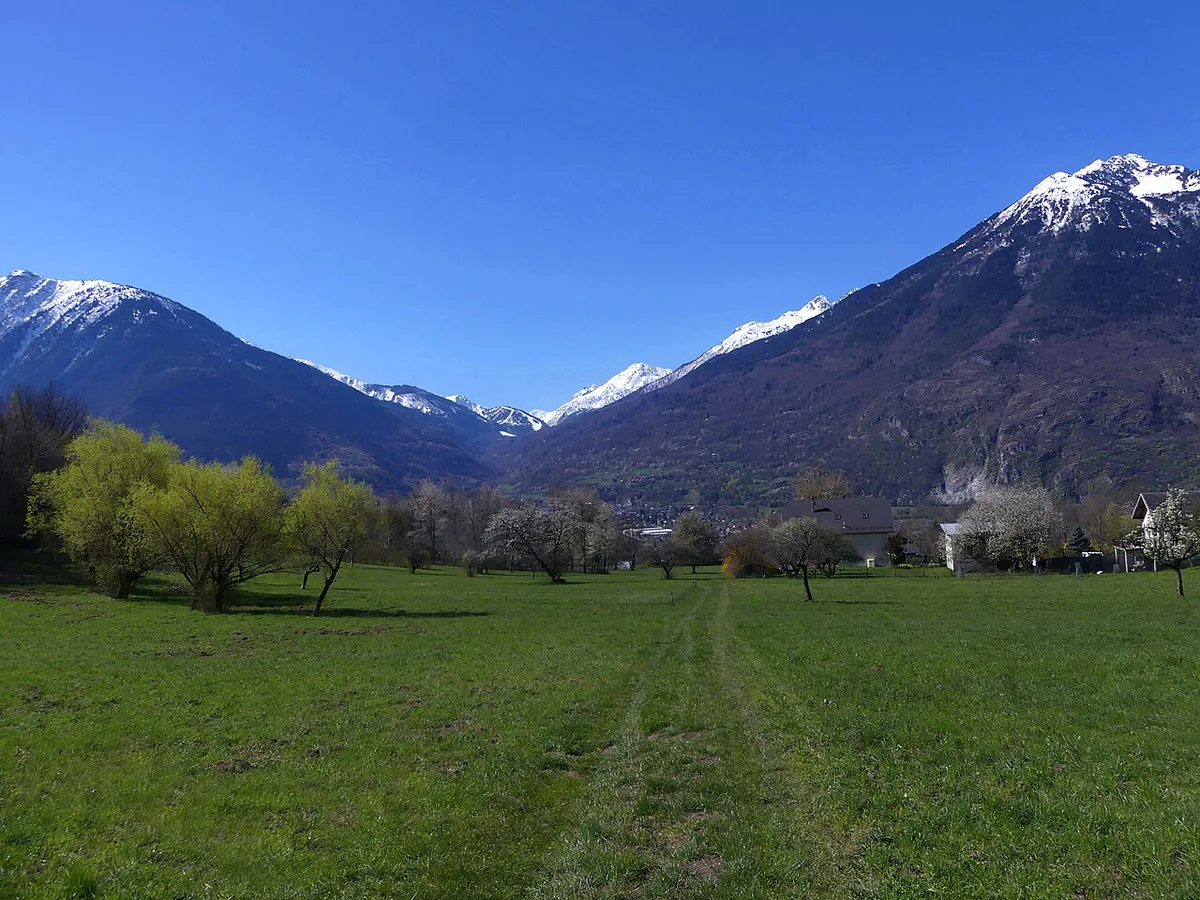
Listings place the pass at 1,924 m, and IGN mapping is the reference if you need an exact figure. Tourist-board text credits the pass with 20 Tour de France passages. The nearest village on the Maurienne side is Saint-Colomban-des-Villards (postcode 73130). Saint-Jean-de-Maurienne is the nearest larger town for supplies. Expect a paved mountain road with no ticket and no opening hours. Only snow decides when you can use it.
| Fact | Detail |
|---|---|
| Altitude | 1,924 m (6,312 ft), as listed |
| Valleys linked | Maurienne (Savoie) and Oisans (Isère) |
| Nearest villages | Saint-Colomban-des-Villards, La Chambre |
| Typical season | Summer; closed by snow in winter |
| Surface | Asphalt on the road climb |
Which side of the Col du Glandon to approach from
Most guides describe the climb from the Maurienne side, so start there if you want a defined route. Two start points circulate, and their figures differ. A route from Sainte-Marie-de-Cuines runs 20.1 km with about 1,450 m of climbing. A rider's tip for the climb from La Chambre gives 21.3 km, 1,472 m of gain, a 6.9% average and a 11% maximum. Always compare figures from the same start point. The Oisans-side approach comes through the Arvan valley and is usually ridden as part of a Croix de Fer loop.
| Start point | Distance | Gain | Character |
|---|---|---|---|
| Sainte-Marie-de-Cuines | 20.1 km | about 1,450 m | Long, irregular, ramps above 10% |
| La Chambre | 21.3 km | 1,472 m | 6.9% average, 11% maximum |
| Arvan valley (Oisans side) | Varies by route | Varies by route | Usually linked with the Croix de Fer |
When the Col du Glandon is open
Tourist listings describe the pass as accessible outside snow periods. That makes it a summer road. Snow can linger into early summer and return in autumn, so shoulder-season dates are a gamble. Check live road status on Bison Futé traffic information before you leave. Mountain weather turns fast at 1,924 m. Pack a windproof layer even on a warm valley morning, because the descent is cold and long. A rainy forecast in the valley often means snow or poor visibility higher up. Closure dates change each year, so no fixed calendar date is reliable.
Cycling the Col du Glandon: difficulty, pacing and logistics
Komoot rates the Maurienne route as hard, a label it gives to any ride over 900 m of climbing. The ascent is long and irregular, with ramps above 10%. Not every kilometre is steep. Near Saint-Colomban-des-Villards, a rider describes a short, nearly flat breather where the road crosses a step in the valley. Pace the first hour gently. A listed ride time of 02:21 for 20.1 km suits strong riders. Treat the table below as editorial estimates, not measured data. Carry two bottles and food, because services on the climb are not guaranteed. For a comparison, Col de la Madeleine: North vs South Side, Season & Route Guide is listed at 19.8 km and 1,530 m.
| Rider level | Estimated climbing time |
|---|---|
| Strong, fit club rider | About 2 to 2.5 hours |
| Regular recreational rider | About 3 to 3.5 hours |
| Occasional climber | About 4 hours or more, with stops |
- Mistake: starting late. Afternoon storms are common on high cols, so begin early.
- Mistake: underestimating the descent. Add layers and brake early.
- Mistake: treating a 15.3 km snowshoe loop as the pass climb. They are different outings.
- Mistake: assuming services at the summit. Carry food and water from the valley.
Driving the Col du Glandon
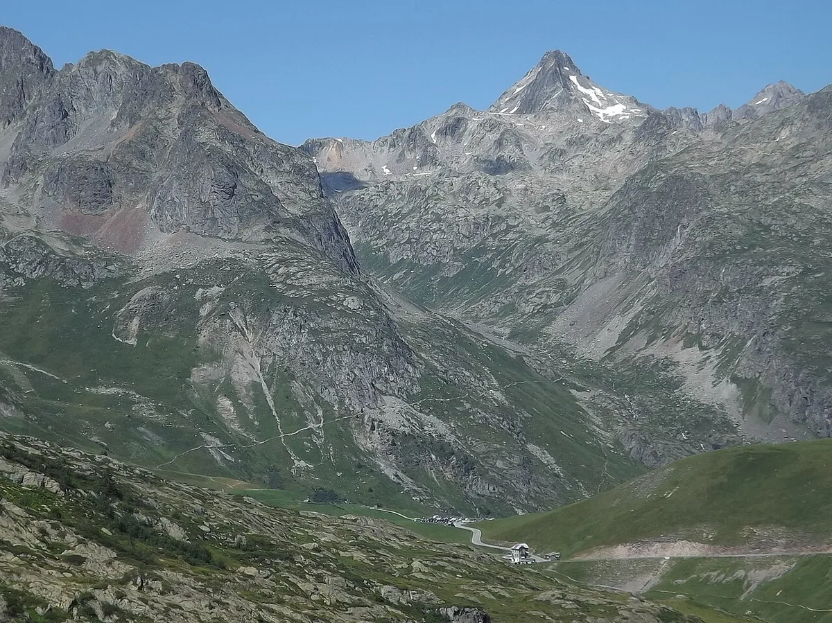
Drivers get a paved mountain road with hairpins and sections that can feel narrow. Large camper vans and nervous drivers should consider skipping it. Fill the tank in Saint-Jean-de-Maurienne before you climb, since fuel on the pass is not assured. The Chalet Col du Glandon marks the famous last bend near the 20.1 km point of the Komoot route. Check whether it is open before counting on food or a drink there. A brief stop at the summit works well as a break between valleys. Descents wear brakes, so use a low gear. A Komoot note flags temporary access restrictions on a route segment, so look at current notices before leaving.
Col du Glandon and Col de la Croix de Fer: one loop or two climbs
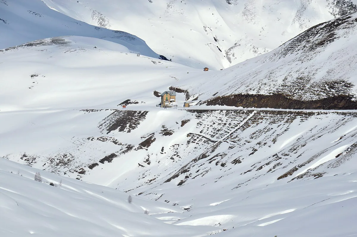
The two passes sit close together on the Arvan valley road, and many riders link them. A Komoot loop called Circuit Glandon / Croix-de-Fer is listed at 62.8 km with about 2,050 m of climbing and a 04:14 ride time. For comparison, a Croix de Fer loop from Saint-Jean-de-Maurienne is listed at 70.4 km and 2,410 m. Choose the Glandon alone for a half-day effort. Choose the loop if you want both summits in one outing. Read our guide to Col de la Croix de Fer: Routes, Season & Driving Guide to plan the second climb.
Hiking and winter options near the Col du Glandon
Walkers and snowshoers start from Saint-Colomban-des-Villards. In summer, an out-and-back hike to Col de la Croix and Lac de Sambuis is listed at 15.9 km with 1,466 m of ascent and a high point of 2,720 m. In winter, a snowshoe loop from Pont de La Chal covers 15.3 km with 754 m of gain, topping out at 1,921 m. That loop is not the road climb. Another snowshoe out-and-back from the same village is listed at 14.8 km and 807 m. Check avalanche and snow conditions locally before any winter outing.
Pont de La Chal's snowshoe loop is a different outing: 754 m of gain, against about 1,450 m on the Sainte-Marie climb.
Where to stay and eat near the Col du Glandon
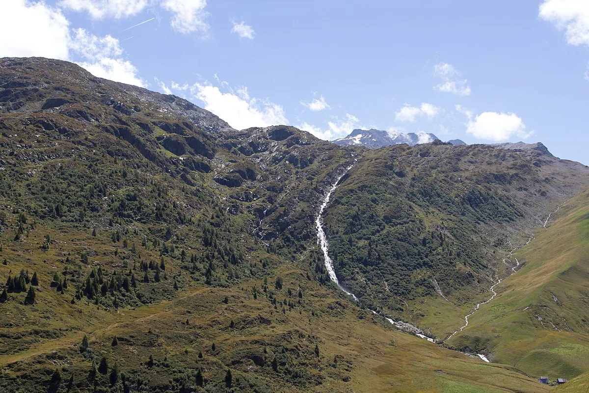
Base yourself in a valley town, not at the summit. Saint-Jean-de-Maurienne has the widest choice, and Hôtel Saint-Georges there is listed in the mid-price (€€) tier. La Chambre suits riders starting the 21.3 km climb. Saint-Colomban-des-Villards suits hikers who want a short drive to trailheads. Book ahead for July and August. Confirm opening for any mountain-side chalet before relying on it.
| Base | Best for |
|---|---|
| Saint-Jean-de-Maurienne | Supplies, hotels, restaurants, cyclists and drivers |
| La Chambre | Cyclists starting the climb |
| Saint-Colomban-des-Villards | Hikers and winter snowshoers |
Fitting the Col du Glandon into a Grandes Alpes itinerary
The Glandon works as a Maurienne detour from the main route. For route planning, see the official Route des Grandes Alpes site. Our overview of the Route des Grandes Alpes: 7 Passes, Days, Best Time shows where it fits. The Maurienne and Oisans corridor continues to Col du Galibier: Opening Dates, Routes & Planning Guide, which a Komoot loop lists at 70.8 km and 2,410 m. Col du Lautaret: Cycling Sides, Road Conditions & More is the neighbouring pass on that corridor. For onward crossings, Col de l'Iseran is the high alternative. Other iconic cols include Col de l'Izoard, Col de la Bonette: Season, Climb Stats and Which Side and Col du Tourmalet Guide: Riding, Driving & Seasonal Access.
Galibier loops are longer: a Komoot loop lists at 70.8 km and 2,410 m, against 62.8 km for the Glandon and Croix de Fer.
Road-rule changes worth knowing
Optional updates to our guides.
You might also like

Continue reading
More guides you'll find useful