
Snake Pass Driving Guide: Route, Closures & Tips
Planning to drive the Snake Pass in the Peak District? Check route, closure status, winter risks, and alternatives before you go.
On this page
Last updated November 2026. The snake pass is the A57 mountain road between Glossop and the Ladybower Reservoir in the Peak District, and it is a road, not the video game. Its closures are frequent, so check live status before you set off. This guide covers the route, the hazards, and what to do if the road is shut, with links into our wider UK driving guide.
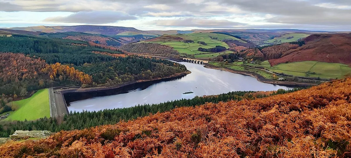
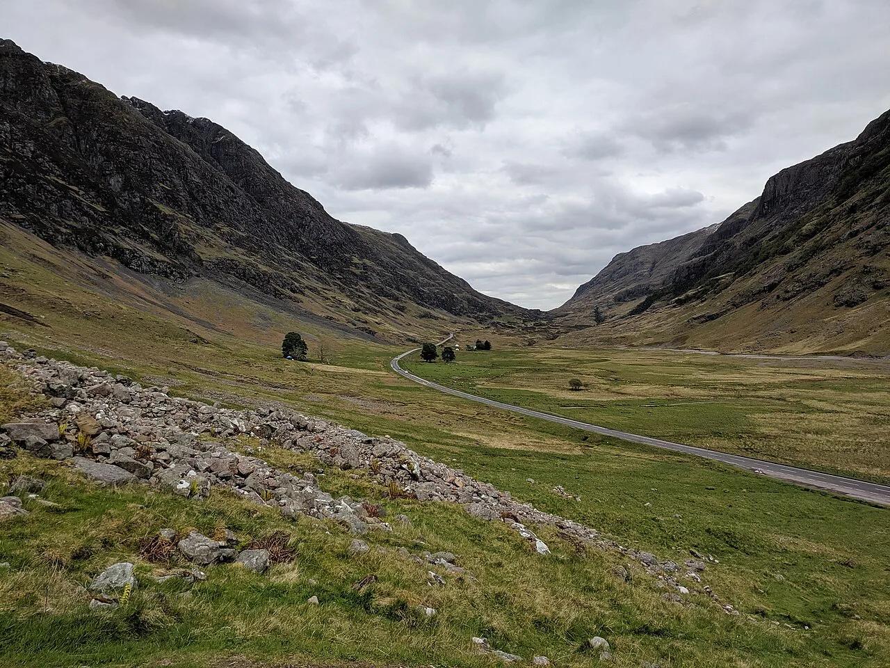
Featured image: Neil Theasby, CC BY-SA 2.0, via Wikimedia Commons.
What Is the Snake Pass?
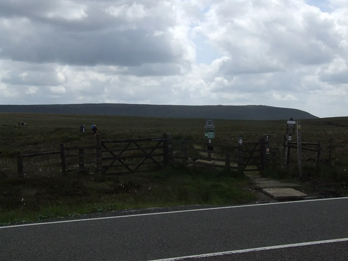
The Snake Pass carries the A57 across the Peak District moors, from Glossop on the western side towards the Ladybower Reservoir. It is a single carriageway with long bends and exposed moorland sections, topping out at 510 m (1,680 ft) where it crosses the Pennine Way. Weather there can differ sharply from the weather in Glossop. Treat it as a mountain road, not a quick shortcut. Overseas visitors should read our guide to driving in England first if UK roads are new to them.
Check Before You Go: Closures and Live Status
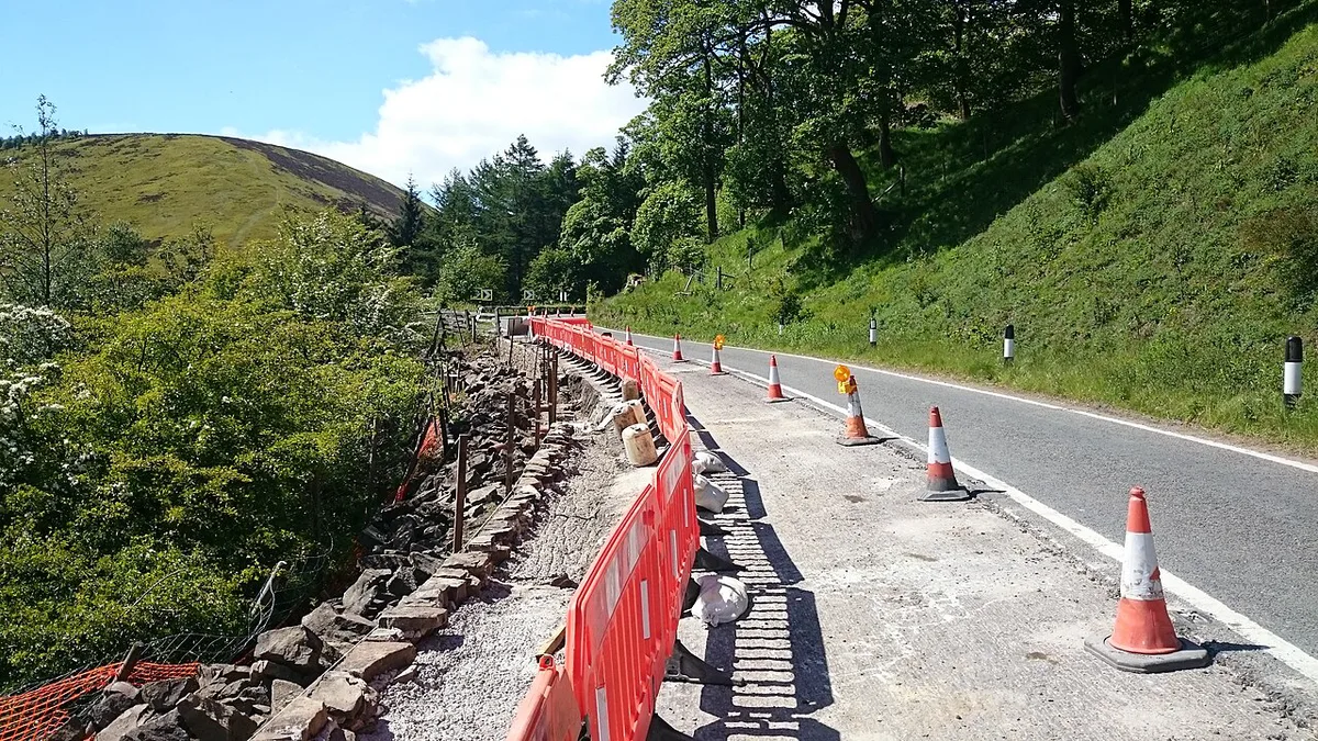
Closures on this road are frequent, and a satnav will not always know about them. Look at the Derbyshire County Council roadworks and travel page on the morning you drive. National Highways publishes traffic information for roads it manages, so use it for the approach roads. Do not assume the road is open because it was open last week. Use the checklist below to decide.
- Go: the council page shows no closure, the sky is clear, and you have a full tank or charge.
- Delay: snow, ice or fog is forecast on the moors. Wait for gritting and for conditions to ease.
- Delay: the road is open but a warning sign at Glossop advises against travel in snow or ice.
- Reroute: any closure notice appears, or a diversion sign is posted. Follow the signed diversion and allow extra time.
Route at a Glance
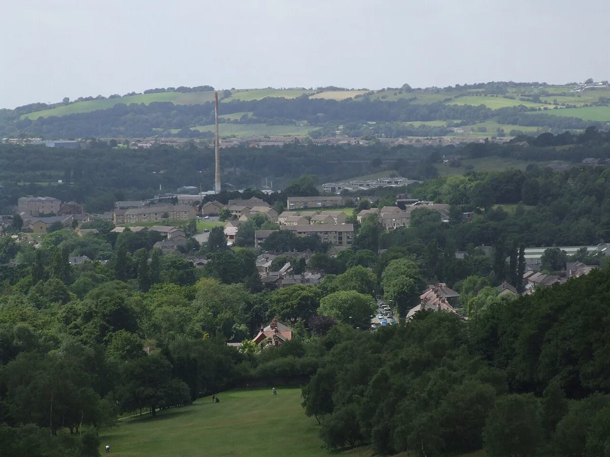
The route runs in one line, so planning is simple. Pick the end that suits your day. Glossop has the towns and shops, while the Ladybower end opens onto reservoir walks and moorland views.
| Stage | What to expect |
|---|---|
| Glossop (west end) | Start here, with fuel and food before the climb. |
| Open moorland | Long bends, exposed ground, and the main weather risk. |
| Ladybower Reservoir (east end) | Reservoir views and walking access on the approach. |
Driving Conditions and Hazards
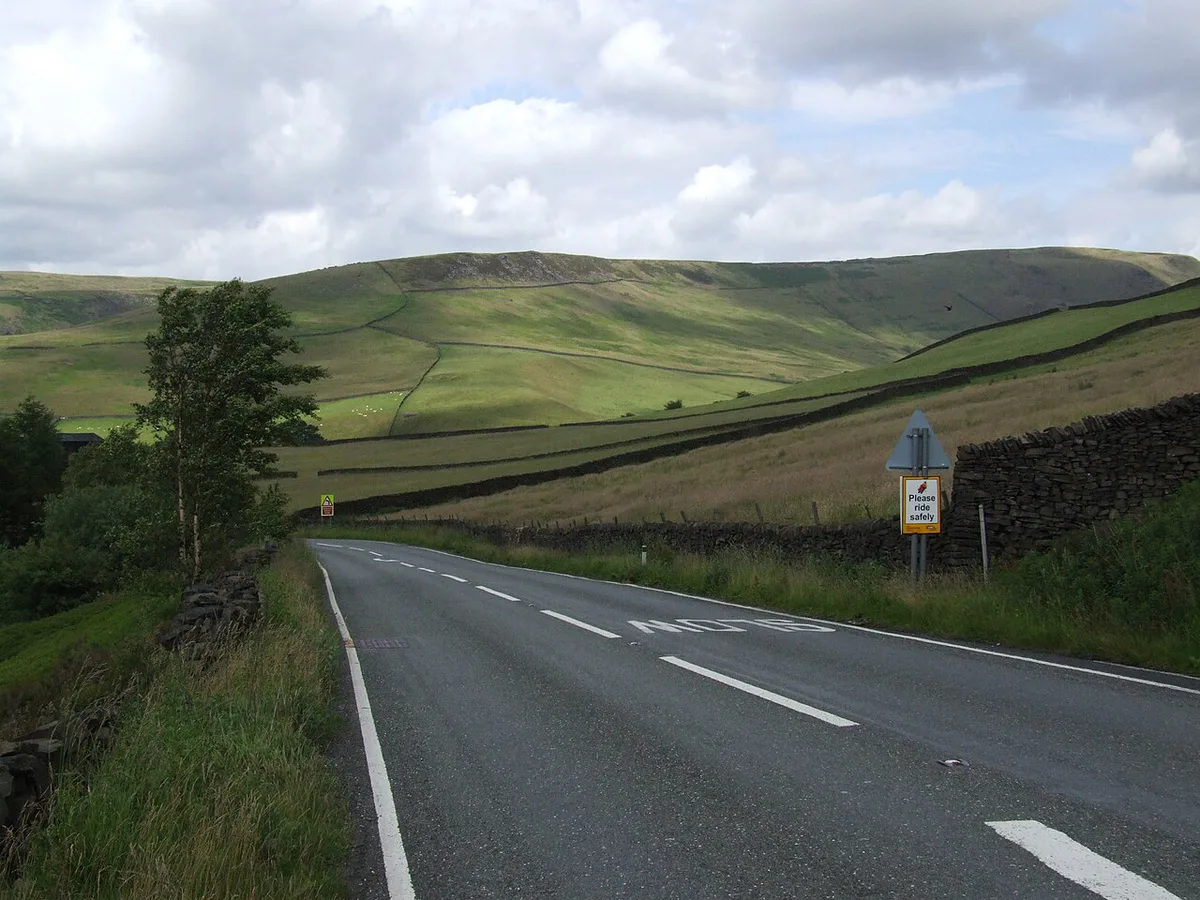
Expect sustained bends and sections that climb and fall. Moorland weather changes fast, and ice and snow are the main winter dangers. Signs near the road warn when ice or snow is likely, so heed them rather than testing them. Cyclists and motorcyclists use the road in numbers on dry weekends, and sheep can stray onto unfenced stretches. Slow down before blind bends and pass cyclists only when you can leave plenty of room. Check our UK speed limits guide for limits, because they differ by road type. Drive on the left, and take particular care at roundabouts at either end if that is unfamiliar.
Hire Car and Overseas Driver Tips
An automatic is easier on a road of constant bends, because you can focus on position and braking. Read our guide to Renting a Car in England: Costs, Rules & Tips before you book. Our UK car rental guide covers the wider rules. US licence holders should read driving in the UK with a US license. Fill the tank or charge fully before you leave Glossop, because moorland stretches have no obvious services. Mobile signal can drop on the moors, so download your route offline first. No toll applies on the A57; our UK toll roads guide lists the roads that do charge.
Alternatives and Diversions
If the road is shut, follow the signed diversion rather than your satnav's improvised route. Diversions add time, so tell anyone waiting for you. For public transport, use an official journey planner, and ring or look up the operator before you rely on a rural service. Some visitors prefer a different test of nerve entirely, such as Hardknott Pass: How to Drive It Safely (Tips & Alternatives) in the Lake District.
| Option | Best for | Main trade-off |
|---|---|---|
| Snake Pass (A57) | Moorland scenery and a direct crossing | Closures and winter weather |
| Signed diversion | Reaching the other side when the road is shut | Extra time and unfamiliar roads |
| Public transport | Drivers who want to avoid the road | Check operators and timetables first |
| Hardknott Pass | A steeper, more demanding mountain drive | Not suited to nervous drivers |
Snake Pass vs Woodhead Pass
The Snake Pass is one of two moorland roads between Manchester and Sheffield. The other is the Woodhead Pass on the A628, to the north. Wikipedia's Snake Pass article describes Woodhead as the primary road link between the two cities: it is a trunk road, less steep and at a lower altitude. That makes it the usual fallback when the Snake is shut, although it crosses exposed moorland too.
| Feature | Snake Pass (A57) | Woodhead Pass (A628) |
|---|---|---|
| Road status | Non-trunk A road | Trunk road, the main Manchester to Sheffield link |
| Summit | 510 m (1,680 ft) at the Pennine Way crossing | Lower than the Snake |
| Climb from the west | About 5.1 km (3.2 miles) from Glossop at roughly 7% average | Gentler gradients |
| Winter | Often the first Manchester to Sheffield road to close in snow | The usual alternative when the Snake is closed |
| Best for | Scenery and the Ladybower end | A more dependable crossing |
History and Closures at a Glance
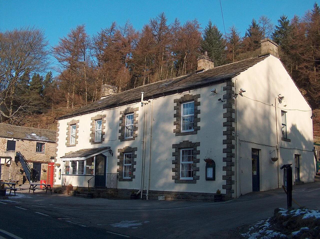
The road was designed by the Sheffield surveyor William Fairbank, built by John Macadam, and opened on 23 August 1821. It takes its name from the Snake Inn, whose sign came from the serpent on the Cavendish arms of the 6th Duke of Devonshire. The inn, later the Snake Pass Inn, closed in October 2019, so do not plan a meal stop there. The peaty moor under the road is unstable, and landslips have closed it for long spells, including January 2008 at Cowms Moor and February 2022 after Storm Eunice, when it reopened on 31 March with restrictions. Snow closures are common: the road is often the first route between Sheffield and Manchester to shut in winter.
Who Should Skip It
Skip the pass in snow, ice or heavy fog. Nervous drivers and anyone new to left-hand driving should choose a calmer road on a first day. Skip it if you have a tight schedule and the road status is uncertain, because a closure will cost you time. If you want scenery with less risk, plan a wider route with our England road trip ideas.
Common Mistakes
Trusting a satnav that ignores closures is the most common error. Starting late in winter, when daylight is short and ice forms, is another. Assuming you will have a phone signal on the moors leaves you stranded if something goes wrong. Setting off with low fuel or a low battery is a fourth mistake. If a pub stop is on your plan, remember the limits in our drink-driving guide.
Frequently Asked Questions
Is Snake Pass steep?
It climbs onto the Peak District moors from Glossop and descends towards Ladybower. The climb from Glossop is about 5.1 km (3.2 miles) at roughly 7% on average, to a summit of 510 m. Expect sustained climbs, descents and bends rather than one sharp ramp. Use a lower gear on descents instead of riding the brakes.
Is the Snake Pass closed in winter?
It often is during snow, and it is frequently the first road between Manchester and Sheffield to close. Landslips have also closed it, as in 2008 and 2022. The Woodhead Pass on the A628 is the usual alternative.
Road-rule changes worth knowing
Optional updates to our guides.
You might also like

Continue reading
More guides you'll find useful