
Hardknott Pass: How to Drive It Safely (Tips & Alternatives)
How hard is Hardknott Pass? Gradient, hairpins, who should skip it, direction, closures and safer alternatives, all before you drive.
On this page
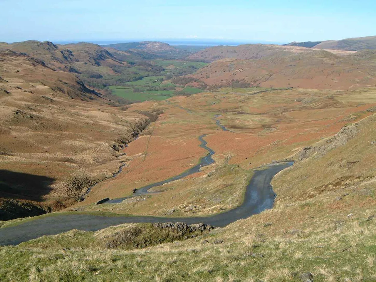
Last updated November 2026: Hardknott Pass is a steep single-track mountain road in Cumbria that links Eskdale and the Duddon Valley. Confident drivers in a suitable vehicle can manage it in dry weather. Large vehicles, nervous drivers and wet or icy days are good reasons to skip it.
Featured image: Mick Knapton at English Wikipedia, CC BY-SA 3.0, via Wikimedia Commons.
Quick answer: Is Hardknott Pass worth driving?
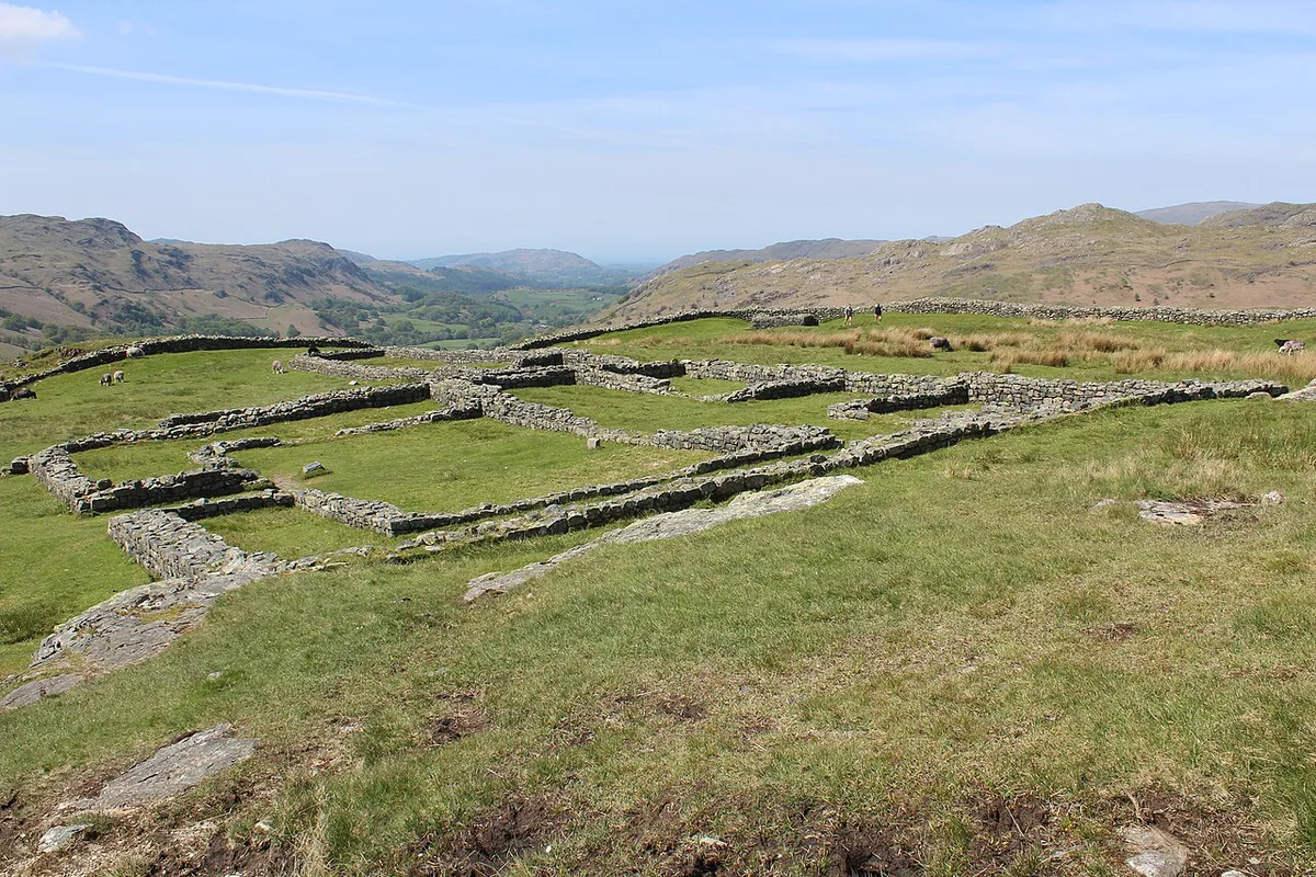
Yes, if you are comfortable with hill starts and the forecast is dry. Road signs and most maps spell it Hardknott, though you will also see Hardknot. The route runs 6.6 miles from Cockley Beck to Holmrook. Its steepest sections reach up to about 1 in 3 (33%), according to signage and the local authority. Hairpin bends, a poor surface and a single lane make wet or icy weather the biggest risk.
Hardknott Pass at a glance
Summit height is 393 m (1,289 ft), which explains why weather changes fast here. Use the table below to size up the road before you commit.
| Detail | What to know |
|---|---|
| Length | 6.6 miles, Cockley Beck to Holmrook |
| Typical time | 25 minutes when quiet; allow up to 1 hour 30 minutes when busy |
| Steepest gradient | Up to about 1 in 3 (33%) |
| Highest point | 393 m (1,289 ft) |
| Road type | Single track with hairpin bends and limited visibility |
| Surface | Poor in places and slippery when wet |
| Winter | Often closed because of ice |
| Priority | Uphill traffic, as advised by the Highway Code |
Should you drive it? Go / no-go checklist
Run through these points the evening before. One clear "no" is enough reason to take another route.
- Vehicle: a small or mid-size car with good brakes and a reliable handbrake. Skip it in a large, low or heavily loaded vehicle.
- Transmission: manual drivers need confident hill starts. Automatics cope well, provided you select a low gear on the descent.
- Driver: you should be happy reversing uphill or downhill to a passing place.
- Weather: go in dry, clear conditions. Skip it in rain, ice, snow or low cloud.
- Daylight: drive in full daylight so you can see oncoming traffic around the hairpins.
- Passengers: nervous passengers or anyone prone to motion sickness will find the hairpins hard.
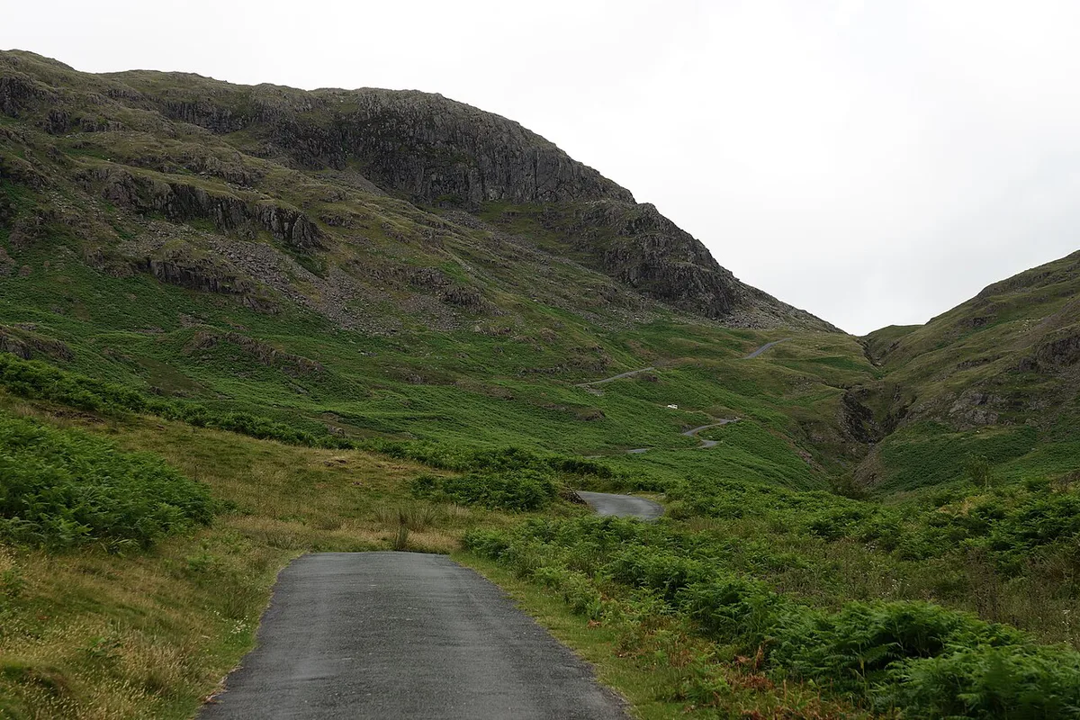
How to drive Hardknott Pass
Most drivers start in Eskdale and head east towards Cockley Beck. That direction puts the climb first and the steep descent toward the Duddon Valley second. Neither direction is officially easier, so choose the one that suits your nerves and the light. Drive in a low gear both ways and let the engine do the braking. Uphill traffic has priority, as advised by the Highway Code on single-track roads. Pull into a passing place early when you see a car coming up. Be ready to reverse if no space is nearby. Expect walkers, cyclists and livestock on the road. National speed limit signs on rural roads set a ceiling, not a target, and UK speed limit rules never justify speed here.
- Mistake: tailgating. Leave room to stop on a 1 in 3 slope.
- Mistake: ignoring the weather. A wet surface changes the whole drive.
- Mistake: taking a wide vehicle, caravan or trailer.
- Mistake: trusting sat-nav alone. It may route you here without warning.
- Mistake: stopping on a hairpin. Wait for a straight section or a passing place.
Hardknott vs Wrynose Pass: which and in what order
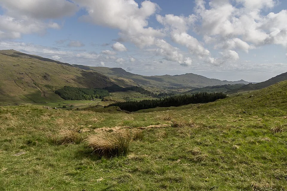
Wrynose Pass sits at the eastern end, and most drivers tackle the two as a pair. Hardknott alone takes about 25 minutes when quiet and up to 1 hour 30 minutes when busy. Wrynose adds more single-track driving on top of that. If you are unsure, drive Hardknott first, then decide at Cockley Beck whether to continue. Combine them only if you are confident, the weather is dry and you have a free afternoon. Wrynose leads on towards Ambleside.
Roman fort stop and what else to see nearby
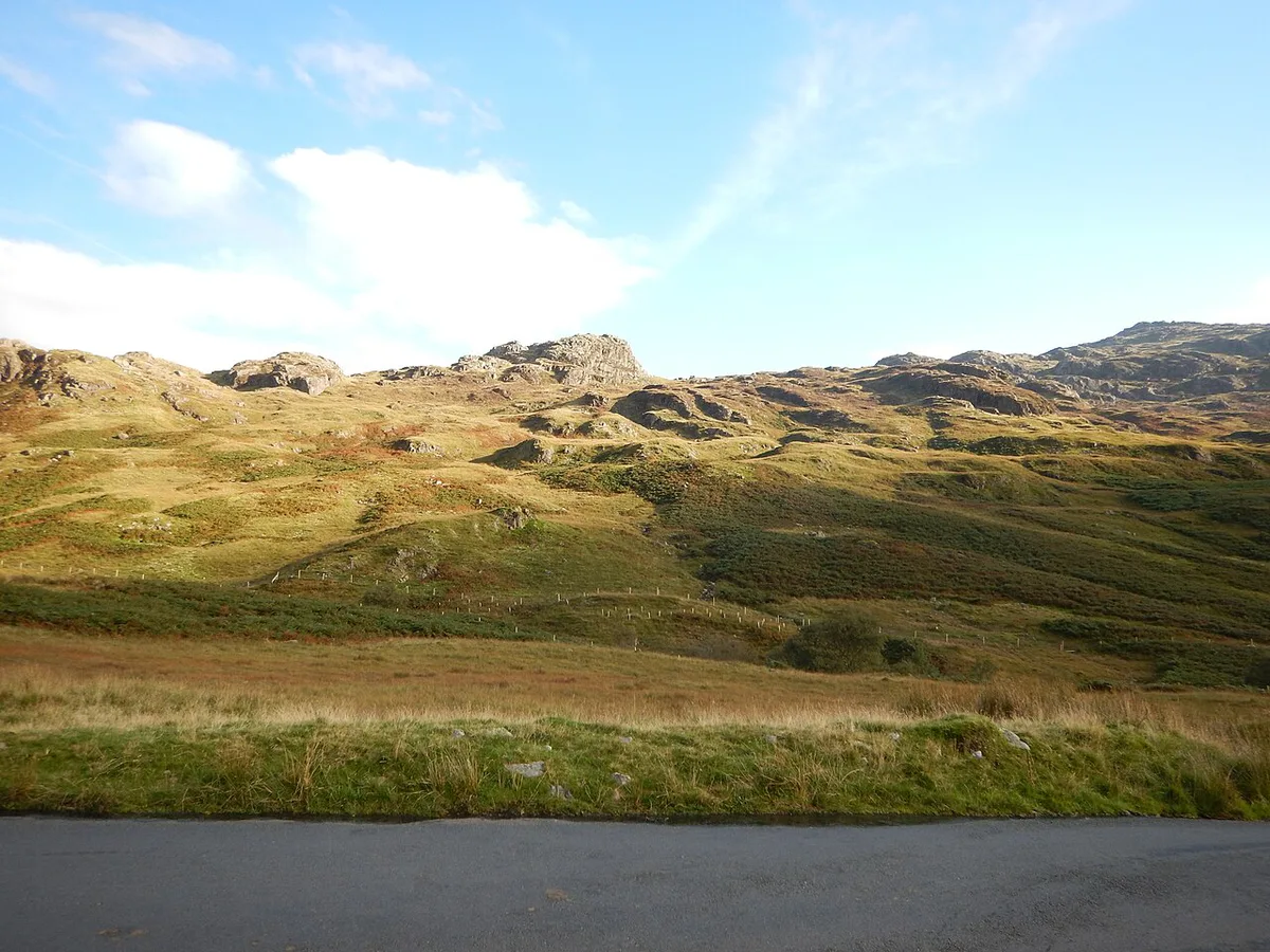
Hardknott Roman Fort sits on the pass and is the natural reward stop. It is also a safer place to pause than the road itself. Park only where it is clearly allowed and leave passing places free. Access, parking and opening arrangements are set by the site's managing body, so look up current details before you plan a long visit. Eskdale and Boot, on the western side, make easy bases for the rest of the day.
Weather, winter closures and where to check conditions
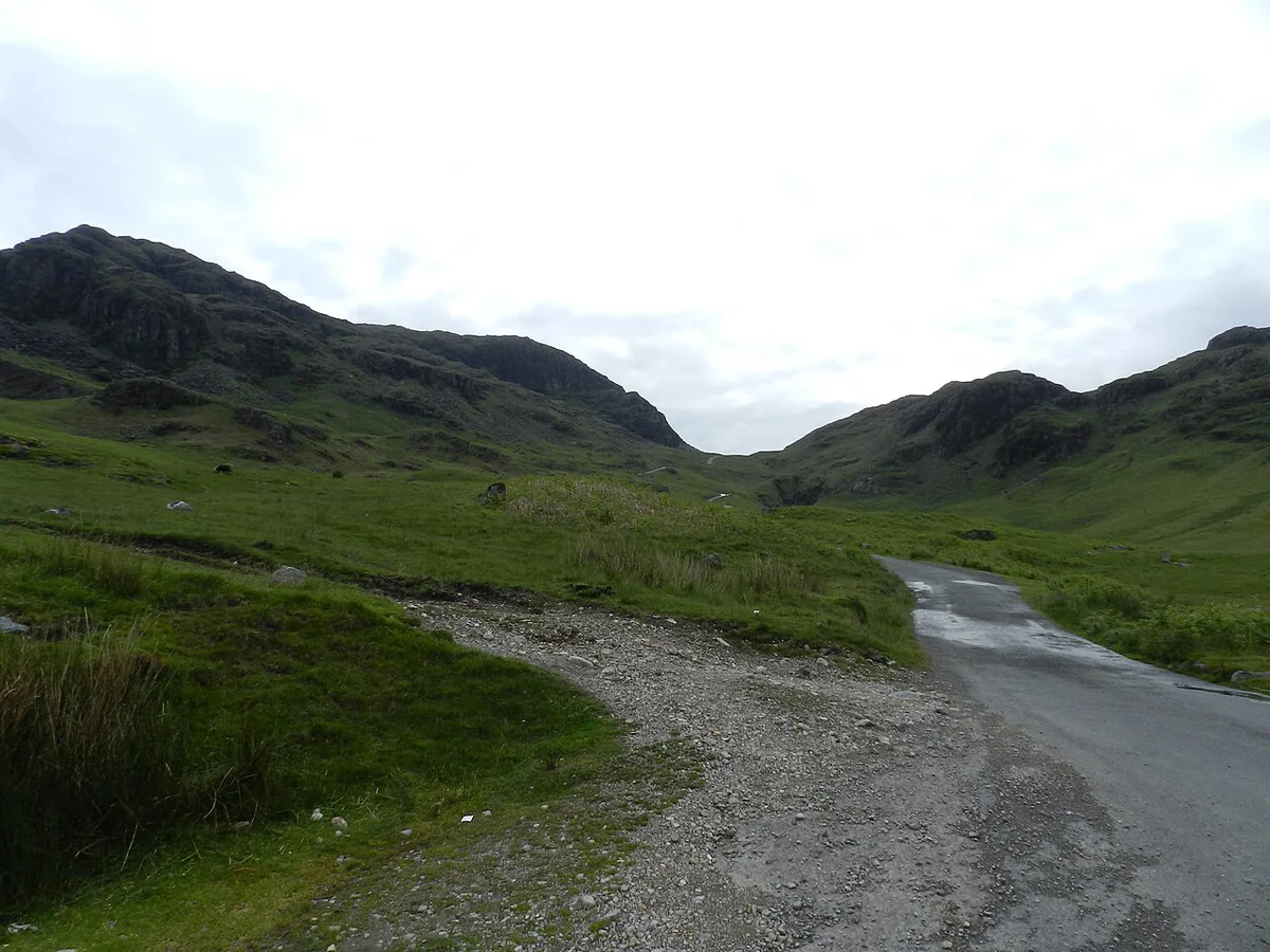
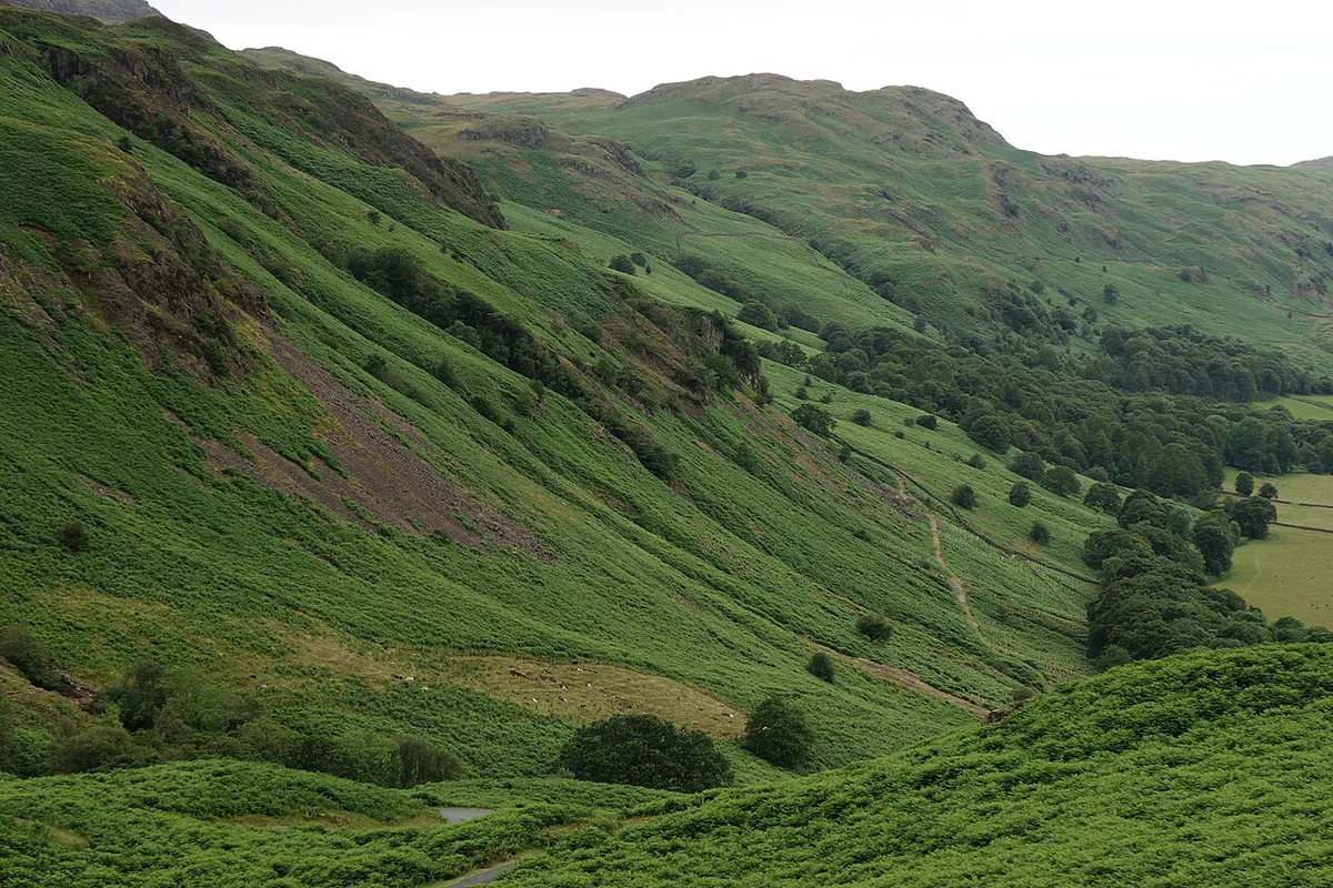
At 393 m (1,289 ft), the pass is often closed in winter because of ice. Flooding and roadworks can also close it at other times. Check the Met Office mountain forecast, the Lake District National Park website and the county highways authority before you set off. Local road signs at the foot of the pass also warn of conditions. Turn back if the road looks icy or wet at the bottom, because it will be worse higher up.
Rental cars, insurance and foreign drivers
Some rental agreements restrict "unsuitable" or minor mountain roads. Read your own terms before you go. Our guide to Renting a Car in the UK: Costs, Rules & Mistakes covers what to look for. Drivers who normally use automatics or drive on the right should think twice about the pass. Left-hand driving, narrow lanes and steep hairpins add up quickly. Start with UK driving basics before you attempt it. Visitors on a US licence can read driving with a US license for the rules.
Automatics cope well on the 1 in 3 (33%) descent if you select a low gear, but some rental agreements restrict minor mountain roads.
Where to base yourself and logistics
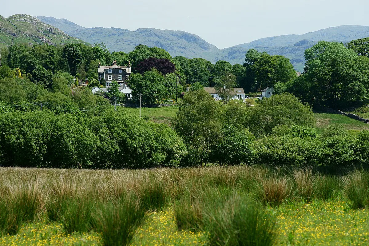
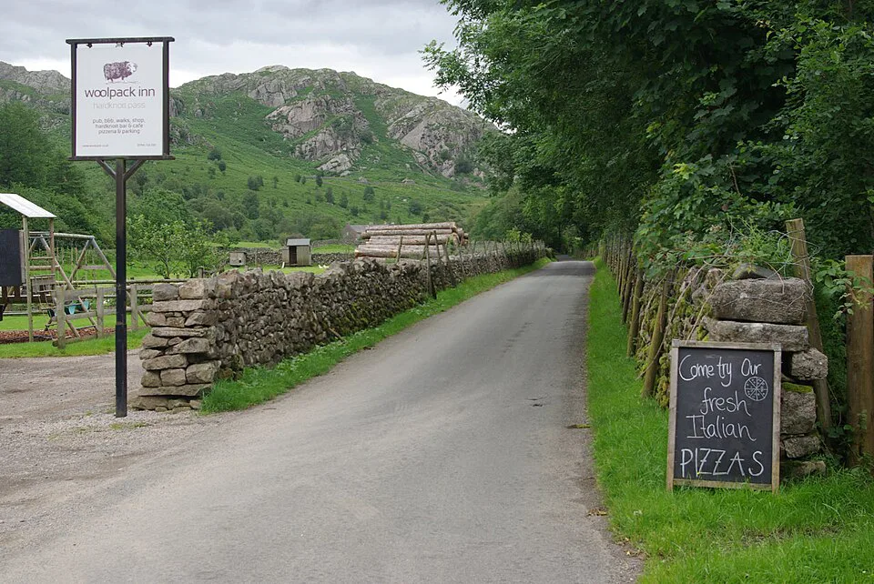
Eskdale and Boot suit the western approach, while Ambleside and the Langdale side suit the east. Parking near the road is limited, so arrive early on summer weekends. Fill the tank and buy food before you start, because there are no services on the pass. Mobile signal is likely to be poor, so download your map and tell someone your route. The drive itself is free, with no tolls or charging zones on this road.
Alternatives if you skip it
Drivers who decide against it can use main roads, either via the A595 along the coast or via Ambleside and the A593. Check the current route before you leave. Walking and cycling are other ways to see the pass at your own pace. For another demanding upland drive, compare Snake Pass in the Peak District. When you are ready to plan something bigger, see our England road trip guide. For wider context on roads and rules, read Driving in England: Rules, Rentals and Tips for Visitors.
Skipping Hardknott still lets you reach Ambleside by the A593, the town Wrynose heads toward.
Frequently Asked Questions
Is Hardknott Pass closed?
It is often closed in winter because of ice, and flooding or roadworks can shut it at other times. Check the county highways authority and the Lake District National Park website on the day. Local signs at either end also show the current status.
How hard is Hardknott Pass?
It is demanding but driven daily. Gradients reach up to about 1 in 3, and the hairpins are tight on a single-track road. Difficulty depends mostly on weather, your vehicle and your comfort with hill starts.
Road-rule changes worth knowing
Optional updates to our guides.
You might also like

Continue reading
More guides you'll find useful