
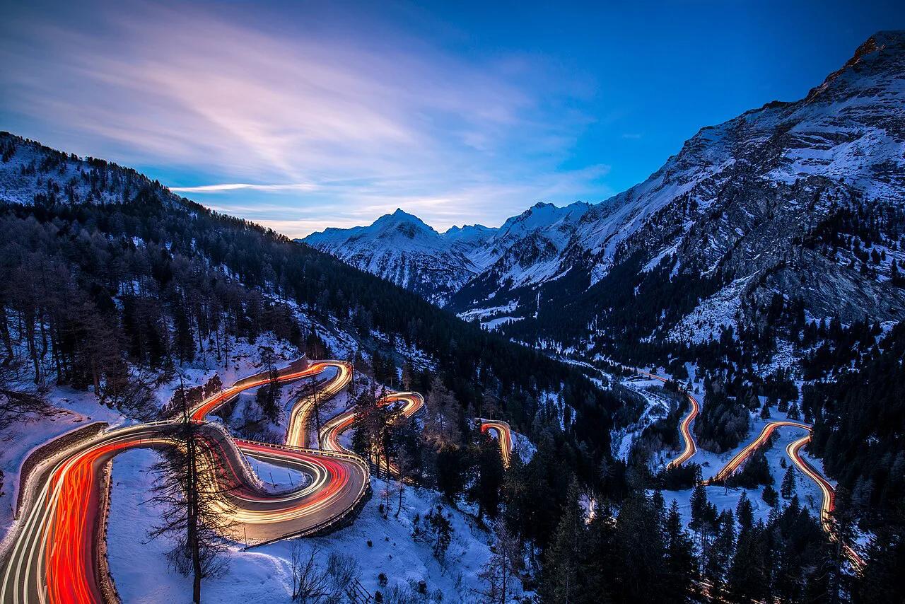
Maloja Pass: Driving Guide, Route & Season Tips
Plan the Maloja Pass drive between the Engadine and Val Bregaglia: route, hairpins, winter rules, stops and how to combine it with nearby passes.
On this page
Last updated November 2026. The Maloja Pass links the Upper Engadine near Sils with Val Bregaglia and Chiavenna in Italy, and its summit sits at 1,815 m (about 5,955 ft). Approaching from the Engadine, you barely notice a climb, then the road drops in hairpins toward Casaccia. Use this guide to choose a direction, check winter rules and decide what to do at the top, alongside our 14 Swiss Mountain Passes: Choose, Time and Route overview.
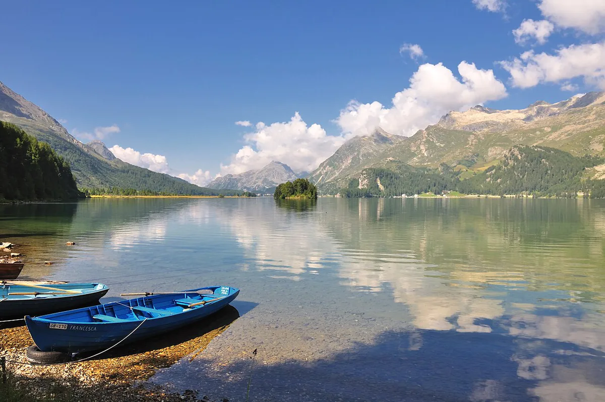
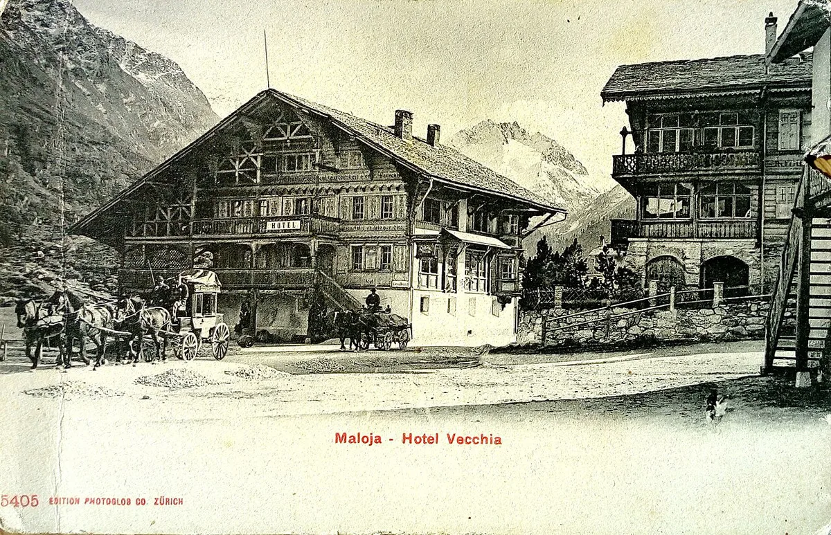
Featured image: Feel free to use my photos, but please mention me as the author and if you want send me a message, CC BY-SA 3.0 AT, via Wikimedia Commons.
Maloja Pass at a glance
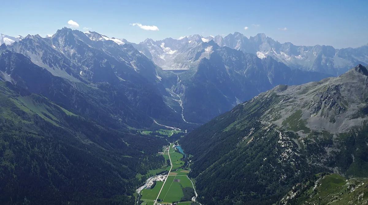
Tourism boards describe the road as open year-round, but road status changes with weather. Check the live status on the TCS pass status page before you leave. Winter snowfall is common at this altitude. Prices and hours were last checked November 2026.
| Detail | Maloja Pass |
|---|---|
| Summit altitude | 1,815 m (about 5,955 ft) |
| Canton | Graubünden |
| Connects | Upper Engadine (Sils, toward St. Moritz) with Val Bregaglia and Chiavenna |
| Engadine side | Gentle plateau approach |
| Bregaglia side | Steep hairpin descent below the summit |
| Best for | Scenic drivers, motorcyclists, cyclists and day trippers heading to Lake Como country |
Route and what the Maloja Pass drive is like
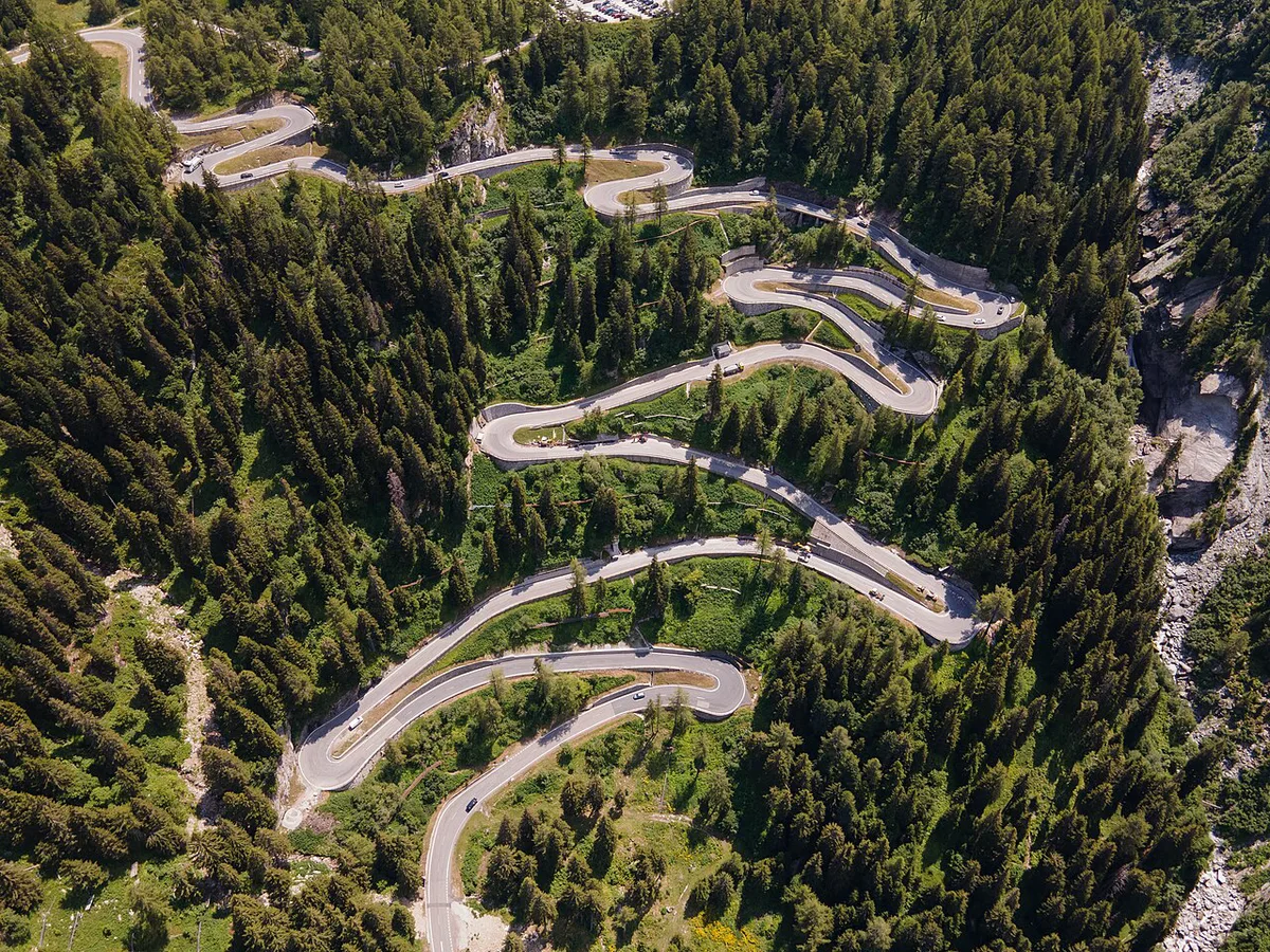
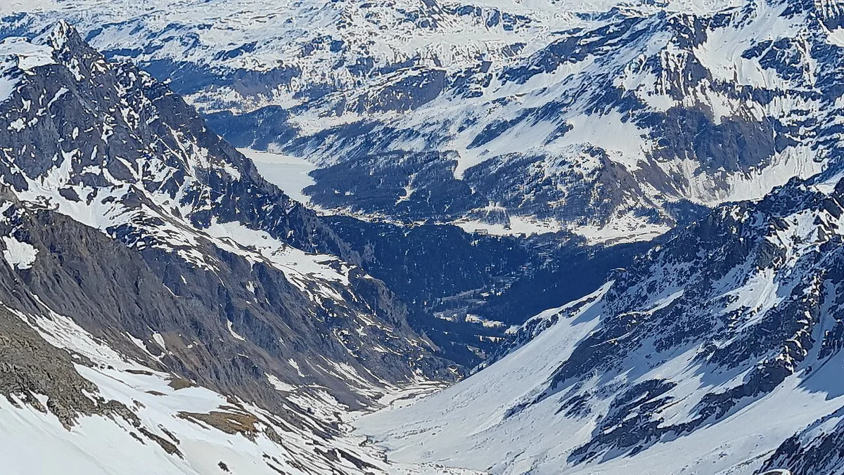
Coming from Sils/Segl, you cross a broad plateau with lakes and open views. Maloja village marks the edge of that plateau. Then the road tips over the rim and descends the Val Bregaglia wall in a run of hairpin bends. Lower down, it eases through Casaccia and Stampa toward the Italian border and Chiavenna.
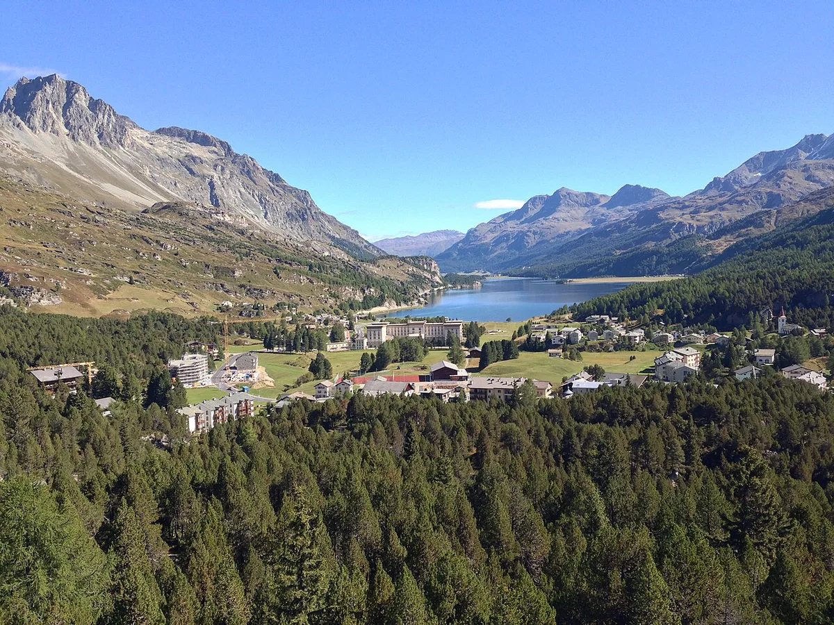
That contrast answers why the pass feels flat on one side and steep on the other. The Engadine floor already sits high, so you gain little altitude on approach. Val Bregaglia falls away sharply, so the south side takes the full drop in a short distance. Climbing from Italy, you travel a gentle valley road before a steeper, curvier final section above Casaccia.
| Direction | What you see | Difficulty (editorial judgement) | Best for |
|---|---|---|---|
| St. Moritz/Sils to Chiavenna | Lakes first, then the valley opens suddenly below the hairpins | Downhill braking on bends; stay in a low gear | Drivers who want the big reveal |
| Chiavenna to St. Moritz/Sils | Narrow valley, then a climb up the rock wall to a flat plateau | Uphill bends need patience with slower traffic | Motorcyclists and photographers |
Best time to go and winter conditions
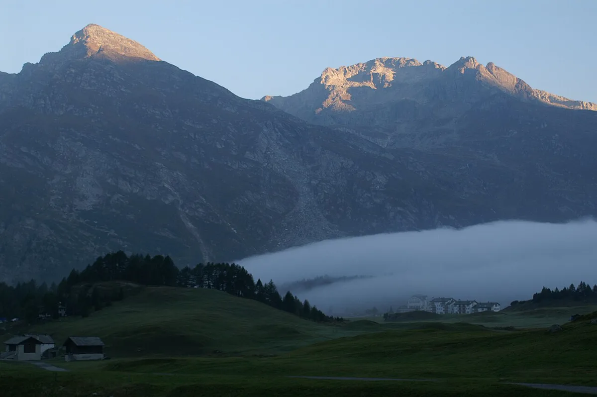
Summer suits driving, riding and hiking. Winter turns Maloja into a cross-country skiing base, and the Swiss Federal Roads Office is the national road authority to follow for closures. On the Italian side, the Province of Sondrio requires winter tyres or snow chains on board from 15 October to 30 April. Carry both if you cross in that window, and confirm Swiss winter equipment expectations before departure.
Shoulder months bring early snow, and winter tyres or snow chains are required on the Italian side from 15 October to 30 April.
| Season | What to expect | Driving implication |
|---|---|---|
| Summer | Hiking, cycling and open-air stops | Best window for hairpin photography and long daylight |
| Shoulder months | Variable weather and early snow | Check live status and carry chains |
| Winter | Cross-country skiing and frozen-lake walks | Winter tyres and chains; allow extra time |
Border, documents and practicalities
Chiavenna lies in Italy, so you cross a border on the south side. Carry a valid identity card or passport for every adult and child in the car. Motorways in Switzerland need a vignette, so check the official Swiss e-vignette site if your route joins them. Large campers should skip the hairpins unless the route is confirmed suitable.
How to plan your time on the Maloja Pass
No official drive time is published for this stretch, so budget by activity rather than minutes. A pass-only drive fits into a short stop between Sils and Chiavenna. Add a village stop at Maloja for a half day. Add a hike to Lake Cavloccio, at 1,907 m (about 6,257 ft), for a full day.
- Pass-only drive: short stop for photos at the hairpins
- Half day: village walk, Segantini sites and lunch
- Full day: Lake Cavloccio or the Isola walk
Things to do at the top
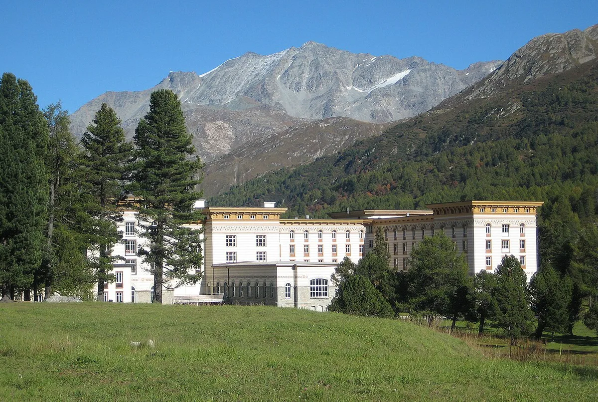
Maloja village was the last home of painter Giovanni Segantini, and the Segantini Trail introduces the village. The Smugglers' Trail near Capel follows the history of smuggling between Italy and Switzerland. Isola is a 1 hour walk from Maloja or Sils Maria. Maloja is also the start of the Inn Cycle Path, which runs to Passau in Germany. In winter, Maloja is the starting point of the Engadin Skimarathon, and Isola draws walkers onto the frozen lake. More local detail is on Graubünden tourism.
Compared with the full-day Lake Cavloccio hike, the 1 hour walk from Maloja or Sils Maria is the shorter option at the top.
Getting to the Maloja Pass without a car
Local tourism information says you can reach the pass from Chiavenna by AutoPostale. Timetables vary by season, so check the operator's schedule for your date. From the Engadine side, plan a connection from St. Moritz toward Sils and Maloja, and see MySwitzerland for onward options.
Combining Maloja with other passes
Maloja pairs naturally with other Graubünden crossings in a wider Engadine trip. Bernina Pass: Route, Season, Car vs Train Guide and Julier Pass Guide: Route, Opening, Driving Tips are neighbouring routes worth comparing. For crossings toward Italy and Ticino, read about Splügen Pass. Another option is San Bernardino Pass: Driving, Season and Tunnel Option. For wider comparison, see the Gotthard Pass: Route, Tremola Road and Tunnel Choice and the full list of Swiss passes.
Frequently Asked Questions
What pass goes from Switzerland to Italy?
Maloja is one option, leading from the Upper Engadine to Chiavenna in Italy. Other routes include the Great St Bernard Pass: Road, Tunnel, Hospice and Dogs (Planning Guide).
Is the Maloja Pass open all year?
Tourism sources describe it as open year-round. Winter snow can still affect conditions, so check live road status before departure.
Road-rule changes worth knowing
Optional updates to our guides.
You might also like

Continue reading
More guides you'll find useful