
San Bernardino Pass: Driving, Season and Tunnel Option
Plan the San Bernardino Pass drive in Switzerland: route, season, pass-vs-tunnel choice, and who should skip it.
On this page
Last updated November 2026. The San Bernardino Pass is a seasonal mountain road in Switzerland that links Graubünden with Ticino, with a summit of about 2,066 m (6,778 ft). It is closed in winter, and the A13 road tunnel beneath it is the year-round alternative. This guide is about Passo del San Bernardino in the Swiss Alps, not San Bernardino, California.
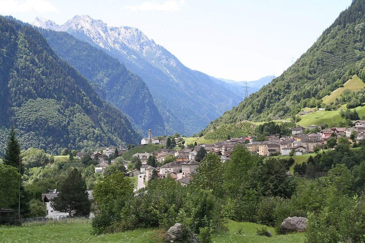
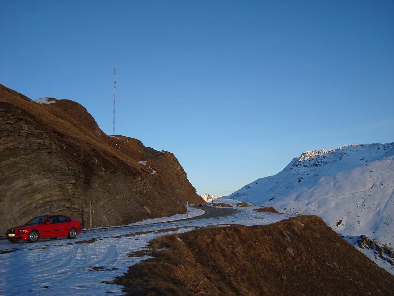
Featured image: EinDao, CC BY-SA 4.0, via Wikimedia Commons.
Quick answer: what the San Bernardino Pass is
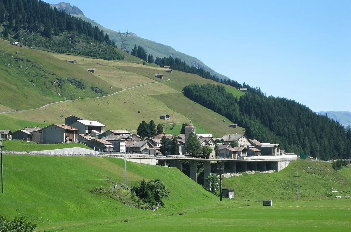
The pass road connects the Hinterrhein valley in Graubünden with the Mesolcina (Misox) valley in Ticino. It sits on the route between Thusis and Bellinzona. The road runs just over 30 km (about 19 miles) and tops out near 2,066 m (6,778 ft). Plan on a summer-only drive and allow extra time for photo stops. Three things share the name, so keep them apart:
- Passo del San Bernardino: the seasonal mountain road over the summit.
- A13 San Bernardino tunnel: the motorway tunnel between Hinterrhein and Mesocco, open all year.
- San Bernardino village: the resort village near the highest point of the pass.
San Bernardino Pass road vs A13 tunnel: which to choose
Pick the pass road for scenery on a clear summer day. Pick the tunnel when the weather is poor, the season is over, or you simply need to get across. The A13 is a national motorway, so it needs the Swiss vignette. The official e-vignette site sells it and lists the current price. The pass road is an ordinary mountain road, and the tunnel is the only crossing here that stays open in winter.
| Factor | Pass road | A13 tunnel |
|---|---|---|
| Season | Summer only | Year-round |
| Scenery | Moorland, woods, waterfalls, lake | Little to see inside the tunnel |
| Weather exposure | High, with altitude weather changes | Low |
| Closure risk | Closed in winter, snow risk in early and late season | Lower, but check live status |
| Best for | Confident drivers with daylight to spare | Large vehicles, caravans, tight schedules |
The route: Thusis to Bellinzona and which direction to drive
Thusis in Graubünden marks the northern end, and Bellinzona in Ticino marks the southern end. The road passes the village of San Bernardino close to the summit. Many guides recommend driving from the south. In our editorial view, that has real merits, though neither direction is wrong. Here is the trade-off:
- South to north: the gradients start gently and steepen after San Bernardino, so you meet the harder climbing once you are warmed up.
- North to south: you descend toward Ticino, which suits drivers who prefer to tackle the steeper section on the way up the Graubünden side.
- Either way, leave early. Altitude weather tends to turn later in the day.
When the San Bernardino Pass is open and how to check road status
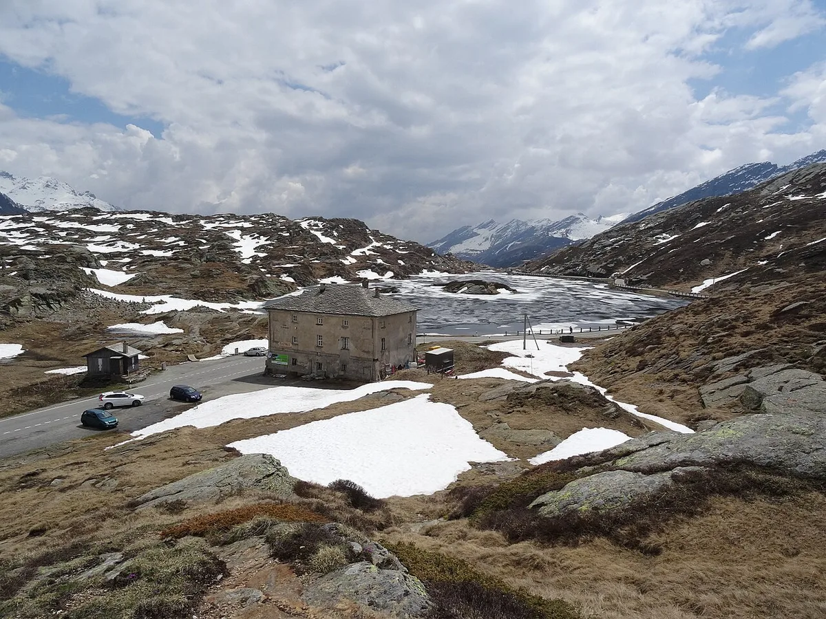
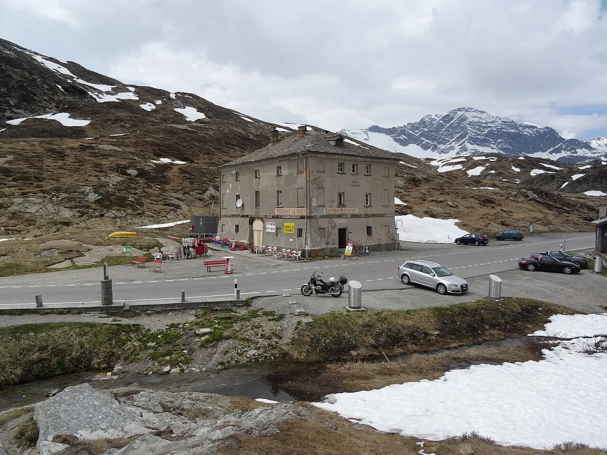
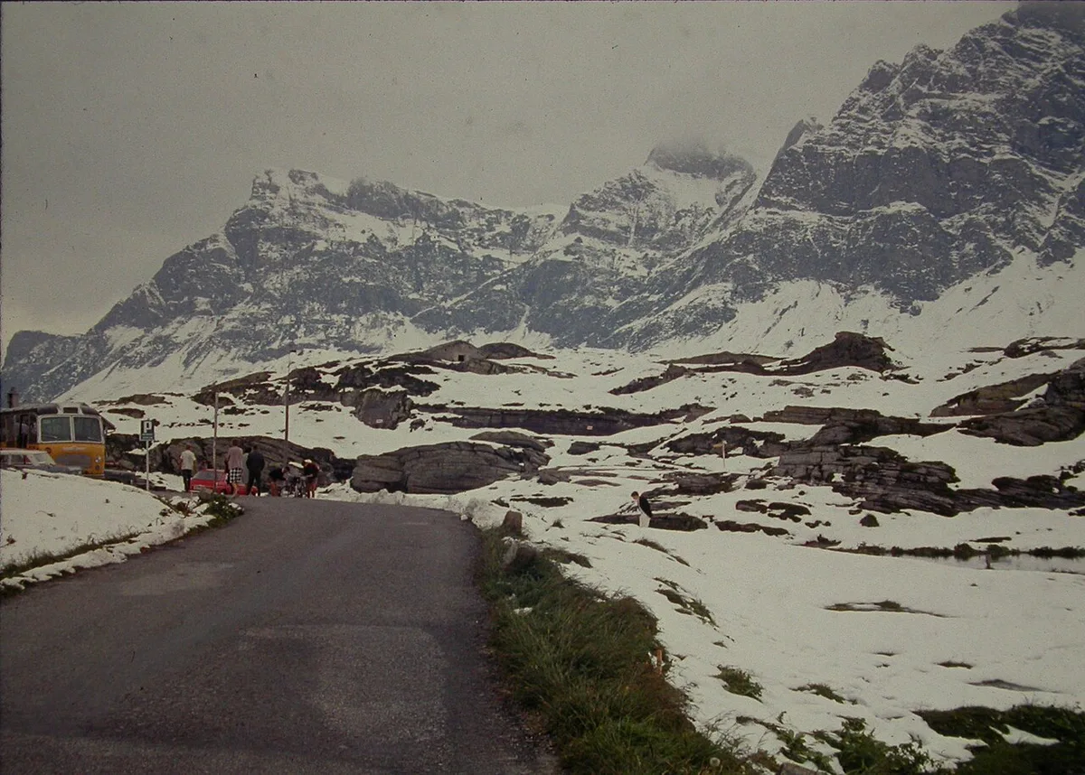
The pass road is closed in winter and open in the summer months. Exact opening dates move with snowfall, so no fixed date is safe to plan around. Before you leave, look at live road status from the Swiss Federal Roads Office or the TCS pass status page. In early and late season, expect snow and sudden cold at 2,066 m even when the valleys are mild. If the pass shows as closed, the A13 tunnel is your route.
What to see and where to stop
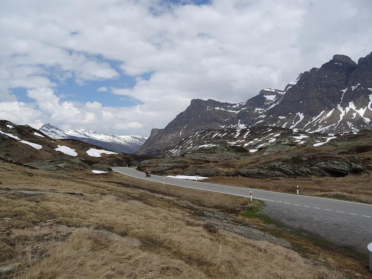
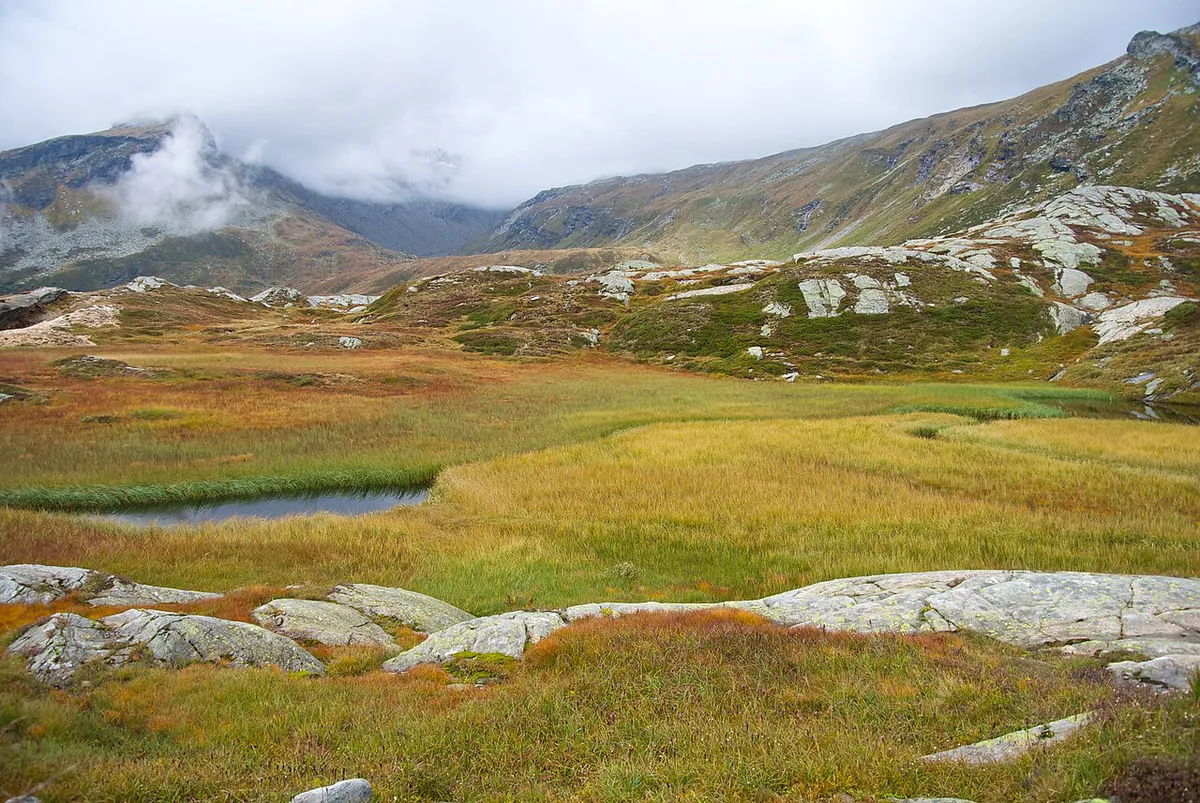
The road crosses wild moorland, wooded stretches and roadside waterfalls. The area near the summit is rich in plant life, and a high mountain lake lies close to the top. San Bernardino village is the obvious stop for a break, since it sits near the highest point. Thusis and Bellinzona make natural overnight bases at either end. For regional context on Graubünden and Ticino, see Graubünden tourism.
Who should skip the pass road, and mistakes to avoid
Skip the pass road if you dislike mountain driving, tow a caravan or drive a large vehicle. Skip it too if daylight is short. Vehicle restrictions are set by the road authorities, so confirm them for your vehicle before you commit. No bus service over the pass is confirmed here, so non-drivers should look at current timetables on the Swiss public transport site before planning around one.
Short daylight is a poor match for a summit where snow can reach 2,066 m in early and late season.
- Assuming the pass is open because the valleys are clear.
- Buying no vignette and then taking the A13 motorway.
- Starting late and facing the steeper section in poor light.
- Confusing the pass with the tunnel when reading road alerts.
Getting there and pairing it with nearby passes
Thusis and Bellinzona are the practical start points, and the tunnel keeps both reachable year-round. The Hinterrhein valley also connects to the Splügen Pass, its closest neighbour in our cluster. For the main north-south alternative, see the Gotthard Pass: Route, Tremola Road and Tunnel Choice. A longer Graubünden and Ticino trip could add the Nufenen Pass: Season, Directions and Driving Tips, the Bernina Pass: Route, Season, Car vs Train Guide or the Julier Pass Guide: Route, Opening, Driving Tips. Our Swiss mountain passes overview compares them all.
Just over 30 km long, the pass road pairs well with the Splügen Pass on one Hinterrhein valley day.
Frequently Asked Questions
Is the San Bernardino Tunnel open today?
The A13 tunnel is the year-round crossing, but live conditions can change. Check the Swiss Federal Roads Office or the TCS status page before you set off.
What is the elevation of the San Bernardino Pass?
The summit is about 2,066 m (6,778 ft). The highest point lies close to San Bernardino village.
Road-rule changes worth knowing
Optional updates to our guides.
You might also like

Continue reading
More guides you'll find useful