
Julier Pass Guide: Route, Opening, Driving Tips
Julier Pass guide: the Silvaplana to Bivio route, year-round opening and winter status, how to drive or cycle it, and how it compares with nearby passes.
On this page
Last updated November 2026. The Julier Pass is the main road in Graubünden between Bivio and Silvaplana in the Upper Engadin, part of Main Road 3 from Chur, and it has no winter closure. This guide covers the route, winter conditions, driving and cycling, and where it fits among the 14 Swiss Mountain Passes: Choose, Time and Route.
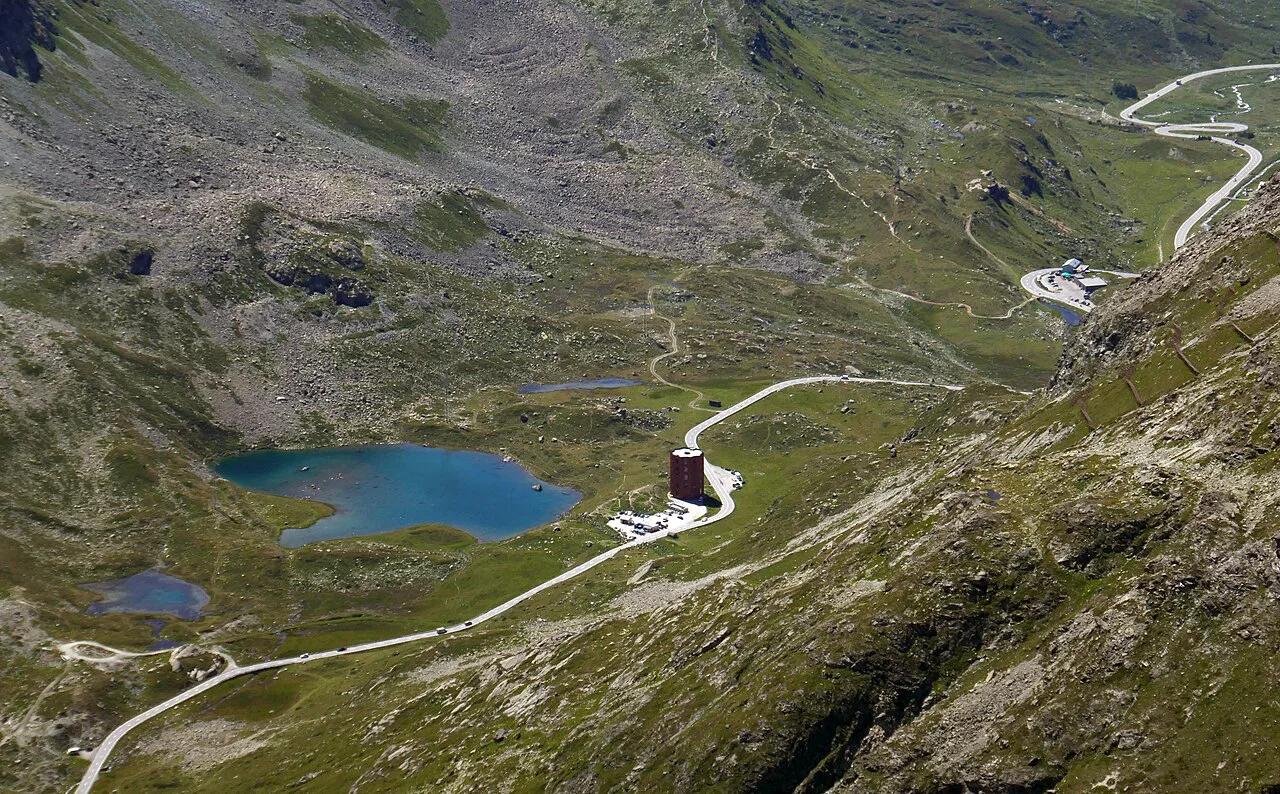
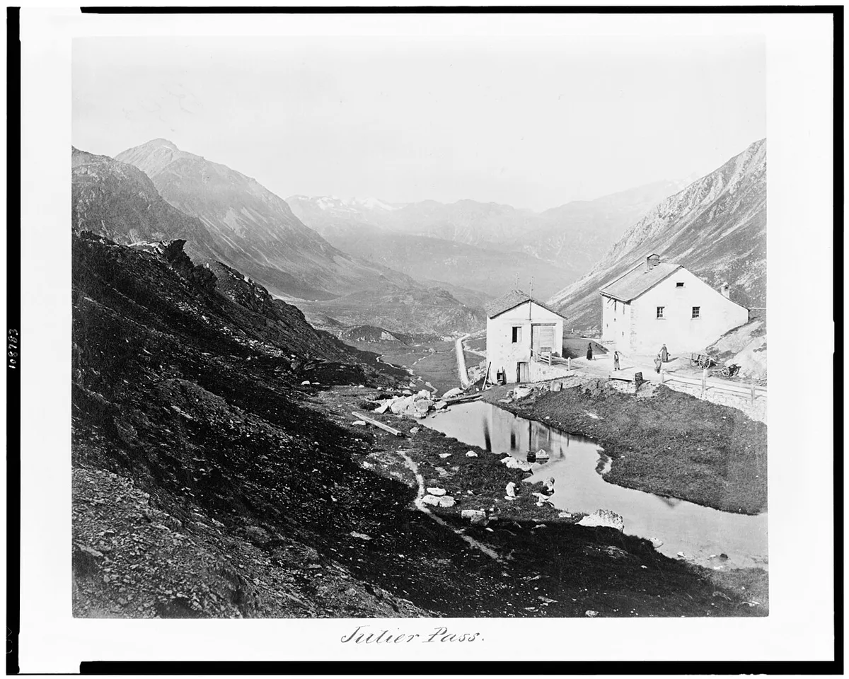
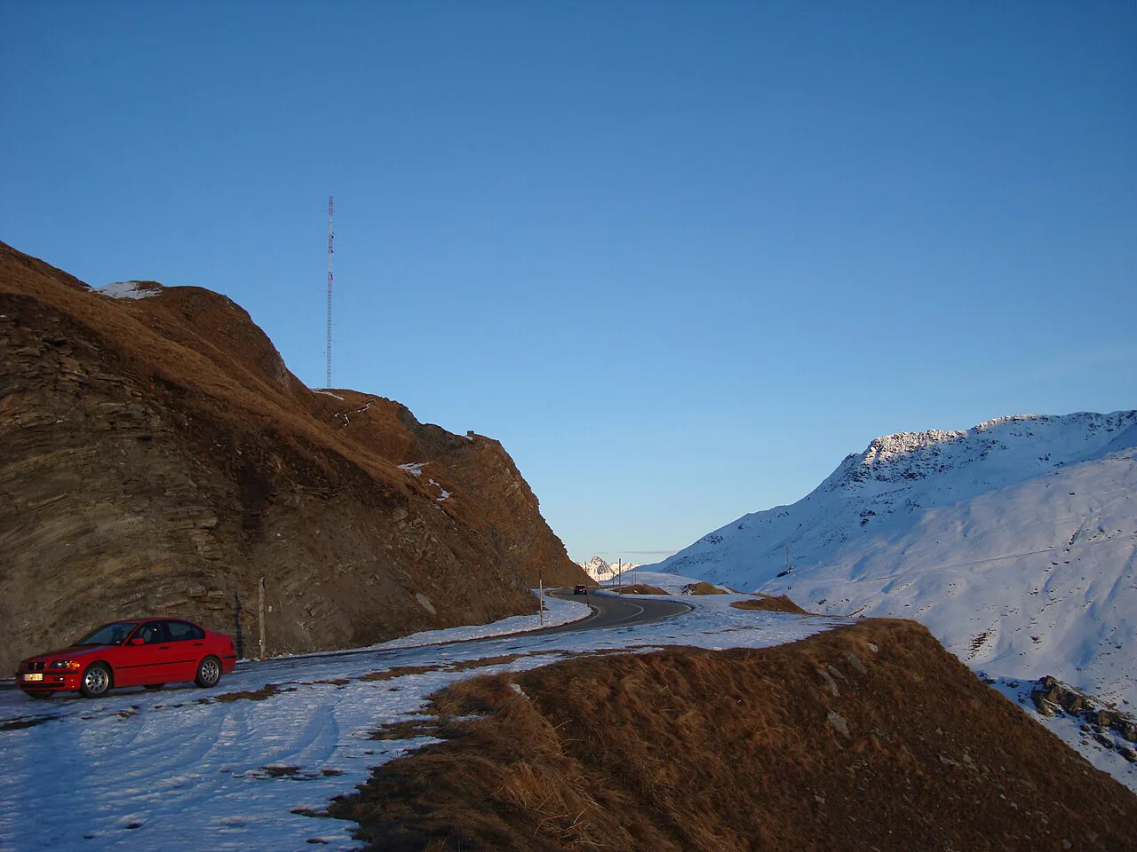
Featured image: Tiia Monto, CC BY-SA 4.0, via Wikimedia Commons.
Julier Pass at a Glance
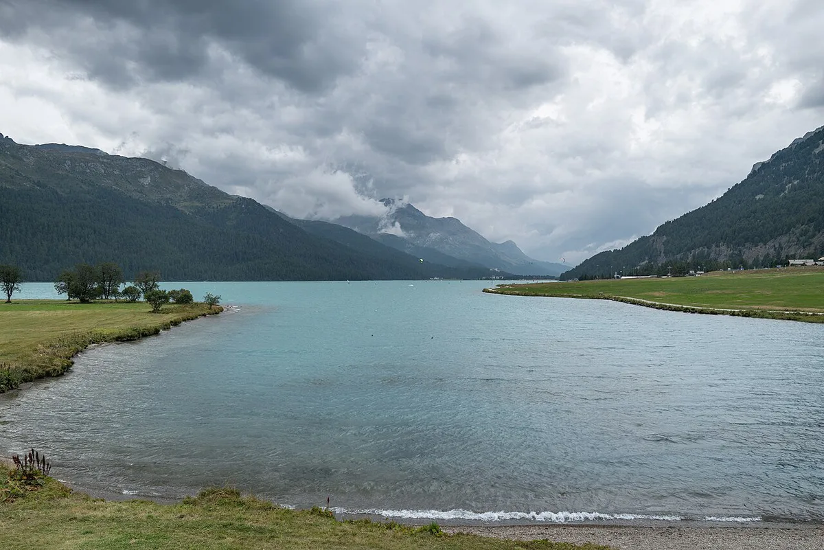
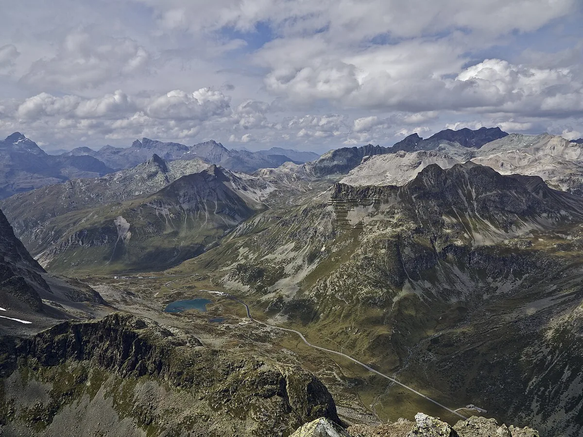
Julier Pass crosses the watershed between the Rhine and the Danube basins at 2,284 m. Silvaplana sits at 1,815 m on the Engadin side, and Bivio sits at 1,769 m on the other. Graubünden's regional tourism pages are the best starting point for planning around the pass.
| Fact | Detail |
|---|---|
| Connects | Silvaplana (1,815 m) and Bivio (1,769 m) |
| Length | 7.1 km from Silvaplana to the top; 35 km up the north side from Tiefencastel |
| Summit elevation | 2,284 m |
| Steepest grade | Just under 12% |
| Canton | Graubünden |
| Season | Year-round; no winter closure |
| Wider approach | Chur to St. Moritz via Tiefencastel and Savognin |
Is the Julier Pass Open? Winter and Season Reality
Julier is a year-round road, but snow and ice can close it for short spells. That sets it apart from the Albula Pass, closed every year from November to June because of avalanche risk, and from Flüela, usually closed from early January until April or May. In winter, cars need winter tyres, and chains may be required depending on conditions. Look up live status on the TCS pass status page before you leave. Federal road information is also published by the Swiss Federal Roads Office.
- Winter tyres fitted, chains in the boot
- Fuel tank above half before the climb
- Live road status checked on the morning of travel
- A fallback route or train ticket if the pass shuts
How to Get to the Julier Pass
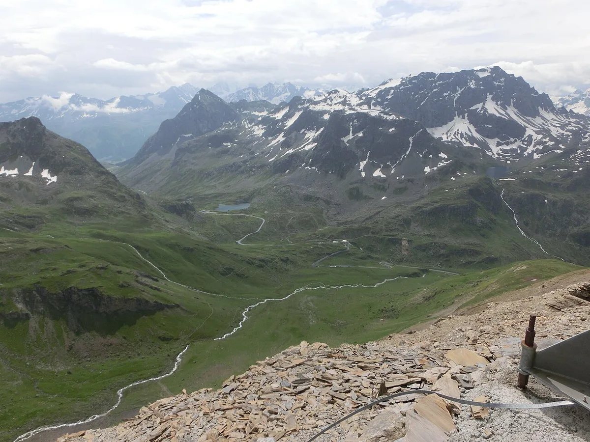
Most drivers arrive from Chur. The route runs through Tiefencastel and Savognin to Bivio, then climbs over the summit and drops to Silvaplana. From there, St. Moritz is the next major base town. Coming from the Engadin, you drive the same road in reverse. If the weather looks poor, the Rhaetian Railway's Albula line, opened in 1903, is the rail alternative between the Engadin and Chur. Timetables for PostBus and rail change by season, so look up current schedules on the operators' sites.
The Drive: What to Expect
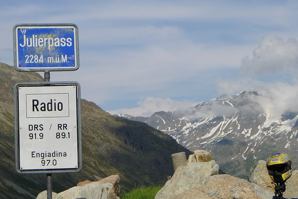
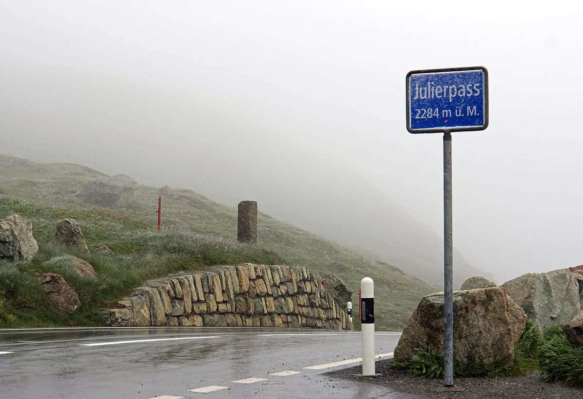
The climb is modest by Swiss standards. From Bivio you gain about 515 m to the summit. From Silvaplana you gain about 469 m over 7.1 km. Grades reach just under 12% on both sides, but expect bends and mountain weather rather than extreme hairpins. A pass-altitude sign marks the top, which makes a natural photo stop. Bivio to Silvaplana is a short crossing of well under an hour at a steady pace; traffic, snow and roadworks will stretch it, so allow extra time on winter days. Road history helps explain the route. Car traffic over Julier dropped after the Albula railway opened in 1903. In 1923 the federal government required Graubünden to open a through route for cars, and the canton chose Julier. The road was then expanded between 1935 and 1940, becoming the first Swiss alpine road with an asphalt surface.
The Silvaplana side is only 7.1 km from lake to summit, so it is the gentler choice for a first winter crossing.
The Summit: Roman Columns and a Watershed
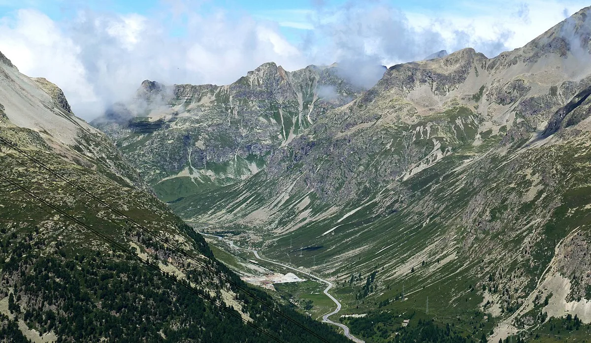
The top of the Julier is bare and windswept, but it has more history than most Swiss passes. Two large soapstone columns stand beside the modern road. Excavations in the 1930s showed they were part of a Roman sanctuary, a reminder that this route over the Alps is close to 2,000 years old. The summit is also a drainage divide: water on the north side flows to the Rhine, water on the Engadin side to the Inn and on to the Danube.
- Park only in the marked area at the top; the road is a main route and carries trucks and coaches all year.
- Allow 10 to 15 minutes for the columns and a photo of the summit sign.
- On the Silvaplana side, the lake views open up in the last kilometres of the descent, so a stop there pays off too.
- In winter the summit area is often snow-covered, so stay in the car park and keep clear of snow-clearing vehicles.
Cycling and Motorcycling the Julier
The Engadin is a cycling hub, and Julier is one of several parallel passes leading out of the valley. Cyclists face a climb of about 469 m from Silvaplana or 515 m from Bivio. Motorcyclists get a short, flowing road. On a sunny weekend, both share it with cars and coaches. Cold at the summit can catch riders out even in summer, so pack a windproof layer. Snow in shoulder seasons makes the road unsuitable for two wheels.
Cyclists leaving Silvaplana at 1,815 m face a climb of about 469 m, which ends at the 2,284 m summit.
Julier vs Albula vs Flüela vs Maloja: Which Pass for Which Trip?
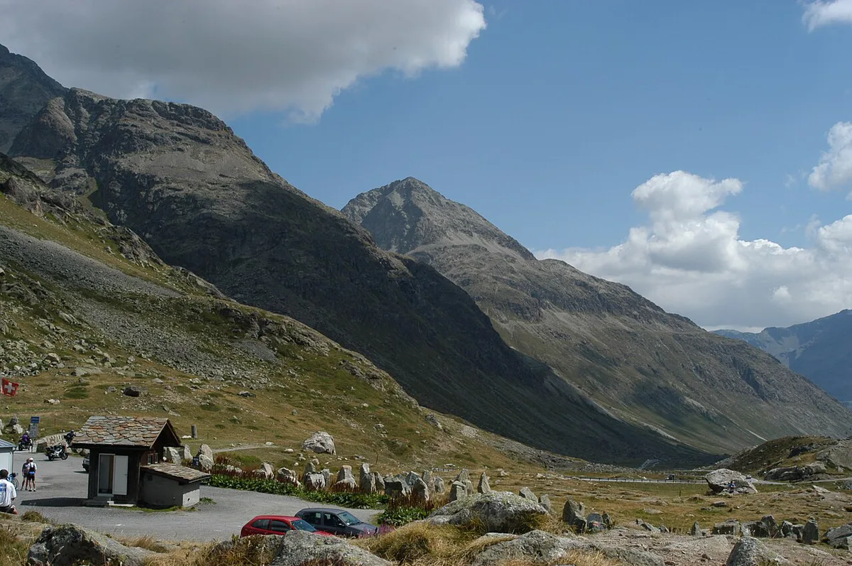
Pick Julier when you want the direct drive between Chur and the Upper Engadin in any season. The Flüela Pass suits a Davos and Lower Engadin loop in summer. The Maloja Pass: Driving Guide, Route & Season Tips leads from Silvaplana toward the Bregaglia Valley. The Bernina Pass: Route, Season, Car vs Train Guide heads south toward Italy and stays open year-round. For a full-day loop, combine Julier with Albula in one direction and return by rail.
| Pass | Connects | Summit | Season | Best for |
|---|---|---|---|---|
| Julier | Bivio and Silvaplana | 2,284 m | Year-round, no winter closure | Direct Chur to Engadin drive |
| Albula | Bergün and La Punt | 2,312 m | Closed November to June | Historic road and railway scenery |
| Flüela | Davos and Susch | 2,383 m | Usually closed January to April or May | Davos to Lower Engadin |
| Maloja | Upper Engadin and Bregaglia | See our Maloja guide | Year-round | Bregaglia Valley access |
| Bernina | Pontresina and Poschiavo | 2,328 m | Year-round, kept open since 1965 | Crossing toward Poschiavo and Italy |
Best Stops and Things to Do Nearby
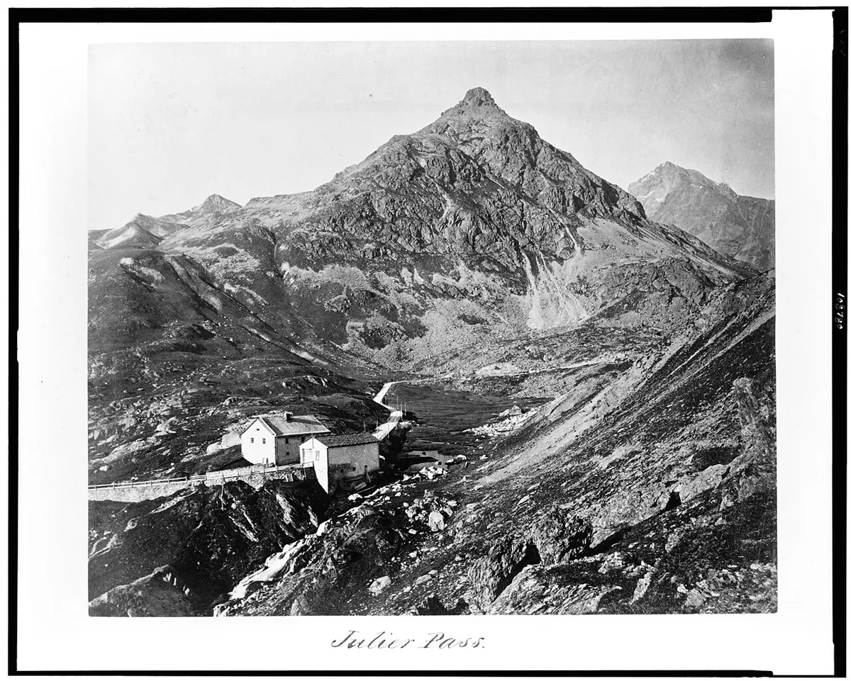
The pass is mostly a transit route, so plan stops at either end. Allow time at each rather than expecting a large attraction on the summit.
- Silvaplana: lakeside walk and coffee, a short stop of about an hour
- St. Moritz: base town with rail links, a half-day or longer
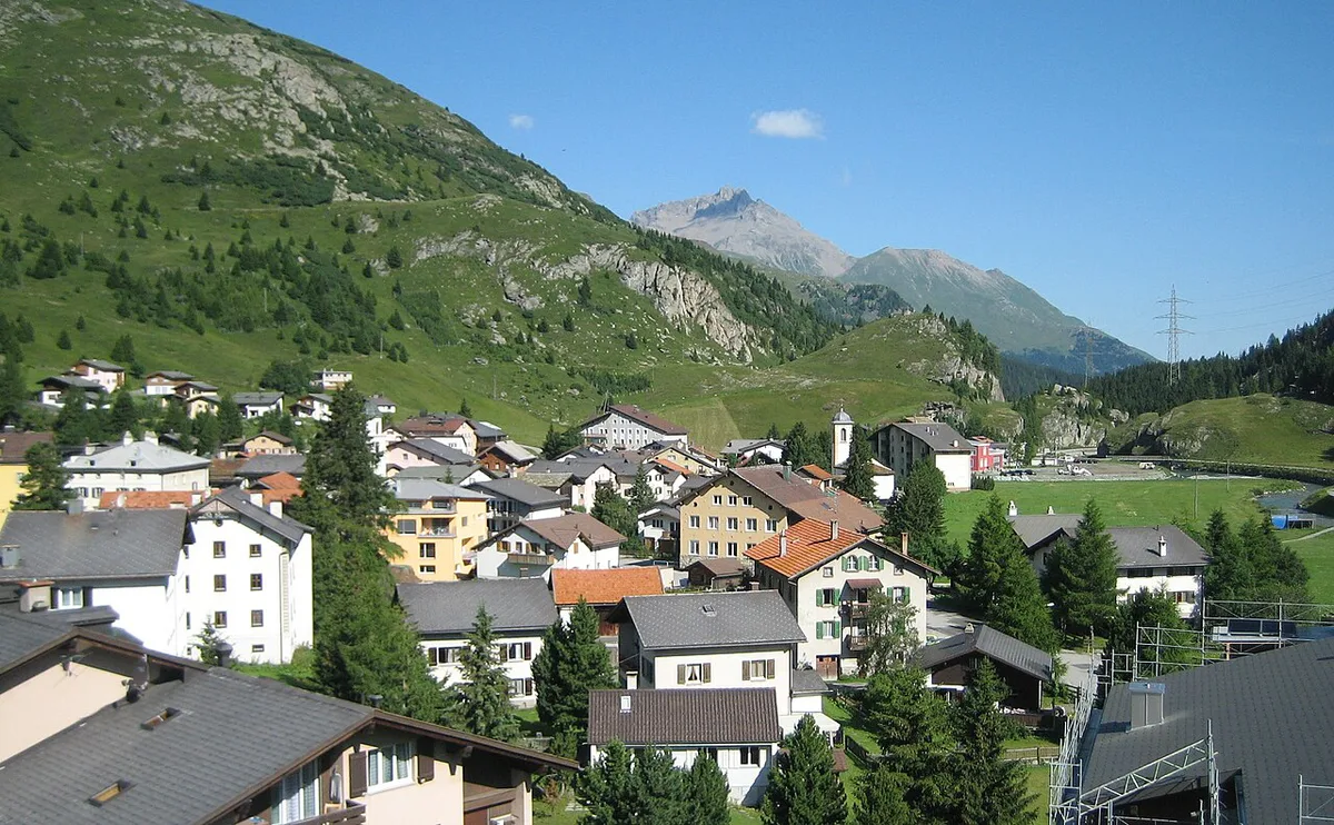
- Bivio: quiet village at 1,769 m, a short stop
- Savognin: on the road toward Tiefencastel, a short stop on the way to Chur
- Bernina Express from St. Moritz to Tirano: a separate full-day rail trip
Costs, Fuel and Practical Logistics
The pass road itself carries no ticket. Buy the motorway vignette through the official Swiss e-vignette if your route uses motorways.
Common Mistakes and Who Should Skip It
Most problems come from planning, not the road itself. Skip Julier if you dislike mountain driving in snow or have under half a day and only want a view.
- Driving on summer tyres in winter conditions
- Assuming the road is open or shut without checking status
- Trusting GPS time estimates on snowy or busy days
- Expecting services at the summit
- Combining too many passes into one short day
More Graubünden and Swiss Pass Drives
If Julier whets your appetite, the Splügen Pass is another Graubünden option. The Gotthard Pass: Route, Tremola Road and Tunnel Choice is a longer trip toward Ticino.
Road-rule changes worth knowing
Optional updates to our guides.
You might also like

Continue reading
More guides you'll find useful