
Splügen Pass: Season, Road Conditions & Route Guide
Planning the Splügen Pass between Switzerland and Italy? Season, vehicle limits, hairpin sections, hikes and loop ideas for drivers and cyclists.
On this page
Last updated November 2026. The Splugen Pass (Splügenpass in German, Passo dello Spluga in Italian) links Splügen in Graubünden with Chiavenna in Lombardy over 39 km (about 24 miles). It is paved, two-lane and closed in winter, and it suits confident drivers, motorcyclists and road cyclists. Below you will find season logic, vehicle limits, side-by-side driving notes and loop ideas within our wider guide to the 14 Swiss Mountain Passes: Choose, Time and Route.
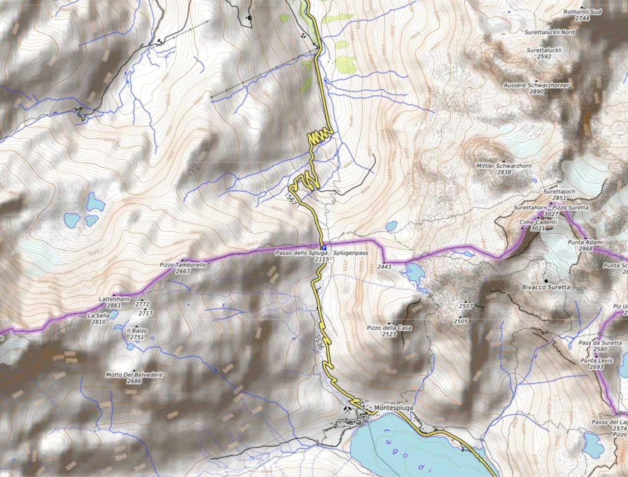
Featured image: DescriptionCol du Splügen OSM.png This map was created from OpenStreetMap project data, collected by, CC BY-SA 4.0, via Wikimedia Commons.
Splügen Pass at a Glance
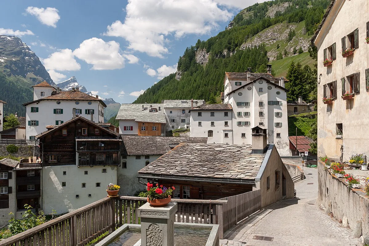
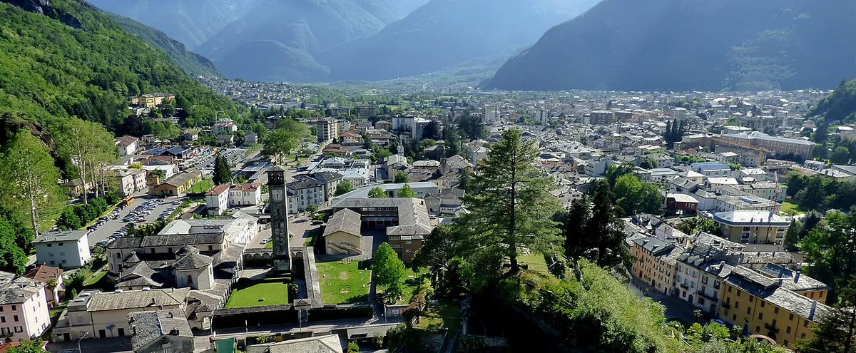
Splügen sits in the Rheinwald valley, and the road climbs south to the Italian border before dropping toward Chiavenna in the Province of Sondrio. Chiavenna is the gateway to Lake Como. Sources give the summit as 2,113 m or 2,115 m, so treat it as about 2,115 m (roughly 6,940 ft). Expect a long day of focused driving rather than a quick hop.
| Fact | Detail |
|---|---|
| Connects | Splügen (Graubünden) and Chiavenna (Lombardy) |
| Length | 39 km (about 24 miles) |
| Summit | About 2,115 m (about 6,940 ft) |
| Maximum gradient | 13% |
| Surface | Paved, two lanes throughout |
| Season | Closed in winter, roughly November to May |
| Best for | Confident drivers, motorcyclists, road cyclists |
When Is Splügen Pass Open?
Winter closure has applied since the Second World War, and the road is not a winter route. Opening dates are not fixed. In recent decades the pass has opened anywhere from mid-April to mid-June, and it has closed between early November and late December. Early-season and late-season trips therefore need a live check, which you can make through the TCS pass status pages. If the road is shut, the nearest fallback is the San Bernardino crossing from Hinterrhein, which is also seasonal on its old pass road.
| Window | What to expect | What to do |
|---|---|---|
| November to April | Winter closure is the default | Plan another route |
| Late April to mid-June | Opening date varies by year | Check live status the day before |
| Mid-June to October | Most reliable weeks | Still check for rockfall or works |
| Late October to December | Closing date varies by year | Allow a backup route |
Driving the Pass: Swiss Side vs Italian Side
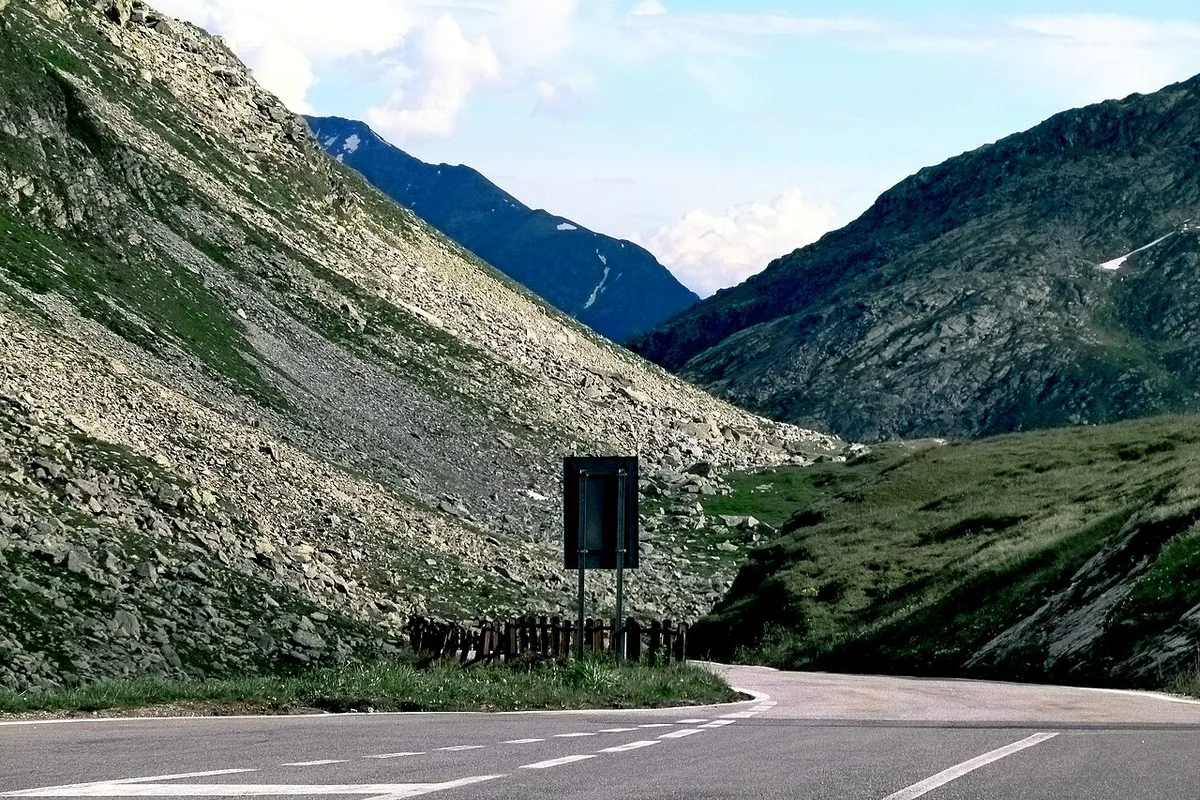
Swiss side: the upper third toward the summit is the hard part. Narrow hairpins and steep ramps can feel stressful in traffic, especially for less experienced drivers. Italian side: one section offers a choice between the old winding road and a newer, better-built route. Lower down toward Chiavenna you will find typical Italian bars for coffee stops. Start with a full tank and a light schedule, since there is no passing lane to rely on. Nervous drivers should head north to south, so the tightest bends come early while concentration is fresh.
Vehicle Limits: Camper Vans, Caravans and Coaches
Signs on the Swiss approach list limits that matter for large vehicles. Check them against the Graubünden tourism and road information before you commit. Coaches need a permit from the cantonal police, who publish the application forms.
- Maximum weight: 18 t (about 40,000 lb)
- Maximum width: 2.3 m (about 7.5 ft)
- Trailers: banned on heavy motor vehicles
- Coaches: 2.55 m wide (about 8.4 ft) and 10 m long (about 33 ft) allowed with a permit
- Caravans and long camper vans: the hairpins make these a poor fit, so choose a tunnel route instead
Best Routes and Loop Ideas
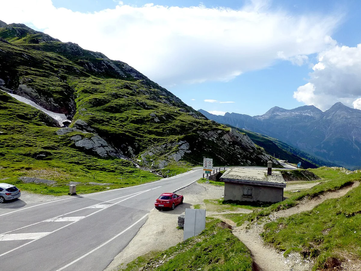
Splügen pairs naturally with its neighbours. From Chiavenna you can continue over the Maloja climb into the Engadin. Engadin extensions can add the Bernina road or the Julier road in one longer trip. A Lake Como detour suits travellers who want lakeside time after the descent.
| Option | Best for | Trade-off |
|---|---|---|
| Splügen to Chiavenna, return same way | Day trips from Chur or Lake Como | Hairpins twice |
| Splügen, Chiavenna, Maloja, Engadin | Motorcyclists, multi-day loops | Two seasonal passes to check |
| Hinterrhein and San Bernardino instead | Backup when Splügen is shut | Different scenery, shorter climb |
| Splügen only as a hike or ride | Cyclists and walkers | Needs fitness, not a vehicle |
Hiking and Cycling Around Splügen
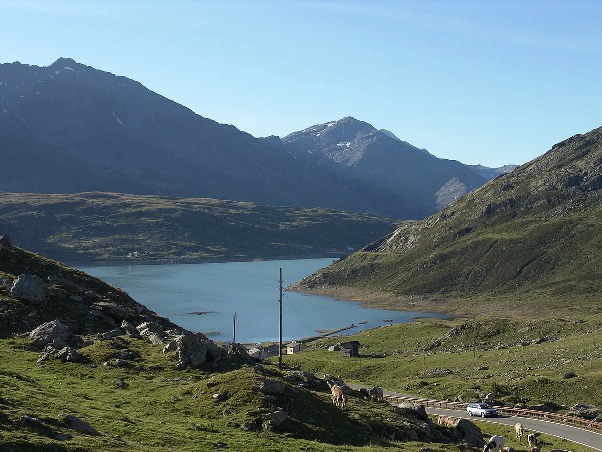
Splügen village at 1,460 m is a practical base for walkers. Komoot user routes list three options. Skip the Montespluga loop if you lack strong fitness, since it runs 21.6 km with 910 m of ascent. Moderate routes correspond roughly to SAC 2–3 on the Swiss Alpine Club scale. Route data is user-submitted, so check it before you set out. Road cyclists can also ride the pass itself, though traffic on the upper hairpins calls for patience.
Riders comparing the Montespluga loop with the pass should note its 21.6 km with 910 m of ascent is a full day, not a warm-up.
| Route | Distance | Time | Ascent | Level |
|---|---|---|---|---|
| Splügen to the Suretta Lakes | 12.8 km | about 4h39 | 810 m | Moderate |
| Sufnersee dam wall loop | 13.5 km | about 3h48 | 270 m | Moderate |
| Splügen to Montespluga loop | 21.6 km | about 7h42 | 910 m | Hard |
Splügen Village and Where to Base Yourself
Splügen was a typical mountain pass village, where merchants stopped before moving north or south. A mule-train trade grew through the Viamala gorge, and the trail became a carriage road between 1818 and 1823. Traffic collapsed after the Gotthard Railway opened in 1882. Old warehouses, customs posts and Walser houses still shape the village. Lodging details change often, so look at the MySwitzerland listings for current options. Staying in Splügen gives a morning start before the upper hairpins.
Splügen village at 1,460 m sits well below the summit, so the climb to the pass starts from a lower altitude than the 2,115 m top.
Crossing Into Italy: What to Check
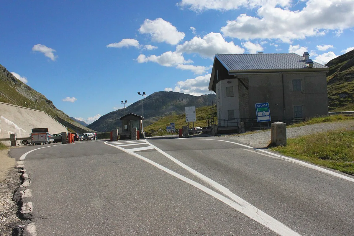
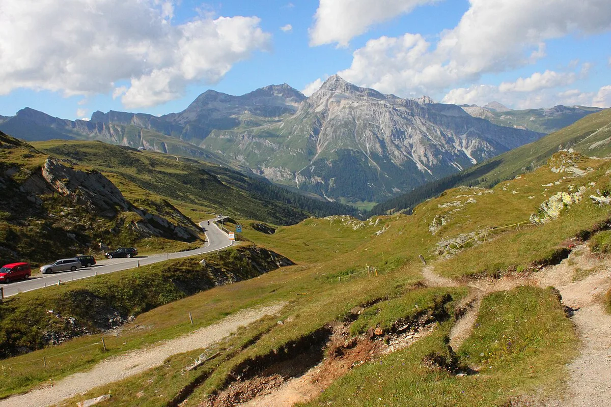
This is a Switzerland–Italy border crossing, so carry passports or national ID cards for everyone in the car. Swiss motorway rules affect your approach, and the official Swiss e-vignette site explains the sticker. Chiavenna may apply local traffic zones or low-emission rules, so read the town's notices before you park. Fuel up in Splügen before you leave, and confirm roaming plans for your phone.
- Passports or ID for every passenger
- Swiss vignette if you reach the pass via a motorway
- Italian local traffic zone rules in Chiavenna
- Fuel and food stops before the climb
Common Mistakes to Avoid
Shoulder-season trips fail most often because travelers assume the road is open. Towing a caravan is the second error, since trailers face restrictions on heavy vehicles. Underestimating the upper hairpins on the Swiss side catches many drivers out. Treating the pass as a winter shortcut will leave you facing a closed barrier. For other crossings, compare the Gotthard route, the Great St Bernard crossing and the Oberalp road.
Frequently Asked Questions
What is the name of the mountain pass that connects Switzerland and Italy?
Several do. Splügen Pass joins Splügen in Graubünden with Chiavenna in Lombardy. Great St Bernard Pass links Bourg-St-Pierre with the national border.
What are the most beautiful mountain passes in Switzerland?
Taste varies, so compare routes by season and difficulty. Our guide to Swiss alpine road crossings lines up the main options. Splügen suits drivers who want hairpins and an Italian descent.
Road-rule changes worth knowing
Optional updates to our guides.
You might also like

Continue reading
More guides you'll find useful