
Bernina Pass: Route, Season, Car vs Train Guide
Plan the Bernina Pass: how to cross by car or Bernina Express, when it is open, key stops, and who should skip it.
On this page
Last updated November 2026. The Bernina Pass is a high Alpine crossing in Graubünden that links the Engadin, on the Pontresina side, with Valposchiavo and Tirano. Road and rail run side by side over the top, so you can choose your mode on the day. This guide covers season, route, stops and who should skip it, and it sits within our overview of all Swiss mountain passes.
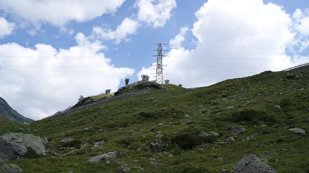
Featured image: Asurnipal, CC BY-SA 4.0, via Wikimedia Commons.
Bernina Pass at a Glance
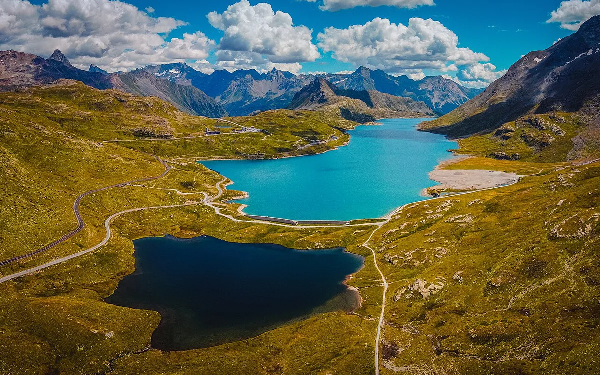
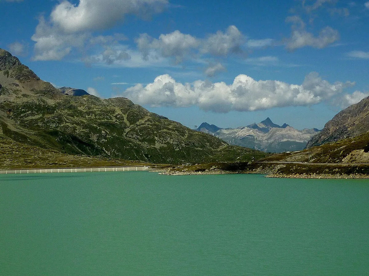
Bernina Pass crosses the Alps from the Engadin to Valposchiavo, then continues to Tirano in Italy. Ospizio Bernina is the main stop at the top. Two lakes sit on the crest: Lej Nair drains north to the Inn and the Danube, while the milky-green Lago Bianco, fed by the Cambrena glacier, drains south toward the Po. The road's highest point is 2,328 m, a little east of the 2,235 m pass saddle, and the railway tops out at Ospizio Bernina station, 2,253 m. Summit signs quote different figures for that reason.
- Canton: Graubünden (Grisons)
- Connects: Engadin (Pontresina side) with Valposchiavo and Tirano
- Rail and bus stop: Ospizio Bernina
- Main lake stop: Lago Bianco
- Road summit: 2,328 m; railway summit: Ospizio Bernina station, 2,253 m
- Season: open all year, kept clear of snow since 1965
- Toll: none; the pass road is not a motorway, so no vignette is needed on it
Is the Bernina Pass Open? Season and Road Status
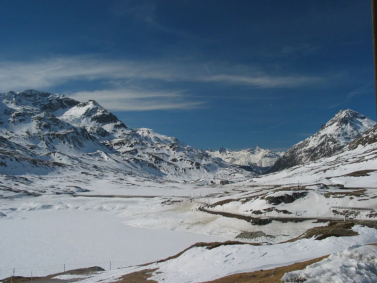
Yes, in principle all year. The Bernina road has been kept open through the winter since 1965, even though snow lies on the crest for about eight months. Heavy snowfall or avalanche danger can still close it for hours or longer. The railway has crossed the pass since 1910 and has run in winter since 1913, so a closed road does not always mean a closed route. Look at live road status on the TCS pass status page before you leave Pontresina or Poschiavo. Status checked November 2026. From late autumn to spring, carry winter tyres and chains, and ask your rental company what the car carries.
Car, Bernina Express, Bus or Bike: Which Fits You
Pick your mode by flexibility, weather tolerance and how much of the day you want to spend driving. The table compares the four options.
| Mode | Best for | Trade-off | Weather risk | Booking |
|---|---|---|---|---|
| Car | Free photo stops and detours | You drive every bend yourself | Snow or fog can close or slow the road | None; check road status |
| Bernina Express | Views without driving | Fixed timetable, fewer stops | Lower; the line has run in winter since 1913 | Seat reservation required on every train |
| Regional train or bus | Cheaper, flexible hop to Ospizio Bernina | Slower, less commentary | Lower than driving | No reservation; standard ticket |
| Bike or e-bike | Fit riders who want a slow crossing | Long climb, cold at the top | High; wind and cold | None; plan the return |
Route and Best Stops: Pontresina to Tirano
Going south, you leave Pontresina and climb toward the pass. Diavolezza-Lagalb sits in the same area, and the Diavolezza cableway, open since 1956, suits visitors who want a glacier-view detour. Lej Nair is a small lake right beside the pass, good for a ten-minute photo stop. Ospizio Bernina has a railway station, a bus stop and Albergo Ospizio Bernina, so plan coffee or lunch there. Lago Bianco is the longer stop, since you can walk along the shore. Beyond that, you descend into Valposchiavo to Poschiavo, then on to Tirano. Driving the reverse direction gives the same stops in the opposite order. Heading north means the lake comes before the summit signs.
Lej Nair sits right on the crest beside the road, so a ten-minute photo stop there is an easy addition to the route.
How Much Time to Allow
Plan half a day for a relaxed crossing with two or three stops. A fast drive with no stops takes much less, but you lose the reason to come. These are approximate ranges that depend on stops and traffic. Add extra time if you continue into Italy or return the same way. Look up exact driving and rail times on a current map or the operator's timetable.
Costs, Reservations and Border Notes
Swiss pass roads carry no toll, and the Bernina road is not a motorway, so the drive itself is free. You need the official Swiss e-vignette only if you reach the Engadin on a motorway. Bernina Express fares vary by season and class, and every seat needs a reservation, bought with the ticket or as a supplement to a regional ticket. Tirano is in Italy, so carry your passport or ID card and expect separate Italian fuel and parking costs. Fill your tank before the climb.
Road and Railway Side by Side: The Numbers
The Bernina is unusual because the road and a metre-gauge railway cross the same pass within sight of each other. The table sets out how the two compare, which helps if you want to drive one way and ride back.
| Feature | Pass road | Bernina railway |
|---|---|---|
| Highest point | 2,328 m | 2,253 m at Ospizio Bernina station |
| Open in winter | Kept open since 1965 | Running in winter since 1913 |
| Steepest grade | Up to 10% | 7% |
| Through service | Pontresina to Poschiavo and Tirano | Bernina Express from Chur or St. Moritz to Tirano, about 4 hours from Chur |
| Status | Main road over the pass | Part of the Albula and Bernina lines UNESCO World Heritage Site, listed in 2008 |
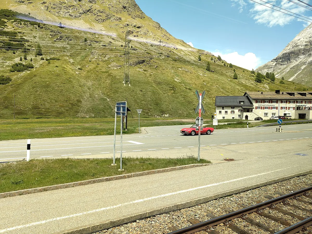
A practical way to use both: drive from Pontresina to the summit, park, and ride a regional train down to Alp Grüm or back, then return to the car. Regional trains stop at Ospizio Bernina and need no seat reservation, unlike the Bernina Express, which runs the same track with panoramic cars.
Where to Base Yourself
Pontresina is the natural Engadin base for the northern approach. Albergo Ospizio Bernina puts you at the summit, near the station and Lago Bianco. Poschiavo suits an overnight in Valposchiavo, and Tirano works if you plan to continue into Italy. Browse the regional options on Graubünden's tourism site.
Common Mistakes and Who Should Skip It
Avoid these mistakes when planning your crossing.
Lago Bianco sits 1.1 km from the pass point, so give yourself time for the walk along its shore rather than a quick look.
- Assuming the pass is open all year without checking road status
- Arriving at the top low on fuel
- Planning the Tirano side with no return plan
- Driving in shoulder seasons without winter equipment
- Underestimating photo-stop time at Lago Bianco and Ospizio Bernina
- Skip the drive if you are a nervous mountain driver in poor weather, if your schedule is tight, or if the rail route already covers what you want.
Combining Bernina With Other Graubünden Passes
The Julier Pass Guide: Route, Opening, Driving Tips and Maloja Pass: Driving Guide, Route & Season Tips lead from the Engadin toward other valleys. Add the Flüela Pass if you are heading toward Davos. The Splügen Pass and San Bernardino Pass: Driving, Season and Tunnel Option open routes south from the Rhine side. For another famous crossing, see the Gotthard Pass: Route, Tremola Road and Tunnel Choice. Compare them all in our Swiss mountain passes guide.
Frequently Asked Questions
Is the Bernina Express train worth it?
Yes, if you want the scenery without driving. You trade flexibility for views and a fixed timetable.
Where does the Bernina Express start and end?
It runs between Chur and Tirano, with a second branch from St. Moritz, and crosses the pass at Ospizio Bernina. The full trip from Chur takes about four hours.
How far in advance do you need to book the Bernina Express?
Every Bernina Express seat needs a reservation, bought with the ticket or as a supplement to a regular ticket. Book as soon as your date is fixed in summer, when trains fill first.
Road-rule changes worth knowing
Optional updates to our guides.
You might also like

Continue reading
More guides you'll find useful