
Grimsel Pass: Opening Dates, Route & Planning Guide
Check when Grimsel Pass is open, how to drive or reach it by postbus, the best stops and hikes, and how to combine it with Furka and Susten.
On this page
Last updated November 2026. Grimsel Pass links the Haslital in the Bernese Oberland with Obergoms in Upper Valais, and it is one of the key crossings in our Swiss mountain passes guide. It is a seasonal road that usually opens from May and closes again by the end of October or early November. Check live status on the day you travel, then use this page to plan the route, the stops and a fallback.
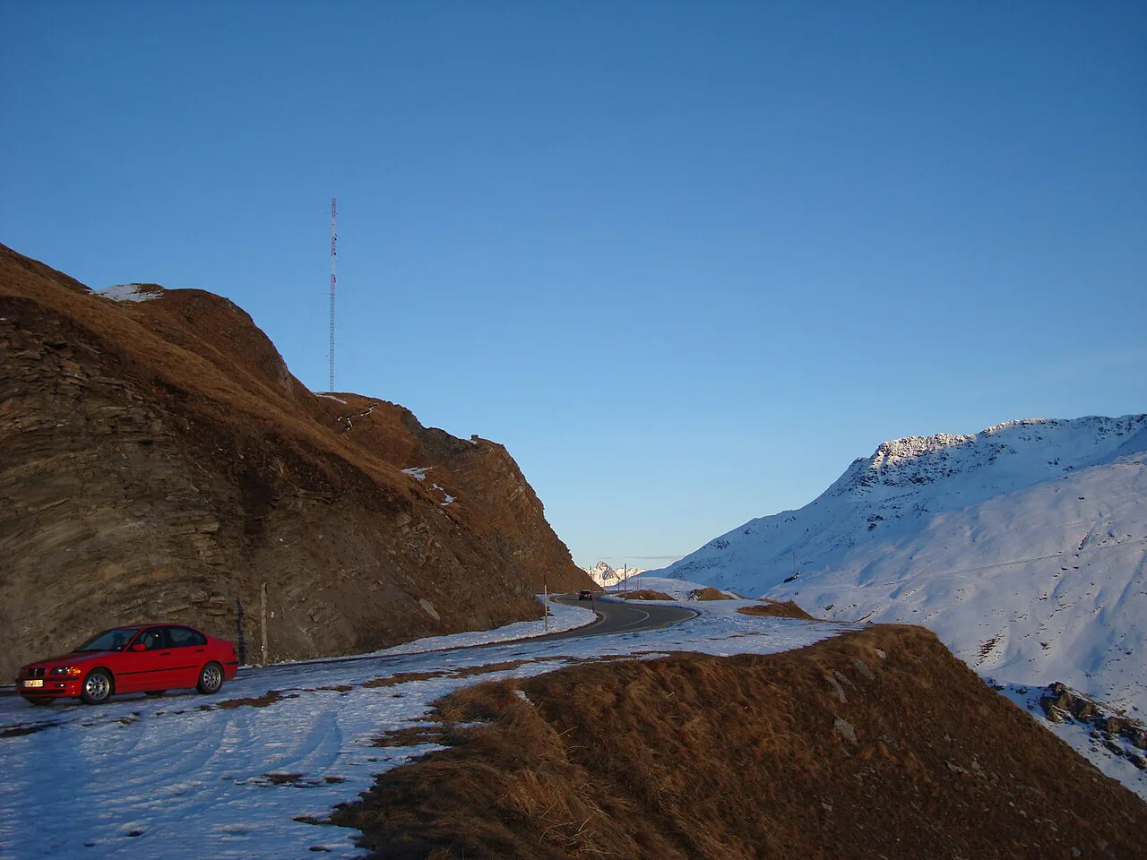
Featured image: Daniel Reust, CC BY-SA 4.0, via Wikimedia Commons.
Grimsel Pass at a glance
Grimsel Pass tops out at 2,164 m (about 7,100 ft). The paved road runs 38 km (about 24 miles) between Guttannen on the Bern side and Gletsch in Valais. Gletsch is about 16 km from the summit of Furka Pass. Grimsel is also a watershed. Water on the south side feeds the Rhône and the Mediterranean, while water on the north side feeds the Aare, the Rhine and the North Sea.
- Cantons: Bern (Haslital) and Valais (Obergoms, Goms)
- High point: 2,164 m
- Road: 38 km, Guttannen to Gletsch
- Usual season: May to late October or early November
- Summit bus stop: Grimsel Passhöhe
Is Grimsel Pass open? Season and live status
Grimsel Pass normally opens in May and closes between the end of October and early November. Winter snow and avalanche risk keep it shut for the rest of the year. Exact dates change every year, so treat May to October as a planning window and not a promise. Early and late in the season, expect snow to close the road at short notice. On the day you travel, check the TCS pass status page. The Swiss Federal Roads Office publishes national road information too. Look at the weather forecast the evening before as well.
- Before you leave: check the status page and the forecast.
- Same morning: re-check status, and fuel up in the valley.
- If closed: switch to a rail or road alternative below.
How to get to Grimsel Pass and which direction to drive
From Valais, drive to Gletsch in Obergoms. The Grimsel road starts like the Furka road, so turn left at the fork for Grimsel and go straight for Furka Pass: Season, Drive Time & How to Plan It. From Bern, approach through Meiringen, Innertkirchen and Guttannen. A postbus also runs to Grimsel Passhöhe from Meiringen and Oberwald. Timetables are seasonal, so check the Swiss public transport timetable before planning around it. Driving south from Guttannen puts the reservoirs and the hairpins ahead of you, and coming from Gletsch puts the summit lakes first. Pick the direction that fits your overnight stop.
| Option | Flexibility | Weather exposure | Best for |
|---|---|---|---|
| Car | High, stop anywhere | Low | Loop trips and photo stops |
| Motorbike | High | High | Experienced riders on dry days |
| Bicycle | High but slow | High | Fit riders with a full day |
| Postbus | Low, fixed timetable | Medium | Hikers who skip the driving |
Driving the road: what to expect
Grimsel Pass is a narrow mountain road with hairpins and steep drops. Guard rails and signs mark the road. Nervous drivers should take it slowly and use the pull-outs to let faster traffic pass. The first road opened between 1891 and 1894, and the Marzoli Tunnel followed in 1985 after rockfall threatened the old line. Fill up before the climb, and start early so you are not driving the upper section in fading light. Read the forecast for fog and snow before you go. Mist can hide the lakes and the views.
- Mistake: assuming the pass is open in shoulder season.
- Mistake: starting late and rushing the stops.
- Mistake: relying on one lift for your hike plan.
- Mistake: underestimating weather changes at 2,164 m.
Best stops along the pass
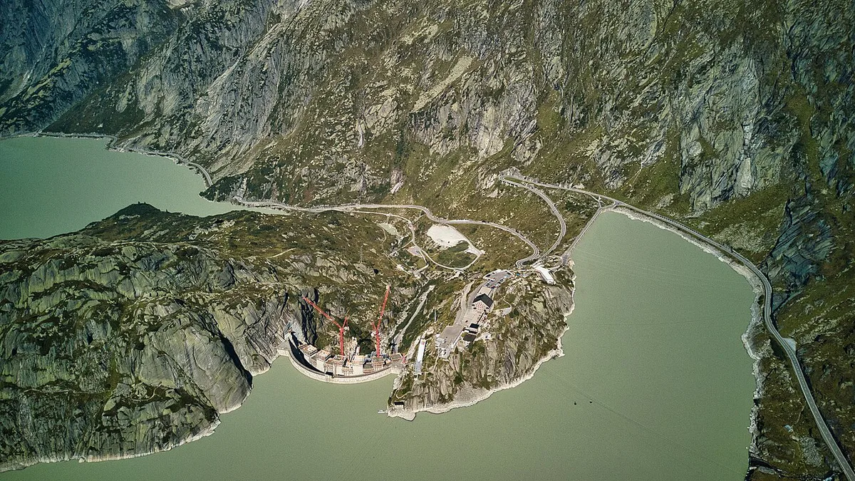
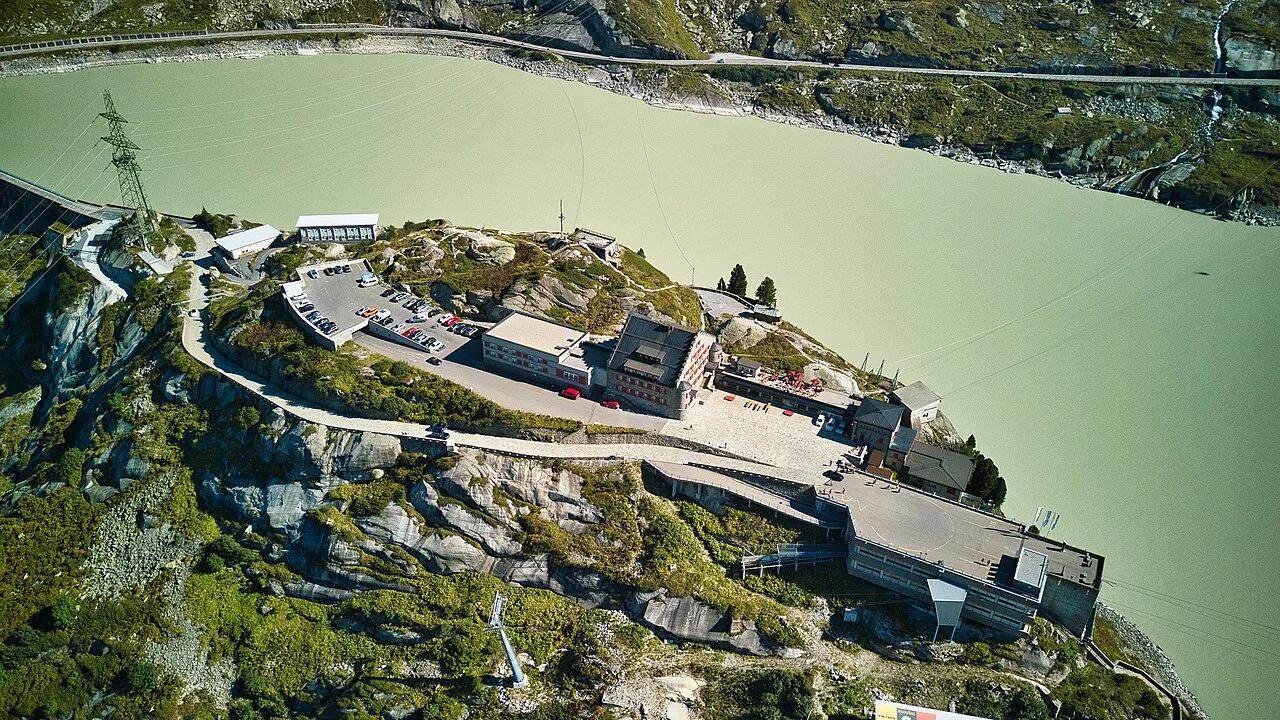
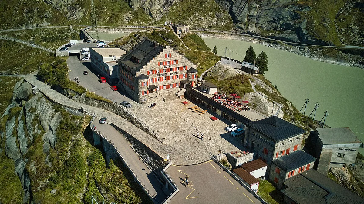
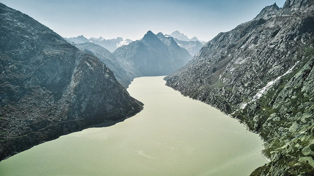
Stops follow the route from north to south. Räterichsbodensee and Grimselsee are reservoirs near the Bern side, and both give lake views from the road. Handeck is the base for the Gelmerbahn, a steep open funicular that reaches Gelmersee in 12 minutes. Grimsel Hospiz sits above Grimselsee and is the start for lifts and hikes. At the summit, Totensee lies beside the pass and the Murmeltierpark Grimselpass is nearby. Check the park and each lift on its operator's site before you go. Summer is the safest season for all of these stops.
- Räterichsbodensee and Grimselsee: roadside viewpoints, short stops.
- Handeck and Gelmerbahn: funicular to Gelmersee, 12 minutes each way.
- Grimsel Hospiz: lifts, hikes and a historic hotel.
- Totensee and summit: lake, marmot park and bus stop.
Hikes and bike routes from the pass
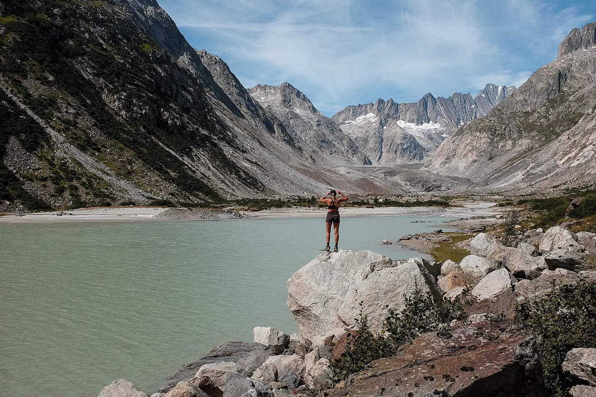
Hiking distances below are one-way figures and can be used to size your day. Add extra time for photos and weather. Do not rely on one lift to get back, because lift seasons differ. Cyclists can follow Route 772, which runs about 11 km along Totensee from Grimsel to Obergesteln.
Riding from Grimsel to Obergesteln covers about 11 km, a distance that pairs with the Totensee stop in a half-day plan.
| Route | Distance | Start | Notes |
|---|---|---|---|
| Grimsel Pass to Sidelhorn | 7.7 km | Grimsel Passhöhe bus stop | Views toward Finsteraarhorn and Schreckhorn |
| Grimsel Pass to Oberaar and the glacier | 19.7 km | Grimsel Passhöhe | Longest option, high plateau |
| Grimsel Hospiz to Oberaar | 5.7 km | Sidelhornbahn then trail | Depends on the lift running |
| Route 772 by bike | About 11 km | Grimsel | Down to Obergesteln via Totensee |
Hydropower, Hospiz and the crystal grotto
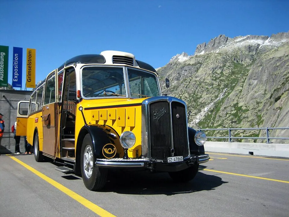
The Grimsel area is a core site for Kraftwerke Oberhasli (KWO) hydropower, and the dams and reservoirs shape the scenery. Power-station visits and the crystal grotto start from the Hospiz area and Handeck. Booking rules and tour seasons change, so read the KWO visitor page before you plan around a tour. Skip the tours if you have only a couple of hours or mobility limits, because the setting is steep and exposed.
Sample itineraries and time budgets
Use these templates and adjust them to daylight and the live status. Fix a turnaround time before you start, and keep to it if the weather changes.
Gletsch is about 16 km from the Furka summit, so the full-day loop pairs the two passes.
- Pass-through (about 2 hours): drive across with one stop at Grimselsee. Skip if fog or snow is forecast.
- Half day: add Gelmerbahn at Handeck and Totensee at the summit. Skip with young children or low mobility.
- Full day loop: Grimsel, then Furka Pass: Season, Drive Time & How to Plan It from Gletsch. Drivers can extend to Susten Pass: Season, Driving Route and Tips. Skip if you have a tight schedule.
Where to stay and eat nearby
Staying high means a night at Grimsel Hospiz, with early light and quiet evenings, but fewer options. Valley bases give more choice. Choose Guttannen, Innertkirchen or Meiringen for the Bern side. Choose Oberwald, Gletsch or Goms for the Valais side. Sleeping in the valley lets you check the road in the morning before you commit. Check each hotel's season, because high-altitude lodges close in winter.
Grimsel vs other Swiss passes
Choose Grimsel for reservoirs, hydropower and a short link between Bern and Valais. Choose Furka for the neighbouring crossing with a different mood. Susten adds a third pass to a day loop. Nufenen and Gotthard point you toward Ticino. Local tourism information is on MySwitzerland.
| Pass | Choose it when | Guide |
|---|---|---|
| Furka | You want the loop partner from Gletsch | Furka Pass: Season, Drive Time & How to Plan It |
| Susten | You want a third pass in one day | Susten Pass: Season, Driving Route and Tips |
| Nufenen | You are heading on toward Ticino | Nufenen Pass: Season, Directions and Driving Tips |
| Gotthard | You want the main route south | Gotthard Pass: Route, Tremola Road and Tunnel Choice |
| Klausen | Grimsel is closed and you need another crossing | Klausen Pass: Route, Opening Season & Travel Tips |
Frequently Asked Questions
Is the Furka Pass worth it?
Yes, if you want a second pass on the same day. Furka starts from the same fork at Gletsch, so the two combine easily. Read our Furka Pass guide for the route details.
Road-rule changes worth knowing
Optional updates to our guides.
You might also like

Continue reading
More guides you'll find useful