
Nufenen Pass: Season, Directions and Driving Tips
Planning Nufenen Pass? Check when it opens, which direction to drive, bike and motorcycle tips, and how to link it with Furka and Grimsel.
On this page
Last updated November 2026. Nufenen Pass (Italian: Passo della Novena) links Ulrichen in the Upper Valais with Airolo in Ticino, and it is among the high roads in our Swiss mountain passes guide. It is described as the highest fully paved pass road wholly inside Switzerland. Below you will find opening checks, direction advice, mode-specific tips and loop ideas.
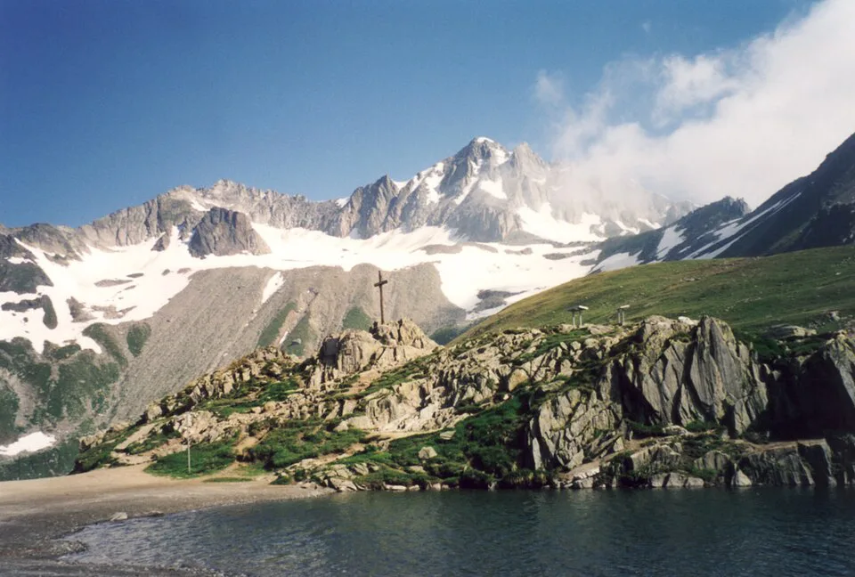
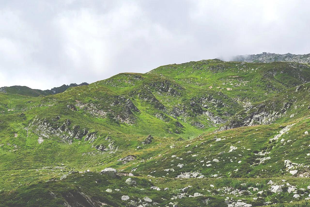
Featured image: Wikimedia Commons, CC BY-SA 2.5, via Wikimedia Commons.
Nufenen Pass at a glance
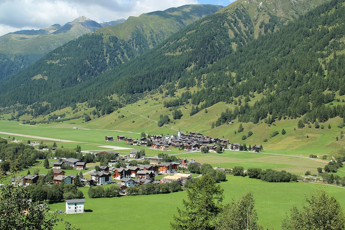
Nufenen Pass connects Ulrichen in the Goms valley (Valais) with Airolo in Ticino. Route data for the Ticino-side climb gives a length of 22 km (about 13.7 miles). That ascent starts near 1,212 m (about 3,976 ft) and tops out at 2,480 m (about 8,136 ft), a gain of 1,268 m (about 4,160 ft). Average gradient is 5.6% and the steepest section reaches 8.9%. Before you quote the elevation or the record claim, check them against MySwitzerland. Figures here describe the Ticino side only, and the Valais side may differ.
| Fact | Detail |
|---|---|
| Italian name | Passo della Novena |
| Connects | Ulrichen (Valais) and Airolo (Ticino) |
| Summit elevation | 2,480 m (about 8,136 ft) |
| Ticino-side climb | 22 km, 5.6% average, 8.9% maximum |
| Season | Closed in winter; dates shift with snow |
When Nufenen Pass is open and how to check
High Alpine passes close in winter, and Nufenen is one of them. Opening and closing dates move from year to year with snowfall, so no fixed date is safe to plan around. Look at the TCS pass status page on the morning you drive. Road authorities publish closures through the Swiss Federal Roads Office as well. Early-season and late-season trips carry the highest risk of a shut barrier. If Nufenen is closed, switch to the Gotthard road or rail route described in our Gotthard Pass guide.
Which direction to drive: Valais to Ticino or Ticino to Valais
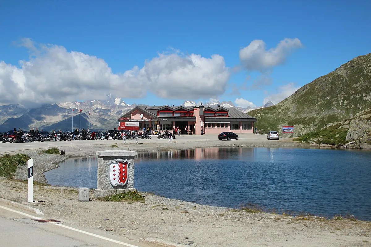
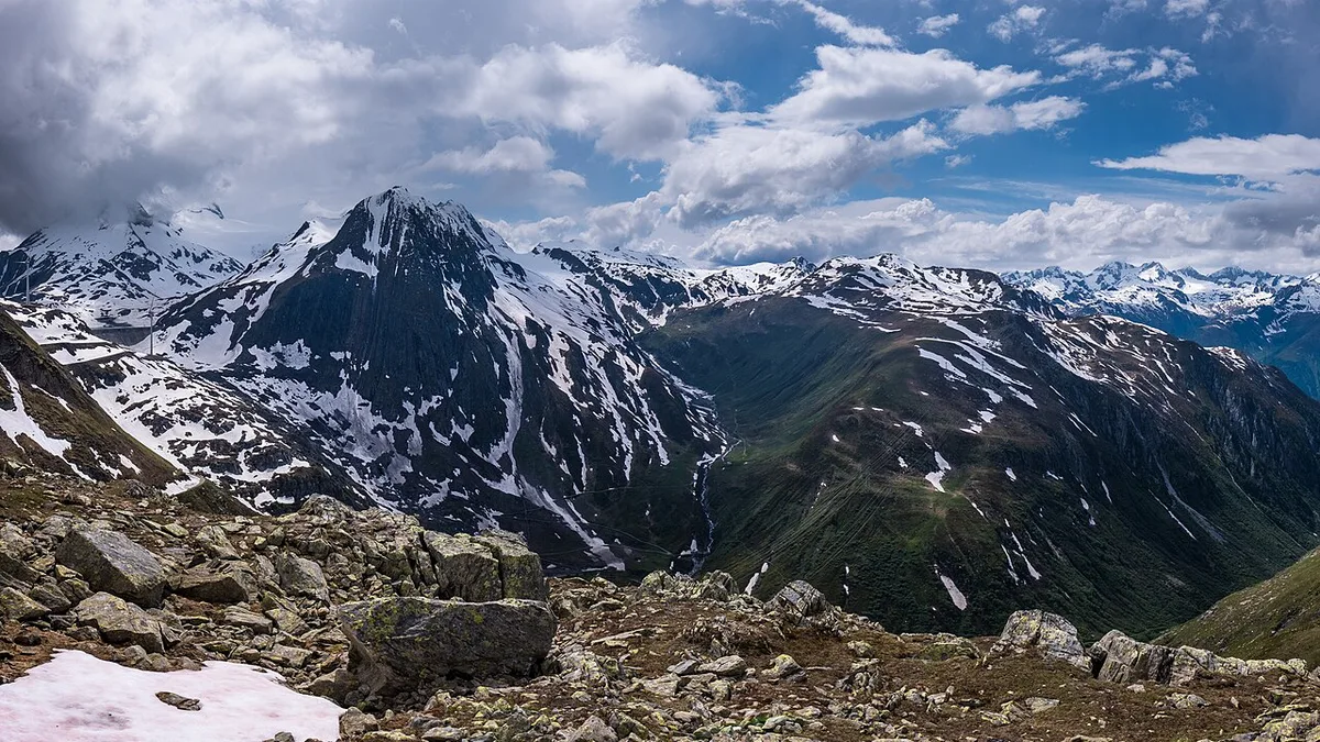
Both directions work, and neither has an officially ranked advantage. Starting from Ulrichen puts you on the Valais approach through the Goms valley, and you finish with the descent toward Airolo. Starting from Airolo gives you the Ticino ascent that the 22 km route data describes. Cyclists often prefer that climb because its profile is documented. Drivers should pick the direction that fits the day's route, then keep the afternoon for the downhill. Narrow or exposed stretches are not documented here, so scan the road ahead and use pull-outs instead of stopping on bends.
Heading up from Airolo means a gain of 1,268 m (about 4,160 ft), and the same 2,480 m summit is reached from either side.
Driving, motorcycling and cycling the pass
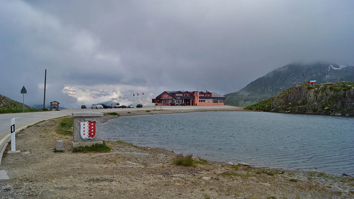
Each mode faces the same altitude, but the effort differs. Summit air is thinner and colder than in the valleys, and clouds often build later in the day.
- Car: use a low gear on the descent so the brakes do not overheat. Keep a jacket in the car, because the summit sits at 2,480 m.
- Motorcycle: bring warm layers and gloves. Start early, since cold tyres and afternoon cloud both reduce grip and views.
- Road bike: a 22 km climb at 5.6% average is a full effort. Carry a windproof layer for the descent.
- E-bike: battery range drops on long climbs in cold air. Charge fully before leaving Airolo or Ulrichen.
- Camper or trailer: check current vehicle restrictions with ASTRA or TCS before committing.
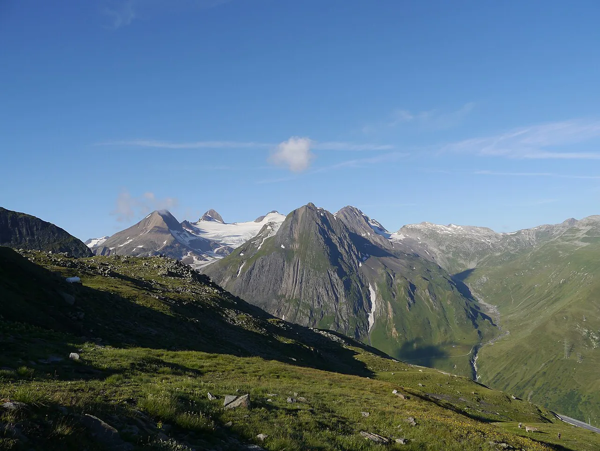
Stops, views and short walks on the route
Stops are best chosen on the day, using safe pull-outs. Lago del Naret lies roughly 14.4 km from the pass in straight-line terms, and Cascata del Toce sits across the border in Italy at about 7.9 km. Those distances are map lines, not road times. Confirm access and parking locally before you plan a detour to either. Check the summit for services before relying on food or toilets there. Carry water and snacks from Airolo or Ulrichen.
Combining Nufenen with Furka, Grimsel and Gotthard
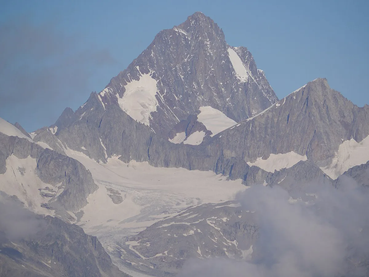
Nufenen sits close to several other famous crossings, so loops are easy to build. Our full list of Swiss passes shows more options. Use the table to compare the four main neighbours in qualitative terms.
| Pass | Character | Best for | Main constraint | Guide |
|---|---|---|---|---|
| Nufenen | Highest paved pass wholly in Switzerland | Valais to Ticino crossing | Seasonal closure | This page |
| Furka | Neighbouring Alpine crossing | Linking the Goms valley onward | Seasonal closure | Furka Pass: Season, Drive Time & How to Plan It |
| Grimsel | Neighbouring Alpine crossing | Loop building with Furka | Seasonal closure | Grimsel Pass: Opening Dates, Route & Planning Guide |
| Gotthard | Main north-south route | Fallback when others are closed | Heavier traffic | Gotthard Pass: Route, Tremola Road and Tunnel Choice |
- Valais, Ticino, Uri, Valais: cross Nufenen, return north over Gotthard, then use Furka toward the Goms valley.
- Nufenen and Grimsel: pair them as a short high-altitude day from the Valais side.
- Nufenen and Furka: a compact option if you are staying in the Goms valley.
Getting there and getting around
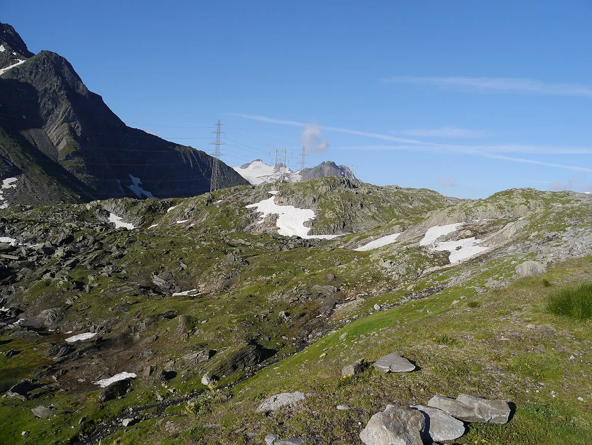
Public transport over the pass and fuel or charging points along it are not confirmed here. Check PostBus timetables and your own vehicle range, and see the official e-vignette site for motorway vignette rules.
A detour to Cascata del Toce, across the border in Italy at about 7.9 km, means refuelling or charging before you leave.
Common mistakes and who should skip it
Most problems come from timing and preparation rather than the road itself.
- Not checking closure status on the day you drive.
- Starting too late, when afternoon cloud and cold arrive.
- Underestimating cold at 2,480 m, even in summer.
- Skipping fuel or charging before the climb.
Who should skip Nufenen Pass
Nervous mountain drivers may prefer the Gotthard route. Trailers and large vehicles should confirm restrictions first. Anyone travelling very early or late in the season, or with tight timing in poor weather, should keep a fallback ready.
Road-rule changes worth knowing
Optional updates to our guides.
You might also like

Continue reading
More guides you'll find useful