
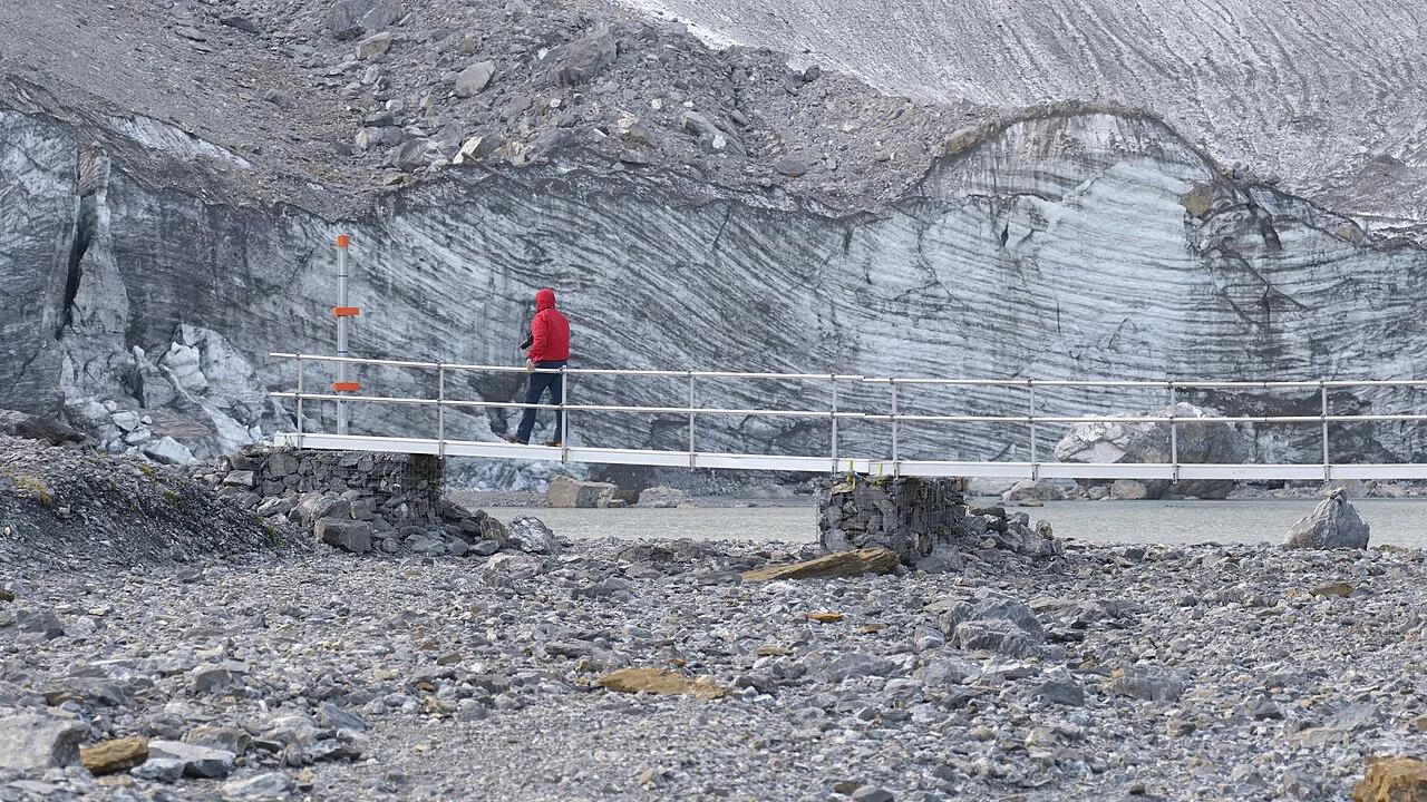
Klausen Pass: Route, Opening Season & Travel Tips
Plan the Klausen Pass between Uri and Glarus: when it opens, how to drive, ride or take the bus, key stops, and who should skip it.
On this page
Last updated November 2026: the Klausen Pass is a seasonal mountain road that links the canton of Uri with the canton of Glarus via the Urnerboden alp. Drivers, motorcyclists, cyclists and bus riders cross it between the Altdorf, Bürglen and Unterschächen side and Linthal. Our guide covers opening checks, how to pick a mode, the best stops, and when to choose another crossing from the 14 Swiss Mountain Passes: Choose, Time and Route cluster.
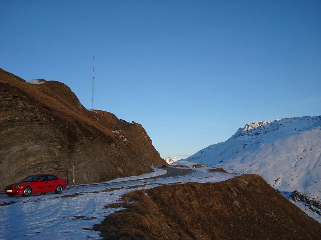
Featured image: Roy Egloff, CC BY-SA 4.0, via Wikimedia Commons.
Klausen Pass at a Glance
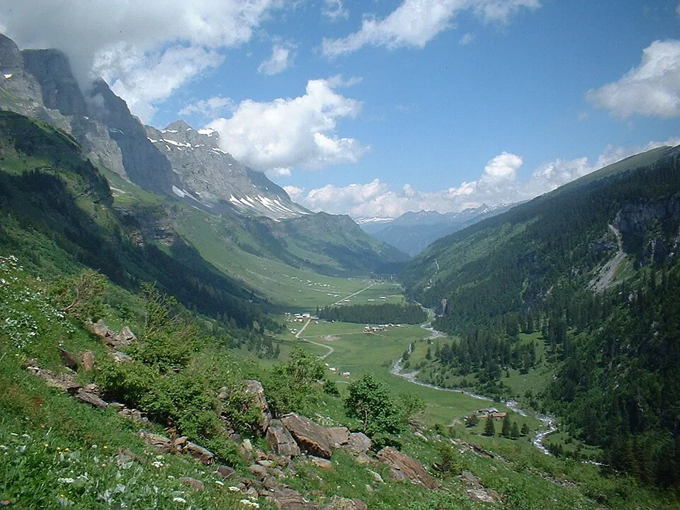
Klausen Pass is a Uri–Glarus crossing, so it suits travelers who want a quieter Alpine day than the better-known central passes offer. Summit elevation, total length and maximum gradient vary by source, so take them from the official road and mapping pages rather than from a blog. Komoot logs its Bürglen ascent segment at 24.2 km (about 15 miles) with 1,820 m (about 5,970 ft) of climbing. That figure covers the cycling segment, not the whole road.
- Connects: Uri (Altdorf, Bürglen, Unterschächen) and Glarus (Linthal) via Urnerboden
- Status: seasonal road, closed by snow in winter
- Best for: a scenic Uri–Glarus crossing by car, motorbike, bike or PostBus
- Go if: you want Alpine scenery with fewer crowds and the pass is confirmed open
- Skip if: you have a short Lucerne-only itinerary, the pass is closed, or you are towing or driving a long vehicle
When the Klausen Pass Is Open (and How to Check)
Opening and closing dates change with each snow year, and no fixed calendar date is reliable. In late November, assume the road is closed unless a live source says otherwise. Check the TCS pass status page on the morning you travel. Shoulder months bring snow, rockfall and short-notice closures, so a pass that was open last week can shut overnight. Federal road information is also published by the Swiss Federal Roads Office. On a closure day, switch to a sibling crossing such as Susten Pass: Season, Driving Route and Tips or Grimsel Pass: Opening Dates, Route & Planning Guide, and check their status too.
How to Get Over the Klausen Pass: Car, Motorbike, Bike or PostBus
Your choice depends on fitness, vehicle length and how much schedule risk you accept. Time and effort depend on traffic, weather and stops, so treat any duration as a personal estimate. PostBus service and bike carriage must be read from the official timetable, because seasonal lines change.
Bike riders also face 360 m (about 1,180 ft) of downhill on that segment, so the descent deserves the same brake planning.
| Mode | Suits | Main constraint | Planning friction |
|---|---|---|---|
| Car | Flexible day trips with photo stops | Narrow stretches and long descents | Live closure check; no towing or long vehicles |
| Motorbike | Riders who like sweeping hairpins | Weather and cold at altitude | Same closure check; gear for temperature swings |
| Bike | Strong road cyclists | 1,820 m of logged climbing on the Bürglen segment | Water, gearing and descent braking |
| PostBus | Travelers who prefer not to drive | Seasonal timetable | Check the operator's current schedule and bike policy |
Driving the Klausen Pass: Direction, Stops and Hairpin Etiquette
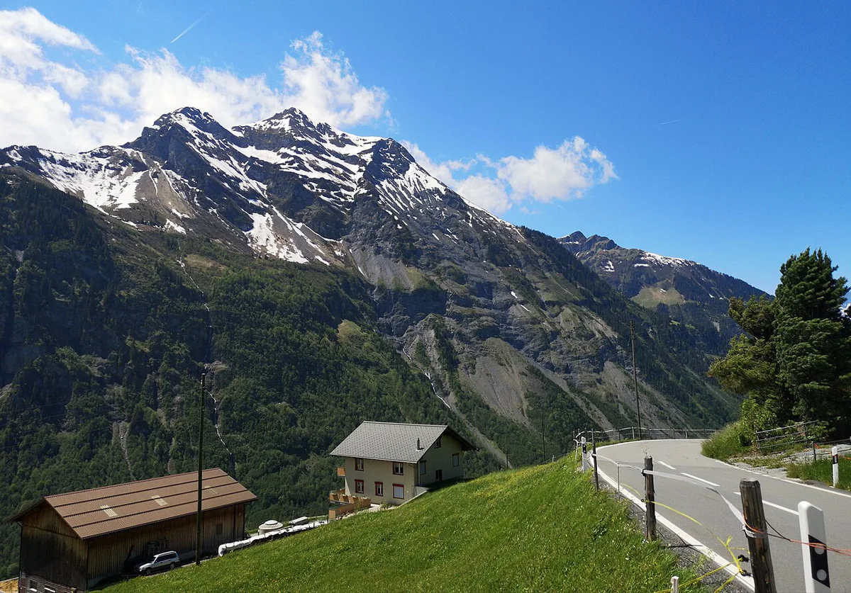
Start from Altdorf and Bürglen if you want a gradual build toward the mountain scenery. Start from Linthal if you would rather arrive in Uri for lunch and finish near the lakes. Both directions work, and the better view is an editorial judgement rather than a fact. Fill the tank and bring water before the climb, since services on the pass are seasonal. On narrow sections, slow down early, give uphill traffic room and use pull-outs rather than reversing on bends. Swiss passing rules on mountain roads should be confirmed with an official source before you drive. Use low gear on descents so the brakes do not overheat.
Cycling the Klausen Pass from Bürglen
Komoot logs the Klausen Pass from Bürglen segment at 24.2 km (about 15 miles), with 1,820 m (about 5,970 ft) of uphill and 360 m (about 1,180 ft) of downhill. Riders describe the western ascent from Altdorf as valley floor first. The scenic climb starts at Unterschächen, where the road rises along the valley flank. A flatter stretch in the middle gives a short recovery. Treat it as a demanding ride, and carry water and layers. Descend with caution, because the drop toward Glarus is long and brake heat builds quickly.
Best Stops and Detours Along the Pass
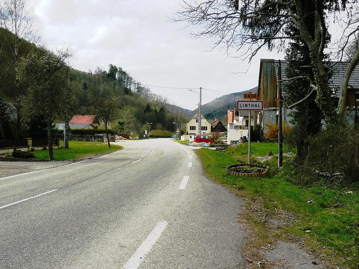
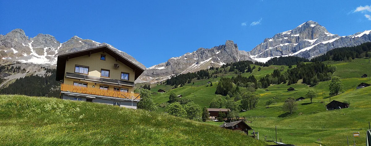
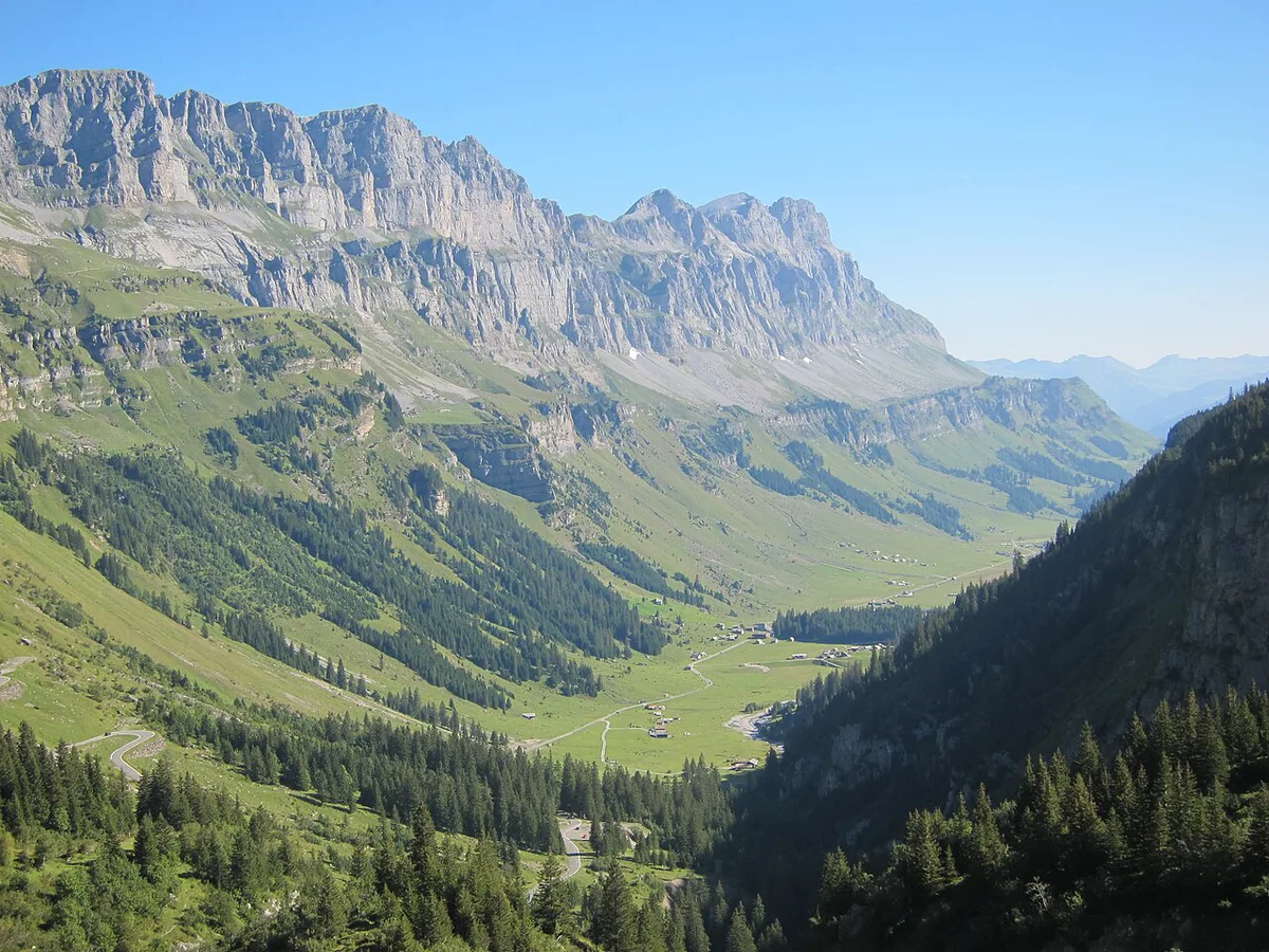
Bürglen is the Tell-legend stop, and the William Tell Monument is a short roadside visit. Unterschächen marks the point where the climb turns scenic. Urnerboden is the alp between the two cantons and works as a break before the Glarus descent. Summit viewpoints are worth a pause when the weather is clear. Rophaien summit and Rossstocklücke suit hikers with extra time and are closer to a half-day detour. Linthal sits at the Glarus end of the road.
Costs, Parking and Practical Logistics
No fixed fee is known for the road itself, so check whether your route needs a sticker on the official e-vignette page before you leave. Bus fares come only from the PostBus timetable. Park in Bürglen, Unterschächen or Urnerboden rather than at roadside bends. Summit food and parking vary by season, so carry snacks and water. Plan fuel or EV charging in Altdorf or Linthal before you climb.
- Mistake: assuming the pass is open in shoulder months
- Mistake: starting the climb low on fuel or water
- Mistake: relying on brakes alone on the descent
- Mistake: skipping the live status check
Where to Stay and Base Options
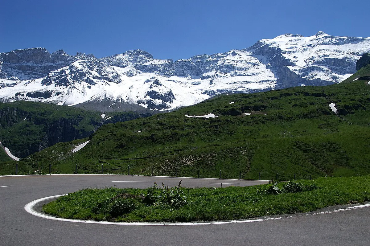
Choose Altdorf, Bürglen or Unterschächen if you want an early start on the Uri side and a Tell-legend stop. Choose Linthal if you plan to cross toward Uri and return the same day. For day trips from other cities, verify rail and bus connections on an official timetable before you commit.
Basing in Bürglen puts you at the start of the 24.2 km (about 15 miles) ascent that Komoot logs.
Klausen Pass vs Other Swiss Passes
Pick Klausen when you want a Uri–Glarus link with less traffic than the headline passes. Choose Furka Pass: Season, Drive Time & How to Plan It or Nufenen Pass: Season, Directions and Driving Tips for higher, more exposed terrain. For a Ticino-bound route, see Gotthard Pass: Route, Tremola Road and Tunnel Choice. For another central alternative, read about Oberalp Pass: Road Status, Route & Drive vs Train Tips. Distant options such as Flüela Pass and Great St Bernard Pass: Road, Tunnel, Hospice and Dogs (Planning Guide) are separate trips, not combinations. Browse every route in our Swiss mountain passes guide, and see MySwitzerland for regional planning.
Frequently Asked Questions
Where is the Klausen Pass?
Klausen Pass connects the canton of Uri with the canton of Glarus in the Swiss Alps. You approach from the Altdorf, Bürglen and Unterschächen side or from Linthal, passing through Urnerboden.
Road-rule changes worth knowing
Optional updates to our guides.
You might also like

Continue reading
More guides you'll find useful