
Arlberg Pass: Drive It, Skip It, or Take the Tunnel?
Should you drive the Arlberg Pass or take the tunnel? Season, winter rules, costs and a route decision guide for the Tyrol–Vorarlberg crossing.
On this page
Last updated November 2026. The Arlberg Pass is the old mountain road between Tyrol and Vorarlberg, running from St. Anton am Arlberg over the massif to Langen am Arlberg. Most drivers now use the parallel Arlberg road tunnel on the S16, so the pass road suits people who want scenery and a toll-free crossing. This guide covers when to drive it, when to skip it, and what to check first.
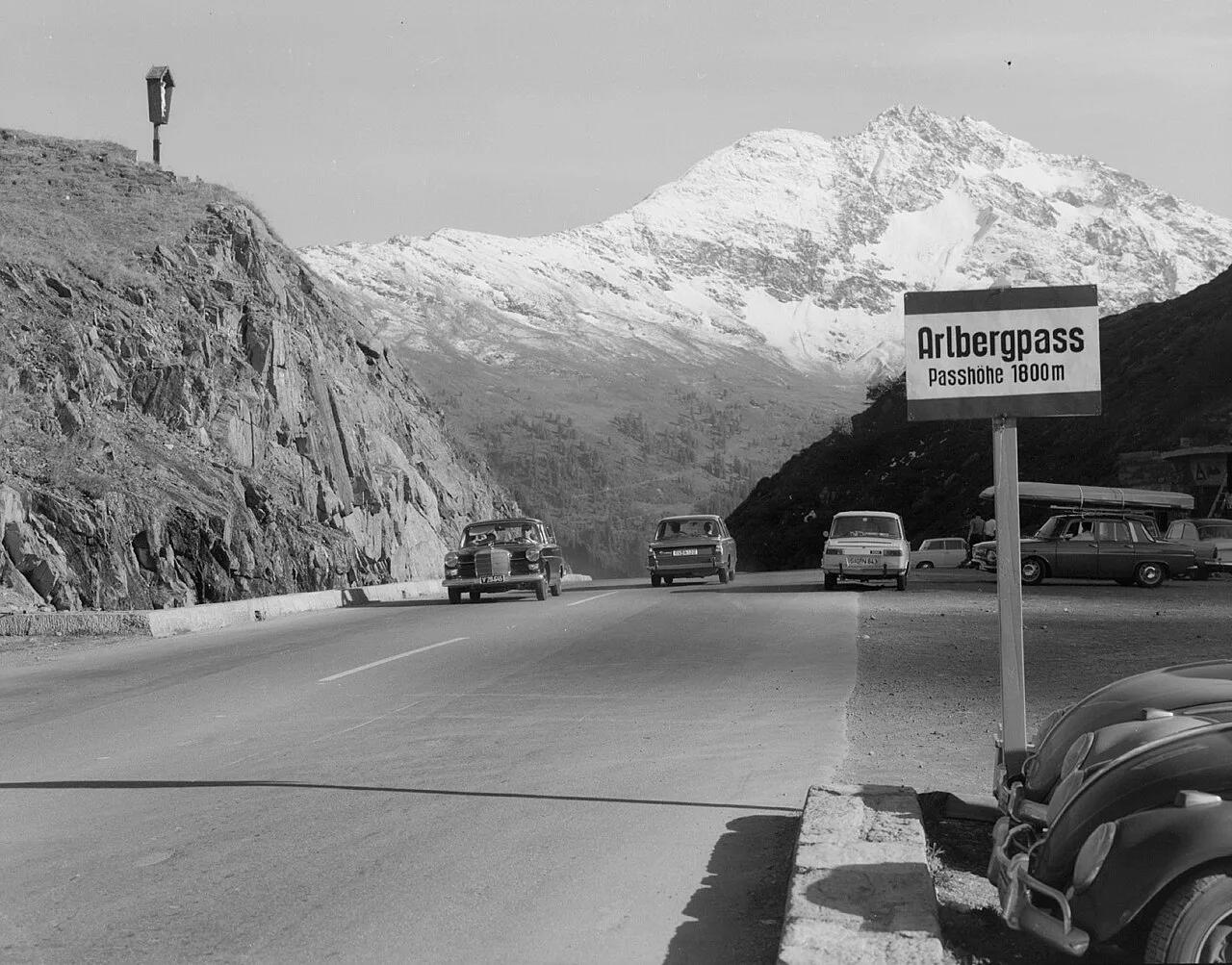
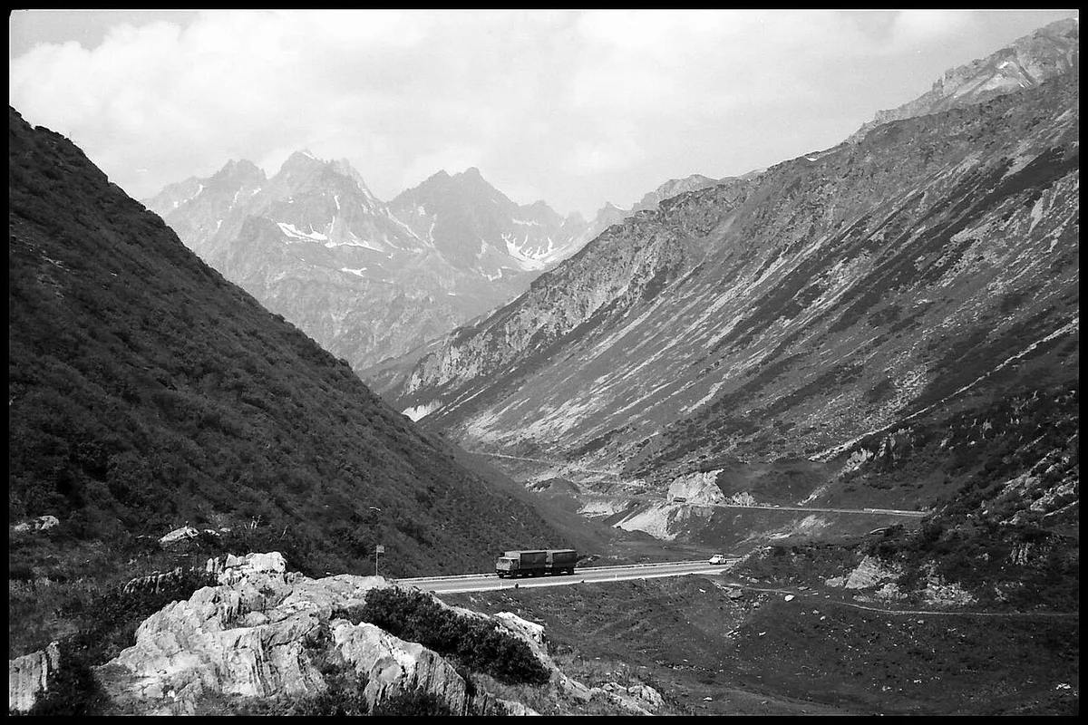
Featured image: Sammlung Risch-Lau, Vorarlberger Landesbibliothek, CC BY 4.0, via Wikimedia Commons.
Arlberg Pass at a glance
The pass road links Tyrol and Vorarlberg by way of St. Anton, St. Christoph, Zürs and Lech. It is free of toll. It closes in winter when snow is heavy, and that is the single fact that shapes every plan. Treat it as a summer and shoulder-season scenic drive and the tunnel as your reliable year-round route. Prices and hours checked November 2026 against official sources.
- Connects: Tyrol (St. Anton side) and Vorarlberg (Langen side)
- Cost: no toll on the pass road
- Winter: closes when snow is heavy
- Alternative: the S16 Arlberg road tunnel
- Best for: summer drives, confident mountain drivers, scenic stops at St. Christoph
Arlberg Pass or tunnel: which to take
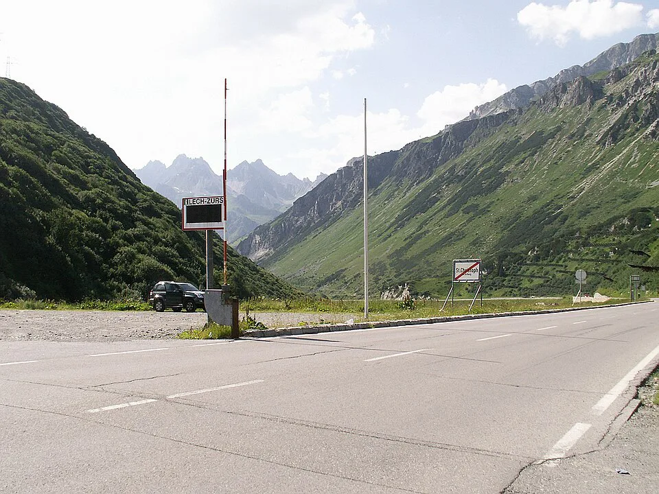
Pick the tunnel when you are on a schedule, driving in snow or towing luggage-heavy loads. Pick the pass when the sky is clear, the road is open and you want views over the Arlberg. Both routes reach the same two regions, so the choice is about weather, nerves and time, not destination.
Rail is a third option when weather or nerves rule out driving: the line between Innsbruck and Bludenz covers about 85 miles, passing beneath the pass.
| Factor | Pass road | Arlberg tunnel |
|---|---|---|
| Cost | No toll | Toll applies; see the costs section |
| Scenery | Mountain road with hairpins and village stops | Mostly enclosed driving |
| Winter reliability | Closes in heavy snow | Built for year-round use |
| Stress level | Higher for first-time mountain drivers | Low |
| Best for | Summer, scenic stops, flexible schedules | Tight schedules, winter, rental cars |
Driving the Arlberg Pass: route and what to expect
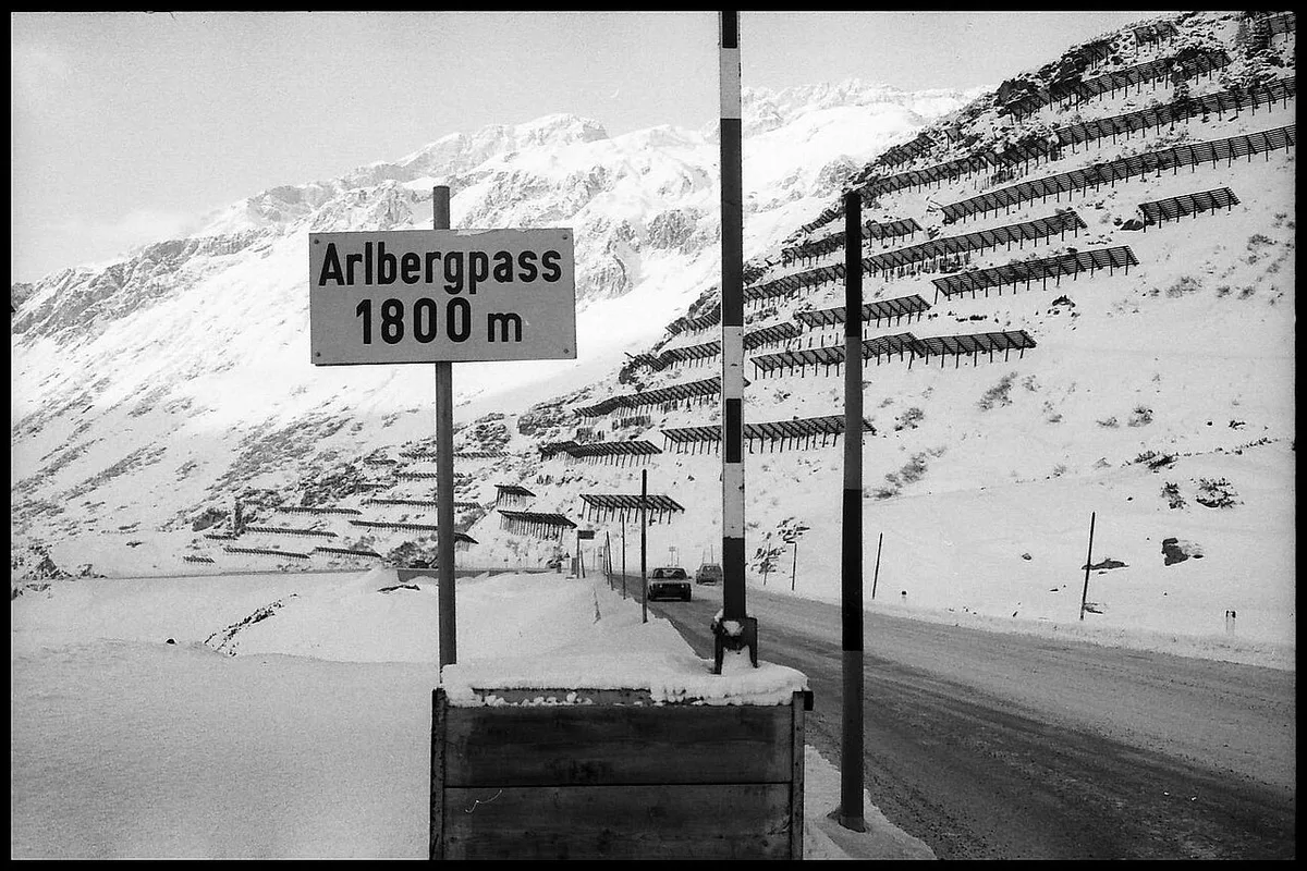
From the east, you leave St. Anton am Arlberg and climb through St. Christoph am Arlberg. The road then crosses the pass and descends toward Langen am Arlberg on the Vorarlberg side. Side roads from the pass area lead on to Zürs and Lech, so many drivers combine them into one trip. Expect hairpins, slower trucks and holiday traffic near the ski villages. Fill your tank before the climb, and keep to posted limits; our guide to Austrian speed limits explains the rules. St. Christoph is the practical place to stop, stretch and park before the descent.
Arlberg Pass in winter: closures, chains and rental cars
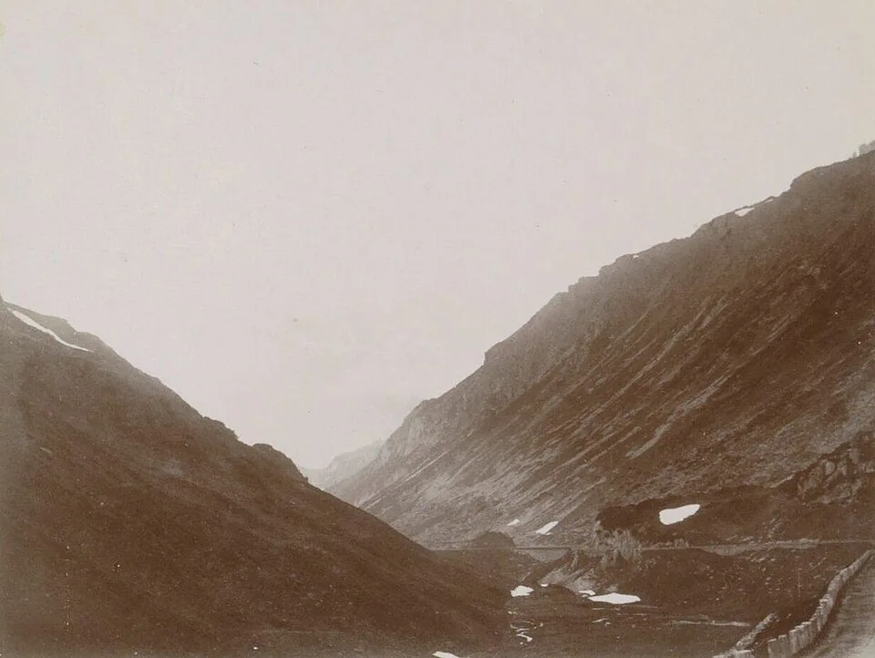
Heavy snow closes the pass, and then the tunnel is the only sensible choice. Check live road status on the Land Tirol pages before you leave, and do not rely on a navigation app for closure information. Winter-equipment rules apply to Austrian roads in cold months, and the ÖAMTC motoring club publishes them. Rental cars add a constraint, because chain provisions differ by company. Read how renting a car in Austria works before you book, and ask for winter tyres or chains in writing.
- Mistake: assuming the pass is open in winter
- Mistake: arriving without chains or winter tyres
- Mistake: skipping fuel before the climb
- Mistake: confusing the pass with the Arlberg Railway or the climbing crag of the same name
Costs and permits on the Arlberg
The pass road itself charges no toll. The tunnel does, and its toll is separate from the motorway vignette. Our Austrian vignette guide explains who needs one. For the tunnel charge, see our overview of Austrian toll roads and confirm the current amount with the operator. The saving on the pass road is real, but it is rarely worth the risk of a closed road in snow.
Reaching the Arlberg without a car
The Arlberg Railway opened in 1884 and runs about 85 miles from Innsbruck to Bludenz. Direct trains take roughly two hours and call at Landeck-Zams and St. Anton am Arlberg. Trains pass beneath the pass in a rail tunnel, so you do not see the road from your seat. Langen am Arlberg is the Vorarlberg-side station. Walkers can reach the crag area above St. Christoph on foot in about an hour along the Berggeist weg. Treat that as a rough guide and check local trail information first.
Fitting the Arlberg Pass into an Alpine road trip
The Arlberg works well as a link between Tyrol and Vorarlberg on a longer loop. Our Austria road trip plan shows how the regions connect. From Tyrol, the Silvretta High Alpine Road: Toll, Season & Driving Guide is a natural neighbour. Further east, Gerlos Pass Guide: Toll Road, Old Road and Winter Tips and the Brenner Pass: Route, Tolls and Border Crossing Guide fit other legs. Do the high roads on dry days and keep the tunnel as your wet-weather fallback. For general rules before any of these drives, start with our driving in Austria guide.
Frequently Asked Questions
How do I get to St. Anton am Arlberg?
By train, St. Anton am Arlberg sits on the Arlberg Railway between Innsbruck and Bludenz, and direct trains take roughly two hours from Innsbruck. By car, you reach it from the Tyrol side of the Arlberg.
Is St. Anton worth it?
St. Anton is a main base for the Ski Arlberg area in winter. In summer, the Galzigbahn cable car gives access to hiking routes, and the Museum St. Anton am Arlberg covers local skiing history.
Road-rule changes worth knowing
Optional updates to our guides.
You might also like

Continue reading
More guides you'll find useful