
Silvretta High Alpine Road: Toll, Season & Driving Guide
Plan the Silvretta High Alpine Road: season, toll road logistics, time needed, Montafon–Paznaun route options and when to skip it.
On this page
Last updated November 2026. The Silvretta High Alpine Road is a seasonal toll road that crosses the Bielerhöhe saddle at 2,032 m (about 6,667 ft). It links Partenen in Vorarlberg's Montafon valley with Galtür in Tyrol's Paznaun valley. It suits scenic-drive fans and photographers, and it is part of any wider Austria driving plan.
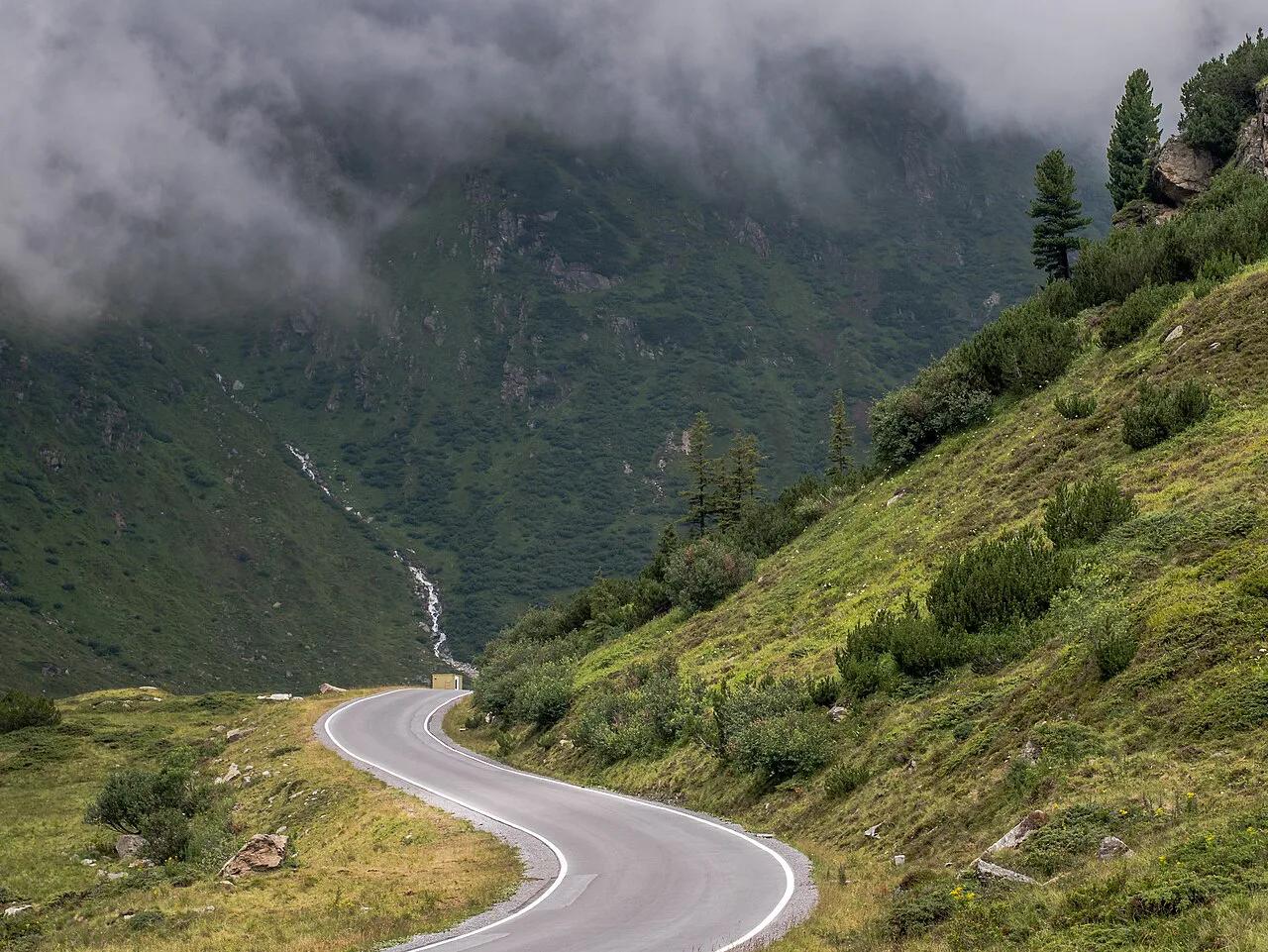
Featured image: Basotxerri, CC BY-SA 4.0, via Wikimedia Commons.
Quick Facts: Silvretta High Alpine Road
Snow closes the road for roughly half the year, so timing decides everything. Use the table to size up the drive before you plan around it.
| Detail | What to know |
|---|---|
| Route ends | Partenen (Vorarlberg, Montafon) to Galtür (Tyrol, Paznaun) |
| Summit | Bielerhöhe saddle, 2,032 m (about 6,667 ft) |
| Road type | Toll road, separate from the motorway vignette |
| Typical season | May to October or November; usually closed November to May |
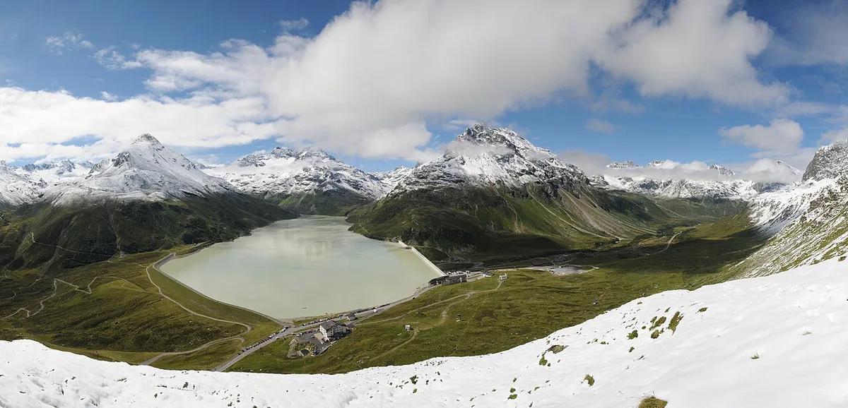
| Scenery | Silvretta reservoir (Silvretta-Stausee) and views toward Piz Buin |
| Live status and toll | Operator's official site |
Is It Open? Season And Conditions
Expect the road to be open from May into October or November and closed from about November to May. Those are typical windows, not promised dates. At 2,032 m, snow can arrive early in autumn and linger into late spring. Opening and closing follow the weather, so check live status on the official Bielerhöhe site on the morning you drive. If the road is shut, you can still reach the other valley by a lower route. Driving down the Montafon valley and around by the main roads costs extra time, so decide before you commit to the detour.
At 2,032 m, weather decides the season, so pair May or October dates with free-cancellation lodging.
- Early season (May): expect snow banks beside the road and cold at the saddle.
- Late season (October into November): ice on shaded bends is the main risk at dawn and dusk.
- Closed: use lower valley roads, or swap in a different scenic drive from the table below.
Toll, Vignette And Costs
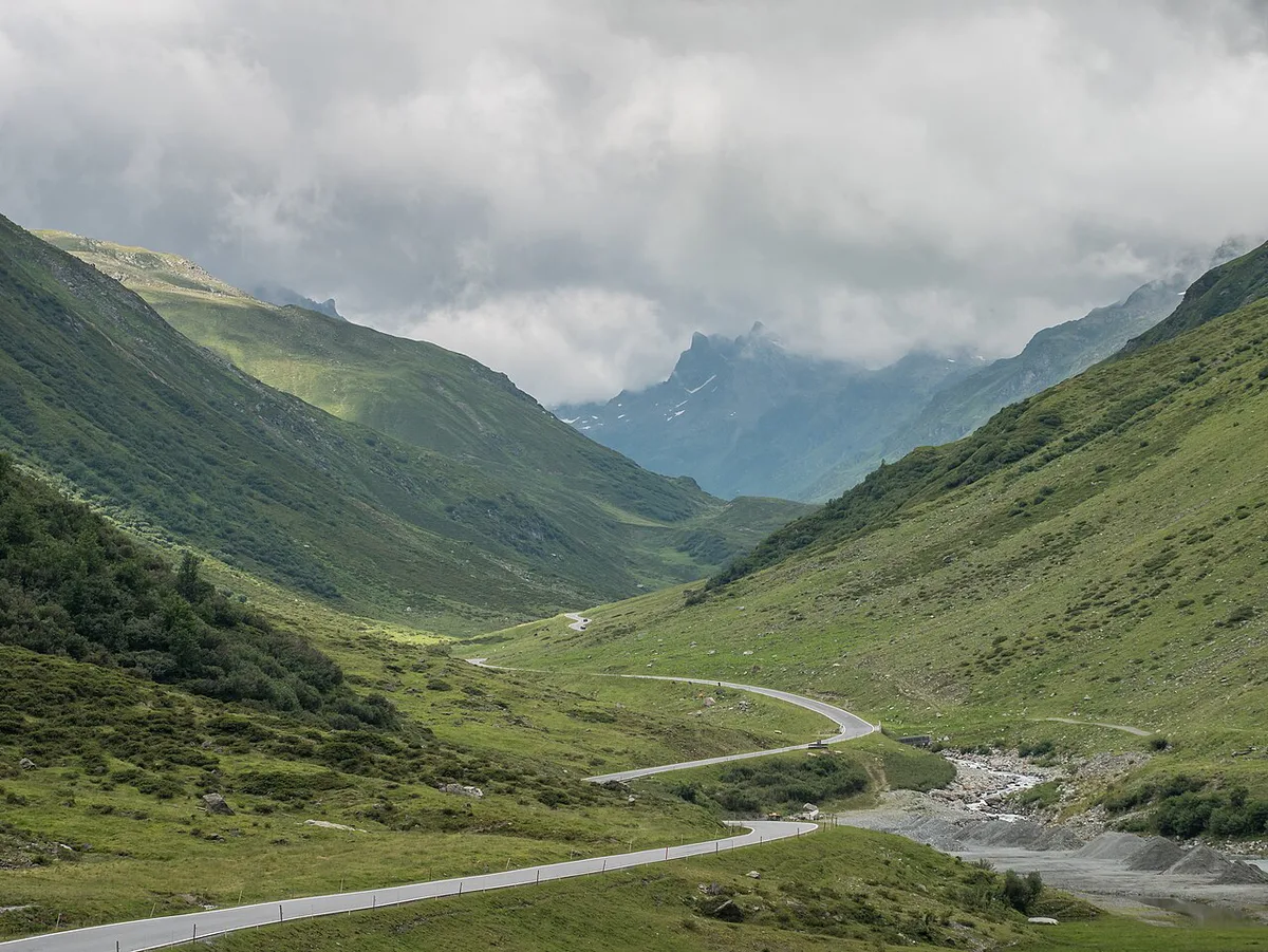
A toll road is paid separately from the Austrian motorway sticker. Your vignette does not cover this road, so budget for both if you also use motorways. Our Austria vignette guide explains what the sticker covers. Our guide to Austrian toll roads lists other roads charged on their own. Current Silvretta toll rates are on the operator's site, and prices and hours were last checked November 2026. We do not quote an amount here because rates are set by the operator and can change each season. Compare that fee against the fuel and time a lower-valley route would cost you.
Driving It: Route, Time And Stops
Either direction works, so choose by where you sleep and where you go next. Starting at Partenen means you climb from Vorarlberg and descend toward Galtür in Tyrol. Starting at Galtür reverses that. Allow time for at least three stops beyond the drive itself. A fast, uninterrupted crossing is short, but this is a road for pulling over. Plan a full morning or afternoon if you want to walk at the top.
- Bielerhöhe saddle: the high point at 2,032 m, where the road crests between the two valleys.
- Silvretta reservoir (Silvretta-Stausee): the turquoise water beside the road at the top.
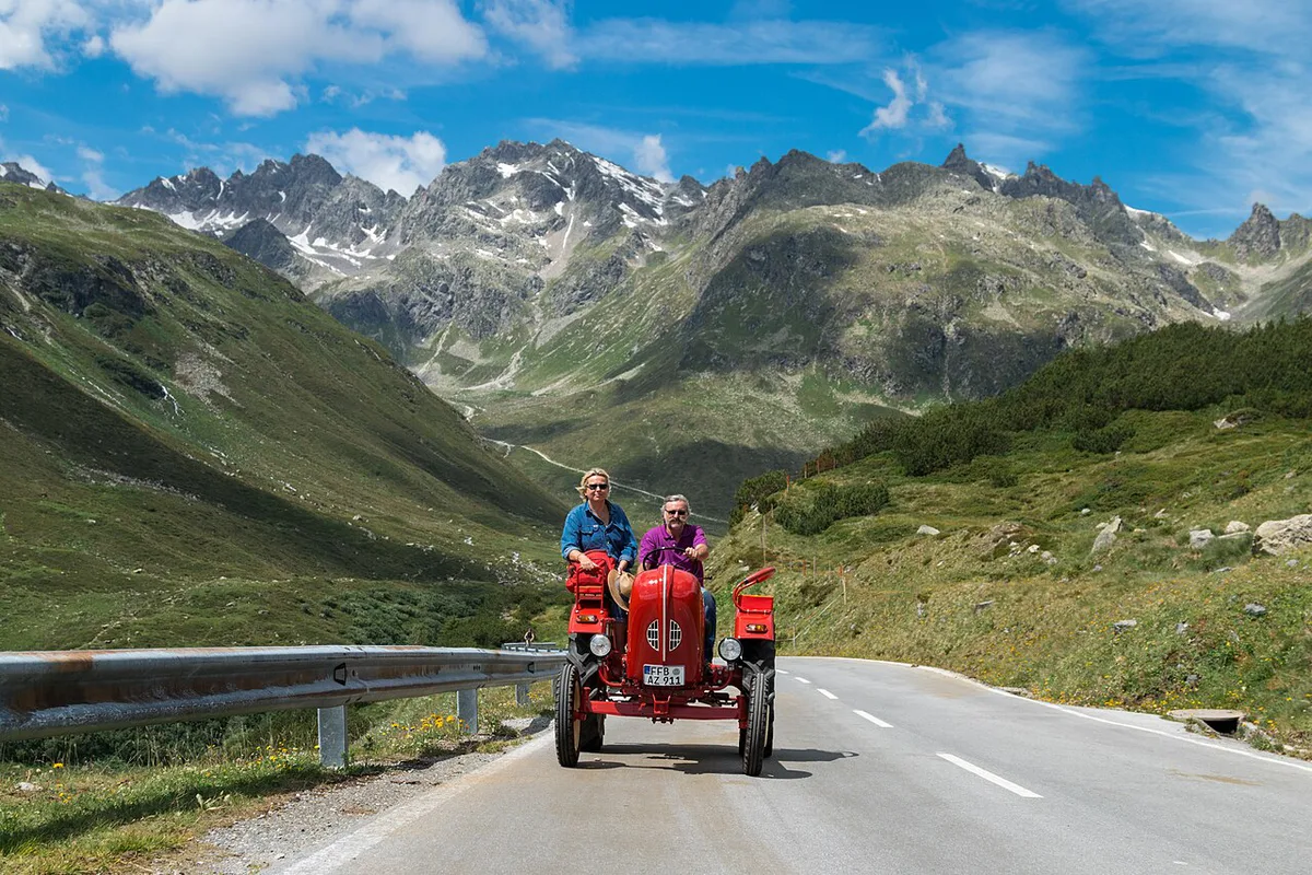
- Piz Buin views: best on clear days, when the peaks are not wrapped in cloud.
- Pull-outs: use marked parking only, and keep the lane clear for other drivers.
Is It Worth It? Decision Criteria
Go if you enjoy mountain driving, photography or a motorcycle ride with a real payoff at the summit. Skip it if your schedule is tight or the forecast shows rain or low cloud. Views are the point here, so a clear day matters more than on a pass you simply cross. Use a simple rule. If the saddle is in cloud on your webcam or forecast check, wait a day or choose another route. Nervous mountain drivers should also think twice. Narrow sections and hairpins demand patience, and slower traffic is normal. For a longer itinerary, see our Austria road trip planner.
- Mistake to avoid: setting out with a nearly empty tank. Fill up in the valley before you climb.
- Mistake to avoid: driving up for views on a foggy day, then seeing nothing.
- Mistake to avoid: ignoring ice on early-morning and late-season bends.
Rental Car, Licence And Rules
An ordinary rental car handles a paved alpine toll road, but check your rental terms for toll roads and mountain use. Our Austria car rental guide covers pick-up and insurance basics. Read Austria's speed limits before you go, and obey the signs posted along the road. Drivers from the US can check licence rules in our US licence guide. Motorcycle and vehicle-class rules are set by the operator, so read them on the official site before you ride.
Combine It With Other Roads
The Silvretta road fits neatly into a route through western Austria. Each neighbouring drive has a different character, so pick one to pair rather than stacking all of them. The Arlberg Pass: Drive It, Skip It, or Take the Tunnel? reaches 1,793 m on a major route. The Gerlos Pass Guide: Toll Road, Old Road and Winter Tips is a separate alpine road to the east. Mountain-road fans can add the Hahntennjoch. The Kaunertal Glacier Road: Toll, Season & Driving Guide adds a glacier drive. Check the operator for toll and season on each.
Pairing the Arlberg Pass at 1,793 m with the Silvretta summit at 2,032 m gives two high crossings in one western loop.
| Road | Highest point | Toll and season |
|---|---|---|
| Silvretta High Alpine Road | 2,032 m | Toll road; typically May to October or November |
| Arlberg Pass | 1,793 m | Check current rules and winter conditions |
| Gerlos Pass | See operator | Check operator for toll and season |
| Hahntennjoch | See local sources | Check Tyrol road status |
| Kaunertal Glacier Road | See operator | Check operator for toll and season |
Where To Stay And Base Yourself
Pick a base in either valley, since the road connects both. A Montafon base in Vorarlberg puts you at the Partenen end. A Paznaun base in Tyrol puts you at the Galtür end. Choose the side that matches your onward route, then drive the road as a day loop or a one-way crossing. Book accommodation with free cancellation if you are travelling in May or October, because road closures can change your plans. Always have a lower-valley backup route ready, and note that the ÖAMTC motoring club publishes Austrian road and traffic information.
Road-rule changes worth knowing
Optional updates to our guides.
You might also like

Continue reading
More guides you'll find useful