
Gerlos Pass Guide: Toll Road, Old Road and Winter Tips
Driving the Gerlos Pass in Austria: toll and old road explained, winter conditions, Krimml Waterfalls stops and when to go.
On this page
Last updated November 2026: the Gerlos Pass carries the B165 between the Zillertal in Tyrol and the Pinzgau in Salzburg state. Its main road, the Gerlos Alpine Road, is a toll road that the operator says is open all year, with a maximum gradient of 9%. A separate old road from Wald im Pinzgau also exists, so choose your route before you set off.
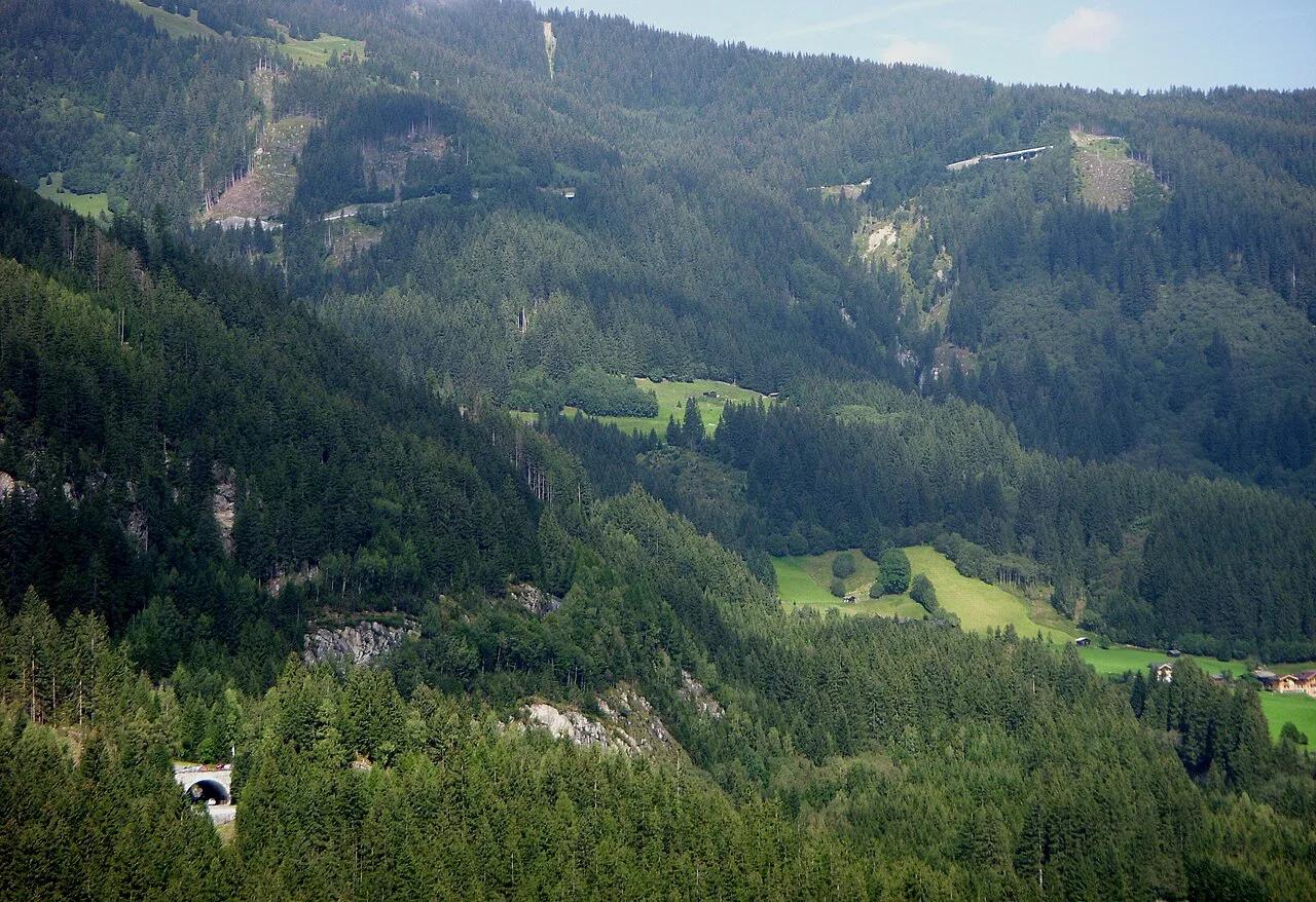
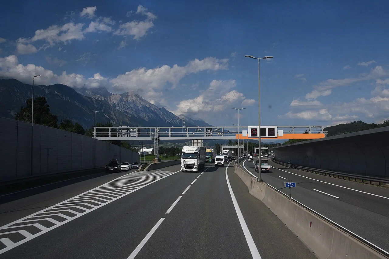
Featured image: Holger.Ellgaard 18:29, 13. Sep. 2008 (CEST), CC BY-SA 3.0 de, via Wikimedia Commons.
Gerlos Pass at a glance
Wikipedia gives the summit as about 1,500 m (4,921 ft), while cycling databases list 1,529 m and 1,530 m. Treat the summit as roughly 1,500 m. The operator describes a 69 km (about 43 miles) route linking Zell am Ziller in Tyrol with Mittersill in Salzburg. Its core section runs 12 km from Krimml up to the Pinzgauer Höhe.
| Fact | Detail |
|---|---|
| Road number | B165 |
| States linked | Tyrol (Zillertal) and Salzburg (Pinzgau) |
| Summit | About 1,500 m (4,921 ft) |
| Full route | 69 km, Zell am Ziller to Mittersill |
| Core section | 12 km, Krimml to Pinzgauer Höhe |
| Maximum gradient | 9% (operator figure) |
| Toll | Private toll road, price on the operator's page |
| Season | Open year-round, with winter-tire alerts |
Toll road or old road: which route to take
Two roads cross this pass, and the confusion costs drivers time. The Gerlos Alpine Road is the new toll road from Krimml to Gerlos, built in the 1960s. The old road runs from Wald im Pinzgau to Gerlos. It is closed to trucks and is not always open in winter. Most drivers on the B165 want the toll road, which is the one the operator markets.
| Question | Toll road (Gerlos Alpine Road) | Old road (Wald im Pinzgau) |
|---|---|---|
| Route | Krimml to Gerlos | Wald im Pinzgau to Gerlos |
| Payment | Toll, paid to the operator | Not described as a toll road |
| Trucks | Operator lists car, bus, motorbike and bicycle statuses | Closed to trucks |
| Winter | Open all year | Not always open |
| Character | Gentle curves, 9% maximum gradient | Steeper, narrower, quieter |
Driving the pass from Zell am Ziller to Krimml
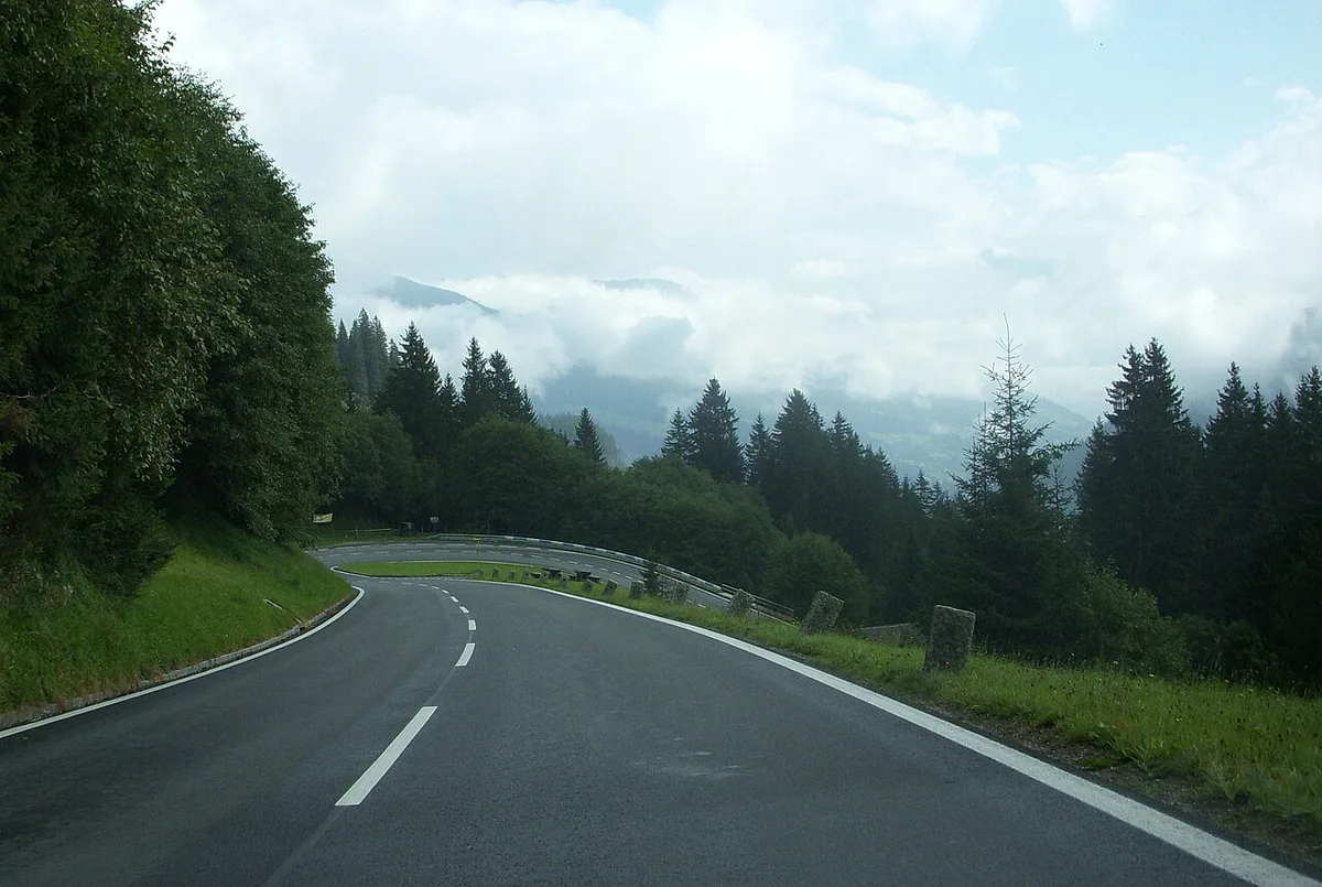
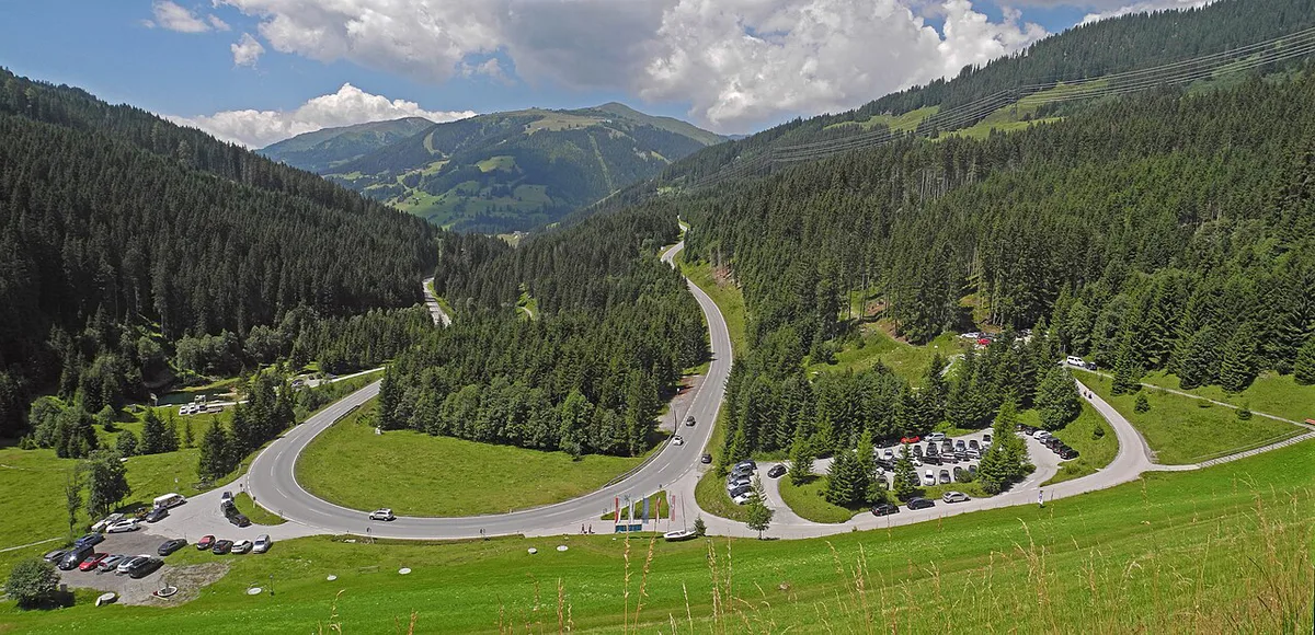
Franz Wallack planned the Krimml section. He also designed the Grossglockner High Alpine Road, and the same smooth curve-fitting shows here. Drivers coming from Zell am Ziller climb through the Zillertal, then pass Gerlos village. Cyclists report 8 hairpins on this side, with the best views back toward the Zillertal. From Krimml, the 12 km ascent to the Pinzgauer Höhe offers waterfall views from every parking area. The operator also mentions a new observation tower at the pass. A continuous Krimml-to-Gerlos link only opened in 1962, so the road is younger than its reputation suggests. For general rules before you start, read our guide to 7 Things to Know Before Driving in Austria. Our page on Austrian speed limits covers the limits you will meet on the B165.
Expect weekend ski traffic from the Zillertal Arena, which offers 139 km of pistes and 51 lifts, and remember the old road is not always open in winter.
Stops worth making on the Gerlos Alpine Road
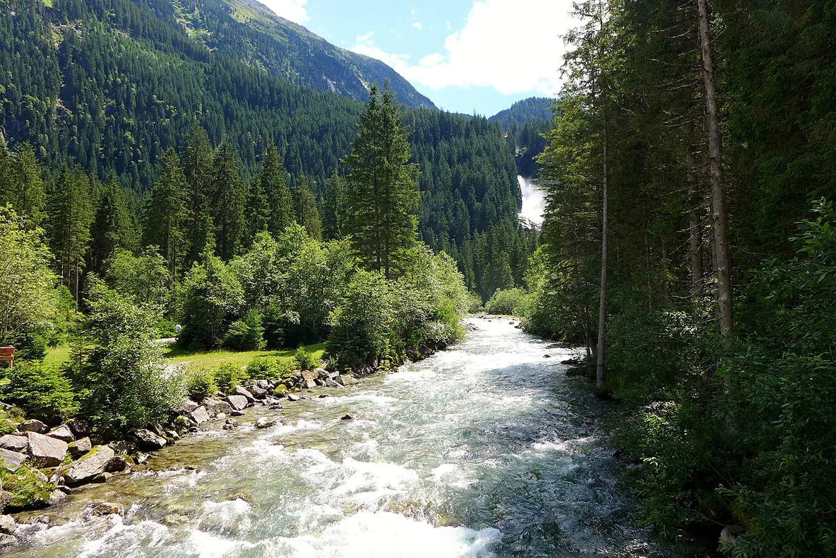
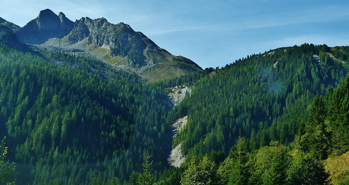
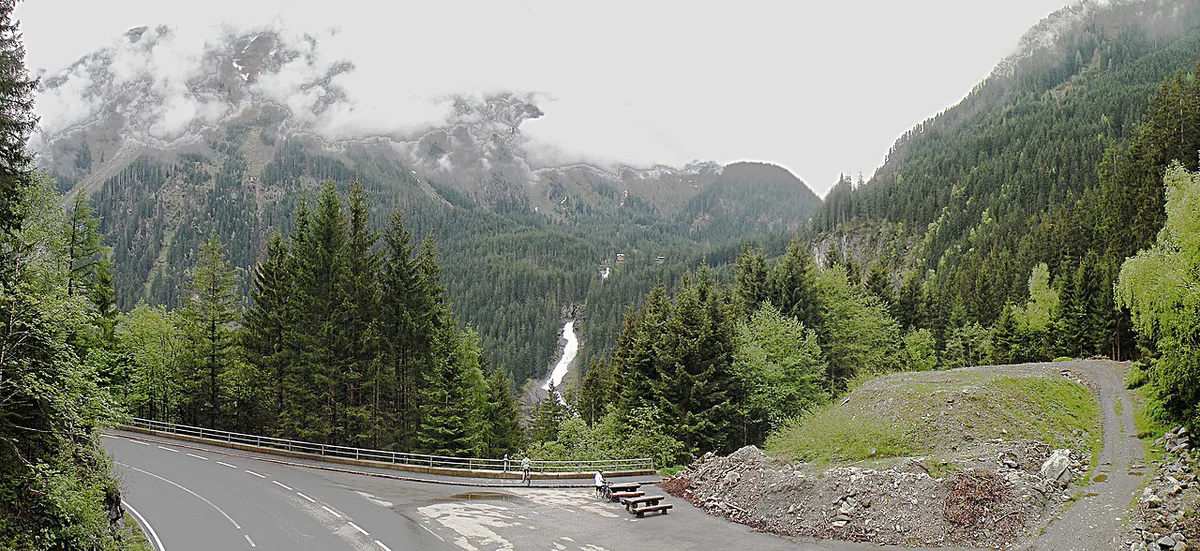
The Krimml Waterfalls are the main reason to break the journey. The operator describes them as the fifth highest waterfall in the world. Every parking area on the 12 km ascent from Krimml gives a view of them. Waterfall entry is separate from the road toll. Further along, the Durlassboden reservoir offers a lakeside rest. The Sieben Möser Gerlosplatte moor is a protected area near the pass. The road runs into the Hohe Tauern National Park, and the operator cites about 400 km of signposted hiking paths nearby. A short walk costs little time. A full waterfall visit takes longer, so give it its own slot rather than squeezing it in.
Costs, opening and live status
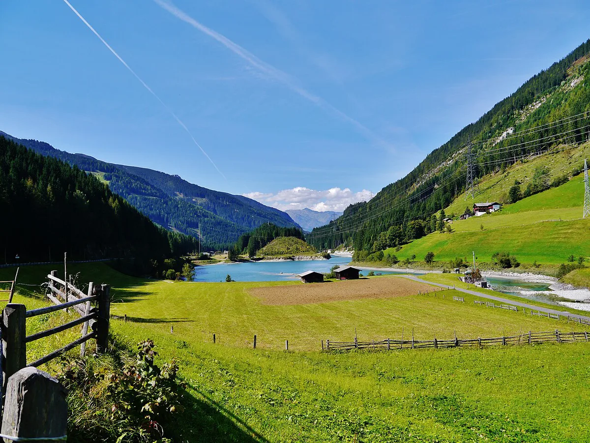
Prices and hours checked November 2026. The operator publishes the toll and opening hours on its Gerlos Alpine Road site, and no euro figure is quoted here because the price page changes. Read the current toll there before you drive. The operator's front page also carries a live status for car, bus, motorbike and bicycle, plus a webcam. Waterfall tickets are priced separately, so check the waterfall site for the current fee. The Austrian vignette may not cover a private toll road. Our guides to the Austria Vignette 2026–2027: Prices, Where to Buy and Austrian toll roads explain which roads need which payment.
- Mistake 1: assuming the vignette covers the toll road.
- Mistake 2: taking the old road in winter without checking it is open.
- Mistake 3: skipping the Krimml Waterfalls because the road looks like a quick transit.
Gerlos Pass in winter and by season
The operator says the Alpine Road is open all year. On the day of writing its status banner showed "Attention – winter tires" for cars and buses, and "Closed" for motorbikes and bicycles. Carry winter tires and chains in snow season. The ÖAMTC motoring club publishes Austrian tire guidance. In winter the road is also the access to the Zillertal Arena ski area, which the operator puts at 139 km of pistes and 51 lifts, reaching 2,500 m. Expect ski traffic on weekends.
| Season | Conditions | Advice |
|---|---|---|
| Winter | Winter-tire alerts, ski traffic | Tires and chains; check status and webcam; avoid the old road |
| Spring | Mixed conditions, motorbike and bicycle status may stay closed | Check live status before you leave |
| Summer | Best for views and hiking | Start early; add the waterfalls |
| Autumn | Quieter roads, changeable weather | Check status and daylight |
Is the Gerlos Pass right for you?
Its gentle gradient makes it one of the easier Alpine crossings. Most vehicle types can use the toll road, with a few exceptions.
Walkers traveling with children can pair waterfall stops with about 400 km of signposted hiking paths nearby.
- First-time Alpine driver: a good choice, with a 9% maximum gradient and smooth curves.
- Motorbike: the operator lists a separate status, so check it before riding in cooler months.
- Campervan: use the toll road, not the old road, which is closed to trucks.
- Electric car: the operator has an e-mobility page, so see it for charging details.
- Rental car: confirm the contract allows toll roads. Our car rental guide covers this.
- Families: the waterfall parking areas break up the 12 km climb.
The Gerlos Pass by bike
Cyclists can ride both sides. The Zell am Ziller side is the popular one at 24.3 km with 943 m of ascent and a 3.9% average. Its steepest 100 m reaches 9.5%. The old road from Wald im Pinzgau is shorter at 12.96 km, but steeper at a 5.1% average over 683 m of climbing. Riders report heavy traffic, especially on weekends. The operator's bicycle status can read closed in winter.
Gerlos Pass in your Austria route
The pass links Tyrol and Salzburg state, so it fits an east-west leg of an Austria Road Trip: Routes, Passes & Driving Tips. It sits east of the Arlberg and Silvretta routes, so it does not pair with them on a short day. For a high-alpine alternative, see the Silvretta High Alpine Road: Toll, Season & Driving Guide. The Felbertauern Tunnel: Toll, Route and Winter Driving Guide is another tolled crossing to compare. Foreign drivers should also check the US license rules before hiring a car.
Road-rule changes worth knowing
Optional updates to our guides.
You might also like

Continue reading
More guides you'll find useful