
Hahntennjoch Pass Guide: Opening, Driving & Short Hikes
Planning the Hahntennjoch? Check seasonal opening, vehicle and bike rules, drive time and which short hikes are worth it before you go.
On this page
Last updated November 2026. The Hahntennjoch is a narrow, steep, seasonal mountain road in the Lechtal Alps, topping out at about 1,894 m (roughly 6,200 ft). It links Imst in the Inn Valley with Elmen in the Lech Valley over about 29 km. It is not a year-round road: it usually closes from November to the end of April. For wider planning, start with our Austria driving guide.
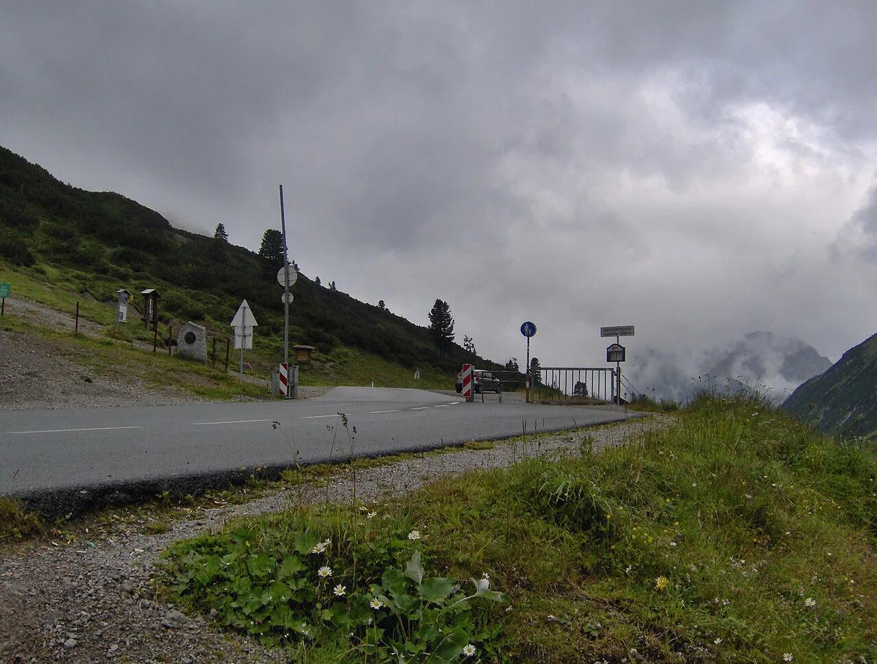
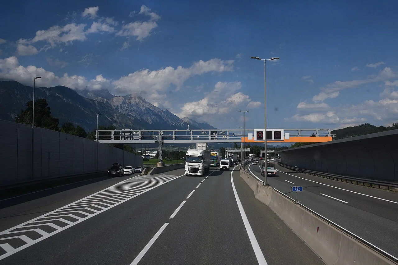
Featured image: Tubantia, CC BY-SA 3.0, via Wikimedia Commons.
Hahntennjoch at a Glance
Joch means pass or saddle, and Hütte means mountain hut. Those two words appear on most signs and maps around here. The road crosses the Lechtal Alps in Tyrol and suits confident drivers with a flexible schedule.
- What it is: a high alpine pass road between Imst (Inn Valley) and Elmen (Lech Valley).
- Altitude: about 1,894 m at the summit.
- Roads: L 246 from Imst, L 72 over the top, L 266 (Bschlaber Straße) down to Elmen; about 29 km in all.
- Gradient: up to 18.9% on the Imst side and 15% on the Elmen side.
- Status: seasonal, usually closed from November to the end of April.
- Banned: vehicles over 7.5 t, trailers over 2 t and caravans.
- Best fit: drivers and riders who like tight bends and can adjust plans if the road is shut.
- Skip it if: you are towing, driving a large camper, or need a guaranteed schedule.
Is the Hahntennjoch Open? Seasonal Access and Closures
The road usually closes for winter from November to the end of April. The exact dates follow snow clearance and avalanche risk, so they shift from year to year. Land Tirol, the state government, publishes road and traffic information for Tyrol; use it on the morning you drive. Weather can close or damage the road even in midsummer, since heavy rain brings mudflows down onto it. Warning lights have flagged mudflow danger on the road since 2004, so obey them if they are flashing. If it is shut, the usual fallback is the Inn Valley and Fernpass side, or a different pass from the list below. Status last checked November 2026, and conditions change daily.
Driving the Hahntennjoch: Who It Suits
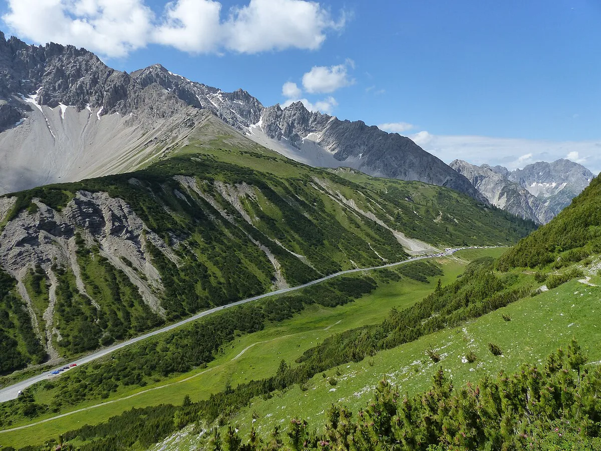
The Imst side climbs about 13.9 km to the summit, and the Elmen side about 15.5 km. The Imst side is the steeper, with grades up to 18.9%, against a maximum of 15% toward Elmen. Expect tight bends, steep sections and limited room to pass oncoming traffic. Vehicles over 7.5 t, trailers over 2 t and caravans are banned from the road, and the posted signs at the valley entrance show these limits. Rental drivers should read our guide to renting a car in Austria for contract rules on mountain roads. Our page on Austria speed limits covers the general rules.
| Vehicle | Suitability | Main concern | Before you go |
|---|---|---|---|
| Car | Good for confident drivers | Narrow road, steep bends, oncoming traffic | Road status and weather |
| Campervan or large vehicle | Banned over 7.5 t; poor fit below that | Width, length and weight on tight bends | Posted limits at the valley entrance |
| Car with trailer or caravan | Banned for caravans and trailers over 2 t | Gradients up to 18.9% | Plan another route |
| Motorcycle | Popular, with rules | 95 dB(A) noise ban and loose gravel after storms | Your bike's standing noise figure |
| Cyclist | Hard, committed climb | Sustained gradient and traffic on bends | Weather and road status |
Motorcycle Noise Rules and Other Restrictions
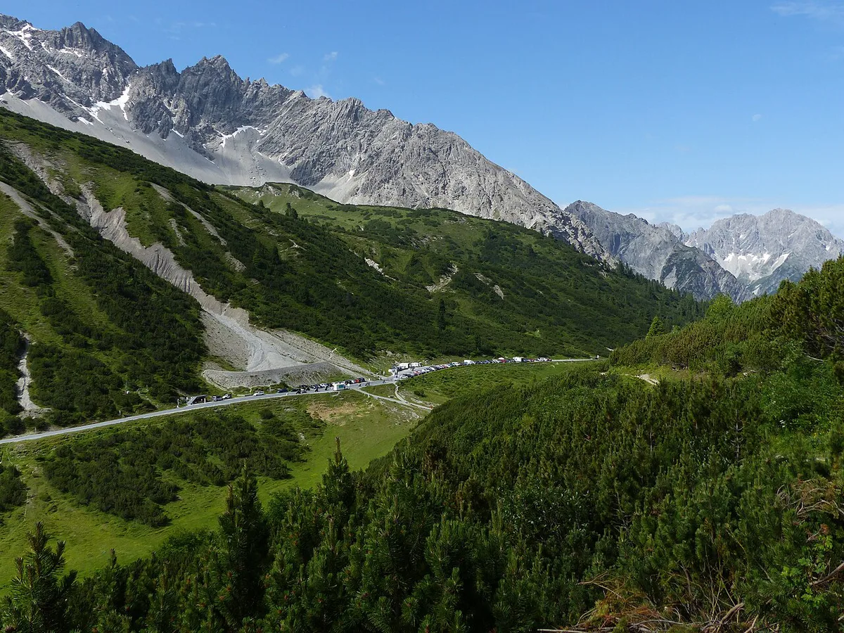
Land Tirol bans motorcycles with a standing noise level above 95 dB(A) from the Hahntennjoch and several roads around it. The ban began as a pilot from 10 June to 31 October 2020 and has applied every year since 2021 from 15 April to 31 October. It covers the L 246, L 72 and L 266 over the pass, plus the B 198, B 199 and L 21 in the Reutte and Imst districts. The limit is the bike's standing (near-field) noise figure, not how loud it sounds on the day, so a stock bike can still be over it. ADAC puts the fine at €220. The Land Tirol motorcycle ban page has the full order. Tolls and vignette rules are a separate question. Read our pages on the Austria Vignette 2026–2027: Prices, Where to Buy and Austrian toll roads for the general rules. The pass is a regional road, not a motorway, so no vignette is needed to drive it.
- Road status: the Tyrol traffic service on the day.
- Vehicle limits: no vehicles over 7.5 t, no trailers over 2 t, no caravans.
- Bike noise: 95 dB(A) standing-noise limit from 15 April to 31 October.
- Weather: the forecast for the valley and the summit, plus the mudflow warning lights.
How Much Time to Plan on the Hahntennjoch
Allow roughly 30 to 60 minutes for a scenic drive over the pass without long stops. Add a short walk and you are looking at a half-day. These are rough estimates, not timetable figures. Slow vehicles, photo stops and traffic on bends all stretch the time.
The walk to the Anhalter Hütte takes about an hour and a half each way from the pass. That stacks on top of the drive, so it is not a free extra.
| Plan | Effort | Go if |
|---|---|---|
| Stop at the top | Low | You want the drive and a viewpoint photo |
| Walk toward Anhalter Hütte | Moderate | The weather is clear and you have sturdy shoes |
| Full mountain day | High | You have alpine experience and a stable forecast |
Short Walks From the Summit vs. Serious Mountain Tours
The easy end is the marked path from the pass over the Steinjöchl, at 2,189 m, to the Anhalter Hütte. The hut, run by the Oberer Neckar section of the German Alpine Club, stands at 2,038 m and is usually open from mid-June to the end of September, so plan a meal there only in that window. The walk takes about an hour and a half and climbs roughly 300 m to the Steinjöchl before dropping to the hut. Serious tours continue from the hut. Falscher Kogel, at 2,388 m, is about an hour further and not technically hard, but it is exposed. Maldongrat, at 2,544 m, is about an hour and a half from the hut, also exposed, and needs sure footing. Both need alpine experience, a head for heights and a settled forecast. Treat them as mountaineering, not as a casual stroll from the car.
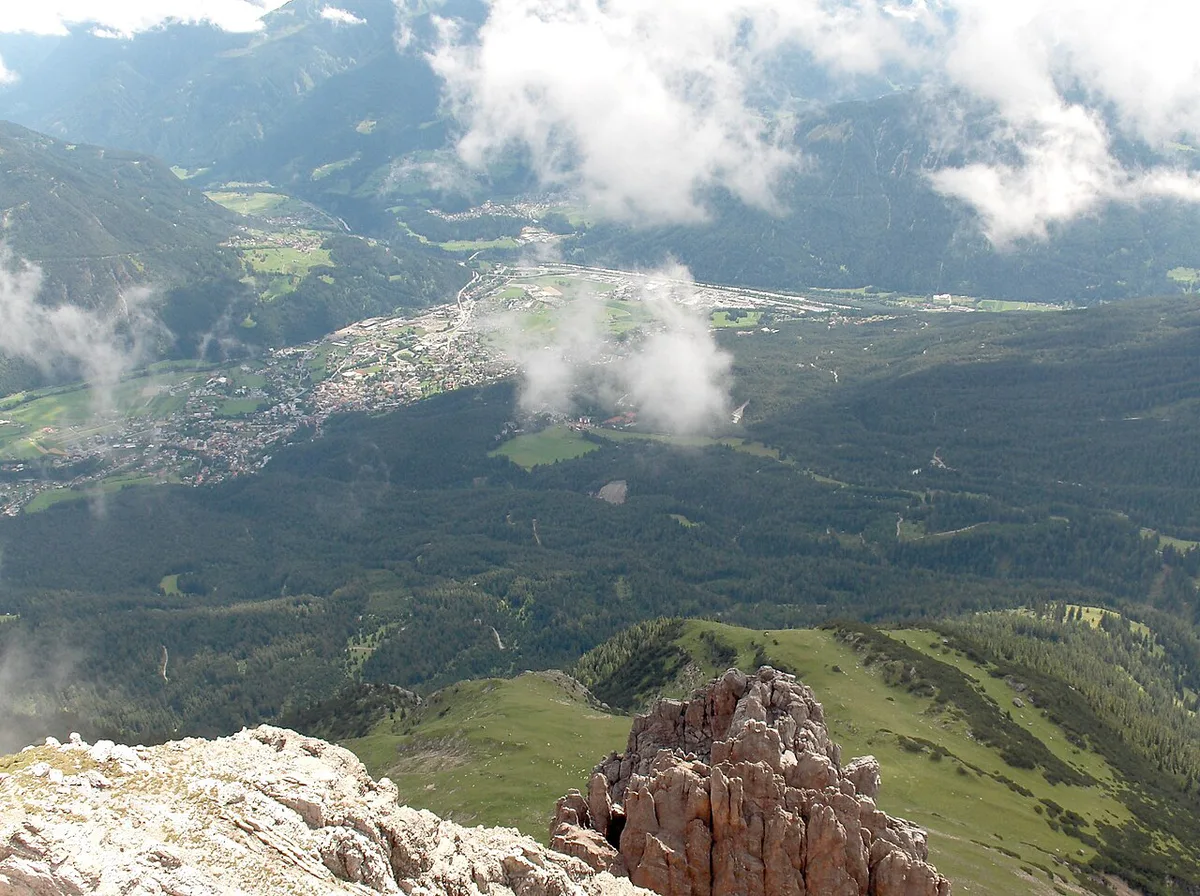
- Easy: the marked path over the Steinjöchl to the Anhalter Hütte.
- Needs alpine experience: Maldongrat.
- Needs alpine experience: Falscher Kogel loop.
Getting There and Where to Base Yourself
Approach from Imst in the Inn Valley or from Elmen in the Lech Valley. Both ends have fuel and food, while the summit area has little. Fill the tank and pack water before you climb. For accommodation ideas and walking info, see Imst Tourism.
The road runs about 29 km from Imst to Elmen with no fuel at the summit, so fill up at either valley end.
Weather, Timing and Safety
Start early. Mountain weather turns in the afternoon, and storms can cut the road or close it for clearing. It is cold at 1,894 m even in summer, so carry a jacket. Hairpins stay damp after rain, and loose material can sit on the tarmac. After bad weather, expect delays and look at the road status again before you set off.
Mistakes to Avoid
Most problems come from planning, not driving skill.
- Assuming the pass is open between November and April, or after heavy rain.
- Riding a motorcycle with a standing noise figure above 95 dB(A) between 15 April and 31 October.
- Bringing a caravan, a trailer over 2 t or a vehicle over 7.5 t.
- Treating Maldongrat or Falscher Kogel as an easy walk from the car park.
- Starting without fuel, water or a food plan.
Fit the Hahntennjoch Into an Austria Road Trip
The pass works as a half-day detour on a longer Tyrol route. Our Austria road trip planner shows how to combine it with other stops. Other mountain roads nearby include the Arlberg Pass: Drive It, Skip It, or Take the Tunnel? and the Silvretta High Alpine Road: Toll, Season & Driving Guide. Travelers heading east can also consider the Gerlos Pass Guide: Toll Road, Old Road and Winter Tips. Each has its own season and winter rules, covered on its page, and the Silvretta and Gerlos roads also charge tolls.
Road-rule changes worth knowing
Optional updates to our guides.
You might also like

Continue reading
More guides you'll find useful