Passo Giau: Is the Dolomites Pass Worth the Detour?
Passo Giau links Selva di Cadore and Cortina d'Ampezzo. Get go/skip/swap advice, access options, timing and pass combinations for the Dolomites.
On this page
Last updated November 2026. Passo Giau is a high mountain pass in Belluno province that links Selva di Cadore with Cortina d'Ampezzo. It suits drivers, motorbike riders and cyclists who want Ra Gusela and Nuvolau views above Cortina. This guide gives a clear go, skip or swap verdict, then covers access, timing, safety and pass combinations.
Featured image: Frisia Orientalis, CC BY-SA 3.0, via Wikimedia Commons.
Passo Giau Quick Facts
The pass road is the SS638, and the summit sits at 2,236 m (7,336 ft). Figures below come from Italian Wikipedia's entry for the pass and were reviewed in November 2026. Road status and hut hours change through the year, so use the Cortina tourism office for live information.
- Location: between Selva di Cadore and Cortina d'Ampezzo, Belluno province, Veneto.
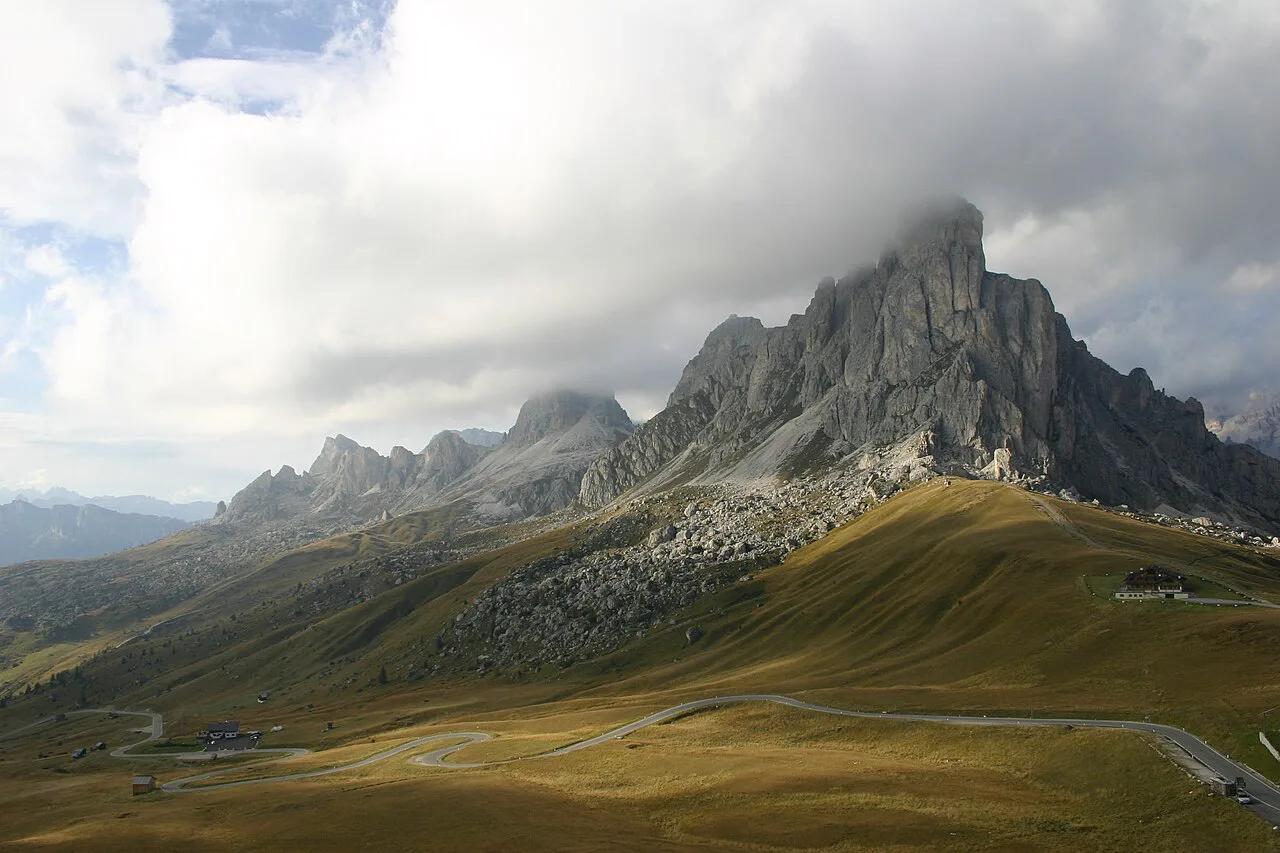
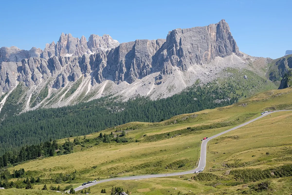
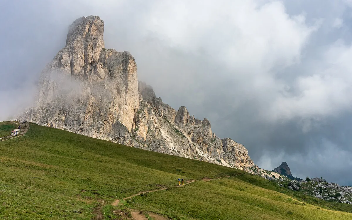
- Landmarks: Ra Gusela and Nuvolau rise above Cortina and shape the views from the pass.
- Road: SS638, a narrow mountain road with 29 hairpins and three avalanche galleries on the Selva di Cadore side, so allow extra time.
- Climbs: 10.1 km at an average 9.1% from Colle Santa Lucia, or 8.6 km at 8.3% on the Cortina side.
- Best for: drivers based near Cortina, motorbike riders, cyclists and photographers.
- Facilities: Rifugio Passo Giau sits at the top, with Rifugio Da Aurelio, Rifugio Fedare and Malga Giau lower down. Opening is seasonal, so do not plan the day around a hut being open.
Is Passo Giau Worth It? Go, Skip or Swap
Go if you are staying in or near Cortina d'Ampezzo and want a short, dramatic road with a rewarding summit. Cyclists and riders who enjoy tight bends will get the most from it. Photographers get a strong foreground for Ra Gusela and Nuvolau.
| Alternative | When to choose it |
|---|---|
| Passo Falzarego | A wider road and the easier neighbour near Cortina |
| Passo Rolle | Further south-west in Trentino, with fewer day-trippers |
| Stelvio Pass | A much larger Alpine climb in another region |
- Go: you have a car or bike, a clear-weather window and time to stop at the top.
- Skip: you dislike narrow roads, you tire of hairpins, or fog and rain are forecast.
- Swap for a wider road: Passo Falzarego Guide: Is the Pass Worth a Stop? is the easier neighbour near Cortina.
- Swap for a quieter option: Passo Rolle: Road, Skiing and Visit Guide lies further south-west in Trentino and draws fewer day-trippers.
- Swap for a bigger challenge: Stelvio Pass: When to Drive, Routes & Tips is a much larger Alpine climb in another region.
How to Get to Passo Giau
A car or motorbike gives the most freedom. Cortina d'Ampezzo and Selva di Cadore are the two natural approaches, and both ends of the road make a fine start. Direction is a matter of judgement. Climbing from the side that puts the sun behind you tends to help photos, and descending in daylight is easier on nerves. Without a vehicle, public transport is limited and seasonal. Ask the local Dolomiti bus operator or the Cortina tourist office about summer services, and consider a taxi or guided tour as a backup.
Best Time to Drive Passo Giau
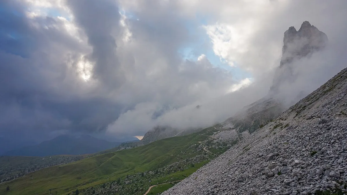
Late spring and early autumn can bring snow, ice and fog at altitude, and the road may close without much warning. Midsummer is the most reliable season, though weekends bring more motorbikes, cyclists and campervans. Early morning usually means lighter traffic and clearer views, while afternoon cloud often builds over the peaks. In winter, avalanches often block the exposed sections, so treat Giau as a summer and early-autumn road. Check the road status and a live webcam on the day, using the Cortina d'Ampezzo tourism site as your starting point.
Driving the Pass: What to Expect
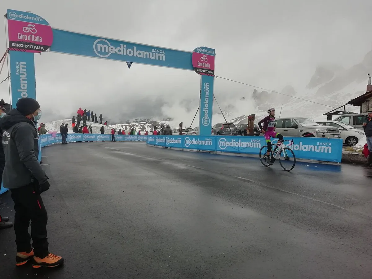
Expect a narrow road with tight bends and limited places to pass. Use a low gear on the descent so your brakes do not overheat. Give cyclists and motorbikes space, and stay well back on blind corners. Fill the tank before you start the climb, because fuel stops near the pass are not guaranteed. Parking at the top is informal and fills fast on clear summer days, so pull in only where it is safe and legal.
What to Do at the Top
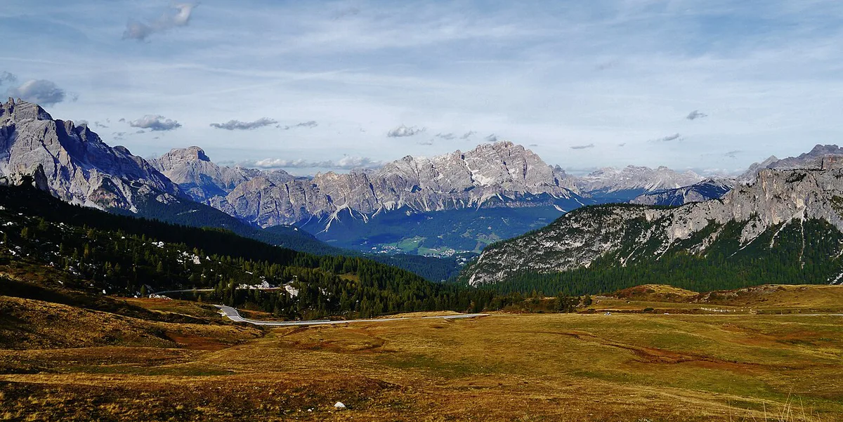
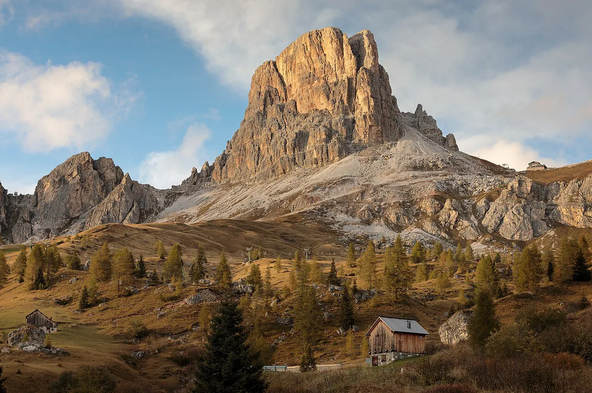
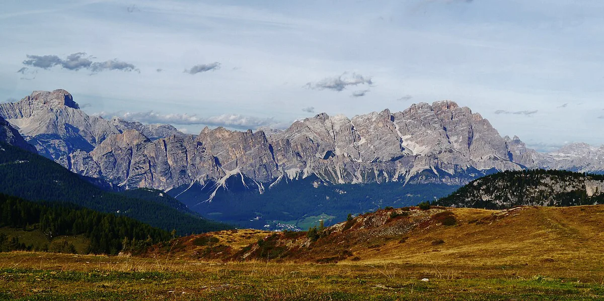
The main reward is the view. Ra Gusela rises just north of the pass, with Nuvolau (2,574 m) and Averau (2,647 m) behind it, and on clear days the view reaches the Marmolada, the Tofane and the Pale di San Martino. Short walks from the summit give you more angles for photos, and the Lagazuoi–Cinque Torri lift area is about 2 km away. Some mountain huts nearby may serve drinks and food, but opening depends on the season and the weather. Treat this as a driving pass first. Serious hikers should check trail conditions with the Cortina tourist office before setting out, since high routes hold snow late.
Combining Passo Giau With Other Passes
Passo Giau fits well into a longer drive. Start with the 6 Dolomites Road Trip Stops: Routes, Passes & Planning for the wider route, then pick a loop that matches your time and nerve.
- Easy loop: pair Giau with Passo Falzarego Guide: Is the Pass Worth a Stop? around Cortina for a short day.
- Classic route: add Giau to a day on the Great Dolomites Road: Route, Time, Season and Stops for more variety.
- Big day: link Giau with the Sella Ronda Guide: Direction, Timing, Passes, Costs if you start early and have strong light.
- Nearby passes: Passo Fedaia: Road Guide, Marmolada Views and Driving Tips, Passo Pordoi: Cable Car, Road & Cycling Guide, Passo Gardena (Gardena Pass): Dolomites Driving Guide and Passo Campolongo Guide: Corvara to Arabba Routes all add distance and scenery.
Costs and Money-Saving Notes
Driving the pass itself is low cost, since the main expenses are fuel and any parking or hut stop. Huts are moderate in price, and a taxi or guided tour is the highest-cost way to see the pass. Fares, fees and hours vary by season, so check them with the operator or tourism office. The Dolomites UNESCO site gives background on the wider region.
Which Side to Climb: Colle Santa Lucia or Cortina
The two sides of Giau feel different at the wheel. The southern side, from Selva di Cadore and Colle Santa Lucia, is the longer and steeper climb and carries almost all the hairpins. The Cortina side is shorter and gentler on average, with easier opening stretches that flatten the overall figure.
| Side | Climb | Average gradient | Character |
|---|---|---|---|
| Colle Santa Lucia / Selva di Cadore | 10.1 km | 9.1% | 29 hairpins and three avalanche galleries; the classic driving and cycling side |
| Cortina d'Ampezzo | 8.6 km | 8.3% | Easier opening stretches; the natural approach for drivers based in Cortina |
A simple plan for a first visit runs in four steps.
- Fill the tank in Cortina or the Cadore valley the evening before.
- Start from Cortina early, climb the gentler side and stop at the top while the light is clear.
- Descend the hairpin side in a low gear, and pull over only at marked lay-bys.
- Return to Cortina over Passo Falzarego to close the loop without repeating any road.
Frequently Asked Questions
When to avoid Dolomites?
Avoid the shoulder seasons if you need open high passes, because snow and ice can close roads. Avoid peak summer weekends if you dislike crowded roads and busy car parks. Look at the live road status on the morning you drive.
Is Passo Giau open in winter?
Winter driving on Giau is unreliable. Avalanches often block the exposed sections of the road, which is why the Selva di Cadore side has three avalanche galleries. Plan the drive for summer or early autumn, and look at the road status on the day before setting out in winter.
Road-rule changes worth knowing
Optional updates to our guides.
You might also like
Continue reading
More guides you'll find useful