Passo Fedaia: Road Guide, Marmolada Views and Driving Tips
Plan Passo Fedaia in the Dolomites, with the Marmolada glacier, the Canazei and Caprile approaches, steepness, season timing and nearby passes.
On this page
Last updated November 2026. Passo Fedaia is a Dolomites pass of about 2,050 m that links Canazei in Val di Fassa with Caprile in the Veneto. Its payoff is Lago di Fedaia and the Marmolada glacier directly overhead. Ladin speakers call the pass Jouf de Fedaa.
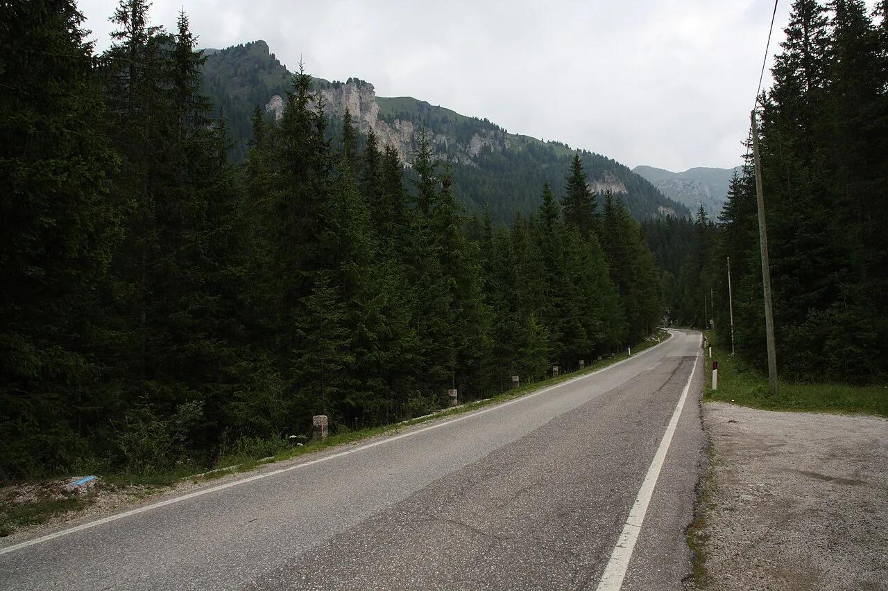
Featured image: Sönke Kraft aka Arnulf zu Linden, CC BY-SA 3.0, via Wikimedia Commons.
Passo Fedaia at a glance
Passo Fedaia sits on the Trentino and Veneto border, below the Marmolada massif. The road runs along the edge of the Fedaia reservoir and crosses its dam. Published elevations differ by ten metres: 2,047 m in one Alpine pass catalogue and 2,057 m in another. Both are surveying-level differences, so about 2,050 m is a safe figure. Canazei lies about 13 km from the summit and Caprile about 14 km, so the full crossing is roughly 27 km. Local tourism offices such as Val di Fassa tourism publish current road information.
- Elevation: about 2,050 m (sources list 2,047 m and 2,057 m)
- Joins: Canazei (Trentino, about 1,450 m) and Caprile (Veneto, about 1,014 m)
- Distance to summit: about 13 km from Canazei, about 14 km from Caprile
- Surface: asphalt
- Cost: no toll is listed in the pass databases; your costs are fuel, parking and food
- Season: no reliable opening dates are published in those databases, so check the road authority before you go
Is Passo Fedaia worth it?
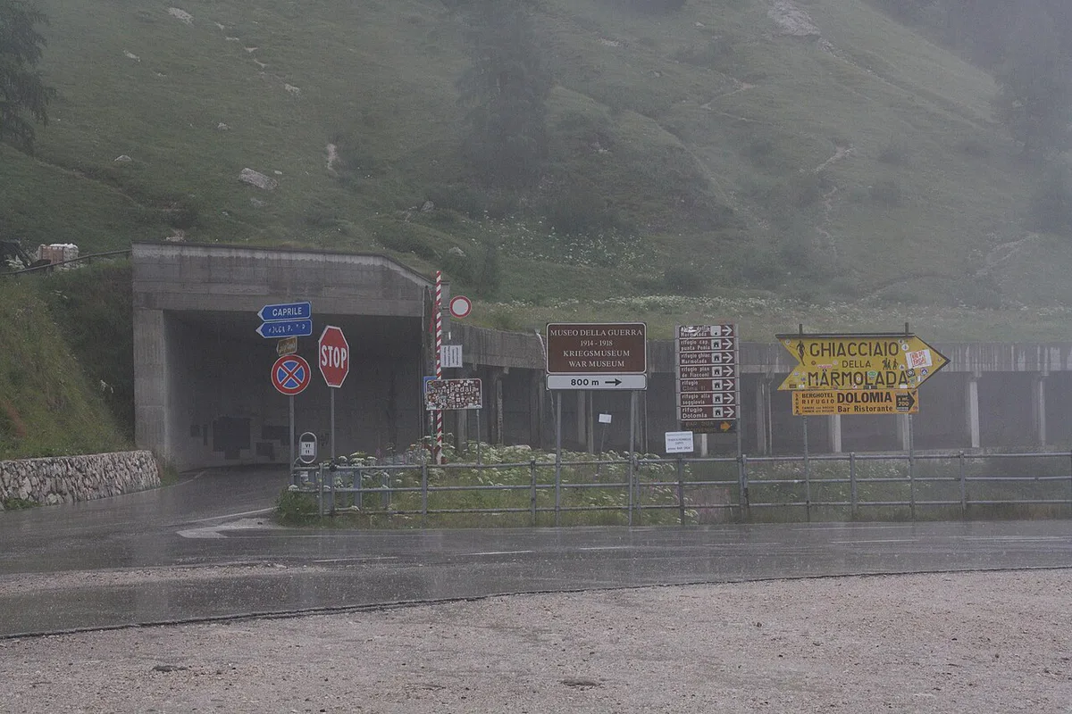
Yes, if you want a short crossing with a large payoff. Roughly 27 km of road takes you past a reservoir and under a glacier. Few Dolomites passes pack that much scenery into so little distance. Skip it in fog, snow or heavy cloud, because the Marmolada wall is the reason to go. Nervous drivers should also weigh the steep eastern descent. Motorcyclists and cyclists get the best of it, as the road is asphalt and one pass database rates it medium difficulty for motorcycles. Without a car, you will need a local bus or a taxi from Canazei, so check current timetables with the valley tourism office.
- Drivers: easy to add to a pass loop
- Motorcyclists: medium difficulty, sweeping asphalt
- Cyclists: a long, hard climb from the Veneto side
- Non-drivers: possible only with local transport, so plan ahead
Driving the pass: Canazei side vs Caprile side
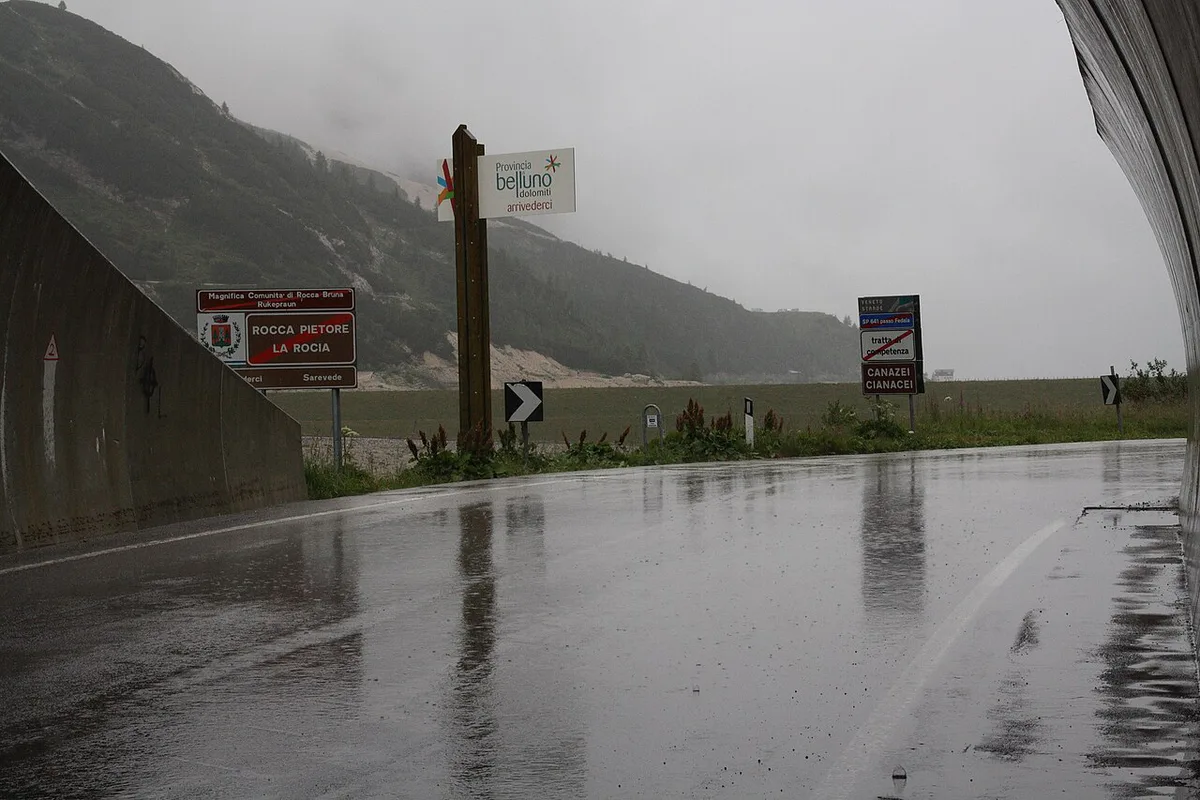
Both approaches reach the same lake and dam, but they feel different. Canazei sits at about 1,450 m, so the western climb gains roughly 600 m over about 13 km. Caprile sits at about 1,014 m, so the eastern climb gains over 1,000 m in about 14 km. One pass catalogue calls the east side long and steep, with a maximum gradient of 16%. That is a reason to drive it uphill if you dislike long descents with a heavy load of brake heat. Starting from Canazei gives a gentler climb and puts the glacier in front of you as you descend toward the Veneto.
Caprile side climbs to a maximum gradient of 16%. Underestimating the steep descent toward Caprile is a common mistake.
| Approach | Start altitude | Distance to summit | Character |
|---|---|---|---|
| Canazei (Trentino) | about 1,450 m | about 13 km | Gentler climb, lake appears near the top |
| Caprile (Veneto) | about 1,014 m | about 14 km | Long and steep, maximum gradient about 16% |
What to see at the top
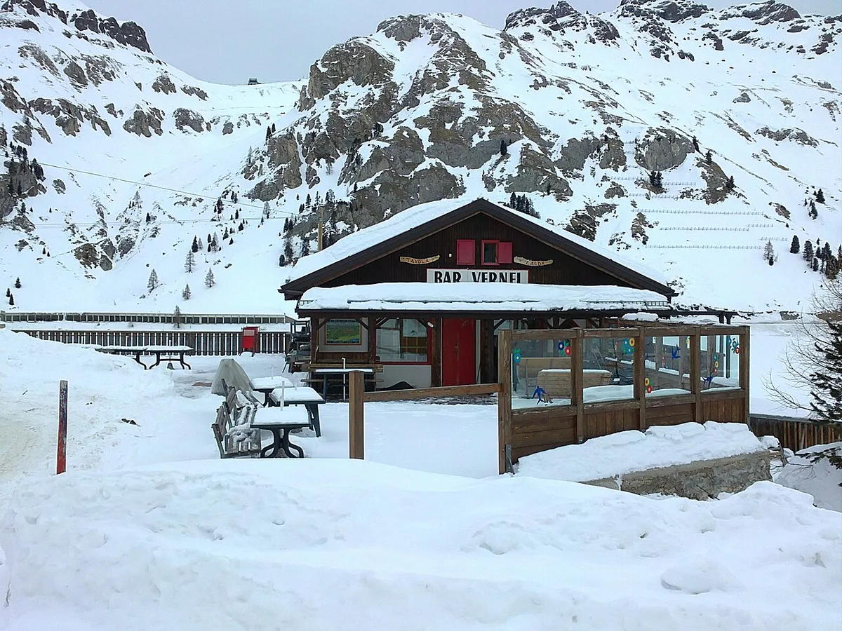
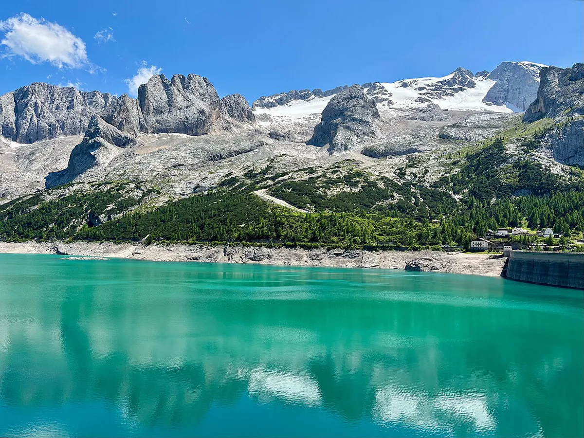
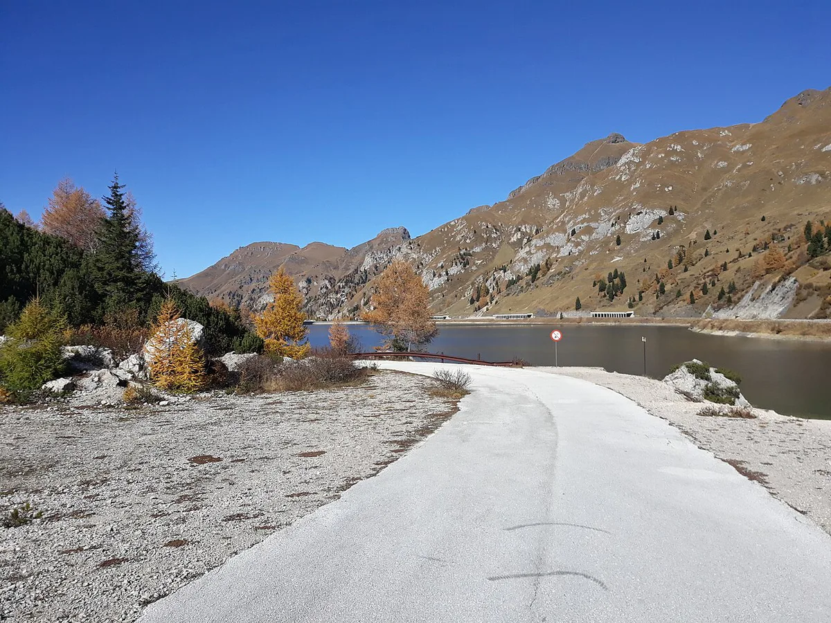
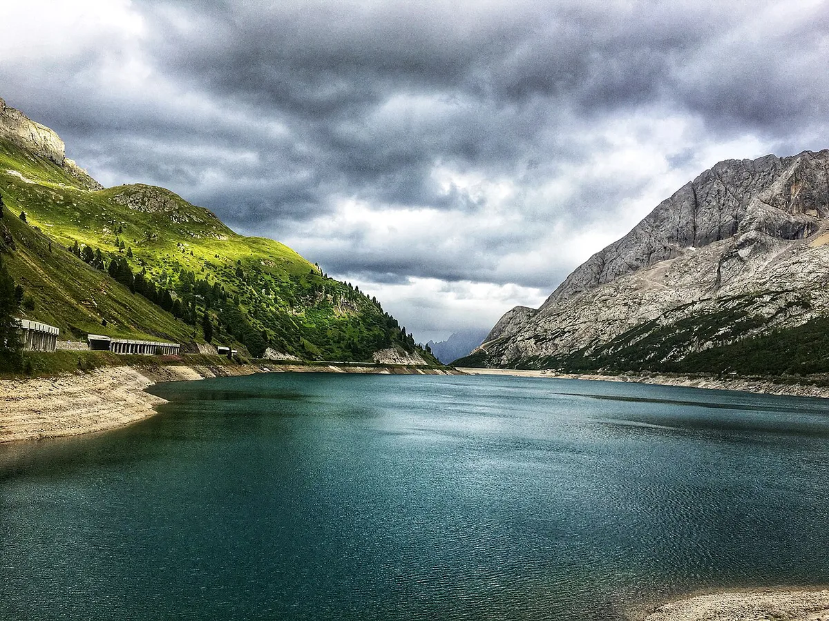
Lago di Fedaia lies beside the summit at about 2,070 m. The dam at its western end is the main photo stop. From here the Marmolada massif fills the skyline. Its highest summit is quoted at 3,343 m, which makes it the top of the Dolomites. Pian de Lobbia, a broad meadow area, opens up near the lake and works as a quieter pull-off. Park only in marked areas, and keep clear of the dam road so traffic can pass. For lifts or hiking routes on the Marmolada, ask the local tourism office, as services change by season.
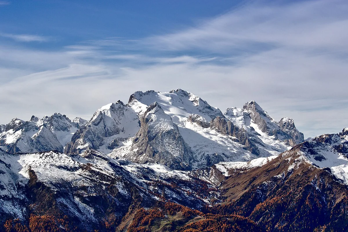
Marmolada's summit reaches 3,343 m, so the pass at about 2,050 m gives you a view looking up.
Season, weather and road status
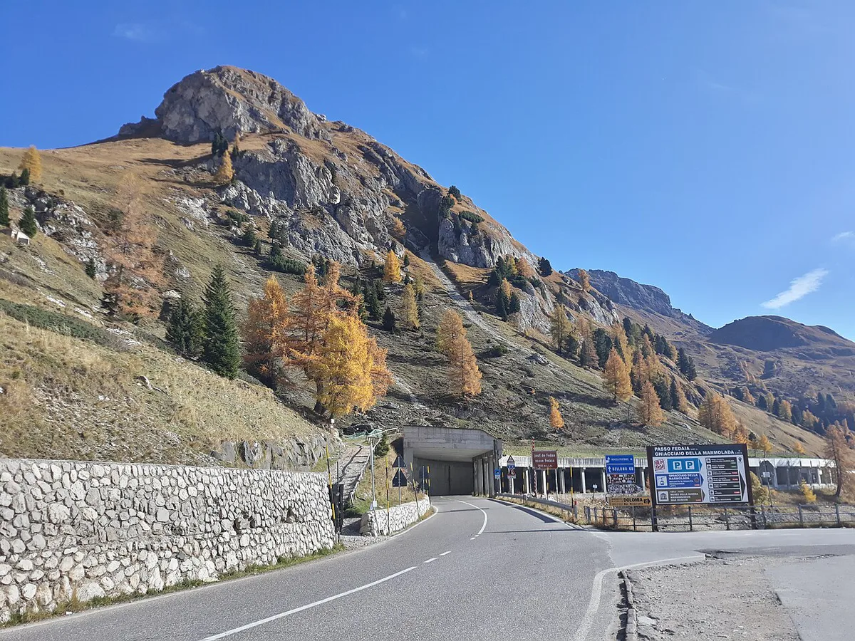
Passo Fedaia is a high pass at about 2,050 m, so snow and ice are possible well into spring and again in autumn. Published databases give no reliable opening dates, so confirm the status with the provincial road authority in Trento or the Veneto road office before you travel. Mornings usually bring clearer views of the glacier, while cloud tends to build by midday. Treat the Marmolada glacier with caution. In July 2022 part of it collapsed, and ice and rock fall remain a risk in the glacier zone. Stay on marked paths and obey every closure sign. Visit Trentino lists current regional alerts.
Where it fits in a Dolomites itinerary
Fedaia works as a link between larger loops. Start with the wider 6 Dolomites Road Trip Stops: Routes, Passes & Planning to place it. From Canazei you can add Passo Pordoi: Cable Car, Road & Cycling Guide in the same day. The pass also sits close to the Sella Ronda loop, which circles the Sella massif. On the Veneto side, you can continue toward Passo Falzarego Guide: Is the Pass Worth a Stop? and Passo Giau: Is the Dolomites Pass Worth the Detour?. Add Passo Campolongo Guide: Corvara to Arabba Routes if you want a longer circuit. The broader Great Dolomites Road: Route, Time, Season and Stops gives context for the full route. Allow a short stop for a quick visit and a half day if you want time at the lake.
Practical logistics
Canazei is the main base for fuel, food and parking on the western side. Fill up before you climb, because services near the summit are limited. On the Veneto side, Caprile and nearby villages offer supplies. Cyclists should expect a hard climb, and e-bike riders should check charging options in advance with the tourism office. Public bus services run between valleys, but timetables change by season, so check current schedules locally. No road toll is listed, so budget for fuel, parking and meals rather than a pass fee.
Common mistakes
A few errors cause most of the problems on this road.
- Arriving late, when cloud often hides the Marmolada
- Assuming the pass is open in shoulder season
- Underestimating the steep descent toward Caprile
- Skipping the lake stop and dam viewpoint
- Entering the glacier area without checking closures
Road-rule changes worth knowing
Optional updates to our guides.
You might also like
Continue reading
More guides you'll find useful