Mortirolo Pass: Sides, Difficulty & Planning Guide
Plan Mortirolo Pass: compare the climbing sides, check difficulty, season and road conditions, and decide whether to ride, drive or skip it.
On this page
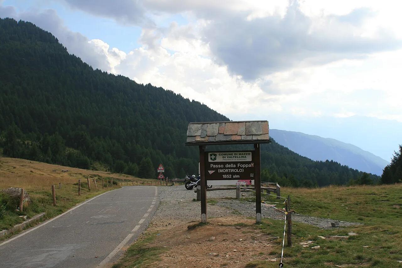
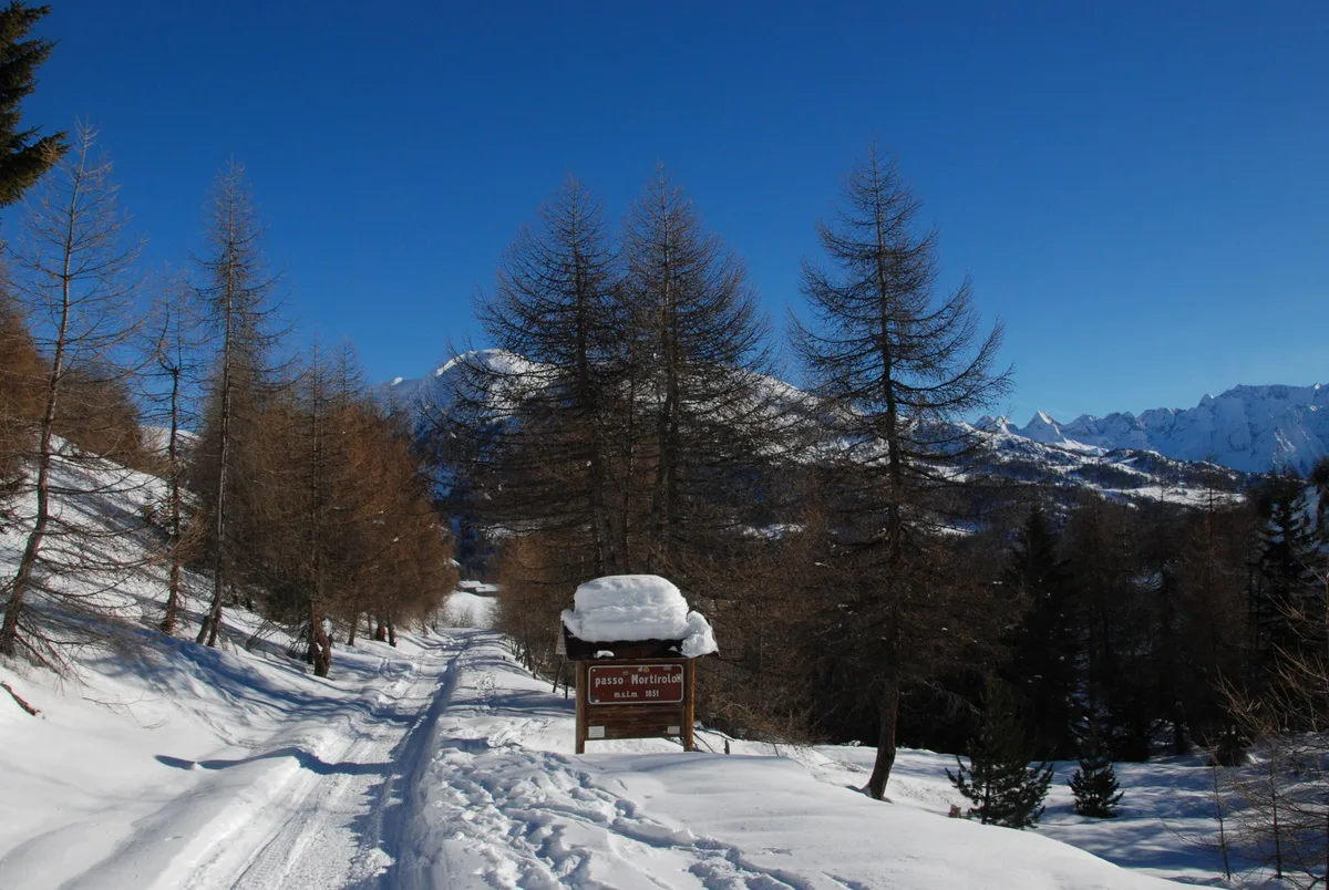
Last updated November 2026. Mortirolo Pass (Passo del Mortirolo) is a steep, narrow mountain road in Lombardy, best known as a cycling climb. It links the Valtellina side near Mazzo di Valtellina with the Monno side toward Ponte di Legno. Mortirolo is not in the Dolomites, so treat it as a detour for an Alpine pass trip, not a Dolomites stop.
Featured image: Gabri80, CC BY-SA 3.0, via Wikimedia Commons.
Mortirolo Pass At A Glance
Mortirolo sits in the Lombard Alps, near Stelvio, Gavia and Tonale. Cyclists know it as one of the hardest climbs in Europe because of its sustained gradients. Its summit stands at 1852 m. The classic Mazzo di Valtellina ascent is 11.4 km long, gains 1257 m and averages 11.0%. Locals also call the pass Passo della Foppa. If you want a Dolomites base with easy passes, this is a long detour. If you want a famous climb, it is worth the trip.
- Location: Lombardy, between Mazzo di Valtellina and Monno
- Summit: 1852 m
- Mazzo side: 11.4 km, 1257 m of climbing, 11.0% average
- Road: narrow, forested, with imperfect asphalt
- Best for: strong cyclists, confident drivers and motorcyclists
Which Side To Take: Mortirolo Approaches Compared
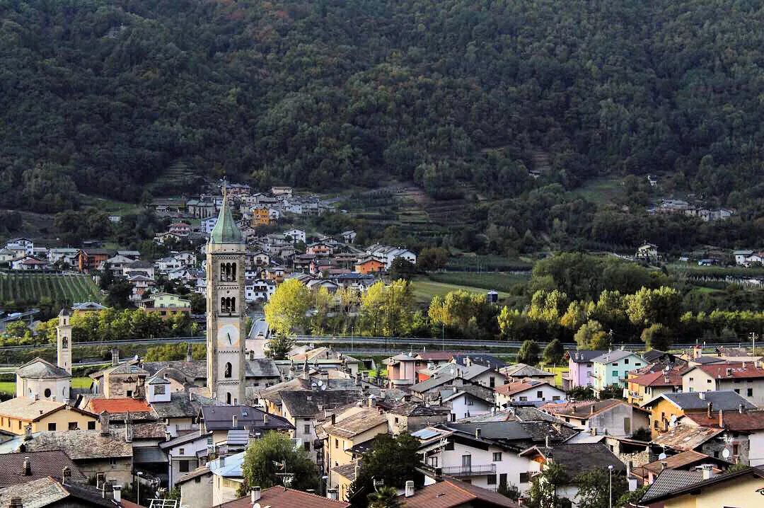
Mortirolo can be climbed from several villages. Mazzo di Valtellina is the traditional side and the one the Giro d'Italia has often used. Other starts include Grosio, Tovo S. Agata, Aprica and Bormio. The Bormio start belongs to the Stelvio Epic Rides route. Per-side lengths and gradients are only given for Mazzo here, because other figures vary between route trackers. Use the Valtellina tourism board for current route maps. First-timers should start with Mazzo, since its profile is the best documented.
| Approach | Start village | Connects to | Suits |
|---|---|---|---|
| Mazzo di Valtellina | Mazzo di Valtellina | Valtellina side | Classic ascent, strong cyclists |
| Grosio | Grosio | Valtellina side | Riders wanting a different start |
| Tovo S. Agata | Tovo S. Agata | Valtellina side | Riders who have done Mazzo |
| Aprica | Aprica | Aprica side, via Pian di Gembro or Monno | Riders based near Aprica |
| Bormio | Bormio | Stelvio Epic Rides link | Multi-pass cycling days |
How Hard Is Mortirolo?
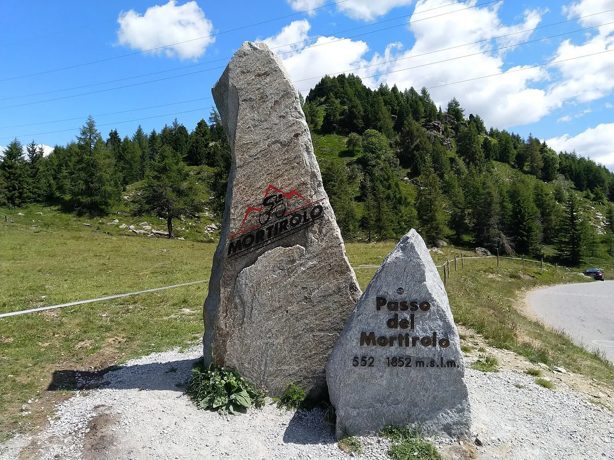
Expect a wall from the first turn in Mazzo. The road rises at about 10% almost immediately, and that is the easy part. Hairpins are numbered, with 33 bends to the summit. After about 3 km the gradient climbs toward 15% in dense forest. A published maximum of 13.9% sits oddly beside reports of 14-15% stretches, so plan for sustained double-digit pitches without relief. A Pantani monument appears at about km 8, roughly two thirds of the way up. Soon after, a turn-off leads toward Grosio, which you should ignore. The last 3 km still touch 14-15%, though the easier sections are longer. Near the top you pass a small restaurant in open fields. It is not the summit. Four more bends remain after it. Cyclists should fit the lowest gearing their bike allows.
Driving Or Riding Mortirolo: Road, Vehicles And Who Should Skip It
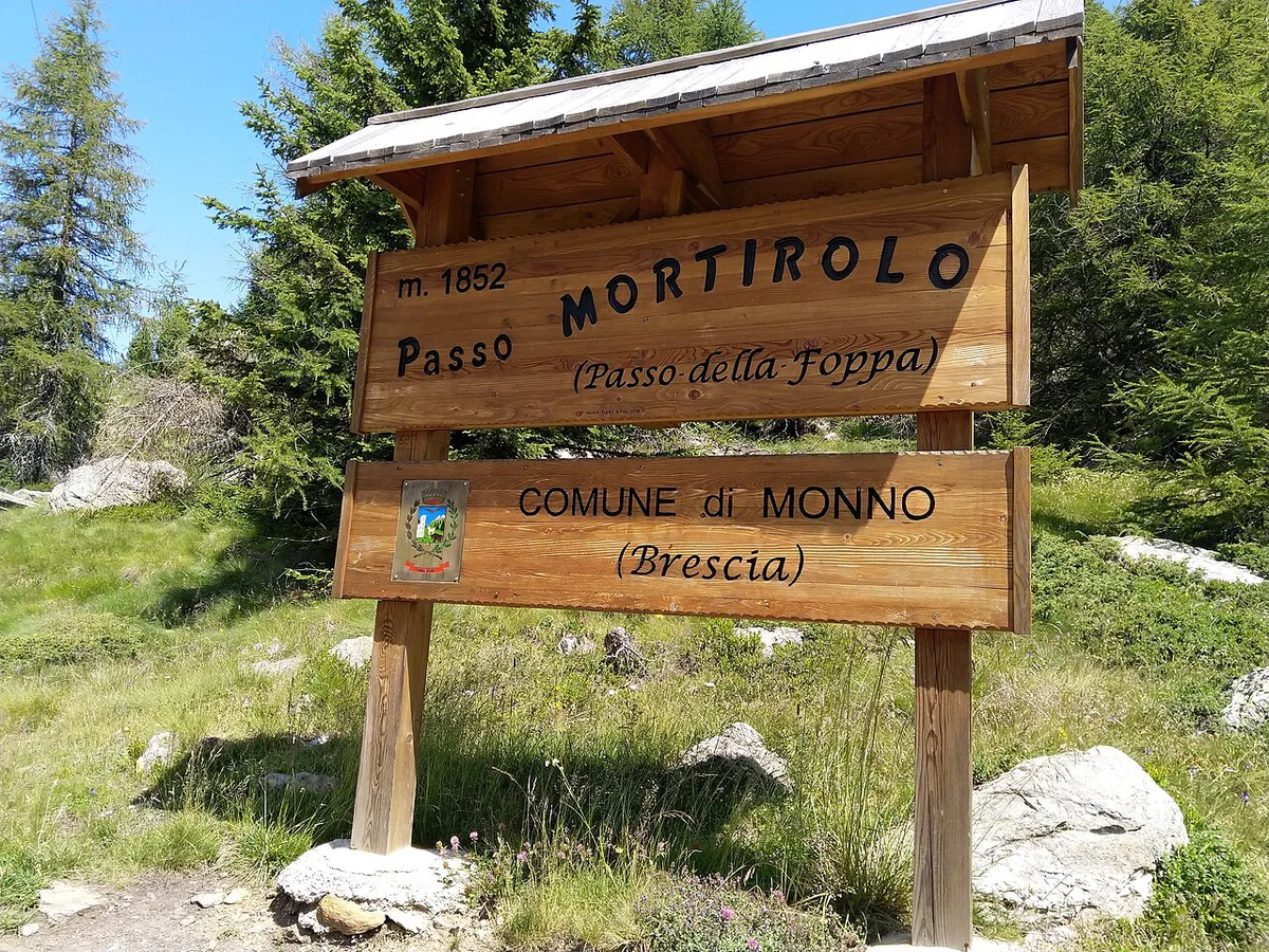
Narrow asphalt and forest cover define the road. Passing oncoming traffic can force one vehicle to stop or reverse. Cars and motorcycles handle it well if you drive calmly. Large camper vans, towed trailers and nervous drivers should skip it. Check current vehicle limits with local authorities before you commit. On a bike, descend slowly. Long braking on steep bends overheats rims and brakes. In a car, use a low gear and let the engine hold your speed. There is no entry ticket for the road. Check current status for any fee or closure notice.
Its 33 bends to the summit are steep and narrow, so large camper vans and towed trailers are best avoided here.
- Bike: strongest case for Mortirolo, but gearing and braking matter
- Motorcycle: fine for experienced riders who can stop on steep, narrow bends
- Car: workable if you are comfortable reversing on a gradient
- Camper van or towing: best avoided
When To Go: Season, Opening Status And Weather
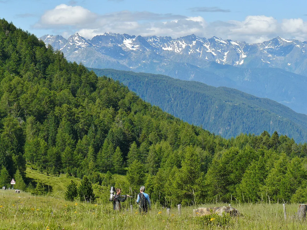
Mortirolo is a high mountain pass, so expect snow-related closures outside summer. No fixed opening date can be promised. A social post has reported a spring reopening in May, but the year varies. Check the regional or provincial road authority for the day you plan to go, and look up the Lombardy regional weather forecast. Weather can change quickly at 1852 m. Pack layers even on a warm valley day. Heat on the forested lower slopes can turn to cold wind near the top.
How To Plan Your Time
Allow a half day for a single Mortirolo climb by bike, including the descent and a food stop. Fit riders will finish sooner, and others will need longer. A full day lets you pair it with another climb. Services are thin on the road itself, apart from one small restaurant near the top, so carry food, water and layers. Mortirolo works well on a rest day between harder rides. For Alpine pass trips, pair it with the Stelvio climb or the Gavia climb. Riders linking passes often use Bormio as the connecting point. Drivers can fit Mortirolo before heading to the Tonale crossing.
Where To Stay And How To Get There
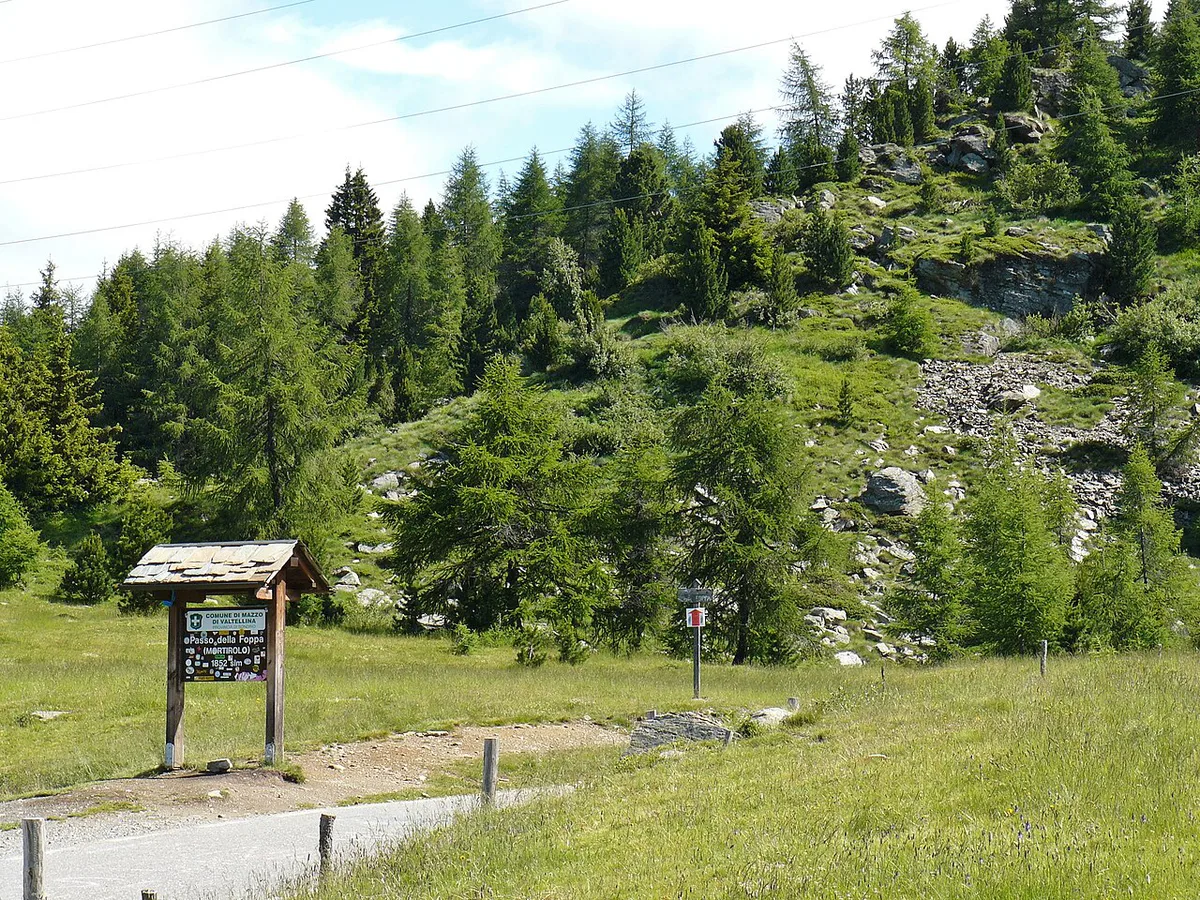
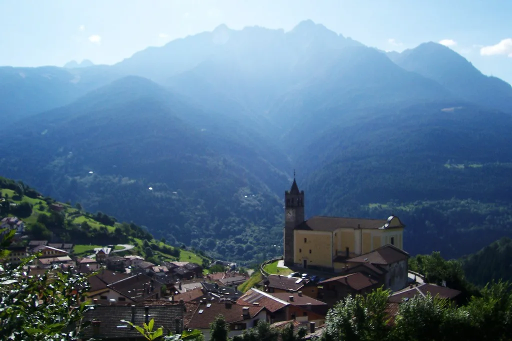
Base choice depends on the side you want. Mazzo di Valtellina and the Valtellina side suit the classic ascent. Aprica works for the Aprica start and a quieter valley position. Bormio works if Stelvio is also on your list. The Monno side leads toward Ponte di Legno, and the Ponte di Legno Tonale tourism site lists local services. Use an official map to check how each valley road connects before booking. Fuel and food up before you start, because there are no services along the climb itself.
Basing yourself in Mazzo di Valtellina puts the 1257 m classic ascent within easy reach of your hotel.
Mortirolo In The Context Of Nearby Passes
Mortirolo belongs with Stelvio, Gavia and Tonale, all in the Lombard Alps. Stelvio and Gavia are the big-name neighbours, so doing Mortirolo on a separate day keeps your legs fresh. If you continue east afterwards, our Dolomites itinerary covers the wider Italian Alps route. The Dolomite road route is a good next step for drivers. Cyclists heading that way can check Passo Giau: Is the Dolomites Pass Worth the Detour? and Passo Pordoi: Cable Car, Road & Cycling Guide.
- Mistake: setting off without checking opening status
- Mistake: underestimating a gradient that rarely eases
- Mistake: carrying too little food and water
- Mistake: descending too fast on narrow bends
Road-rule changes worth knowing
Optional updates to our guides.
You might also like
Continue reading
More guides you'll find useful