Gavia Pass: Driving & Cycling Guide, Both Sides
Plan Gavia Pass: Bormio vs Ponte di Legno, road conditions, season, difficulty and what to know before you go.
On this page
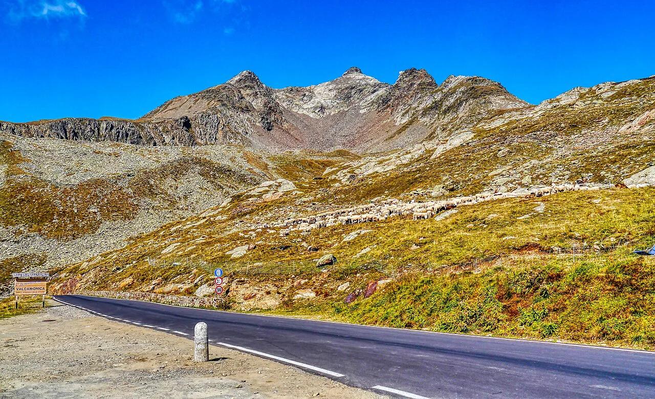
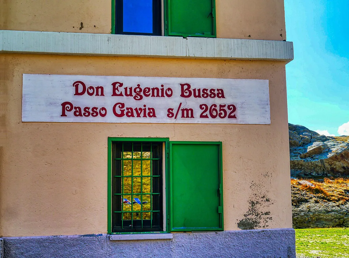
Last updated November 2026. Gavia Pass (Passo di Gavia) is a high Lombardy road between Ponte di Legno and Santa Caterina Valfurva, with the summit at 2,652 m (about 8,700 ft). You can drive or cycle it from either side, and this guide shows which approach suits you, how narrow the road gets and when to go.
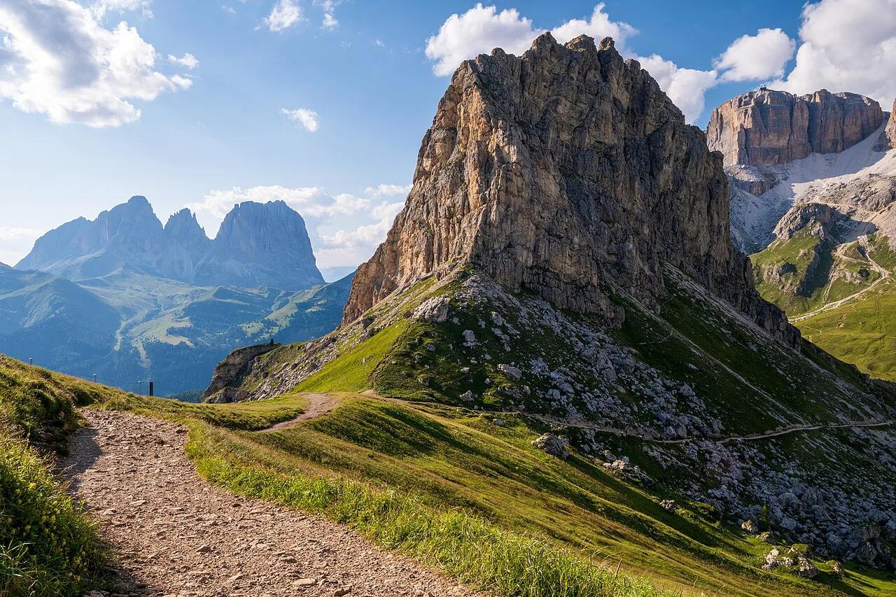
Featured image: Zairon, CC BY-SA 4.0, via Wikimedia Commons.
Gavia Pass at a glance
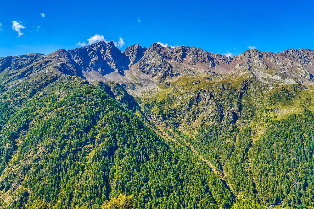
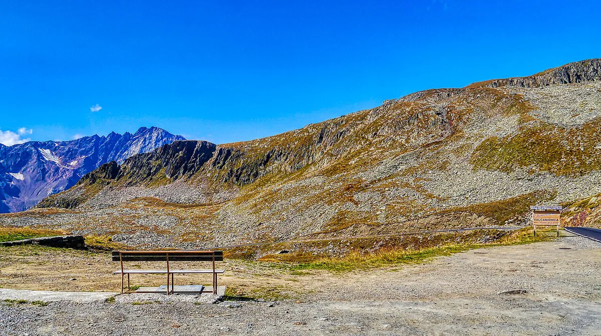
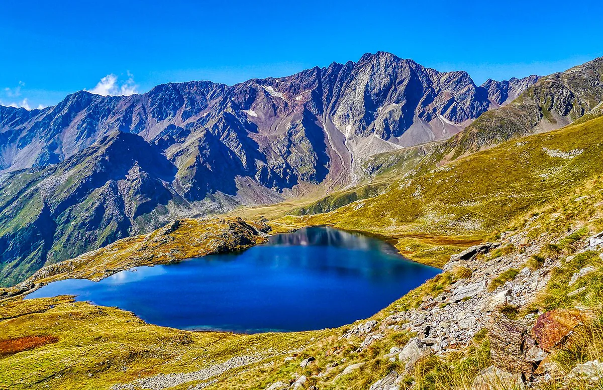
Gavia sits inside Stelvio National Park, on the Lombardy side of the Alps. Local tourism listings put the summit at 2,652 m, and other listings round it slightly lower. Santa Caterina Valfurva lies on the Bormio side, and Ponte di Legno anchors the other. Details on the park are on the Stelvio National Park site. Plan for cold air at the top even in summer.
| Detail | Gavia Pass |
|---|---|
| Summit elevation | 2,652 m (about 8,700 ft) |
| Region | Lombardy, in Stelvio National Park |
| Approaches | From Bormio via Santa Caterina Valfurva, or from Ponte di Legno |
| Road | Narrow mountain road; reports mention rough sections |
| Best for | Confident drivers and strong cyclists |
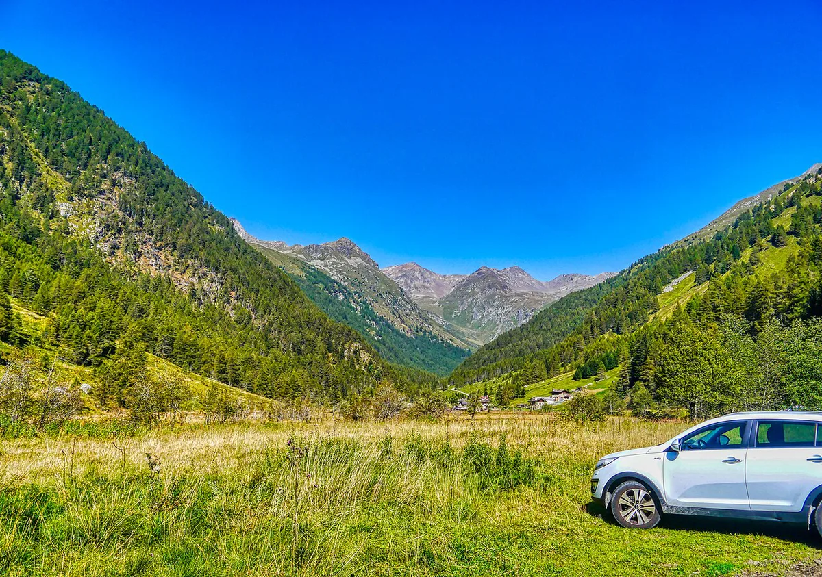
Which side of Gavia Pass should you take?
Bormio gives the longer, gentler approach. Ponte di Legno gives the shorter, steeper climb. The two sides are measured differently, so treat the gradient figures as a rough guide rather than a like-for-like score. From Bormio you cover 25.6 km (15.9 miles) at an average of 5.5%, with a maximum of 15%. About 13 km of that is the valley road to Santa Caterina Valfurva. From Ponte di Legno the climb is 10.2 miles (16.4 km), with 4,327 ft (about 1,319 m) of ascent at roughly 8%. Its steepest segment reaches 14.6%.
| Factor | Bormio side | Ponte di Legno side |
|---|---|---|
| Distance | 25.6 km (15.9 miles) | 10.2 miles (16.4 km) |
| Average gradient | 5.5% | About 8% |
| Steepest point | 15% | 14.6% |
| Road character | Narrow road in Val di Gavia, no hairpins | 18 hairpin turns |
| Start-town services | Bormio and Santa Caterina Valfurva | Ponte di Legno |
| Suits | Drivers who want a gradual build; cyclists pacing a long day | Cyclists who want a shorter, harder effort |
- Choose Bormio if you want a long warm-up, plenty of services before the climb and a gentler average slope.
- Choose Ponte di Legno if you want a shorter climb and are happy with hairpins and a steeper pitch.
- Skip the pass if narrow, exposed mountain roads make you nervous.
Driving Gavia Pass: road width and etiquette
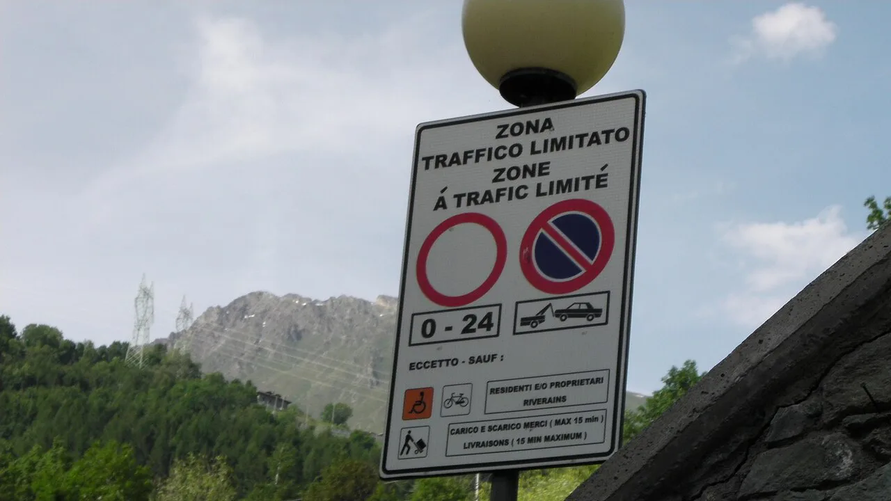
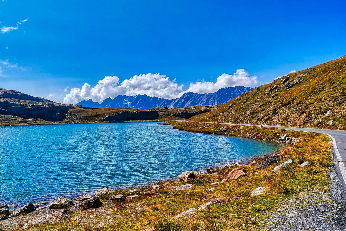
Expect a narrow road with few places to pass. On the Bormio side, Val di Gavia has a narrow road with no hairpin turns up to the summit. On the Ponte di Legno side, the 18 hairpins demand slow, careful steering. Reports also describe rough patches along the way, so keep your speed down and watch the surface. Meet oncoming traffic at a wide point, and let uphill vehicles go first where you can. Fill your tank and buy food in Bormio, Santa Caterina Valfurva or Ponte di Legno before you start. There is little on the road itself apart from mountain huts. Camper vans, trailers and other large vehicles should check current restrictions with local authorities before committing. If your vehicle is wide or long, treat this road as a skip.
Ponte di Legno's 18 hairpins are the trade-off for its shorter climb, while Bormio's approach has none.
Cycling Gavia Pass: effort, gearing and pacing
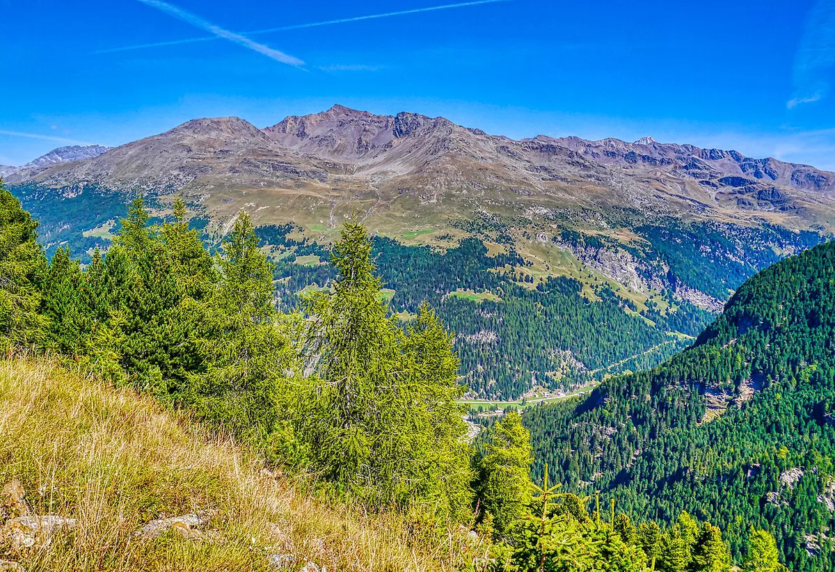
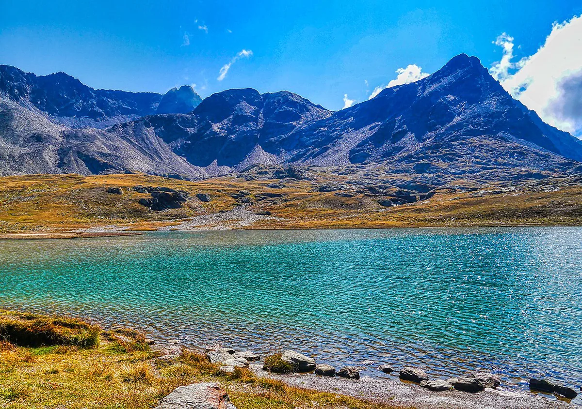
From Ponte di Legno, the profile starts with kilometres near 5%, then tightens through hairpins. One rider review describes stretches up to about 15% in the middle section. From Bormio, the hard part begins after the Rezzalasco stream, where a demanding 5 km stretch starts. Easing follows near Rifugio Berni, a few lakes and Rifugio Bonetta. Your time depends on fitness, pacing and the thin air at roughly 2,650 m, so published climb times matter less than your own steady rhythm. Choose a low gear for the steep pitches, since 14.6% and 15% sections arrive after you have already worked. Carry a windproof layer, gloves and arm warmers for the summit. Descending the narrow, blind bends is slow work, so brake early and stay on your own side.
Bormio's approach carries about 13 km of valley road, while a demanding 5 km stretch begins past the Rezzalasco stream.
Season, closures and road conditions
A pass at 2,652 m closes in winter, and opening dates shift from year to year. Check the Bormio tourism board and the provincial road authority before you set out. Look at a webcam on the morning of your trip as well. Start early, because mountain weather often turns later in the day. Do not assume the road is open in early or late season.
Where to base yourself
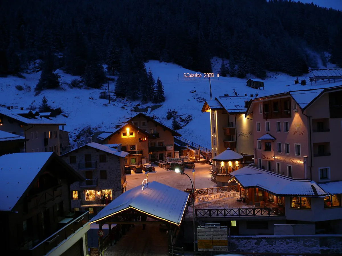
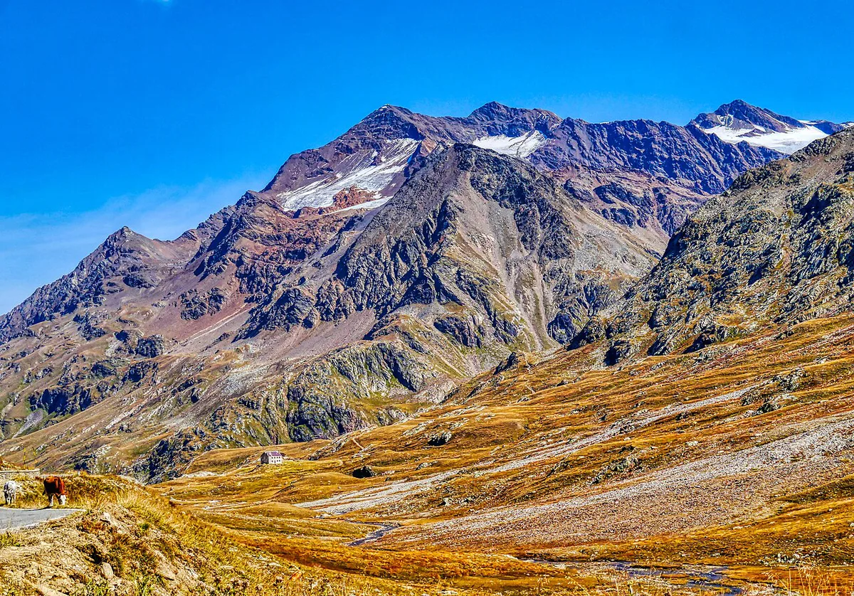
Bormio is the largest base and suits a Bormio-side climb with the most choice of hotels and restaurants. Santa Caterina Valfurva puts you 13 km up the valley, right at the point where the climb gets tough. Ponte di Legno is the base for the shorter, steeper approach. Public transport to the summit is limited, so check timetables locally. For a one-way crossing, plan the return: leave a second vehicle at the far end, ride back, or arrange a transfer. Many cyclists simply go up and return the same way.
Fitting Gavia into a bigger trip
Gavia sits in the Ortler-Cevedale area, not the Dolomites proper. Treat it as a side trip from the circuit in our 6 Dolomites Road Trip Stops: Routes, Passes & Planning guide. From a Bormio base, pair it with the Stelvio Pass: When to Drive, Routes & Tips on another day. Cyclists can add the Mortirolo Pass: Sides, Difficulty & Planning Guide for a hard Lombardy day. If you are continuing east afterward, Passo del Tonale: Ski, Drive and Getting There Guide lies on the way toward the Dolomites and the Great Dolomites Road: Route, Time, Season and Stops.
- Starting late in the day, when weather and traffic worsen.
- Underestimating cold and altitude at the summit.
- Descending the narrow side without checking brakes first.
- Assuming the road is open early or late in the season.
Frequently Asked Questions
Is Stelvio in the Dolomites?
No. Stelvio lies in the Ortler Alps, and Stelvio National Park covers the area. Gavia also sits in this region of Lombardy, not the Dolomites. Our Stelvio Pass guide covers the climb in detail.
Road-rule changes worth knowing
Optional updates to our guides.
You might also like
Continue reading
More guides you'll find useful