Passo Falzarego Guide: Is the Pass Worth a Stop?
Plan Passo Falzarego with a quick verdict, who should stop, season and access checks, Lagazuoi and nearby points, and route fit.
On this page
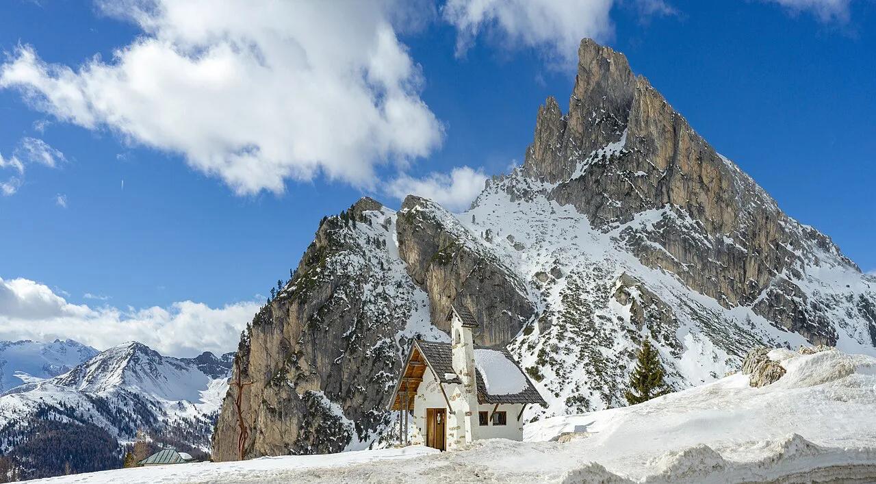
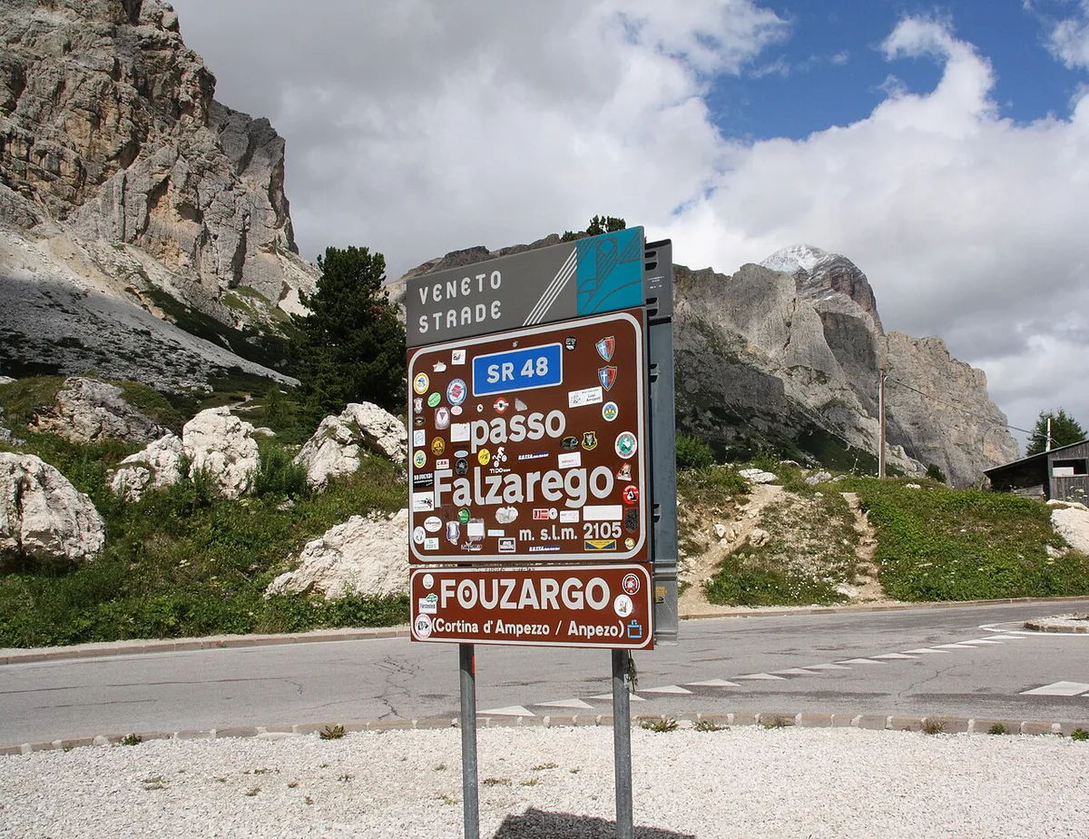
Last updated November 2026: Passo Falzarego is a high mountain pass in the province of Belluno, Italy, at about 2,117 m (roughly 6,950 ft). It connects Cortina d'Ampezzo with the village of Andraz. This guide helps you decide whether to stop, how long to allow and what to check before you drive up.
Featured image: This Photo was taken by Wolfgang Moroder. Feel free to use my photos, but please mention me as the author and send me a message. This image is not in the public domain. Please respect the copyright protection. It may only be used according to the rules mentioned here. This specifically excludes use in social media, if applicable terms of the licenses listed here are not appropriate. Please do not upload an updated image here without consultation with the Author. The author would like to make corrections only at his own source. This ensures that the changes are preserved.Please if you think that any changes should be required, please inform the author.Otherwise you can upload a new image with a new name. Please use one of the templates derivative or extract., CC BY-SA 3.0, via Wikimedia Commons.
Is Passo Falzarego Worth a Stop?
Yes, if you are already driving between Cortina d'Ampezzo and the Andraz side. At 2,117 m, the pass sits well above the valley floors on either end. It works as a short scenic halt or as the base for a longer high-altitude outing. Weather decides which of the two you get. Our editorial view is that the real draw is what sits above the road, not the saddle itself.
- Stop here if you want a high-altitude viewpoint on a Cortina to Andraz drive.
- Stop here if you plan to ride a lift or hike toward Lagazuoi.
- Stop here if you are building a multi-pass day and want a clear anchor point.
- Skip it if cloud sits on the summits and you have no time to wait.
- Skip it if you only have a free hour and want a lower, easier walk instead.
- Skip it if you are visiting in a season when the road status is unclear.
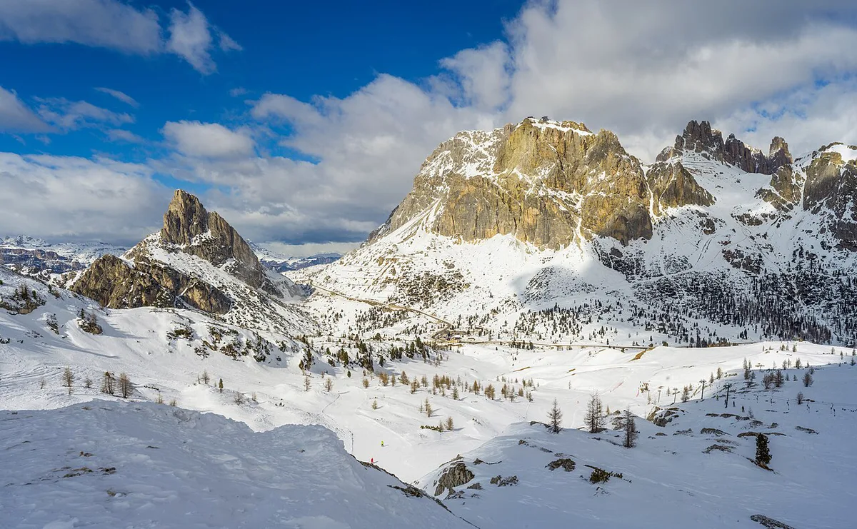
Where Passo Falzarego Fits on a Dolomites Route
Falzarego links Cortina d'Ampezzo with Andraz, and the notes for this route continue toward Arabba. That puts it on the western leg out of Cortina. Our Great Dolomite Road guide explains how this pass fits the wider drive. For a full multi-day plan, start with the Dolomites road trip itinerary. Pair Falzarego with Passo Giau: Is the Dolomites Pass Worth the Detour? if you want a second pass the same day. Check a road map for the exact connection before you commit to that order. Continuing toward Arabba opens up Passo Pordoi: Cable Car, Road & Cycling Guide and the Sella Ronda loop. The table below gives planning estimates, not sourced figures.
A roadside stop takes 20 to 40 minutes, which leaves room to pair Passo Giau on the same day.
| Stop type | Time (estimate) | Effort | Season | Best for |
|---|---|---|---|---|
| Roadside viewpoint | 20 to 40 minutes | Low | Snow-free months | Drivers on a pass-hopping day |
| Lift-assisted outing to Lagazuoi | Half a day | Low to moderate | When the lift runs | Families, photographers, history-minded visitors |
| Hike to higher points | Half to full day | High | Summer, good weather | Hikers with mountain experience |
| Winter ski-area visit | Full day | Moderate | Winter | Skiers and snowboarders |
What to Do Here: Lagazuoi, Sass de Stria and Col dei Bos
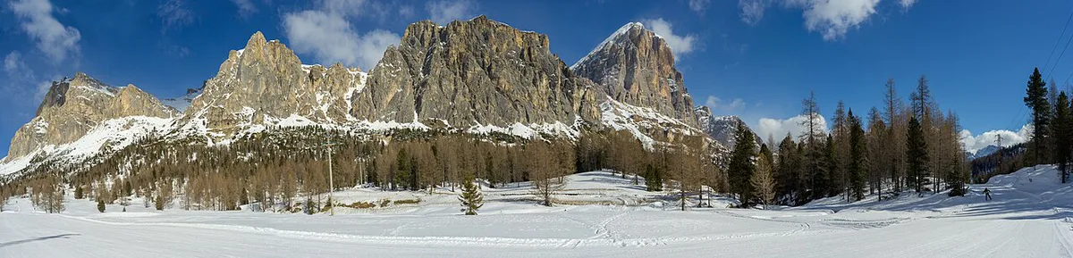
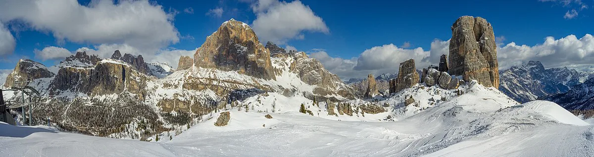
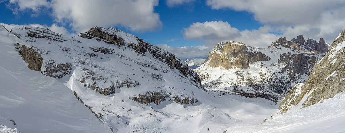
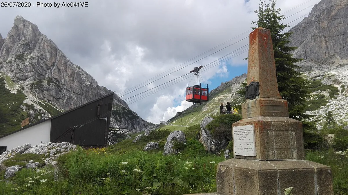
Three high points surround the pass. Lagazuoi tops them at 2,778 m. Col dei Bos reaches 2,559 m, and Sass de Stria stands at 2,477 m. Lagazuoi has a cable car, which is the easy way up. Cinque Torri is also nearby and gets a mention as a separate outing. Access methods and hours for each point change by season, so read the official listings on the Cortina d'Ampezzo tourism site.
Lagazuoi (2,778 m) is the highest point here, and its cable car is where an early start matters most.
- Lagazuoi (2,778 m): the highest of the three and the best choice if you want a big view for little effort by cable car.
- Col dei Bos (2,559 m): a mid-height option for walkers who want elevation without the Lagazuoi crowds.
- Sass de Stria (2,477 m): the lowest of the three and the gentlest step up if the weather is unsettled.
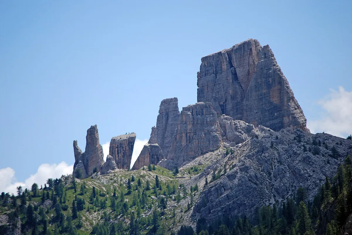
- Cinque Torri: a separate rock-tower area nearby, worth a second half-day rather than a quick add-on.
Season, Weather and Road Access
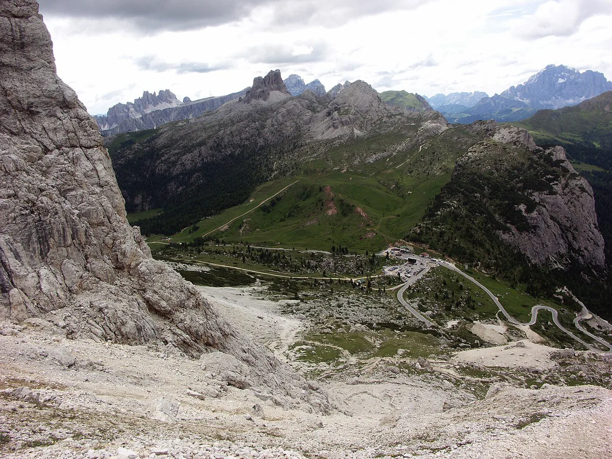
Summer is the main season for driving and hiking. Winter turns the area into a ski zone, and road access then depends on snow and clearing. Mountain weather can differ sharply from Cortina's valley conditions. Cloud can hide the views at 2,117 m while the town stays clear. Check the live road status and webcams on the Cortina tourism site before you leave. Keep a lower-altitude fallback in mind, such as a café stop in Cortina or a walk in the valley.
Costs, Tickets and Opening Hours
Lift fares, parking and hut hours vary by operator and season. Check the operator's own site and the Cortina tourism office for current rates.
Getting There and Where to Stay
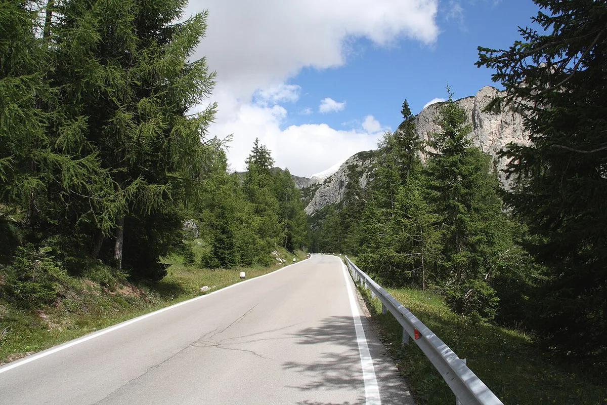
Driving gives you the most flexibility on the Cortina to Andraz road. Expect hairpins and steady climbing, so allow extra time and fuel up in a valley town first. Bus and tour options exist in the region, but confirm the actual services with the tourism office before planning around them. Cortina d'Ampezzo suits visitors who want restaurants, shops and a larger choice of beds. The Andraz side suits a quieter stay and an easier push toward Arabba and the Sella passes. For the passes beyond that, see our guides to Passo Gardena (Gardena Pass): Dolomites Driving Guide and the Sella Pass (Passo Sella): How to Visit and Drive It.
Mistakes to Avoid and Quick Planning Checklist
Most problems at Falzarego come from timing and weather, not the road itself. Arriving late can mean missing the lift or the huts. Assuming valley conditions apply at altitude is the next common error. Going up without a plan B wastes the day if cloud rolls in.
- Check the live road status and weather before you leave.
- Look at cloud and visibility at summit level, not just in town.
- Arrive early if you plan to use the Lagazuoi cable car.
- Carry layers, since temperatures at 2,117 m differ from the valley.
- Pick a lower-altitude fallback before you set off.
- Plan the next leg using the Dolomites road trip hub.
For trip-planning details, see Dolomites UNESCO World Heritage.
Road-rule changes worth knowing
Optional updates to our guides.
You might also like
Continue reading
More guides you'll find useful