Iceland Road Trip: Routes, Days Needed and Planning Guide
Plan your Iceland road trip: how many days you need, which route to pick, when to drive, and when a 4×4 or F-road matters.
On this page
Last updated November 2026: an Iceland road trip goes best when you choose the route and length before you book the car. Route 1, the Ring Road, is the core loop out of Reykjavík, and our full Ring Road route guide covers it stop by stop. Season, direction and vehicle all depend on your dates, so the sections below help you decide.
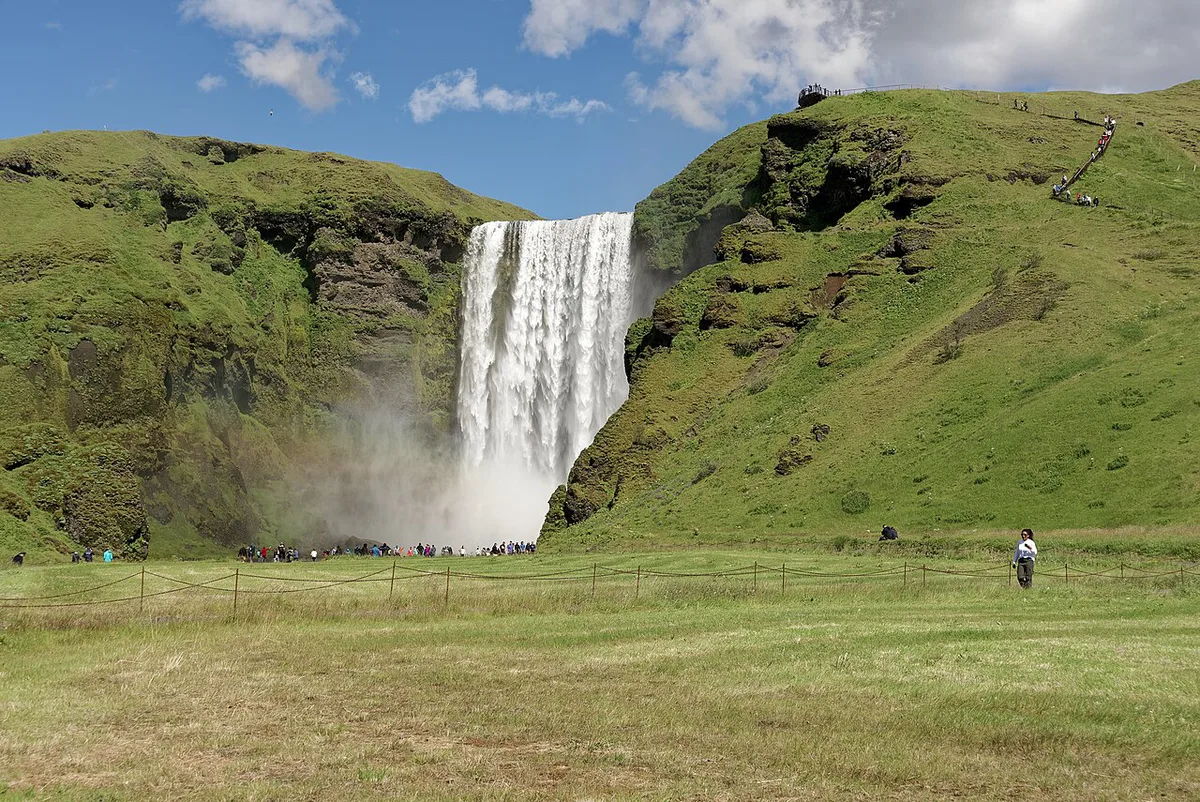
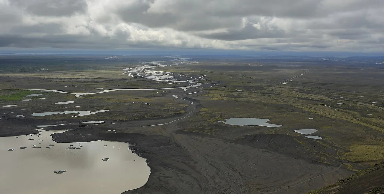
Featured image: Brilliantwiki, CC BY-SA 3.0, via Wikimedia Commons.
How Many Days Do You Need for an Iceland Road Trip?
Ten days is the length most Ring Road plans use, and it is ambitious. Those plans are usually built for June to August and leave you tired by the end. We'd rather cut a region than rush every region. From Keflavík Airport, Reykjavík is about 45 minutes (50 km) away, so budget your first afternoon accordingly.
| Trip length | What is realistic | What to cut | Best fit |
|---|---|---|---|
| Short (about 3–4 days) | South Coast out and back from Reykjavík | North, east and Westfjords | First-timers, winter visitors |
| Medium (about 5–7 days) | Golden Circle plus South Coast, as far as the glacier lagoons | Mývatn, Eastfjords, Westfjords | Travelers who want the classic sights |
| Full loop (about 10 days) | All of Route 1 at a steady pace | Most detours and long hikes | Summer travelers who enjoy driving |
| Loop plus add-on (10+ days) | Ring Road plus Snæfellsnes or the Westfjords | Rushed days; spread the add-on out | Repeat visitors, flexible schedules |
Planning an Iceland Road Trip: Choosing Your Route
Four routes cover most plans. Pick by driving load and season, not by how many stops you can list. Our editorial read is below.
| Route | Time needed | Driving load | Winter access | Crowds |
|---|---|---|---|---|
| Full Ring Road | Longest | Heavy | Needs daily road checks | Busiest near the South Coast |
| South Coast only | Shortest | Light | Most practical in winter | High |
| Golden Circle plus South Coast | Medium | Moderate | Practical with daily checks | High |
| Westfjords | Long, remote | Heavy, remote | Limited; check conditions | Low |
- Full loop: Route 1 around the island.
- Day trip: Golden Circle driving route.
- Short trip: South Coast drive.
- Off-loop add-on: Westfjords Road Trip: Route, Days, Driving Tips & Car Choice.
Clockwise or Counterclockwise?
We'd drive counterclockwise. That puts the Golden Circle and South Coast in your first days, while energy is high. Fewer people tend to reach the north and east later in the trip. One 10-day plan drove the loop the other way and wished it had seen the famous sights first. Clockwise still works if you want the quieter regions first or if your flights favor it.
Best Time to Drive Iceland: Season, Daylight and Winter
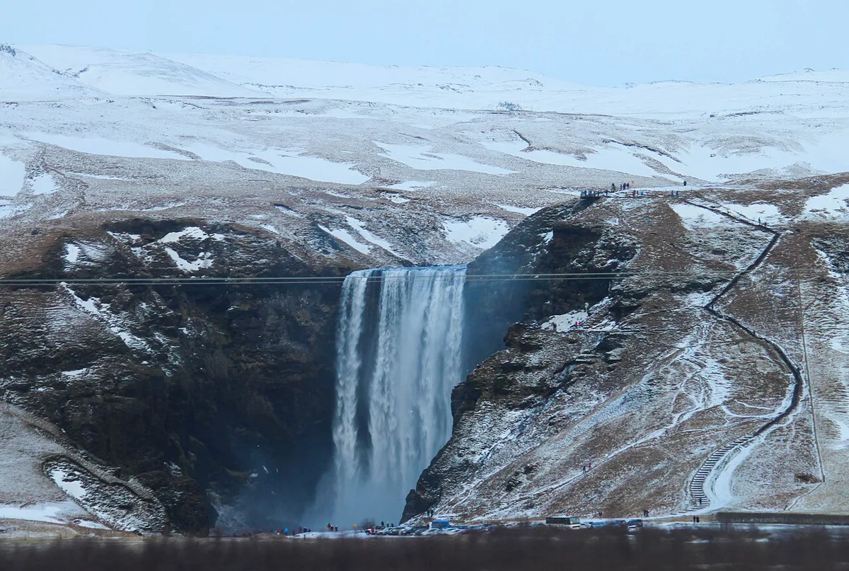
June to August suits the full loop, and the midnight sun gives you very long driving days. April, May, September and October are shoulder months, and most stops stay viable. Puffin viewing in the east is the main seasonal exception. In winter we'd stay on the west and south coasts and use Reykjavík as a base. Daylight shrinks, so fewer stops fit in a day. Check current road conditions before every driving day.
Car Rental, 4×4 and F-Roads
Book your car as soon as your flight dates are fixed. Automatics are scarcer, so reserve those first. You do not need a 4×4 for the Ring Road in summer. F-roads are 4×4-only tracks, so rent a 4×4 only if you plan to use them. Dettifoss in the northeast has a bumpy road to its car park, and a higher vehicle helps there. Pick up at Keflavík if you plan to leave Reykjavík the same day. Otherwise park in the city and collect the car on the day you leave.
Keflavík to Reykjavík is about 45 minutes (50 km), so a same-day pickup at the airport avoids the city drive.
Driving Conditions, Safety and Road Rules
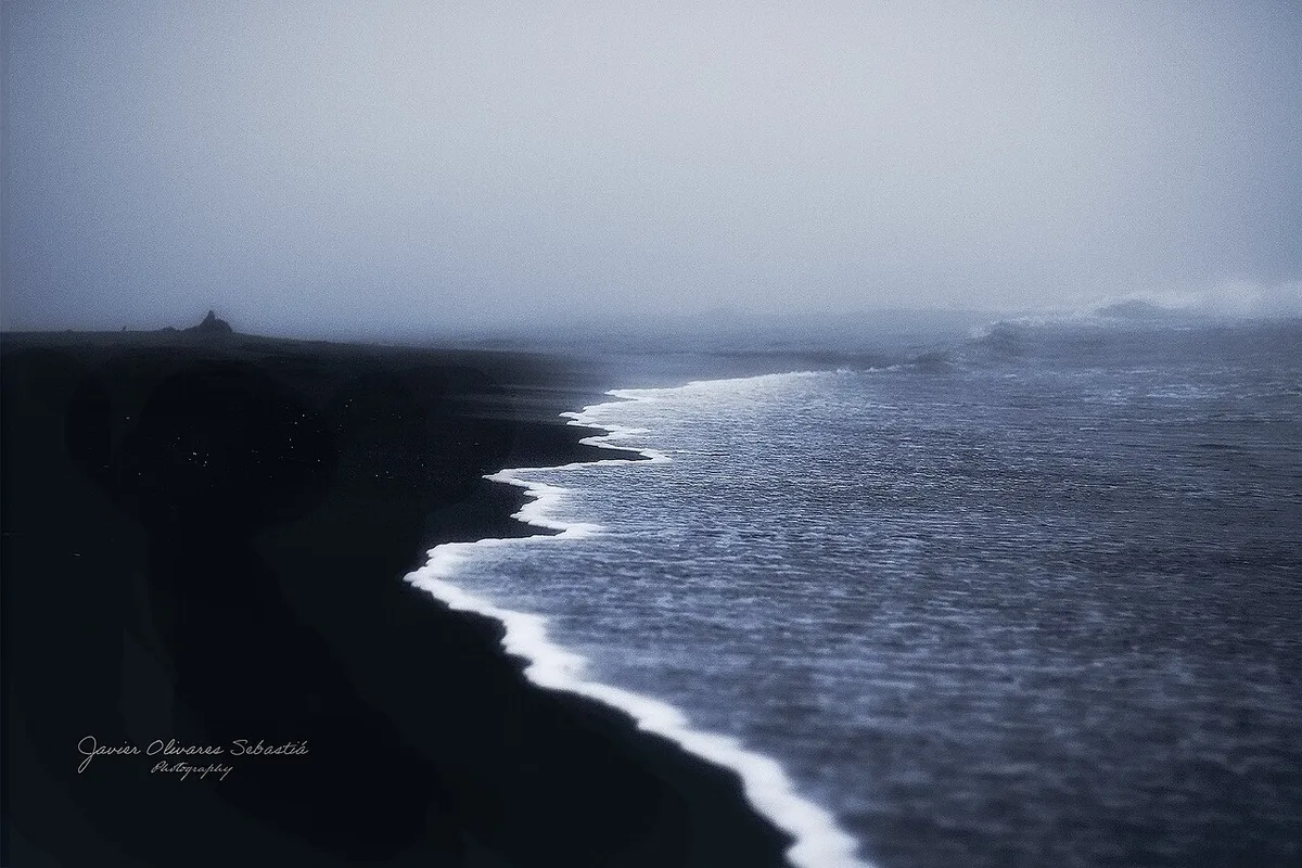
Weather changes the plan more than distance does. Read the Safetravel driving advice before you set off. Reynisfjara needs particular care because sneaker waves can reach well up the beach. In February 2026 erosion reshaped the beach and cut off access to the sea cave. Stay back from the water and watch the warning signs. Fuel and food gaps are real in the east and north, so fill up whenever you pass a town. Book glacier hikes and ice cave tours with a guided operator, since the terrain is not self-guided.
Route Overview and Map
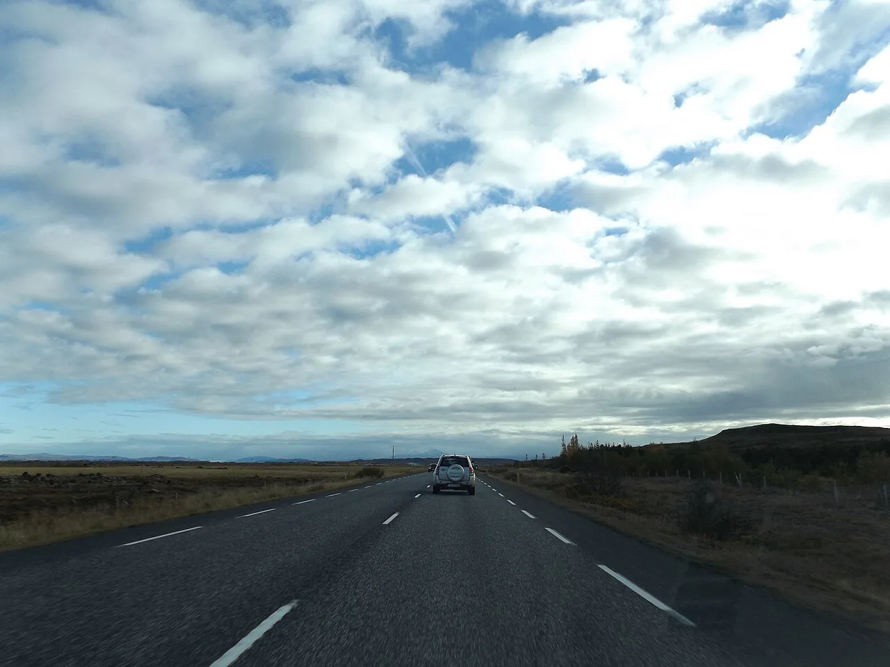
Route 1 circles the island from Reykjavík: Golden Circle, South Coast, Skaftafell, Jökulsárlón, Höfn, the Eastfjords, Mývatn, Akureyri and back west. Two quick distance markers help planning. Vík to Seljalandsfoss is about 1 hour 15 minutes. Reykjavík to Vík is roughly 4.5 hours with Golden Circle stops, around 186 miles (300 km) as one 10-day plan lays it out. Use a map app for live routing, and keep each day's drive inside what you can do in daylight.
Sample Itinerary Skeleton
Treat this as a region-by-region frame, not a daily script. Spend two nights in one base wherever you can, so you pack less. Silfra snorkeling sits inside Þingvellir National Park, so combine it with the Golden Circle.
- Reykjavík and Golden Circle: Þingvellir, Haukadalur and Gullfoss. Geysir last erupted in 2016, but Haukadalur has other active features.
- South Coast: Seljalandsfoss, Skógafoss (60 meters, 197 feet), Vík and Reynisfjara.
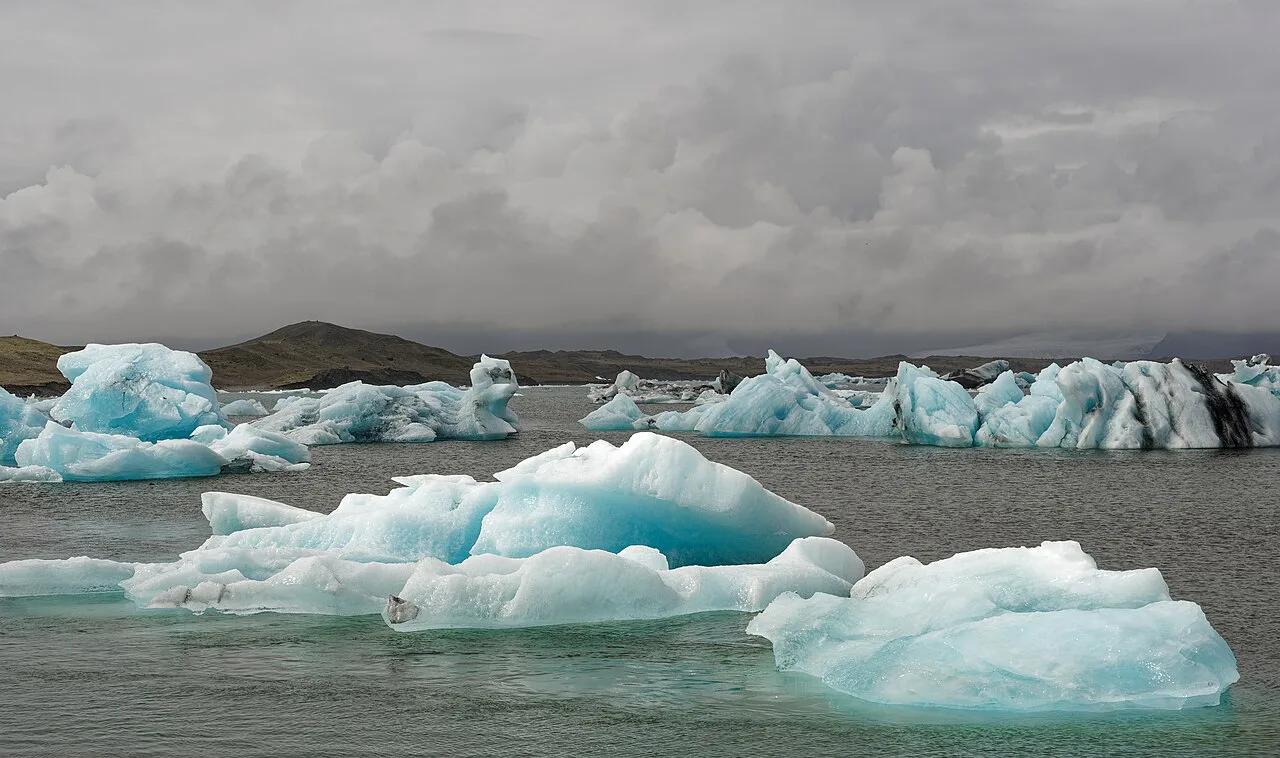
- Southeast: Fjaðrárgljúfur, Skaftafell and Svartifoss, a 30–45 minute walk each way, then Jökulsárlón and Diamond Beach.
- East: Höfn and the Eastfjords, including Seyðisfjörður.
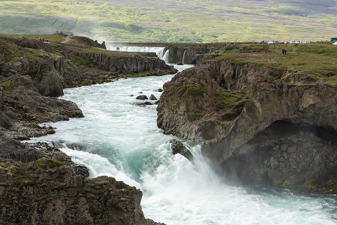
- North: Mývatn, Dettifoss, Húsavík, Goðafoss and Akureyri.
- West: Snæfellsnes and Kirkjufell on the way back toward Reykjavík.
Costs and How to Save
Cost drivers are car class and insurance, fuel, accommodation by season, guided tours and food. Car and bed prices swing most with season, so compare current quotes from several rental companies and keep your dates flexible. Shoulder months are our pick if you want a lower bill and still most of the loop. Self-catering from supermarkets and a base for two nights also trims the total.
Mistakes to Avoid
Most road trips go wrong in the planning, not on the road.
Svartifoss is a 30–45 minute walk each way, so one hike can eat a driving day's margin.
- Overpacking the itinerary and driving too far each day.
- Ignoring fuel and food gaps in the east and north.
- Booking the car late, especially an automatic.
- Skipping road and weather checks before you leave.
- Standing close to the water at Reynisfjara.
- Treating glacier, ice cave and ATV tours as self-guided.
Frequently Asked Questions
How long does it take to drive the Ring Road in Iceland?
Most itineraries use around 10 days, and that is a busy pace. Fewer days means skipping the north and east. More days lets you add Snæfellsnes or the Westfjords.
Which month is the best month to go to Iceland?
For driving the full Ring Road we'd pick June to August, when daylight is longest. April, May, September and October also work, with some seasonal limits. In winter, stay on the west and south coasts.
Is it difficult for an American to drive in Iceland?
Weather and road conditions are the hard part, not the rules. Check road.is daily and read the Safetravel advice. Skip F-roads unless you rent a 4×4.
Road-rule changes worth knowing
Optional updates to our guides.
You might also like
Continue reading
More guides you'll find useful