
Ring of Kerry Drive: Time, Route and Tips
Planning the Ring of Kerry drive? See how long it takes, which direction to go, the best stops and when a half loop or detour makes more sense.
On this page
Last updated November 2026: the Ring of Kerry drive circles the Iveragh Peninsula for around 179 km, usually starting and ending in Killarney. Allow at least 7 hours with stops, and drive clockwise to stay ahead of the tour coaches. This guide covers the stops, the detours, the best bases and when a half loop beats the full circuit.
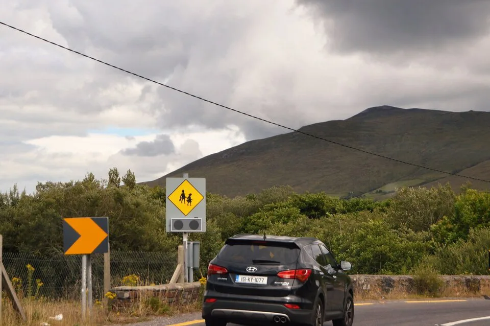
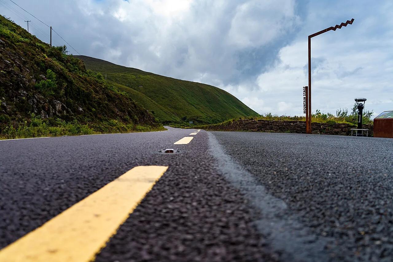
Featured image: N Chadwick, CC BY-SA 2.0, via Wikimedia Commons.
Is the Ring of Kerry drive worth it?
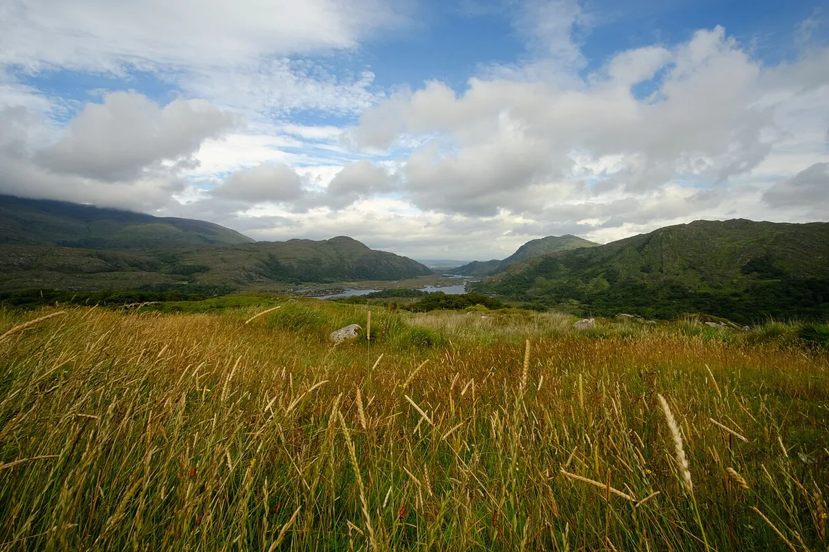
Yes, if you want coastal and mountain scenery and can give it most of a day. The loop covers around 179 km (about 111 miles) and passes Killarney National Park, Kenmare, Sneem and the Atlantic coast near Waterville. Parts of it overlap with the Wild Atlantic Way: Route, Sections & How Many Days You Need, and Discover Ireland lists the route among its official drives. Skip the full loop if you only have a few hours. A half loop suits that window far better.
- Length: around 179 km (about 111 miles).
- Non-stop time: about 2.5 hours, as a minimum.
- Realistic time with stops: at least 7 hours.
- Direction: clockwise, to avoid following coaches.
- Bases: Killarney, Kenmare, or Portmagee and Waterville on the western side.
How long does the Ring of Kerry drive take?
Without a single stop, the loop takes about 2.5 hours. Treat that as a floor, because narrow sections and slow coaches stretch it quickly. With 4 to 6 stops, plan at least 7 hours behind the wheel and out of the car. Can you do half? Yes. Drive Killarney to Kenmare via Ladies View and Moll's Gap, then return the way you came. Moll's Gap is about 30 minutes from Killarney and about 10 minutes from Kenmare.
| Option | Time band | Best for | What you give up |
|---|---|---|---|
| Non-stop loop | About 2.5 hours minimum | Confident drivers short on time | Every stop, and most of the views |
| Day loop with 4-6 stops | At least 7 hours | First-timers and photographers | Slow mornings and the Skellig Ring |
| Overnight loop | Two days (estimate) | Anyone with a spare night | One extra night of lodging |
| Half loop, Killarney to Kenmare and back | Half a day (estimate) | Families and nervous drivers | The western coast and Skellig Ring |
Which direction to drive and when to start
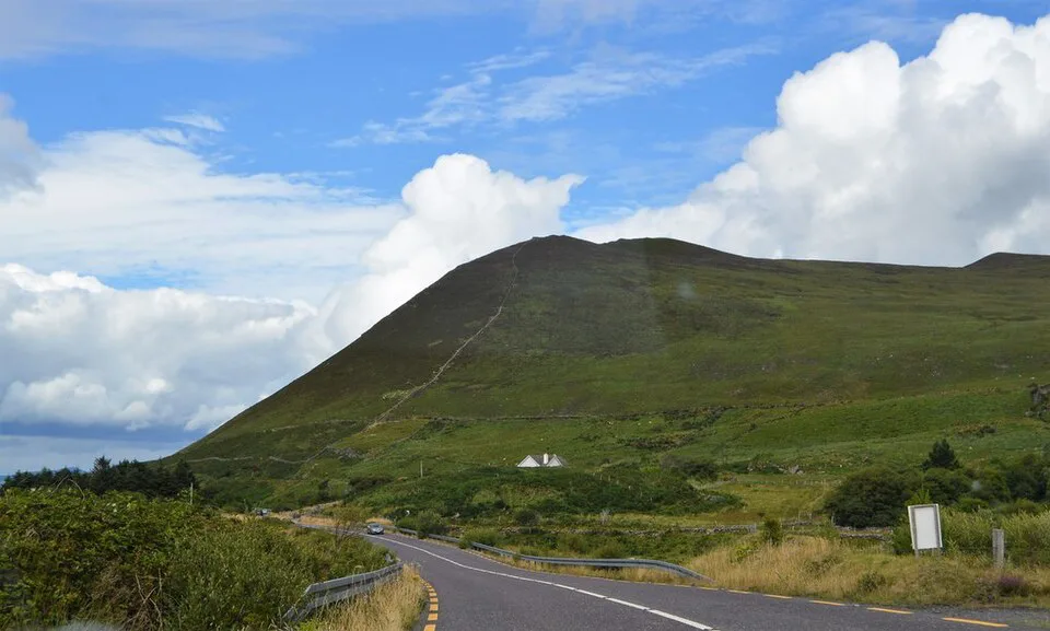
Drive clockwise. Tour buses generally run counterclockwise, so going the other way keeps you from queuing behind several coaches on tight bends. Conventions shift by season, so watch the road on your first hour. Leave Killarney early. Torc Waterfall's small car park is easiest to use around 07:30 or late in the day.
- Clockwise: Killarney, Ladies View, Moll's Gap, Kenmare, Sneem, Waterville, Cahersiveen, Glenbeigh, Killorglin.
- Counterclockwise: expect coaches in front of you, mainly in peak months.
- Start time: leave early enough to reach the busiest stops before midday.
- Bad weather: pick covered stops such as cafés, museums and shops in Kenmare and Sneem, and save viewpoints for clearer hours.
Best stops on the Ring of Kerry, in route order
Pick six to eight stops rather than all of them. Torc Waterfall is about 20 m (66 ft) high and sits near the start of the route. Muckross Abbey is about 4 km from Killarney. Derrynane Beach lies about 3.5 km west of Caherdaniel. Each stop below is listed in clockwise order.
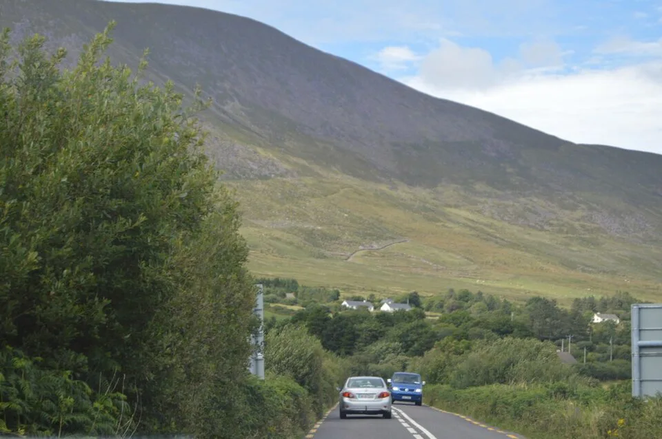
- Killarney National Park: Ross Castle interior is guided-tour only, with tickets sold on site and no pre-booking. Muckross Abbey is a Franciscan friary dating from around 1445. Torc Waterfall has a small car park. Check Kerry tourism and the OPW for current castle hours.
- Ladies View: allow 20 to 30 minutes. The first viewpoint sits close to the road near a blind corner, so use the second one towards Moll's Gap.
- Moll's Gap: a mountain pass that is about 30 minutes from Killarney. Its car park sits on a sharp bend near a junction.
- Kenmare: a good lunch stop about 10 minutes from Moll's Gap, and a workable overnight base.
- Sneem: a short walk along its main street and river is enough.
- Derrynane: a beach inside Derrynane National Historic Park, with Abbey Island visible offshore. Car park fills early in summer, and a height barrier applies.
- Kerry Cliffs, Portmagee and Valentia Island: the Skellig Ring side trip. Skellig Michael landings depend on weather, so book only with licensed operators.
- Rossbeigh Beach, near Glenbeigh: a wide beach on Dingle Bay, with plenty of parking at the south end.
Is the Ring of Kerry hard to drive?
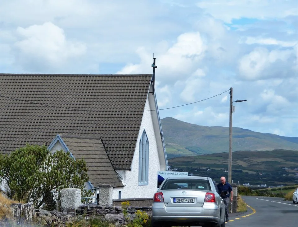
It is manageable, but narrow in places. Coaches take up most of the road on some bends, so expect to pull in and wait. Visitors from right-hand-drive countries should rehearse the left-side adjustment before leaving a car park. Book an automatic if you are not fluent with a manual gearbox. Choose a compact car, because a large rental feels wide on the tighter stretches. Check transmission, insurance and narrow-road suitability when you hire.
Staigue Stone Fort sits at the end of about 2.5 miles of narrow, winding road, so a compact car matters more on that detour than a large rental would.
- Overpacking the day: six stops beat eleven.
- Starting late: you will meet coaches at every viewpoint.
- Ignoring fuel: fill up before the remote western stretches.
- Skipping parking plans: Ross Castle, Muckross and Torc all have limited spaces.
- Assuming access: confirm Ross Castle and Skellig Michael on official pages first.
Choose your detour: Skellig Ring, Gap of Dunloe and more
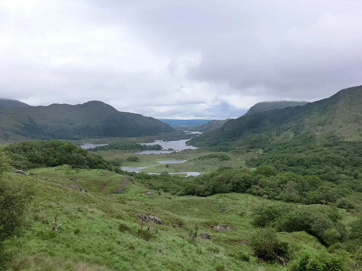
Detours add real value but also real time. The Skellig Ring is a loop of about 18 km that leaves the main route near Valentia Island, and it is much quieter. Valentia Island is reached by bridge at Portmagee, around 15 minutes from Cahersiveen. Staigue Stone Fort sits at the end of about 2.5 miles of narrow, winding road. Ballaghbeama Gap is single-track.
| Detour | Extra time | Road difficulty | Payoff |
|---|---|---|---|
| Skellig Ring (about 18 km) | Check locally | Winding, quieter | Coastal views, Kerry Cliffs, Portmagee |
| Gap of Dunloe | Half a day (estimate) | Walk, bike or boat, not a drive | Mountain pass near Killarney |
| Valentia Island | Check locally | Moderate, via Portmagee bridge | Island views and a lighthouse |
| Staigue Stone Fort | Check locally | Narrow, about 2.5 miles of lane | Ancient stone fort |
Costs, parking and what to check
Budget by category rather than by a single number. Car hire and fuel are the largest costs, followed by castle or boat admissions. Ross Castle tours are sold on site only, so no advance booking fee applies. Kerry's county council lists road and parking notices, and Skellig Michael boat operators publish their own fares. Parking at Ross Castle, Muckross and Torc is limited, so arrive before 09:00 at the busiest stops.
Torc's car park is easiest around 07:30 or late in the day, so aim for the morning slot before 09:00 at the busiest stops.
- Car hire: compare transmission, insurance and size.
- Fuel: top up in Killarney or Kenmare before heading west.
- Parking: arrive early at Torc, Muckross and Ladies View.
- Admissions: Ross Castle, Skellig Michael boats and Kerry Cliffs.
- Food: pick stops in Kenmare, Sneem or Portmagee.
Where to base yourself and how to get there
Killarney suits day-trippers because the loop starts and ends there. Kenmare works for an overnight stop after about 10 minutes beyond Moll's Gap. Portmagee or Waterville put you near the Skellig Ring and shorten the western day. Kerry Airport is at Farranfore. Shannon and Cork airports are roughly 1.5 to 2 hours from most of Kerry. Rail, Bus Éireann and Local Link serve the main towns, but timetables vary, so use the Fáilte Ireland planning pages and each operator's site.
Ring of Kerry vs other Irish drives
The Ring of Kerry suits first-time drivers who want a classic loop. For a shorter peninsula route, compare it with the Dingle Peninsula Drive: Slea Head Route, Time and Tips. Our guide to Scenic Drives in Ireland: 6 Routes by Time and Season compares other routes. For Northern Ireland, see the Causeway Coastal Route: Itinerary, Stops & Planning Guide, which is a separate trip rather than a Kerry alternative. To fit Kerry into a longer plan, start with our 4 Ireland Road Trip Routes: Pick Your Days and Drive itinerary.
Frequently Asked Questions
What is the best road trip to take around Ireland?
It depends on your time. Our Ireland road trip guide links the main routes. The Ring of Kerry is a strong choice if you want one loop in a day.
Is it difficult to drive in Ireland as a tourist?
Most visitors manage well. Expect left-side driving, narrow rural roads and slow coaches on tourist routes. Choose a smaller car and an automatic if you rarely drive manual.
Road-rule changes worth knowing
Optional updates to our guides.
You might also like

Continue reading
More guides you'll find useful