
Wild Atlantic Way: Route, Sections & How Many Days You Need
A practical guide to Ireland's Wild Atlantic Way: the six sections, how many days to allow, driving vs no car, and what to check before you go.
On this page
Last updated November 2026: the Wild Atlantic Way is a signposted coastal touring route of about 2,500 km (roughly 1,550 miles), not a single road. It runs between the Inishowen Peninsula in Donegal and Kinsale in Cork, and nobody drives all of it on a normal trip. Pick one or two sections for a week, then build the days with our full Ireland itinerary.
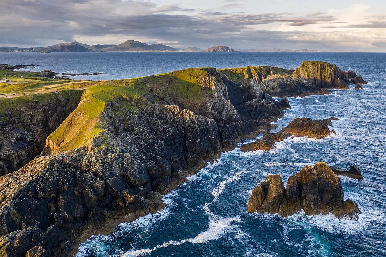
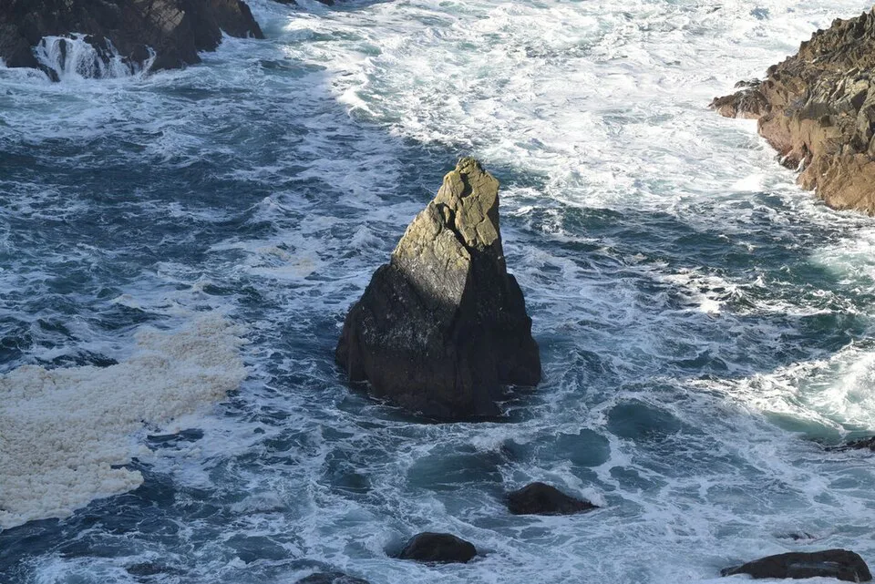
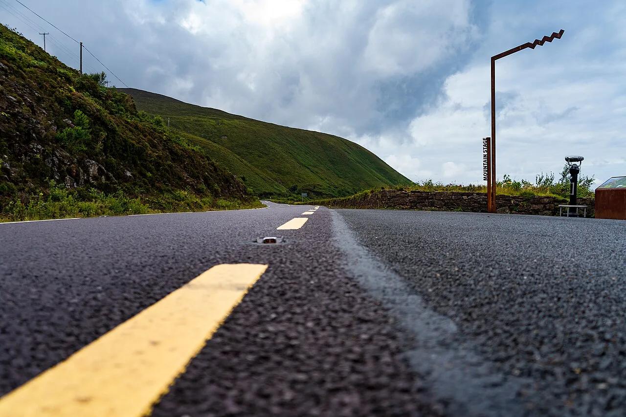
Featured image: Kent Wang, CC BY-SA 2.0, via Wikimedia Commons.
Quick Answer: What the Wild Atlantic Way Is
Route length is about 2,500 km, running along Ireland's western seaboard. Launched in 2014, the route follows existing national and regional roads instead of a purpose-built highway. Brown signs with a wavy line logo mark the way, and the official Wild Atlantic Way site lists the route and its sections. Northern Ireland's separate north coast drive is not part of it. For most visitors, one or two sections make a better week than the whole line. Kerry and Clare suit a first trip, while Donegal suits anyone who wants quieter roads.
- Length: about 2,500 km between Donegal and Kinsale, driveable in either direction.
- Sections: six coastal zones, from the Northern Headlands to the Haven Coast.
- Time: two to three weeks for the whole route, or one week for one or two sections.
- Best first trip: Southern Peninsulas plus Cliff Coast, covering Dingle, Kerry, the Cliffs of Moher and the Burren.
How the Route Works
Fáilte Ireland announced 188 Discovery Points along the route. These are signposted stops at viewpoints and sites, and the most important are designated Signature Discovery Points. Treat them as a menu, not a checklist. Many of the roads between them are narrow, slow lanes, so the distance on the map understates the driving time. Picking five or six stops per section beats chasing every sign.
The Six Sections Compared
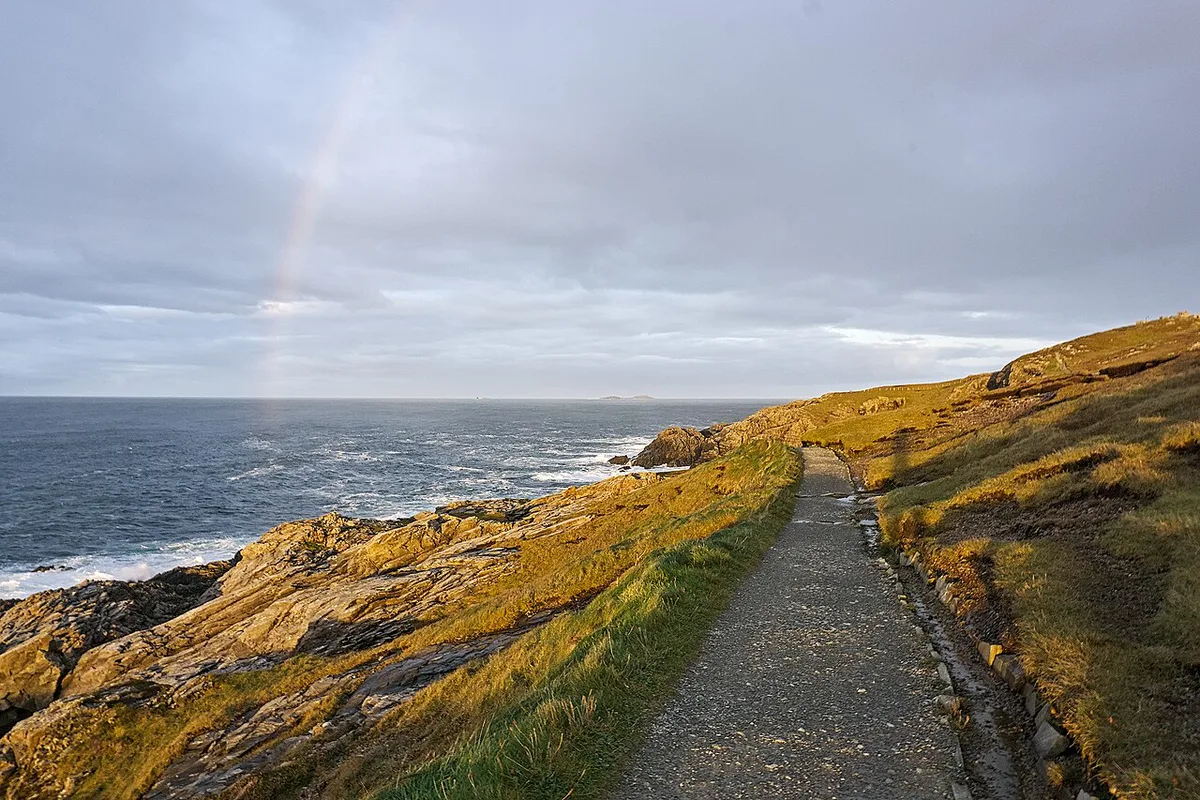
Fáilte Ireland's route material divides the coast into six zones. Day allowances below are planning estimates, not official figures. Add them up and you reach roughly 17 to 22 days, which matches the two to three weeks the full route needs. County groupings vary slightly between guides.
| Section | Counties | Drive character | Suggested days | Best for | Main constraint |
|---|---|---|---|---|---|
| Northern Headlands | Donegal | Remote headlands, long empty stretches | 4-5 | Quiet roads, big cliffs | Distance from other sections |
| Surf Coast | South Donegal, Sligo, north Mayo | Beach towns, mixed road quality | 2-3 | Surf, Yeats country | Atlantic weather |
| Bay Coast | Mayo, Galway | Bog, lake and mountain roads | 3-4 | Connemara, Westport, Achill | Slow roads, few buses |
| Cliff Coast | Clare, north Kerry | Short hops, busy at the Cliffs | 2-3 | First-timers, music villages | Crowds, walk closures |
| Southern Peninsulas | Kerry, West Cork | Narrow peninsula loops | 4-5 | Scenery per day | Coaches, narrow bends |
| Haven Coast | West Cork | Sheltered harbours, gentler pace | 2 | Food, short trips | Few |
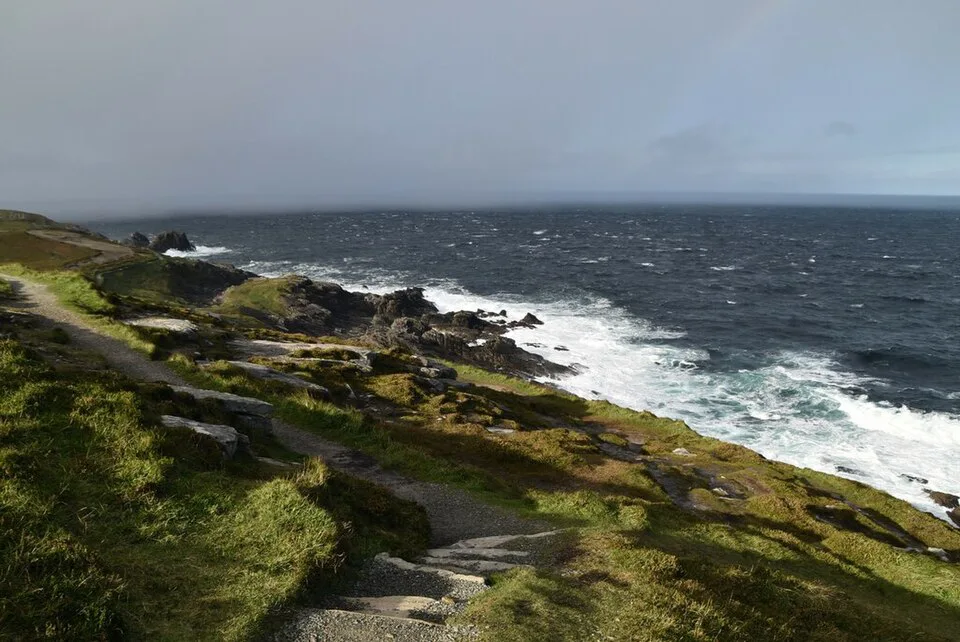
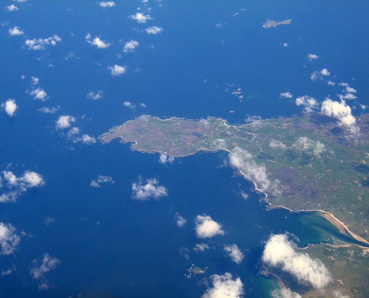
- Northern Headlands: Malin Head, Slieve League, Fanad Head and the Inishowen Peninsula. Tory Island depends on ferries, so check sailings first.
- Surf Coast: Strandhill and Bundoran for surf, Benbulben and Mullaghmore for scenery, and Creevykeel Court Tomb near Mullaghmore.
- Bay Coast: Westport as a base for Clew Bay, Croagh Patrick and Achill Island, with Connemara to the south.
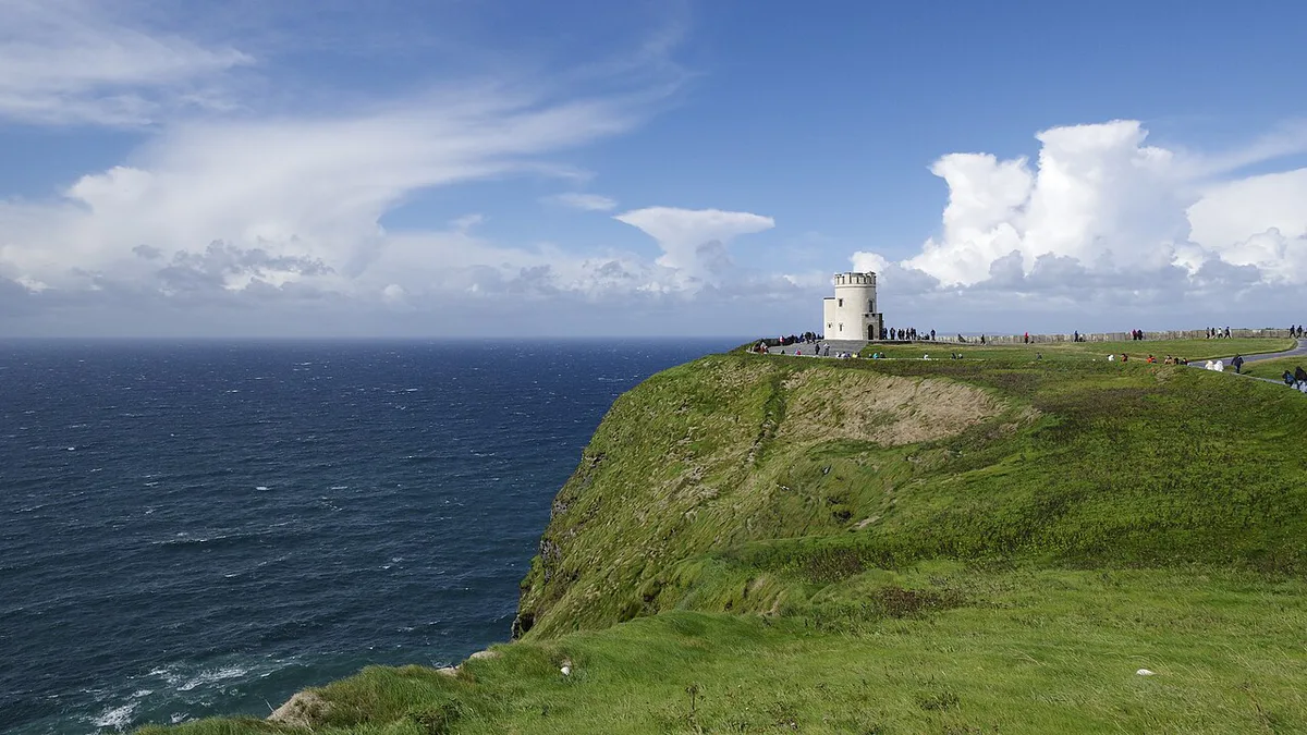
- Cliff Coast: the Cliffs of Moher, the Burren, Loop Head and the music village of Doolin.
- Southern Peninsulas: Dingle, the Skellig Ring, Beara and Mizen Head. Our Slea Head loop guide covers Dingle in detail.
- Haven Coast: Kinsale, Clonakilty, Baltimore and Skibbereen.
How Long Do You Need?
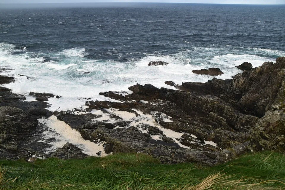
Two to three weeks is the honest figure for the whole route, because roads are slow and the best moments come from stopping. Shorter trips work when you commit to neighbouring sections. Our Ireland road trip plan shows how to fit a west coast leg into a longer itinerary.
- 3 days: one section only. The Cliff Coast (2 to 3 days) or the Haven Coast (2 days) fits best.
- 7 days, south: Kinsale and West Cork, then the Kerry peninsulas and Killarney.
- 7 days, classic: Dingle and Killarney, then north through Clare to Galway and Connemara.
- 7 days, north: Galway, Connemara, Westport and Achill.
- 10 days: add Sligo and Donegal to any of the weeks above.
- 14 days or more: three or four sections at a relaxed 100 to 150 km a day, with two or three nights per base.
Driving the Route
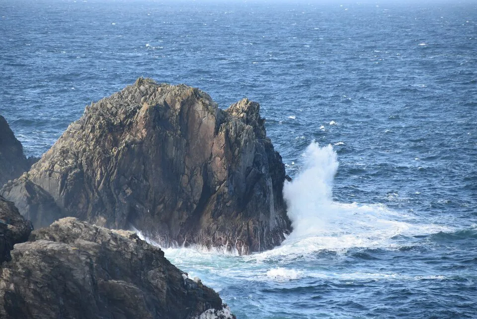
A car is the natural way to travel this route. Plan on 100 to 150 km a day with stops. National roads carry a 100 km/h limit and regional roads 80 km/h, but coastal lanes rarely let you reach either. Traffic keeps left in Ireland, so drivers from right-hand-drive countries should take the first hour slowly, especially at roundabouts. Sheep, cyclists, walkers and tour coaches appear on tight bends. Finish driving before dark, since unfamiliar coastal roads are hard at night. The Ring of Kerry loop is about 179 km, and advice on which direction avoids coaches differs between sources. Check current guidance in our Ring of Kerry coach timing notes. For other coastal drives, see other scenic routes across Ireland.
A week on the whole line means 300 km days, well above the 100 to 150 km a day that leaves room to stop.
Without a Car
Parts of the route work by public transport, with patience. Transport for Ireland's Cliff Coast travel page lists Bus Éireann route 350 from Galway via Kinvara and Doolin to the Cliffs of Moher and Ennis. It also lists route 275 from Tralee to Dingle and route 333 from Ennis to Kilkee. Local Link services cover the Dingle Peninsula and Loop Head. Frequency is low, especially on Sundays and in winter. Base yourself in one hub and radiate outward on day tours for the hardest stretches.
- Galway: Connemara and the Cliffs of Moher by bus or tour.
- Killarney: Kerry day tours.
- Westport: Clew Bay and Achill.
- Dingle: the peninsula by Local Link or a guided tour.
When to Go
May, June and September are the usual sweet spot, with long days and fewer coaches than July and August. Winter trades that for short daylight, which makes long drives hard. Some seasonal attractions and ferries stop for the winter, including sailings you may need for islands such as Tory Island. Shoulder months bring changeable weather, so build a spare day into each section.
What's Closed or Changed
Status below was checked November 2026. Items change quickly, so verify on the day.
Bus Éireann route 52 is withdrawn between Ballina and Galway, which matters if you planned a Bay Coast leg by bus.
- Cliffs of Moher: the official coastal walk page, dated 1 August 2026, says the southern section from Liscannor and Hag's Head is fully closed. There is no access from Doolin to the visitor centre. Entry uses online booking for a timed slot.
- Bus Éireann route 52: withdrawn between Ballina and Galway from 24 May 2026.
- Ross Castle in Kerry: seasonal closing after 3 November 2026.
- Blasket Centre in Kerry: seasonal closing after 8 November 2026.
Mistakes to Avoid and What to Skip
Most Wild Atlantic Way trips go wrong in the planning, not on the road.
- Skip trying the whole route in a week. It forces 300 km days and leaves no time to stop.
- Skip night driving on coastal roads.
- Skip a rigid itinerary. Weather decides the best days for cliffs and peninsulas.
- Skip the Discovery Point checklist. Pick a handful per section and linger.
Frequently Asked Questions
Is the Wild Atlantic Way worth it?
Yes, if you choose one or two sections and allow time to stop. It rewards slow days at the Cliffs of Moher, Dingle or Malin Head more than long transit days.
What is the best road trip to take around Ireland?
The Wild Atlantic Way is the main west coast option, and Kerry plus Clare is a strong first section. Our Ireland road trip guide puts it in a wider route.
Road-rule changes worth knowing
Optional updates to our guides.
You might also like

Continue reading
More guides you'll find useful