
Westfjords Road Trip: Route, Days, Driving Tips & Car Choice
Plan a Westfjords road trip: how many days, ferry or drive, which car, fuel stops, season and a day-by-day route, with the trade-offs.
On this page
Last updated November 2026: a Westfjords road trip is a separate loop of roughly 950 km off the Ring Road, and it needs 3 to 5 days. Go in summer, because a 2WD car handles the main paved routes while gravel side roads to Látrabjarg and Rauðisandur are the catch. Plan by drive time rather than distance, and book the ferry and beds before anything else.
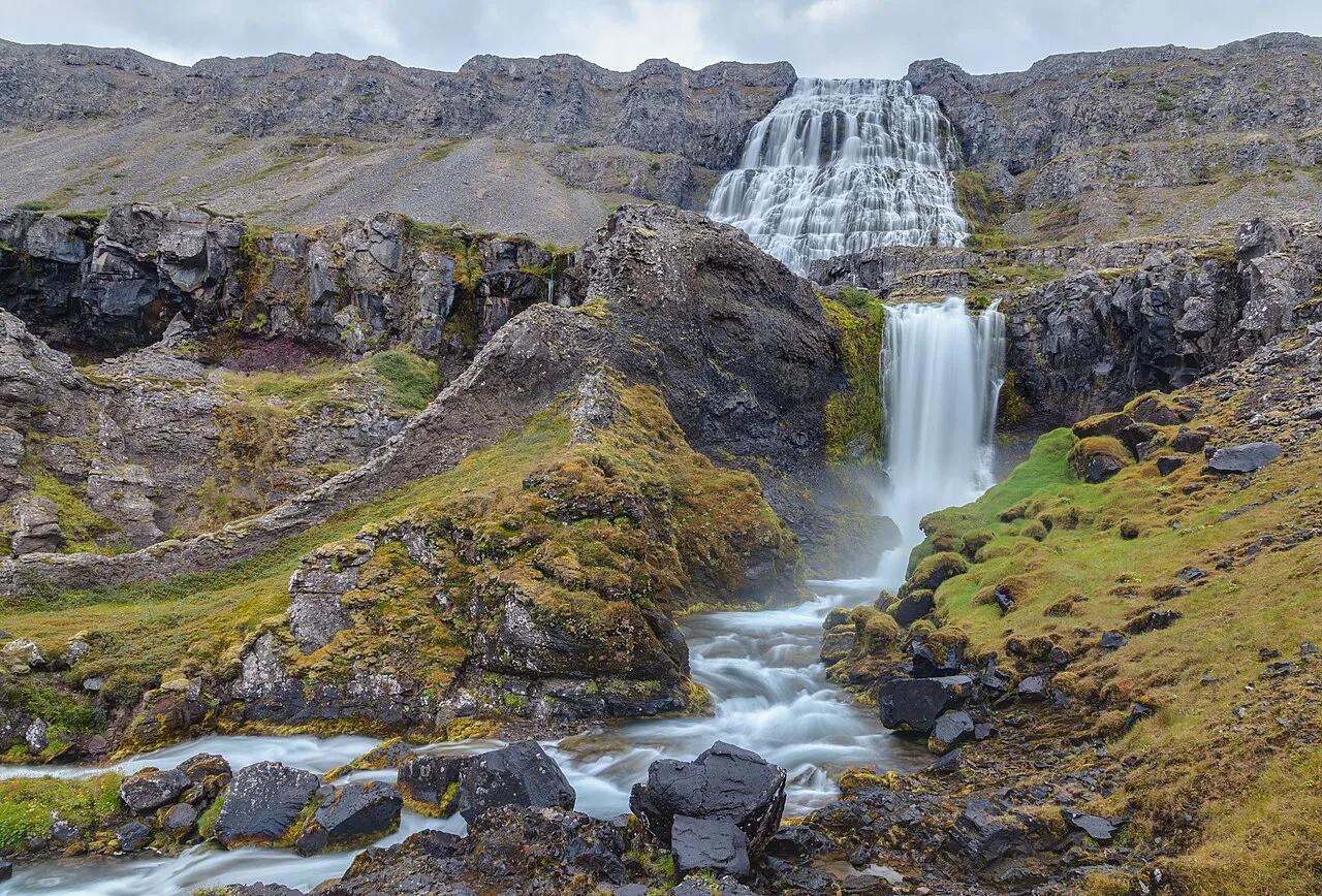
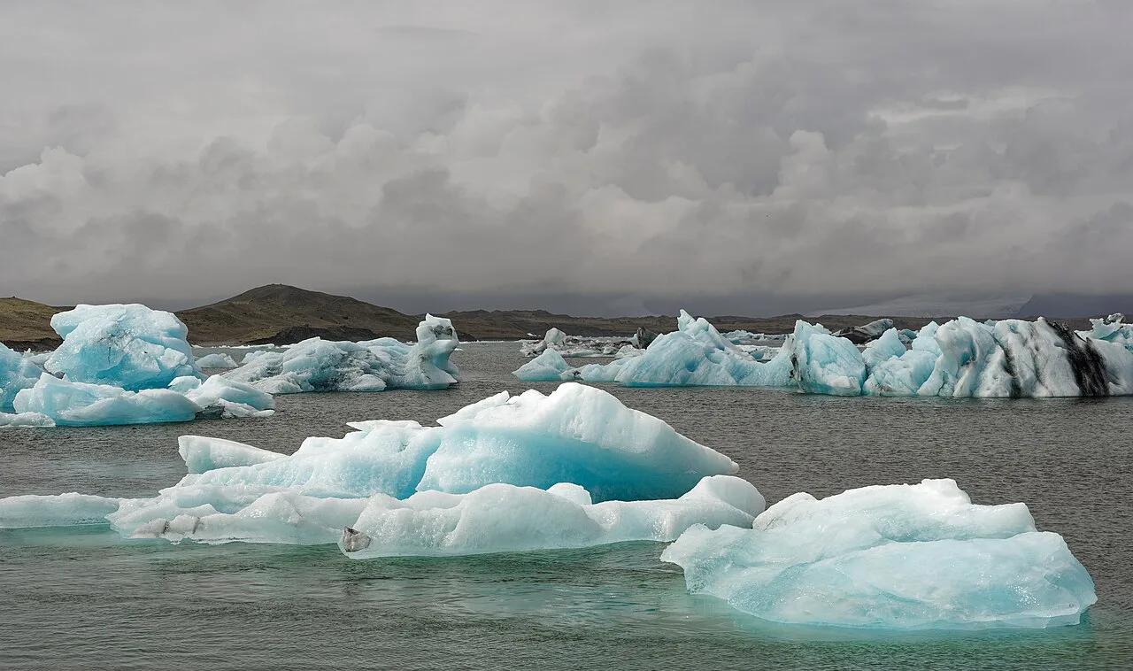
Featured image: Diego Delso, CC BY-SA 4.0, via Wikimedia Commons.
Is a Westfjords Road Trip Worth It?
On a first Iceland trip of 8 days or less, skip the Westfjords. Your Ring Road days are already full, and this loop adds about 950 km (590 miles) of slow driving. With 10 to 14 days, or on a second visit, go. About 7,000 people live in the region, and Ísafjörður has about 2,700. Plan it as a side loop from your Ring Road itinerary. Southern routes are busier and cover less distance. Compare them with the South Coast route before you commit. A Golden Circle loop is the lighter option if time is short.
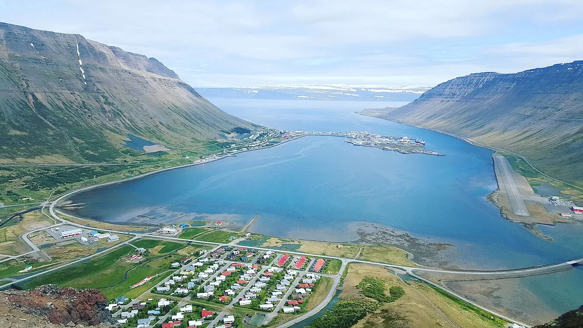
- Reykjavík to Ísafjörður: about 455 km (283 miles), 5.5 to 6 hours
- Time needed: 3 to 5 days
- Best months: June to early September
- Loop length off the Ring Road: about 950 km
- Ferry: Stykkishólmur to Brjánslækur, about 2.5 hours
How Many Days Do You Need in the Westfjords?
Allow 3 days at minimum, and 4 or 5 if you want any buffer. Roads follow each fjord's shoreline, so map distances roughly double on the road. Budget on an average of 55 km/h (about 35 mph), then add your stops. At that pace, 200 km takes close to 4 hours before a single photo stop. Three days means long driving days and no weather margin. Four days is the practical balance. Five days adds a second night in Ísafjörður for a boat trip or a short day on foot.
How to Get There: Drive, Ferry or Fly
Driving starts from Route 1 at the junction near Bifröst or Borgarnes. Route 60 and Route 61 then lead to Ísafjörður. Route 62 and Route 63 lead towards Patreksfjörður, Látrabjarg and Dynjandi. The ferry crossing takes about 2.5 hours, and one timetable lists two sailings a day. Check the current schedule, fares and vehicle booking rules with the operator before building your plan around it. If you cross by ferry, Snæfellsjökull is a short add-on on the Snæfellsnes side.
| Entry option | Time | Access | Best fit |
|---|---|---|---|
| Drive via Route 1 and the Hólmavík side | 455 km from Reykjavík to Ísafjörður, 5.5 to 6 hours | Fuel cost only; mostly paved main routes | 4 or more days, maximum flexibility |
| Ferry Stykkishólmur to Brjánslækur | About 2.5 hours on board | Book car space; fares and timetable set by the operator | Linking Snæfellsnes and the southern Westfjords |
| Fly to Ísafjörður and rent locally | Short flight, then local drives | Works as a base when mountain roads are difficult | Short trips and off-season visits |
Best Time to Visit the Westfjords
June to early September is the safe window. Roads are clear, Látrabjarg puffins are present until mid-August, and guesthouses run full schedules. Sources disagree on winter. One says snow closes mountain roads for days, while another calls winter possible but difficult. Check Vegagerðin road conditions each morning. Read Safetravel Iceland alerts for weather warnings. The Icelandic Met Office at vedur.is covers forecasts.
| Season | Roads | Puffins | Ferry and beds | Daylight |
|---|---|---|---|---|
| June to August | Clearest; gravel side roads passable at low speed | Present at Látrabjarg | Full schedules, but July beds fill early | Longest days; midnight sun in June |
| May and September | Changeable; snow or ice possible on mountain roads | Returning in May; gone by September | Reduced operation; many guesthouses closed | Shortening or lengthening days |
| October to April | Mountain roads can close for days | None | Many guesthouses open only June to September | Limited |
A 3-, 4- and 5-Day Westfjords Route
This 4-day loop enters by road and leaves by ferry from Brjánslækur. Day 2 is the longest, so start early. For 3 days, pick one half: Ísafjörður and Dynjandi, or Dynjandi, Patreksfjörður and Látrabjarg. For 5 days, add a second night in Ísafjörður for a boat trip to Vigur or Hornstrandir. A night in Þingeyri also shortens the following day.
Dynjandi's walk to the base takes 15 minutes, but plan 1 to 2 hours there with the lower falls.
| Day | Route | Key stop | Weather fallback |
|---|---|---|---|
| 1 | Reykjavík to Hólmavík | Museum of Icelandic Sorcery & Witchcraft | Stay at Hólmavík and shorten Day 2 |
| 2 | Hólmavík to Ísafjörður | Fjord viewpoints along Route 61 | Take a short walk in Ísafjörður instead |
| 3 | Ísafjörður to Patreksfjörður | Dynjandi, Þingeyri and the Dýrafjörður tunnel | Skip Dynjandi's upper path and keep the drive |
| 4 | Látrabjarg and Rauðisandur, then Brjánslækur | Látrabjarg puffins | Drop Rauðisandur's steep gravel road |
What to See on a Westfjords Road Trip
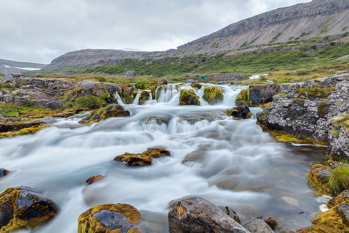
Most stops need 1 to 2 hours, apart from Hornstrandir, which is a boat-and-hike day. Pick two big stops per driving day and treat the rest as bonuses.
- Dynjandi: a waterfall of about 100 m that fans over rock, with smaller falls below. The walk to the base takes 15 minutes. Allow 1 to 2 hours with the lower falls. Little food is nearby, so bring a picnic.
- Látrabjarg: bird cliffs about 14 km long and up to 440 m high at the western tip. Puffins nest from May to mid-August. Access is by gravel road.
- Rauðisandur: a red and gold sand beach reached by a steep gravel road. Drive slowly and skip it in poor weather.
- Ísafjörður and Bolafjall: Ísafjörður is the main base. Bolafjall is a viewing platform about 638 m above Bolungarvík, open in summer.
- Hornstrandir: a nature reserve with no roads. You reach it by boat from Ísafjörður and explore on foot.
- Hellulaug: a hot pool on the shore near Flókalundur, useful after a long driving day.
Driving in the Westfjords: Roads, Fuel and Real Drive Times
Routes 60, 61 and 62 are now mostly paved. A tunnel between Arnarfjörður and Dýrafjörður opened in 2020 and keeps the north-south link open in winter. Side roads to Látrabjarg, Rauðisandur and Strandir are gravel, with potholes and blind crests. Fuel stations sit up to 100 km apart in places. Fill up whenever you pass one, and never start a gravel road low on fuel. Open Vegagerðin before each departure, because closures change by the day.
- Last-chance fuel: Patreksfjörður, Þingeyri, Ísafjörður and Hólmavík
- Groceries: stock up in Ísafjörður or Patreksfjörður before remote stretches
- Daily drive budget: distance divided by 55 km/h, plus stops
- Carry water, snacks and warm layers, even in July
What Car Do You Need for the Westfjords?
In summer, a 2WD car works for the paved main routes and for gravel side roads driven slowly. A 4×4 adds flexibility in May, September and on steep gravel such as the Rauðisandur road. It does not make closed roads passable. Gravel roads are not automatically F-roads, but an F-road legally requires a suitable 4×4. For rental basics and itinerary context, see our Iceland road trip planning guide.
Even a 2WD car can run dry on the gravel side roads, since fuel stations sit up to 100 km apart in places.
Where to Stay and Which Small Towns to Overnight In
Ísafjörður and Patreksfjörður have the most beds. Ísafjörður is also the base for boat trips to Hornstrandir and Vigur. Þingeyri, Flateyri, Bolungarvík and Bíldudalur make good overnight stops that cut your daily driving. Many guesthouses and campsites open only from June to September. Book July beds 2 to 3 months ahead.
Costs and Booking Order
Estimate fuel by multiplying your car's consumption by the 950 km loop. Ferry fares per car and passenger are set by the operator, so read them on its site before choosing between ferry and driving. Book in this order:
- Ferry vehicle space, if you use it
- Guesthouses and campsites, especially for July
- Boat trips to Hornstrandir or Vigur, which run by weather and day of the week
- Each extra day adds a night's lodging and fuel, so price it before cutting a rest day
Common Mistakes to Avoid
Most Westfjords problems come from planning, not from the roads.
- Planning by distance instead of time; use 55 km/h
- Reaching a gravel road with a low tank
- Booking only one night and leaving no weather buffer
- Arriving in April or October and expecting puffins at Látrabjarg
- Assuming Hornstrandir is drivable; it is boat access only
Choose a Clockwise or Anticlockwise Westfjords Loop
A clockwise loop suits drivers entering from Hólmavík. Follow Route 61 to Ísafjörður first, then continue south through Dynjandi to Patreksfjörður. This puts the longest northern drive early, when your schedule has the most flexibility. It also lets you leave from Brjánslækur by ferry.
An anticlockwise loop works best when you take the Stykkishólmur–Brjánslækur ferry first. The crossing takes about 2.5 hours, so check whether its sailing time leaves enough daylight for the drive to Patreksfjörður. Visit Látrabjarg and Rauðisandur before heading north through Dynjandi and Ísafjörður.
Either direction covers roughly 950 km. Use the 55 km/h planning average for every driving leg, then add time for viewpoints and gravel roads. Choose clockwise for a road entry and ferry exit. Choose anticlockwise when the ferry timing is the fixed part of your itinerary.
Road-rule changes worth knowing
Optional updates to our guides.
You might also like

Continue reading
More guides you'll find useful