Iceland Road Conditions: How to Check Them and When Not to Drive
How to check Iceland road conditions, read closures and decide whether to drive, by season. Includes F-road, wind and detour guidance.
On this page
Last updated November 2026. Iceland road conditions come from the Icelandic Road and Coastal Administration, and weather and wind warnings come from the Icelandic Met Office. Conditions change by season, region and hour, so read live information on the day you drive. A road marked closed is closed, and this guide is built around that rule.
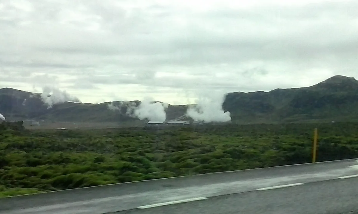
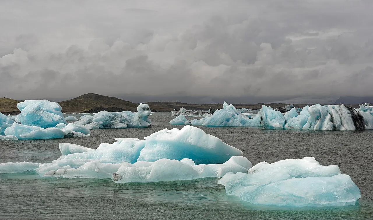
Featured image: ThinkGeoEnergy, CC BY 2.0, via Wikimedia Commons.
Where to check Iceland road conditions before you drive
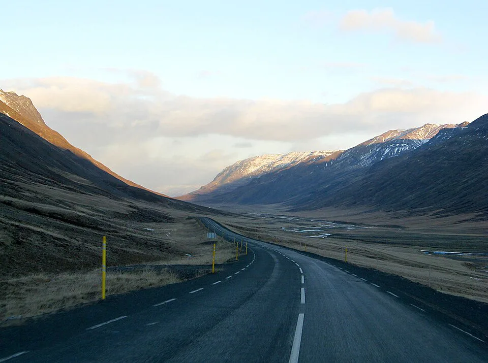
Start with the official road map at road.is. The address now forwards to umferdin.is, the Icelandic Road and Coastal Administration's live traffic map, which shows surface status and closures for the national road network. Next, read weather and wind warnings from the Icelandic Met Office. Wind and snow forecasts often explain why a road status changes later in the day. Then look at visitor alerts on safetravel.is, which is built for travellers rather than locals. Road authority information is also available by phone on 1777, a traffic service line, so ask there if you cannot read the map. Road cameras are linked from the road authority's site and show what the surface looks like right now. Treat these live sources as the final word. Anything written in a guide, including this one, is only a starting point.
- Morning step 1: open the road.is map and look at every road on your route, not only the first leg.
- Morning step 2: read the Met Office forecast and any wind or snow warning for each region you cross.
- Morning step 3: scan safetravel.is for alerts, then open a road camera near your hardest stretch.
- Morning step 4: decide go, wait or reroute before you leave the guesthouse, and recheck at your first fuel stop.
How to read the road status map
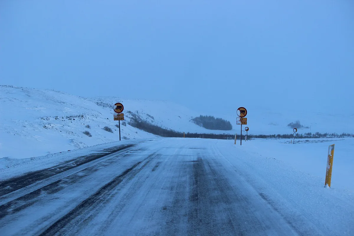
The road.is map colour-codes each road section by surface state. Expect categories along the lines of open and clear, slippery, ice, snow and closed. The legend on the live map is the authority for exact names and colours, so read it before you rely on a colour. Roads can change state several times in one day. A stretch that looked fine at breakfast may be icy by late afternoon. Closed means do not enter. Closures are usually put in place because of impassable snow or another real risk. Driving past a closed sign can endanger rescuers as well as you, and a rescue can cost serious time and money. Our wider Iceland driving guide covers the rest of the rules behind a safe trip.
Road conditions by season
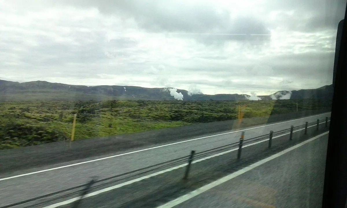
Iceland road conditions follow the calendar, but not neatly. March and April are still winter driving, with ice, wind and sudden closures. Highland roads open later than lowland ones, and opening dates vary from year to year, so the live map decides whether an F-road is open on your day. The table below keeps the picture qualitative on purpose.
| Season | Typical hazards | What to check | Vehicle implication |
|---|---|---|---|
| Winter | Ice, snow, short daylight, closures on the Ring Road and mountain passes | Road map, wind and snow warnings, safetravel.is alerts | Winter-ready tyres and a plan to stop early; highland F-roads are not an option |
| Spring (shoulder season) | Still winter driving: ice, wind, sudden closures, melting roads | Same sources, rechecked at midday | Treat as winter until the live map says otherwise |
| Summer | Gravel, single-lane bridges, livestock, fatigue in 24-hour daylight | Highland road status, river and weather notes | 2WD suits most main roads; F-road access rules decide the rest |
| Autumn | Return of ice and snow, strong wind, shorter days | Wind warnings, early-season closures | Plan daylight and fuel stops more carefully each week |
Go, wait or reroute: a decision checklist
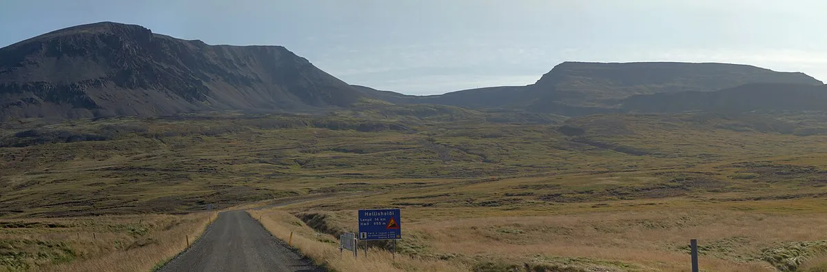
Use these triggers each morning. Only official sources can give wind or snow thresholds, so read the exact figures from the Met Office or the road authority rather than guessing.
- Road shown closed: do not go. Choose a different road or a different day.
- Wind warning on your route: wait, or reroute inland or sheltered. Park facing into the wind and hold car doors tightly.
- Low-visibility or snow advisory: wait until it clears, or shorten the day.
- Planned gravel road or F-road: go only if both its live status and your rental terms allow it.
- Late-day winter drive: reroute to a closer stop. Winter daylight is short and ice forms fast after dark.
- Status colour changed while you drive: stop at the next safe place and recheck before continuing.
Hazards that road status does not show
A clear status colour does not make a road easy. Gravel needs a lower speed, and your posted speed limits assume good surfaces. Black ice can sit on a road the map calls open. Single-lane bridges follow a simple rule: the car closer to the bridge crosses first, and Safetravel puts the limit across them at 50 km/h. Sheep and other livestock can run across rural roads without warning. Headlights should be on day and night. In summer, daylight lasts 24 hours around the solstice, which hides fatigue, so sleep properly and stop often. Wind can rip a car door from your hand, and rental damage cover often treats that as your cost. Read local driving rules before your first long drive.
When highland roads usually open
Highland roads stay closed through winter and spring, and the road administration's driving safety page warns that many do not open until late June or early July. It also tracks the opening date of each mountain road every year. Averages for 2021 to 2025 give a useful guide:
- Route 35 over Kjölur, Gullfoss to Hveravellir: around 1 June.
- F208 from Sigalda to Landmannalaugar: around 2 June.
- F206 to Lakagígar: around 20 June.
- F26 over Sprengisandur: around 6 July.
- F210 from Keldur to Hvanngil: around 7 July.
In a late year the opening can come well after the average: F208 opened as late as 23 June in that period, three weeks past its average, so treat these as odds, not dates. The full year-by-year list is on Vegagerðin's opening of mountain roads page, and our F-road guide covers vehicle rules.
Choosing a vehicle for the conditions
A 2WD car handles the Ring Road and most paved routes in summer. A 4x4 helps in winter snow and is required for highland routes, but it does not make a closed road legal. F-roads are mountain tracks with their own access rules, covered in our F-road access rules. High-sided vehicles feel crosswinds more, and a campervan is the clearest case, so read about campervan wind exposure before you book one. Insurance cover, gravel and sand damage terms, and F-road bans vary by company, so read your own contract. For general advice, see our notes on rental terms. If you collect a car on arrival, compare Keflavik airport desks with Reykjavik pick-up options.
If your road closes: a backup plan
Build one spare day into any route that crosses mountains or the south coast. When a road closes, open the live map and look for a detour before you commit. A detour can add hours, so recheck fuel, and use these fuel stops to plan where to refill. Tell your guesthouse if you will arrive late or not at all. Ask the rental company about its policy on closures before you set out. Prepare a fallback day plan near where you are staying, such as a museum, a pool or a town walk. For advice on whether to continue, or for how to ask for help, use the contact options on the safetravel.is site.
If a closure forces a detour, call 1777 for road authority information before you commit to a new route.
Road-rule changes worth knowing
Optional updates to our guides.
You might also like
Continue reading
More guides you'll find useful