
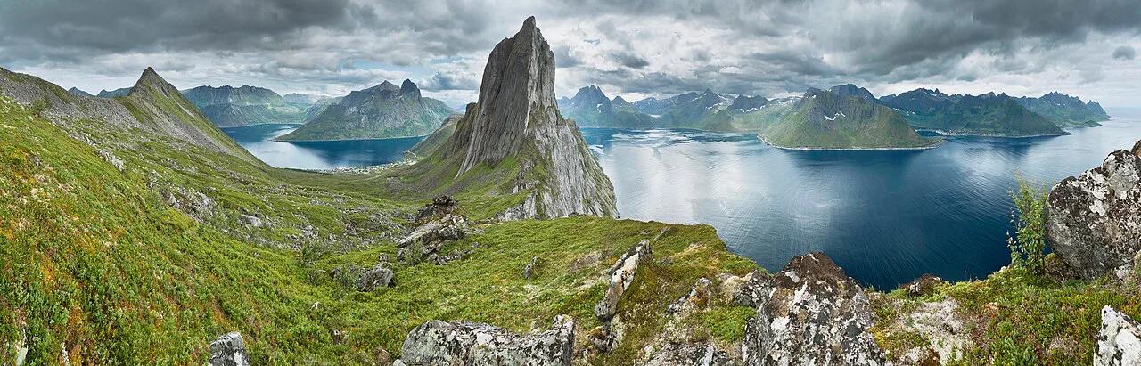
Senja Scenic Route: Driving Guide & Tips
Plan the Senja scenic route in Norway: where Fv 862 runs, how long to allow, season and road checks, and the stops worth the detour.
On this page
Last updated November 2026: the Senja scenic route is the Senja National Tourist Route, 102 km of Fv 862 and Fv 86 between Gryllefjord and Botnhamn on the island's outer coast. It is one of Norway's national tourist routes. You need a car and flexible time, because the stops are small and the weather sets the pace. Our guide covers the route order, time options, season checks and when another drive suits you better.
Featured image: Ximonic (Simo Räsänen), CC BY-SA 4.0, via Wikimedia Commons.
Senja Scenic Route at a Glance
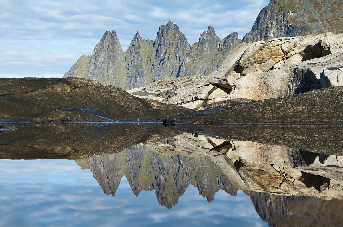
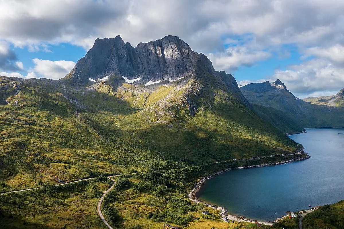
Senja is an island in Troms, northern Norway. The official Senja route page gives the route as 102 km along Fv 862 and Fv 86, climbing from sea level to a high point of 287 m. Gryllefjord and Botnhamn mark the two ends. Two viewing points anchor the drive: the Bergsbotn viewing platform and the Tungeneset platform. Short side trips lead to Mefjordvær on Fv 7868 and Husøy on Fv 7886. Our verdict: it is worth the detour if you have a car and a free half day. Skip it if you are rushed or dislike narrow coastal roads. Our guide to scenic drives in Norway lists alternatives.
Route Map and Stop Sequence
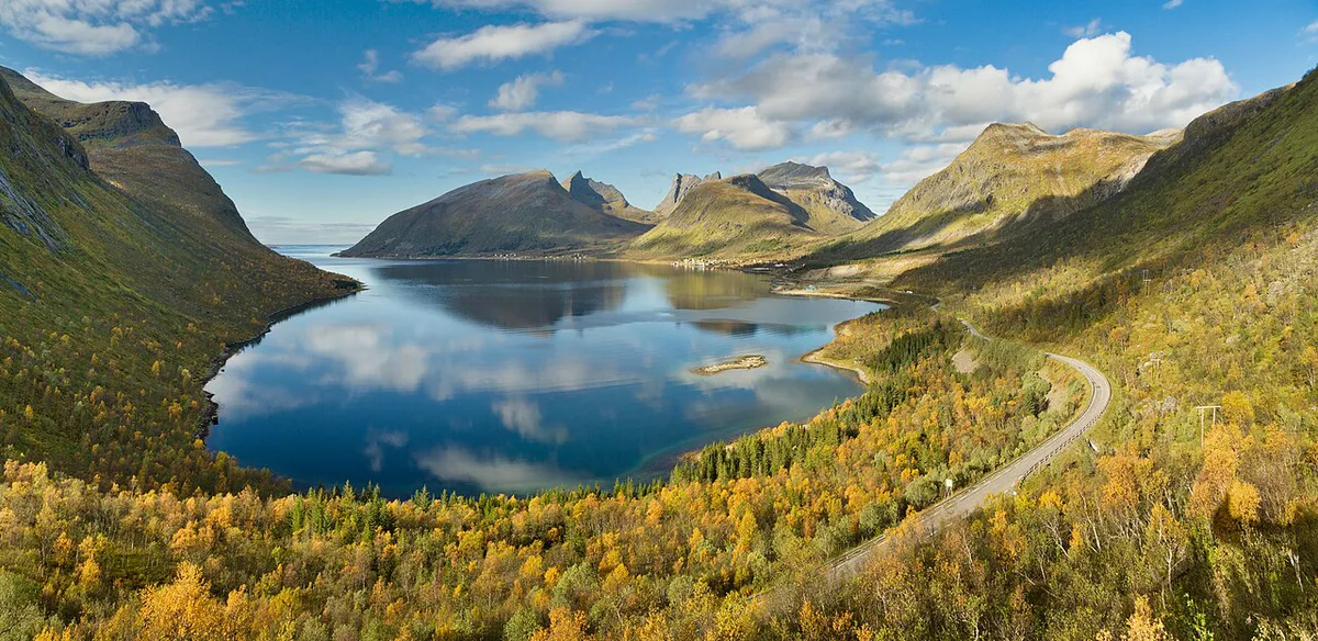
Treat Gryllefjord to Botnhamn as the core route and the two villages as optional extras. Fv 862 works in either direction. Choose the direction that finishes closest to your bed for the night, so you are not driving a narrow coastal road tired.
- Gryllefjord: one end of the route.
- Bergsbotn viewing platform: a named stop and rest area.
- Tungeneset platform: the second named viewpoint and rest area.
- Ersfjordstranda: a rest area by the beach at Ersfjord.
- Botnhamn: the other end of the route.
- Mefjordvær (Fv 7868) and Husøy (Fv 7886): short detours off the core road.
The official route lists four rest areas, at Mefjordvær, Ersfjordstranda, Tungeneset and Bergsbotn. Campervan drivers can empty waste at the dump stations in Skaland, Senjahopen and Mefjordvær.
How Much Time to Plan for the Senja Scenic Route
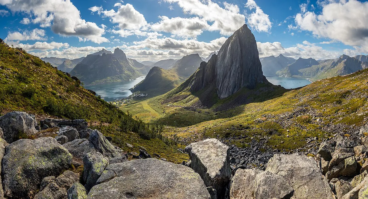
Allow more time than the map suggests, because every viewpoint and village invites a stop. At 102 km the route is short on paper, but narrow coastal roads, the two detours and the stops stretch it. A 7-day Senja itinerary is a popular format, but only hikers need that much time.
Skip the 7-day Senja itinerary unless you hike; most self-drive visitors fit the route into a full day with detours.
| Option | Best for | Trade-off |
|---|---|---|
| Half-day drive-through | Travelers passing through with a car | Viewpoints only, no detours |
| Full day with detours | Most self-drive visitors | Mefjordvær and Husøy fit, but little slack |
| 2-3 days | Photographers, hikers, slow drivers | Needs a booked bed or campervan |
Getting to Senja and Getting Around
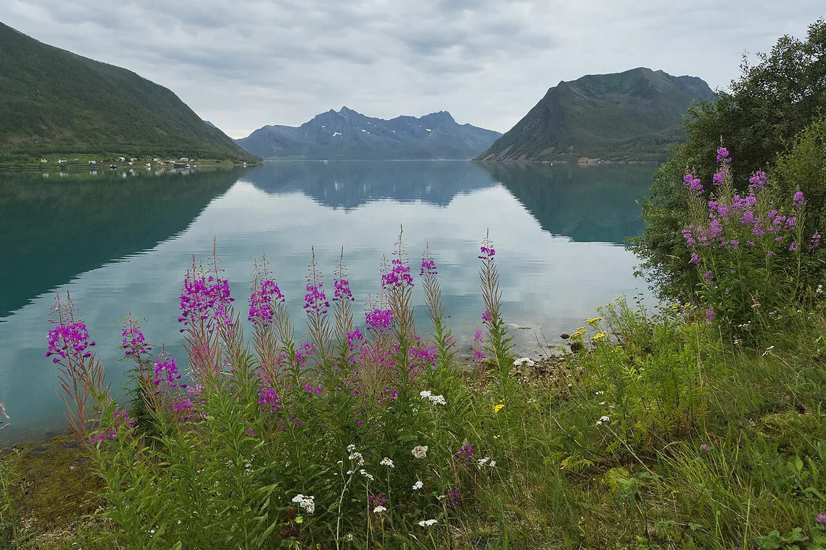
Most drivers reach Senja from the E6 on the mainland, crossing the Gisund Bridge at Finnsnes. Two car ferries offer other ways in: Botnhamn to Brensholmen, on the Tromsø side, and Gryllefjord to Andenes on Andøya. The Statens vegvesen site carries road status for the approach. Read our guide to renting a car in Norway if you are picking one up in Tromsø. Our Norway driving guide covers the general rules. US drivers should also read about driving with a US license. Fuel and EV charging are sparse in small villages, so fill up or charge in a larger town first. Viewpoint parking is limited to small lots, as explained in our Norway parking guide.
Fv 862 offers only small-lot viewpoint parking, so plan around the Bergsbotn and Tungeneset platforms.
Best Time to Drive the Senja Scenic Route
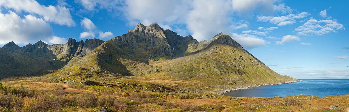
Daylight and road conditions decide the season. Summer brings midnight sun, which gives you light for a late drive. Winter brings polar night, weather exposure and a need for real winter-driving skill. Read road status and the forecast the morning you drive.
| Season | What changes | Check before you go |
|---|---|---|
| Summer | Long daylight, easiest driving | Booking lead time for beds |
| Shoulder | Variable weather, shorter days | Road status and forecast |
| Winter | Polar night, snow and ice | Winter tires, road closures, your own experience |
Costs and Practical Budget
Fuel is your main running cost, and lodging is the largest overall. Parking at viewpoints and villages is a minor line item. Tolls and ferries depend on your approach route: the bridge from Finnsnes is the road route, and the Botnhamn and Gryllefjord ferries charge a fare for each crossing. See the AutoPASS toll information and our guide to Norway toll roads. Food in small villages is limited, so carry snacks and water.
Where to Stay Along the Route
Village guesthouses and cabins suit short stays, but small places fill up in summer, so book early. A campervan gives you flexibility to stop where the light is good. Our campervan hire guide explains the rental basics.
Common Mistakes to Avoid
Most problems come from underestimating the route. Use this short list before you set off.
- Planning the drive as a quick transit instead of a day of stops.
- Starting with a low tank or battery.
- Skipping the road-status and weather check.
- Rushing the Mefjordvær and Husøy detours.
- Ignoring local limits, which our Norway speed limits guide covers.
Senja vs Other Norwegian Scenic Drives
Senja suits a quieter, coast-and-mountain drive in northern Norway. For a bigger island circuit, see our Lofoten road trip guide. For a short, famous bridge drive in the south, try the Atlantic Ocean Road, Norway: Is the Detour Worth It?. For hairpin bends, look at Trollstigen. When you are ready to link several drives, use our Norway road trip planner.
Frequently Asked Questions
Is Senja, Norway worth visiting?
Yes, if you want a coastal drive with named viewpoints at Bergsbotn and Tungeneset. It suits self-drivers with at least a full day. Short on time, you may prefer a different route.
How do you get to Senja, Norway?
You drive in from the mainland, usually over the bridge at Finnsnes. Car ferries also run from Brensholmen, near Tromsø, to Botnhamn and from Andenes to Gryllefjord.
Is it possible to take a day trip from Tromsø to Senja?
It is possible with a car, but it makes for a long day with little time at the viewpoints. Two or more days works better if you want the detours.
Road-rule changes worth knowing
Optional updates to our guides.
You might also like

Continue reading
More guides you'll find useful