Norway National Tourist Routes: Which to Drive and When
A practical guide to Norway's National Tourist Routes: how to choose, when mountain roads open, and how to plan driving, tolls and stops.
On this page
Last updated November 2026: Norway national tourist routes (Nasjonale turistveger) are designated scenic road stretches with architect-designed rest stops and viewpoints. They are a curated set of public roads rather than one road, so the real task is choosing the right few. Pick by month of travel first, then by region, then by how much driving you will tolerate, and use our wider guide to Scenic Drives in Norway: Best Routes and How to Choose for context.
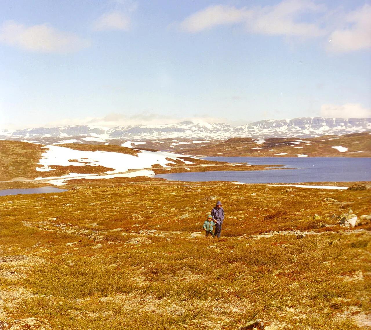
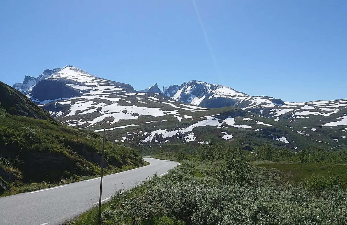
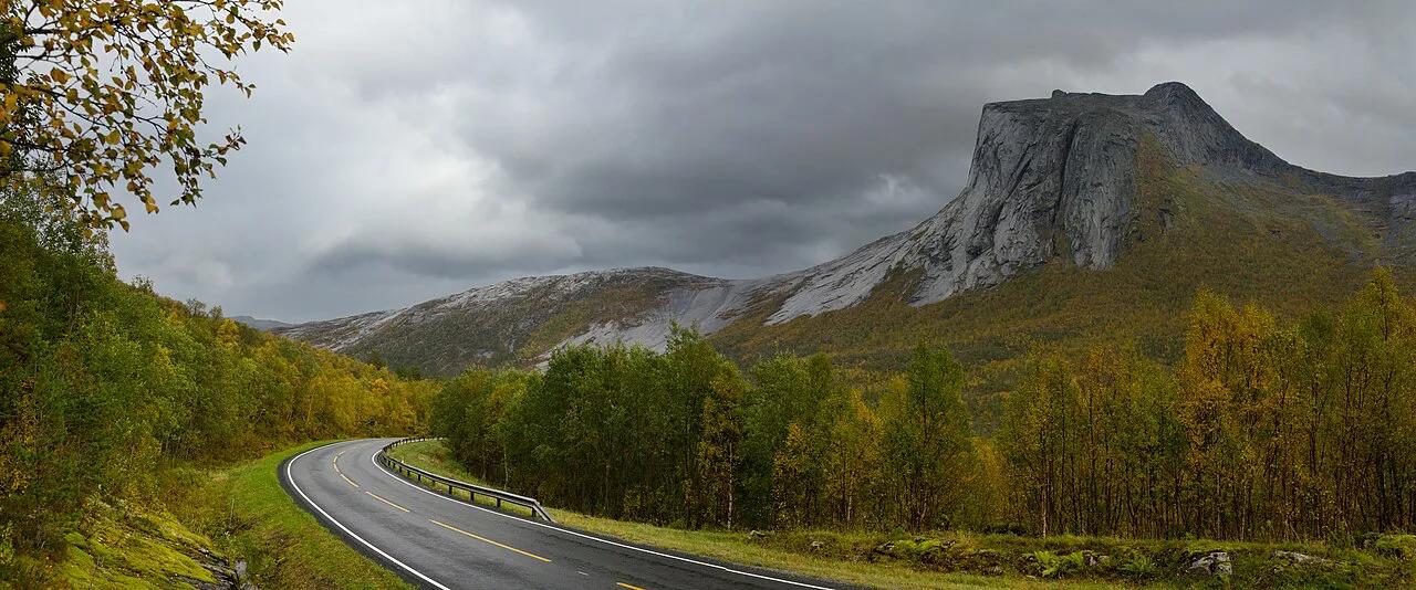
Featured image: Ximonic (Simo Räsänen), CC BY-SA 3.0, via Wikimedia Commons.
What the National Tourist Routes are
The programme is run by the Norwegian Public Roads Administration (Statens vegvesen), and the official Nasjonale turistveger site holds the route list. A stretch earns the designation for its landscape and for the design work along it. That means viewpoints, rest stops and bridges drawn by architects and artists. These are ordinary public roads. There is no ticket, no pass and no entry gate, and any vehicle allowed on the road can use it. Your own planning decides how well the day works.
How many routes there are and where they cluster
A 2023 English-language book on the programme covers 18 drives. Treat that as a guide to scale, because the official site holds the current list and count. Routes group into four broad regions, and the region mostly decides your season and your driving style.
- Western fjords: Geirangervegen and Trollstigen sit here, with steep grades and hairpin bends.
- Central coast: the Atlantic Road (Atlanterhavsveien) runs near Molde and Kristiansund.
- Southern and mountain Norway: Vøringsfossen sits in the Hardangervidda region and is a waterfall stop rather than a drive.
- Northern and Arctic: Lofoten, Senja and Havøysund offer long, remote stretches.
Which route fits which driver
Use this table to narrow the field. Cells that say "check official page" depend on current road data, so look them up before you commit to a date.
| Route | Region | Best for | Drive vs. stop time | Season risk | Difficulty |
|---|---|---|---|---|---|
| Geirangervegen | Western fjords | Fjord views, Dalsnibba viewpoint | Allow extra stop time | Summer-oriented; check official page | Steep grades, hairpins |
| Trollstigen | Western fjords | Mountain-road drama | Allow extra stop time | Season-dependent; check official page | Steep grades, hairpins |
| Atlantic Road | Central coast | Coastal bridges, short drive | Short drive, long stops | Wind and storm exposure | Easy, weather-dependent |
| Lofoten | Northern/Arctic | Island scenery, longer trips | Long overall distances | Daylight and weather | Moderate, remote |
| Senja | Northern/Arctic | Quieter Arctic coast | Long overall distances | Daylight and weather | Moderate, remote |
| Havøysund | Northern/Arctic | Remote coastal driving | Check official page | Check official page | Check official page |
Route spotlights
Each spotlight links to a dedicated guide for the full route. Trolltunga and Preikestolen are hikes, so do not plan them as routes.
- Atlantic Road: an 8 km (5 mile) stretch linking islands by bridges. Storseisundet Bridge and Eldhusøya are the key stops, and Molde or Kristiansund make practical bases. Strong wind and storms change the experience, so read our Atlantic Road guide and the Atlanterhavsveien visitor page.
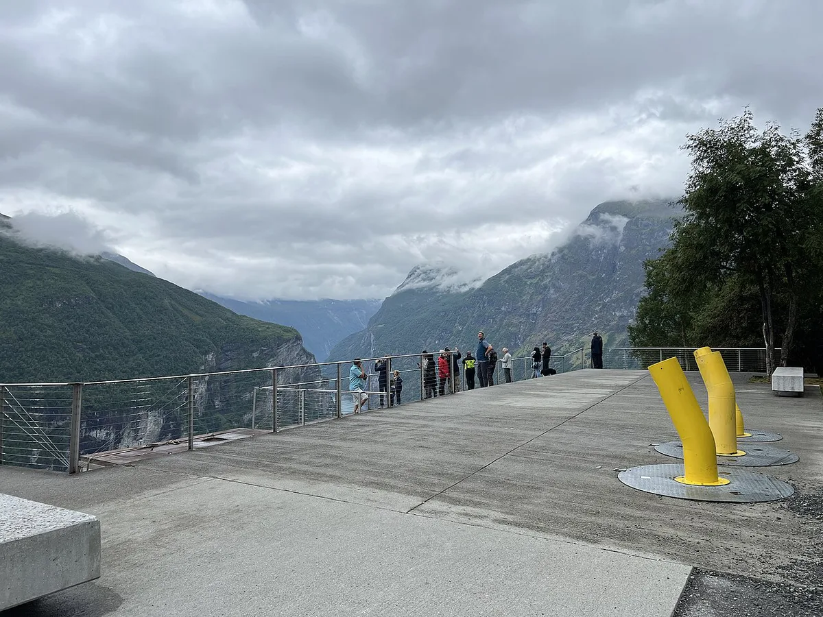
- Geirangervegen: steep gradients and sharp hairpins lead to the Dalsnibba viewpoint. The Seven Sisters and Suitor waterfalls line the fjord. Summer, June through August, is the usual window.
- Trollstigen: a season-dependent mountain road. Our Trollstigen route guide covers the approach.
- Lofoten and Senja: Arctic routes where daylight, weather and gaps between fuel stops shape the plan. Start with our Lofoten Road Trip: Route, Car Hire, Days and Season, then see the Senja Scenic Route: Driving Guide & Tips.
- Vøringsfossen: a 182 m (597 ft) drop into Måbødalen valley. Visit it as a waterfall stop on a drive through Hardangervidda. Late spring through summer gives the fullest flow.
When to go: seasonal closures and timing
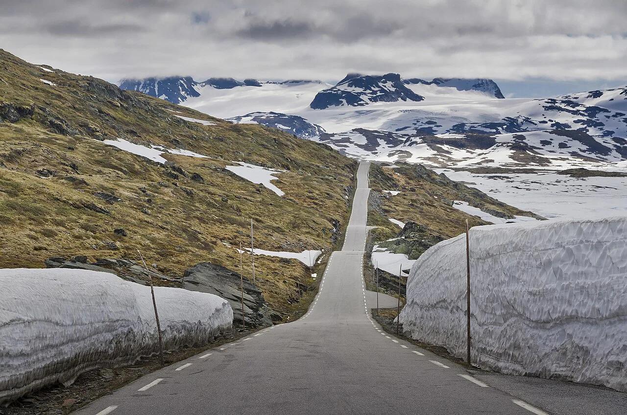
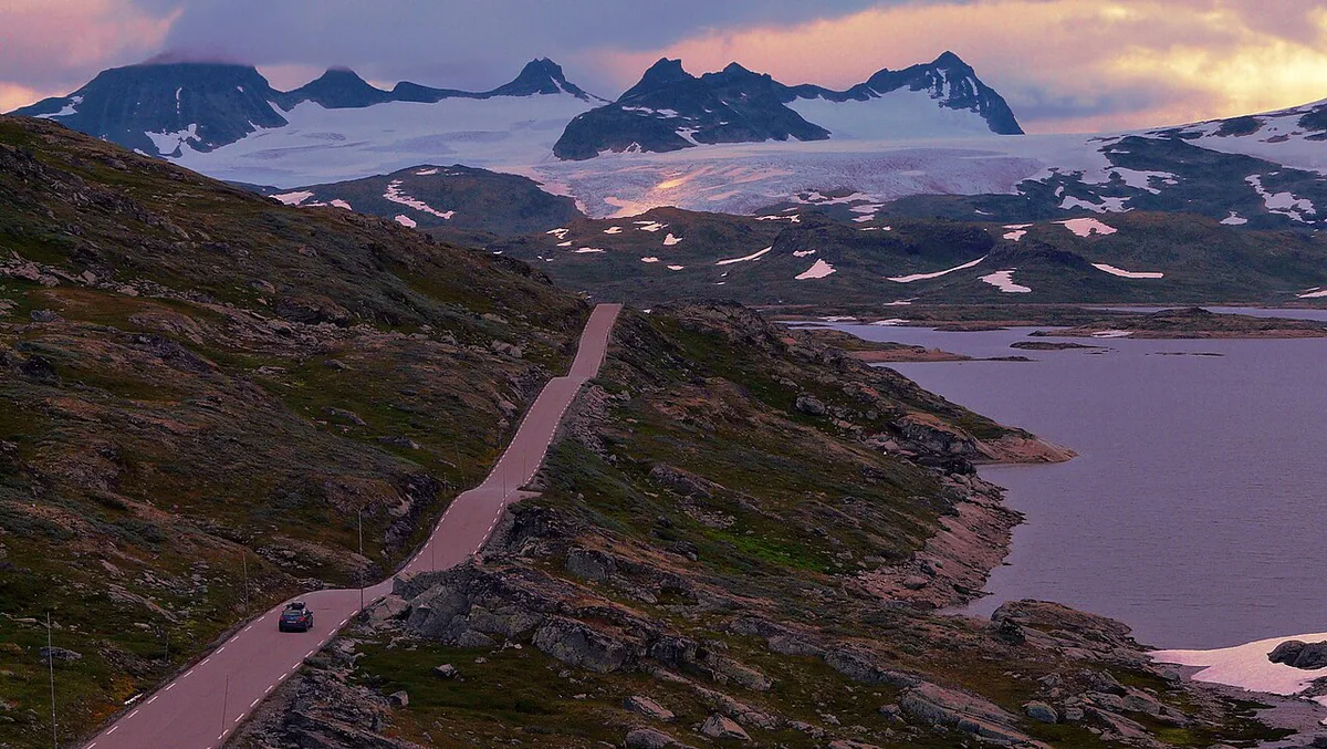
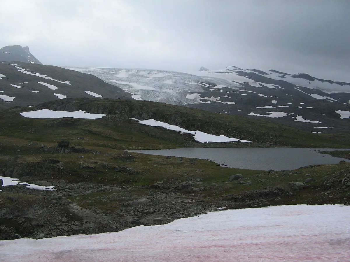
High mountain passes close in winter and reopen in late spring, and the dates shift from year to year. Never assume every pass is open in May or June. Check live road status on the Statens vegvesen site before each leg. Mid-summer, June through August, brings the clearest roads but also the heaviest campervan traffic. Shoulder months are quieter, with more closure risk.
| Risk | Where it bites | What to do |
|---|---|---|
| Winter closure | Mountain passes such as Trollstigen | Check live road status before each leg |
| Wind and storm | Atlantic Road bridges | Keep the stop flexible and watch the forecast |
| Short daylight | Lofoten, Senja, Havøysund | Plan shorter driving days off-season |
| Peak-season crowds | Geirangervegen, Trollstigen | Start early and book bases ahead |
Driving logistics that decide the trip
Public transport on these routes is weak, so a car or campervan is the realistic choice. Our Norway driving guide covers the basics. Compare options in our guides to Renting a Car in Norway: Costs, Rules & What to Check and campervan hire. Narrow roads, hairpins and passing places slow every leg, and some links use ferries. Read up on toll roads and the AutoPASS toll system before you drive. Viewpoint parking is covered in our parking guide, and local limits in Norway's speed limits. US drivers can start with driving with a US license.
Havøysund's 67 km length makes a car or campervan the realistic choice, since public transport on these routes is weak.
Time, cost and access trade-offs
As editorial guidance, allow drive time plus two to three times that for stops. Cost drivers are rental, fuel, tolls, ferries and lodging near the route. Current charges sit with the toll and ferry operators. Fewer routes with real stops beat ticking off many.
Atlantic Road's 8 km (5 mile) stretch is a short drive, so budget two to three times the drive time for stops at Storseisundet Bridge and Eldhusøya.
- Do not assume every pass is open in May or June.
- Do not drive between stops on a short timeline.
- Do not underestimate ferry waits.
- Do not treat hikes such as Trolltunga or Preikestolen as routes.
Sample route combinations
Treat these as suggestions, not fixed itineraries. Our Norway road trip plan shows how to stitch them together.
- Western fjords and coast loop: Geirangervegen, Trollstigen and the Atlantic Road, best in mid-summer.
- Arctic add-on: Lofoten or Senja, with extra daylight and fuel planning.
- Short-trip pick: the Atlantic Road with a Molde or Kristiansund base, or Vøringsfossen as a single stop.
Havøysund: a remote Arctic route to plan carefully
Havøysund is the remote Arctic choice when you want coastal scenery without building a trip around Lofoten. The route follows fylkesvei 889 (fv. 889) between Kokelv and Havøysund. Its 67 km length can look manageable on a map, but weather, stops and limited services can make it a slower leg.
Use it as a deliberate out-and-back or as part of a wider Finnmark drive, rather than treating it as a quick detour. Fill up before committing to the road, keep food and warm layers in the car, and avoid leaving the return journey until late in the day outside summer. Check Statens vegvesen live road information before departure, especially when wind, snow or short daylight could affect the drive. Havøysund works best for drivers who are comfortable with remote roads and flexible enough to change plans.
Frequently Asked Questions
What is the famous road in Norway?
The Atlantic Road is the best-known, an 8 km stretch of island-hopping bridges. Trollstigen and Geirangervegen are the other big names, both steep mountain roads in the western fjords.
What is the best month to go to Norway?
For the national tourist routes, June through August gives the clearest roads. Mountain passes may still be closed in May or June, so check live road status first.
Road-rule changes worth knowing
Optional updates to our guides.
You might also like
Continue reading
More guides you'll find useful