
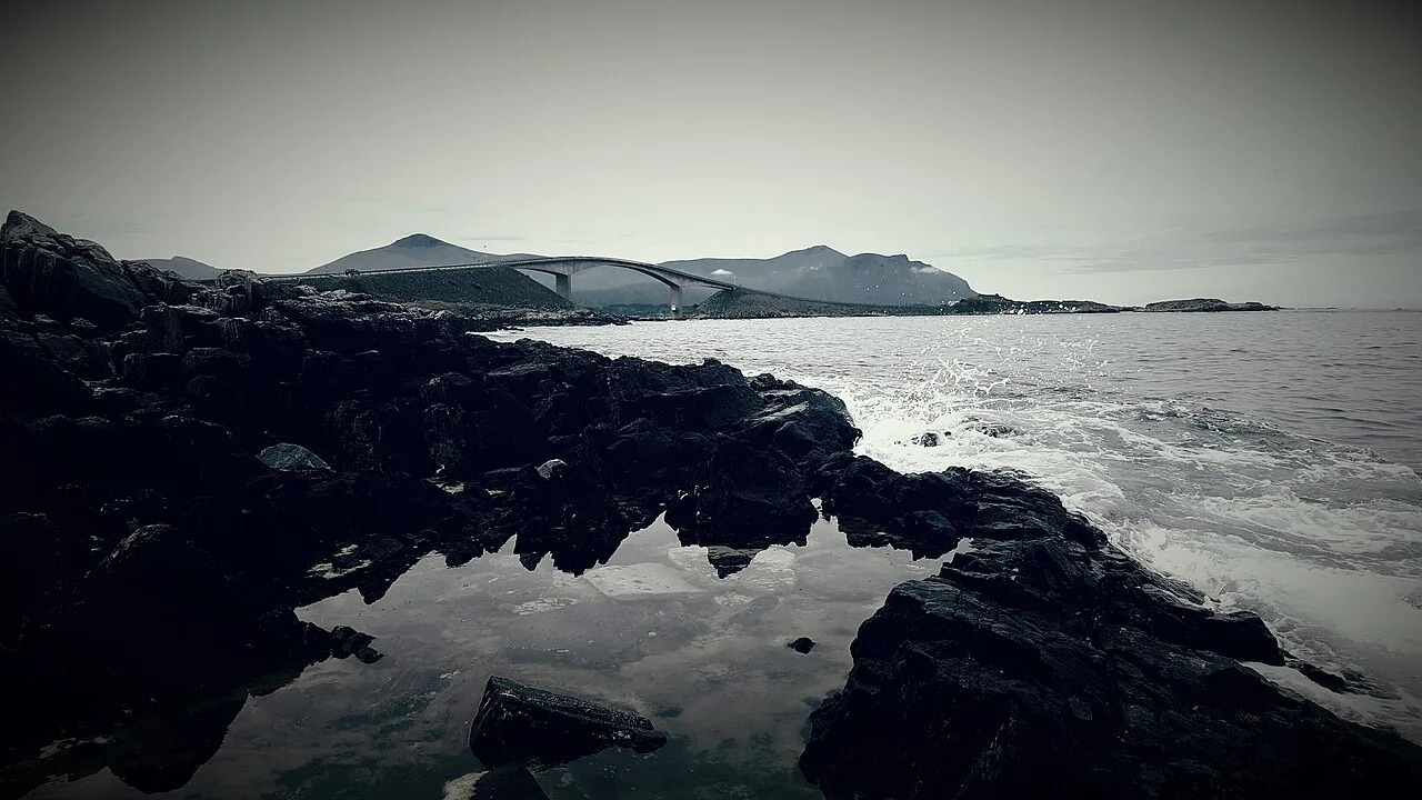
Atlantic Ocean Road, Norway: Is the Detour Worth It?
Plan the Atlantic Ocean Road in Norway: how to get there, how long to allow, best season, costs and who should skip the detour.
On this page
Last updated November 2026. The Atlantic Ocean Road (Atlanterhavsveien) links Averøya with the mainland between Kristiansund and Molde, and it is one of the best-known coastal drives in Norway. It is worth a detour if you are already driving this coast, and it is easy to skip if you are not. Below you will find who should go, how to reach it, how long to allow and when conditions turn rough.
Featured image: CHG, CC BY 3.0, via Wikimedia Commons.
Is the Atlantic Ocean Road worth the detour?
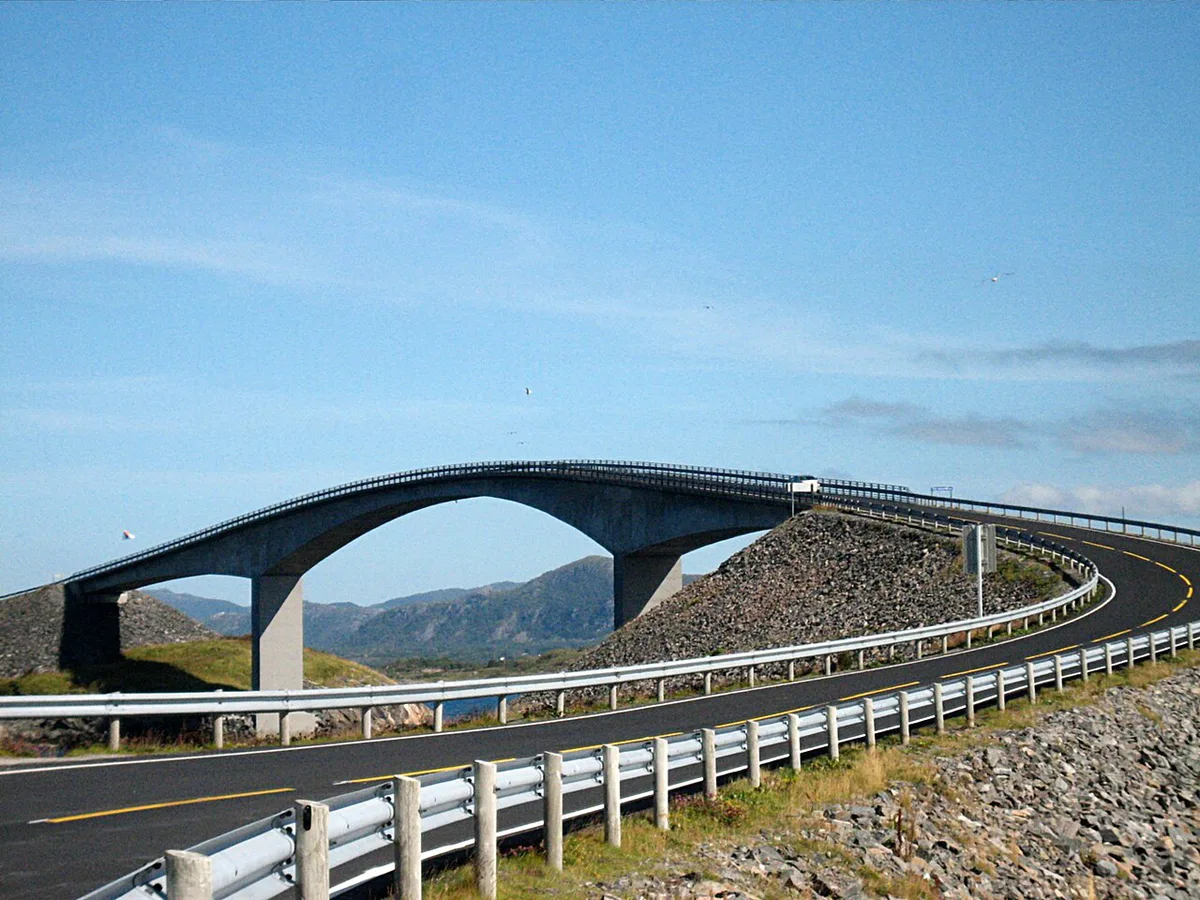
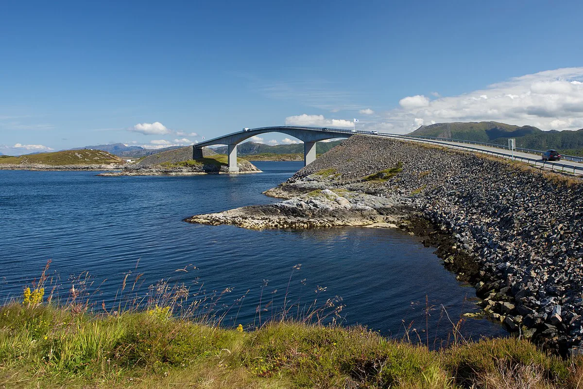
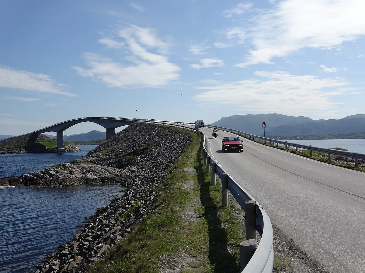
Yes, if you are driving the Møre og Romsdal coast anyway. The road crosses open water on a chain of bridges and causeways, and the Storseisundet Bridge is its best-known span. The bridge stretch itself is short, so treat it as a highlight of a longer route. It is a poor reason to cross the country on its own. Official route information is on the national tourist route page, and the road also has its own visitor site.
- Go if you are travelling between Kristiansund and Molde with a car and some flexibility.
- Go if you like coastal photography and can pick a clear, calm window.
- Skip it if you are short on time and nowhere near Kristiansund or Molde.
- Skip it if you only want a long, winding drive, since the bridge section is brief.
Where the Atlantic Ocean Road is and how to get there
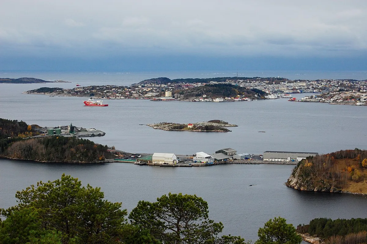
The road runs between Kristiansund and Molde, with Averøya on the Kristiansund side. Drivers usually approach from one of those two towns. Exact drive times depend on your route and on tunnel or ferry connections, so check them in your navigation app on the day. Without a car you will need local bus or taxi options, and those are worth checking with regional operators before you commit. For route planning across the region, see our guide to a Norway Road Trip: Routes, Days, Costs and Driving Tips. General rules and preparation are covered in Driving in Norway: 7 Rules, Tolls & Road Tips.
How long to allow on the Atlantic Ocean Road
Allow time for stopping, not for driving. The bridge section takes minutes at road speed, but most visitors want to pull over, walk and photograph. Build the stop around the weather, because a clear afternoon and a gale make very different visits. Official stop and viewpoint details are listed on the visitor site, so use it to choose where to park and walk.
| Visit style | Time needed | Who it suits | Weather dependence |
|---|---|---|---|
| Quick drive-through | Short; a pass over the bridges | Travelers already heading between Kristiansund and Molde | Low, but views suffer in rain and cloud |
| Stop-and-walk visit | A longer pause for viewpoints and walks | Photographers and first-time visitors | High; wind and waves shape the visit |
| Half-day or day trip | Time for stops, food and a slow return | Anyone based in Kristiansund or Molde | Medium; plan a backup for poor weather |
Best time to drive the Atlantic Ocean Road
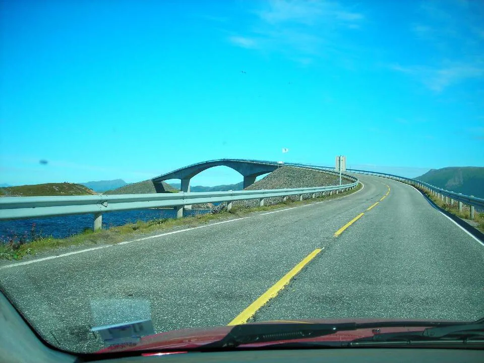
Pick your season by what you want to see. Summer gives the longest daylight and the easiest driving. Autumn and winter bring rougher seas and more dramatic scenes, but also real risk. In a storm, waves can reach the road, so do not stop beside the water. Check current road status with Statens vegvesen and the forecast before you set out. Postpone the drive if a closure or storm warning is in place.
| Season | What you see | Risks | Who it suits |
|---|---|---|---|
| Summer | Long daylight, easier stops, calmer sea | Busier viewpoints and parking | First-time visitors and families |
| Shoulder season | Changing light and fewer people | Variable wind and rain | Flexible drivers who watch the forecast |
| Storm season | Heavy surf near the road | Spray and waves on the road; possible closures | Experienced drivers who stay in the car and obey closures |
| Winter | Snow, low light and short days | Slippery surfaces and limited daylight | Confident winter drivers with suitable tires |
Costs, tolls and parking at the Atlantic Ocean Road
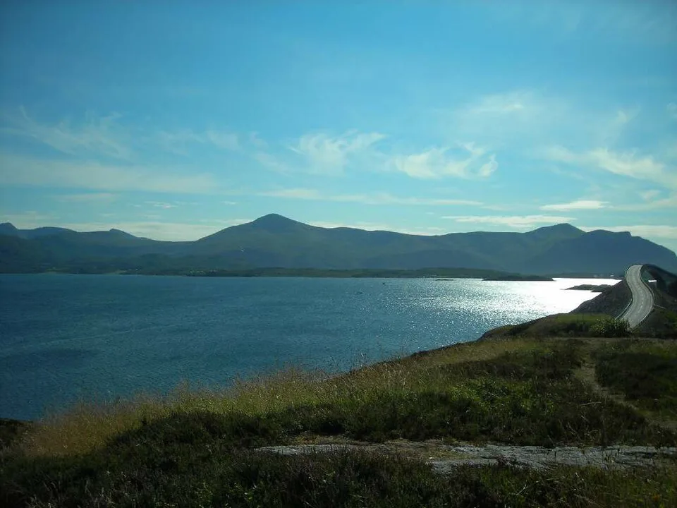
Do not assume the road is free or tolled. Toll status and rates change, so check the current position on AutoPASS before you drive. Our guide to Toll Roads in Norway: How Tourists Pay (Rental & Foreign Cars) explains how charges are billed to rental cars. Your main extra costs are fuel and time for the detour. For lots, fees and overnight rules, see Parking in Norway: Apps, Signs, Costs & Fines.
Driving practicalities on exposed coastal roads
Expect wind, narrow shoulders and stopping tourists. Drive at a steady pace and watch for people stepping out to take photos. Pull over only in marked areas, never on the bridge carriageway. Check posted limits as you go, and read our guide to Speed Limits in Norway: Default Limits, Cameras and Fines (2026) for the national rules. Wind matters most for tall vehicles and caravans. If you are hiring one, see campervan hire in Norway. Cyclists also use coastal roads, so give them room when you pass.
- Renting a car for this coast is covered in Renting a Car in Norway: Costs, Rules & What to Check.
- Visitors on a US license should read driving in Norway with a US license before pickup.
Fitting the Atlantic Ocean Road into a longer route
The road works best as one stop in a longer coastal drive. The Norwegian national tourist routes programme links many of the country's best scenic roads, and our overview of Norway's national tourist routes shows how they connect. Another route in western Norway is Trollstigen, which pairs well with a Møre og Romsdal trip. For other options, compare Scenic Drives in Norway: Best Routes and How to Choose. Far to the north, the Lofoten Road Trip: Route, Car Hire, Days and Season and the Senja Scenic Route: Driving Guide & Tips are separate trips rather than add-ons.
Mistakes to avoid on the Atlantic Ocean Road
Most problems come from timing and weather. Plan around the forecast, not the calendar.
- Planning the bridge stretch in poor weather and finding nothing to see.
- Assuming a long drive, when the road is short and the value is in the stops.
- Underestimating wind and wave exposure near the water.
- Parking on the carriageway instead of in a marked area.
- Skipping a toll and road-status check before you leave.
Frequently Asked Questions
What is a famous road in Norway?
The Atlantic Ocean Road is among the best known, and Trollstigen is another well-known route. Both sit on the national tourist route network in western Norway. Our guide to Scenic Drives in Norway: Best Routes and How to Choose covers more options.
What are the key driving rules in Norway?
Limits vary by road, and tolls are billed electronically. Read our guide to Driving in Norway: 7 Rules, Tolls & Road Tips for the basics before you set off. Current road rules are published by Statens vegvesen.
Road-rule changes worth knowing
Optional updates to our guides.
You might also like

Continue reading
More guides you'll find useful