
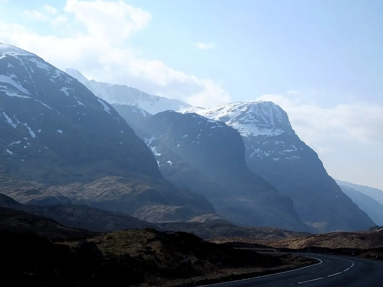
Glencoe Drive: Route, Stops and Driving Tips
Driving through Glen Coe on the A82: route, direction, viewpoint stops, road conditions and practical tips for hire cars and campervans.
On this page
Last updated November 2026: the glencoe drive follows the A82 through Glen Coe, between Rannoch Moor and Glencoe village. It is short on the map but slow in practice, because almost every bend offers a reason to pull in. Confident drivers in a hire car or campervan can do it comfortably in daylight.
Featured image: sylvia duckworth, CC BY-SA 2.0, via Wikimedia Commons.
Glencoe Drive at a Glance
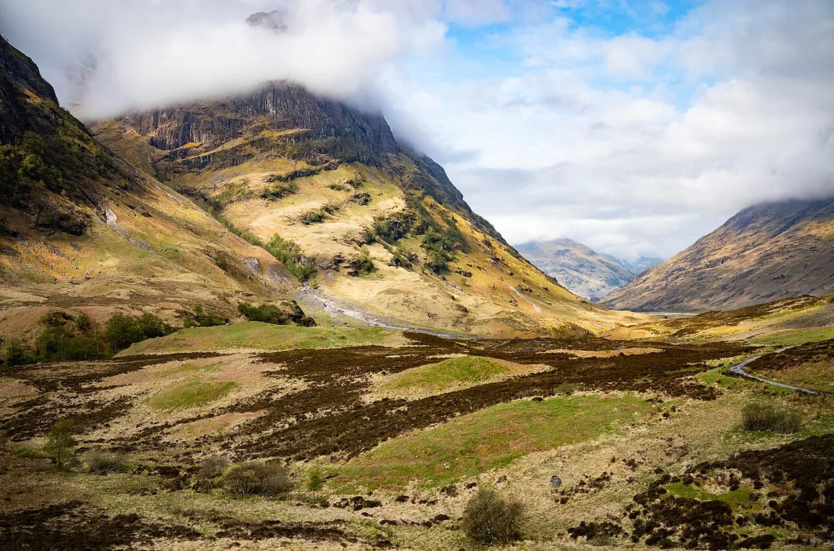
Glen Coe is a road-trip leg, not a destination with a gate or a ticket. You drive the A82 trunk road through a steep-sided glen, with open moorland at one end and Glencoe village at the other. Most of the effort is in the planning: choosing a direction, leaving time for stops and watching the weather.
- Road: the A82 between Rannoch Moor and Glencoe village.
- Best for: self-drivers on a Highlands road trip, in a car or campervan.
- Best conditions: dry daylight, ideally outside peak coach hours.
- Skip or shorten if: daylight is short, fuel is low or the forecast is poor.
Route and Direction: Which Way to Drive It
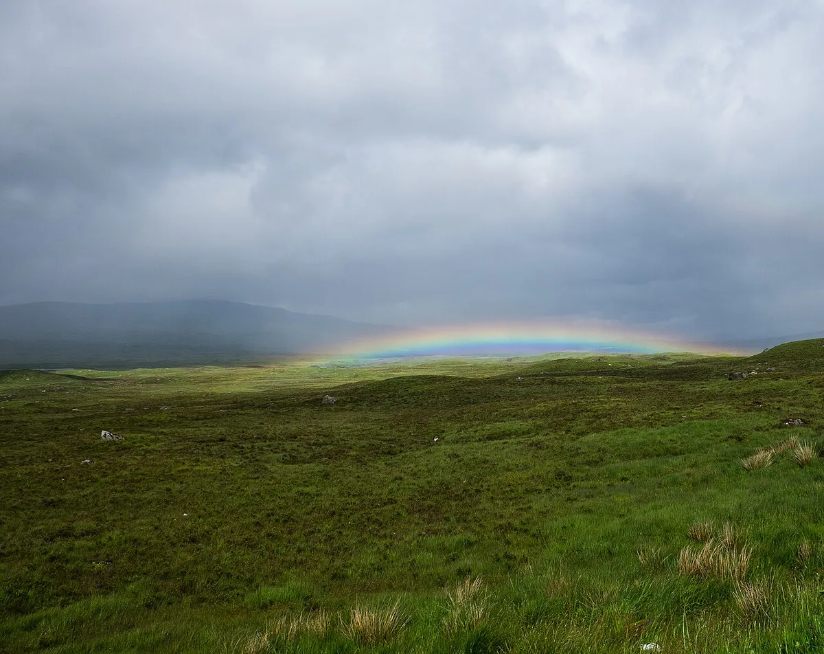
Most visitors reach the glen as part of a longer Highlands loop, so direction usually follows the wider itinerary. Driving from Rannoch Moor toward Glencoe village puts the glen's big mountain walls ahead of you as the moor drops away. Driving the other way, you climb out of the village and finish on open moorland. Both work. Pick the direction that lets you stop on the side of the road you are already travelling on, so you avoid risky crossings. Our guide to 6 Things to Settle Before Driving in Scotland covers keeping left and general road manners.
Best Stops and Viewpoints
Stops are where this drive is won or lost. Use signed lay-bys and car parks, never the road edge. Check parking rules locally, since fees and layouts change.
| Stop | What you see | Effort |
|---|---|---|
| Rannoch Moor edge | Open moorland before the glen narrows | None, view from the car park or lay-by |
| Buachaille Etive Mòr view | The pyramid peak at the glen's entrance | Low, short pull-in |
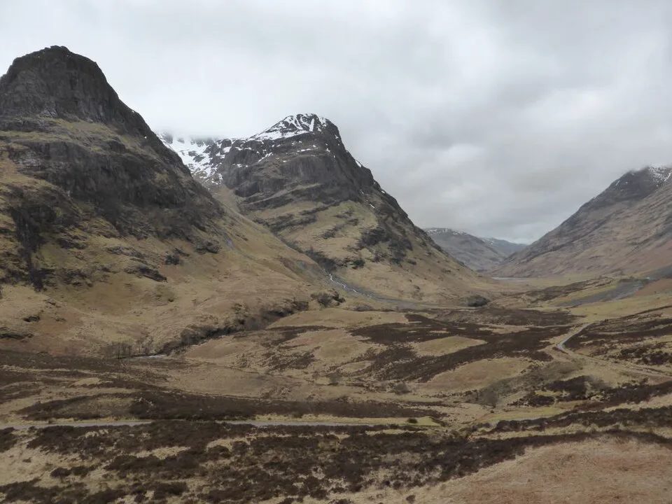
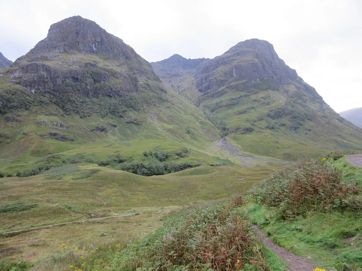
| Three Sisters viewpoint | The ridge spurs on the glen's south side | Low, short walk from a pull-in |
| Loch Achtriochtan | Water and steep hillsides beside the road | None to low |
| Glencoe Visitor Centre | Exhibits, toilets and trail information | Low, a short stop |
How Long to Allow for the Glencoe Drive
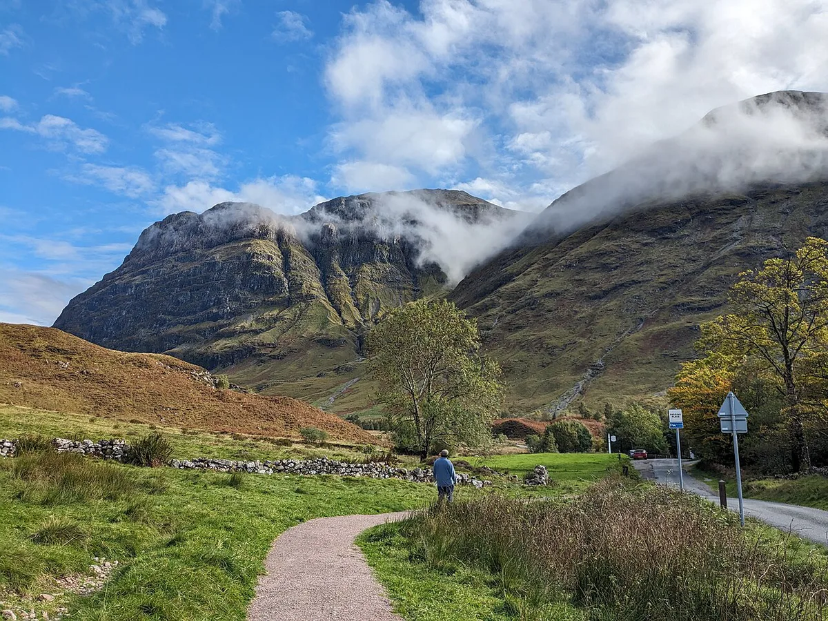
No official drive time is quoted here, because traffic and weather change it more than distance does. Plan by style of visit instead. Add a buffer if you are towing, driving a larger campervan or following a coach.
| Style | What it involves | Best when |
|---|---|---|
| Straight through | No planned stops, only the road | You are connecting two longer legs |
| With viewpoint stops | Three or four pull-ins for photos | You have a half morning or afternoon |
| With one walk | Viewpoint stops plus one trail from a car park | You have a good part of a day and dry weather |
Road Conditions, Weather and Closures
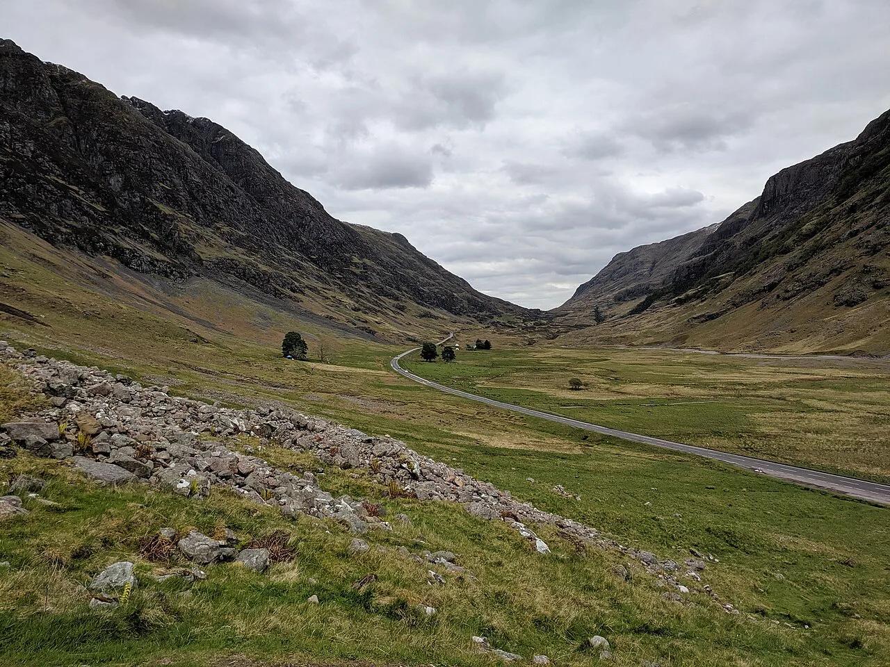
The A82 is a main route, but it is hemmed in by hillsides and lochs, with bends and limited room to overtake. Coaches and lorries share it, so keep your distance and let queues pass at safe spots. Weather can turn quickly in mountain country, and winter brings extra risk of ice, snow and short daylight. For live road status, start at Transport Scotland before you set off. Read our notes on Scottish speed limits before you go, because limits change along the glen. If your wider route includes narrow lanes, see single-track road etiquette.
Hire Car, Campervan or Tour: What Suits You
A hire car suits most drivers, since it is easy to park at small pull-ins. Compare options in our guide to Renting a Car in Scotland: Costs, Insurance & Tips. If you start in the capital, see car hire in Edinburgh for pick-up options. A campervan gives flexibility but needs more room to park and pass, so read about campervan hire in Scotland first. Nervous drivers, or anyone wanting to look at the scenery rather than the road, may prefer a guided tour. Manual transmission adds workload on hills, so consider an automatic if you rarely drive a manual.
Costs and Facilities
Driving the A82 itself carries no toll. Costs come from fuel, any car park fees and visitor centre charges, and those vary by site and season. Fill the tank before you reach the glen rather than assuming a station nearby. The same goes for EV charging: plan your charge in a larger town and treat any charger in the glen as a bonus. Mobile signal can drop between the hills, so download maps and offline directions first.
Fitting Glencoe Into a Bigger Route
Glen Coe slots neatly into a longer Scotland Road Trip: Routes, Days, Car vs Campervan. It is one of the more compact scenic stretches in our guide to Scenic Drives in Scotland: Best Routes, Timings and Tips. If you are heading on toward the west coast, compare it with the Isle of Skye Road Trip: 1, 2 and 3-Day Itineraries, which needs more time. The North Coast 500 Guide: Route, Days Needed & Planning Tips is a multi-day commitment, not a half-day detour. For a steeper mountain challenge, see the Bealach na Bà pass. Glen Coe asks less of you than any of those, which makes it a good first Highlands drive. Browse VisitScotland road trip ideas for more routes.
The Route East to West, Stop by Stop
Glen Coe itself is short: Wikipedia's Glen Coe article gives it as about 12.5 km long, with a floor less than 700 m wide where it narrows at the Pass of Glen Coe. The glen sits inside the Ben Nevis and Glen Coe National Scenic Area, and the National Trust for Scotland owns most of it. Driving west from Rannoch Moor, the landmarks come in this order:
- Kings House Hotel, a former coaching inn about 2 km east of the head of the glen, close to the A82 and the West Highland Way. The Glencoe ski centre, known as the White Corries, sits on Meall a' Bhuiridh nearby.
- Buachaille Etive Mòr, the pyramid-shaped peak that guards the eastern entrance. Pull-ins on the A82 give the classic view.
- The Devil's Staircase, where the West Highland Way climbs north out of the glen. Walkers cross the road here, so slow down.
- The Pass of Glen Coe, the narrowest stretch, with the River Coe dropping over waterfalls beside the road.
- The Three Sisters, the shoulders of the Bidean nam Bian massif on the south side, separated by Coire Gabhail and Coire nan Lochan.
- Loch Achtriochtan, the small loch the River Coe flows into below the pass.
- The Clachaig Inn, on a side road about 3 km from Glencoe village, then the Glencoe Visitor Centre near the western end before the village.
Driving east instead, reverse the list and use the pull-ins on your own side of the road.
Mistakes to Avoid
Most problems on this road are planning errors rather than driving ones.
On the A82, following a coach or towing calls for a buffer, so plan extra time for the glen.
- Underestimating stop time: every viewpoint tempts you to stay longer.
- Stopping in unsafe places: use signed lay-bys and car parks only.
- Skipping a fuel plan: fill up before the glen, not in it.
- Driving late in winter: daylight is limited and ice is possible.
- Driving tired after a long leg: build in a break before the glen.
- Drinking before driving: read the Scottish drink-driving limit, which is stricter than elsewhere in the UK.
A Brief Note on Glen Coe's History
Glen Coe is also known for the massacre of the Glencoe MacDonalds on 13 February 1692. About 120 soldiers of the Earl of Argyll's Regiment of Foot, under Robert Campbell of Glenlyon, had been quartered among the MacDonalds before they turned on them. Wikipedia's Massacre of Glencoe article puts the dead at around 30, lower than the 38 often quoted. The Glencoe Visitor Centre covers the story for anyone who wants a fuller account.
Road-rule changes worth knowing
Optional updates to our guides.
You might also like

Continue reading
More guides you'll find useful