
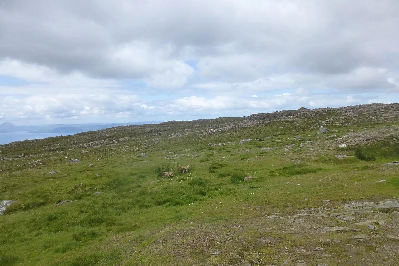
Bealach na Bà: Applecross Pass Driving Guide and Alternatives
Thinking of driving Bealach na Bà? See how steep and narrow it is, who should skip it, the weather risks and the alternative route to Applecross.
On this page
Last updated November 2026: bealach na ba is the single-track pass road from Tornapress to Applecross, climbing from sea level to about 630 m (2,070 ft) through tight hairpin bends. Gradients approach 20%, so your real decision is whether your vehicle, your nerves and the weather suit the climb. If any of them don't, a coastal road still gets you to Applecross.
Featured image: JarroNevsbaru, CC BY 4.0, via Wikimedia Commons.
Bealach na Bà at a glance
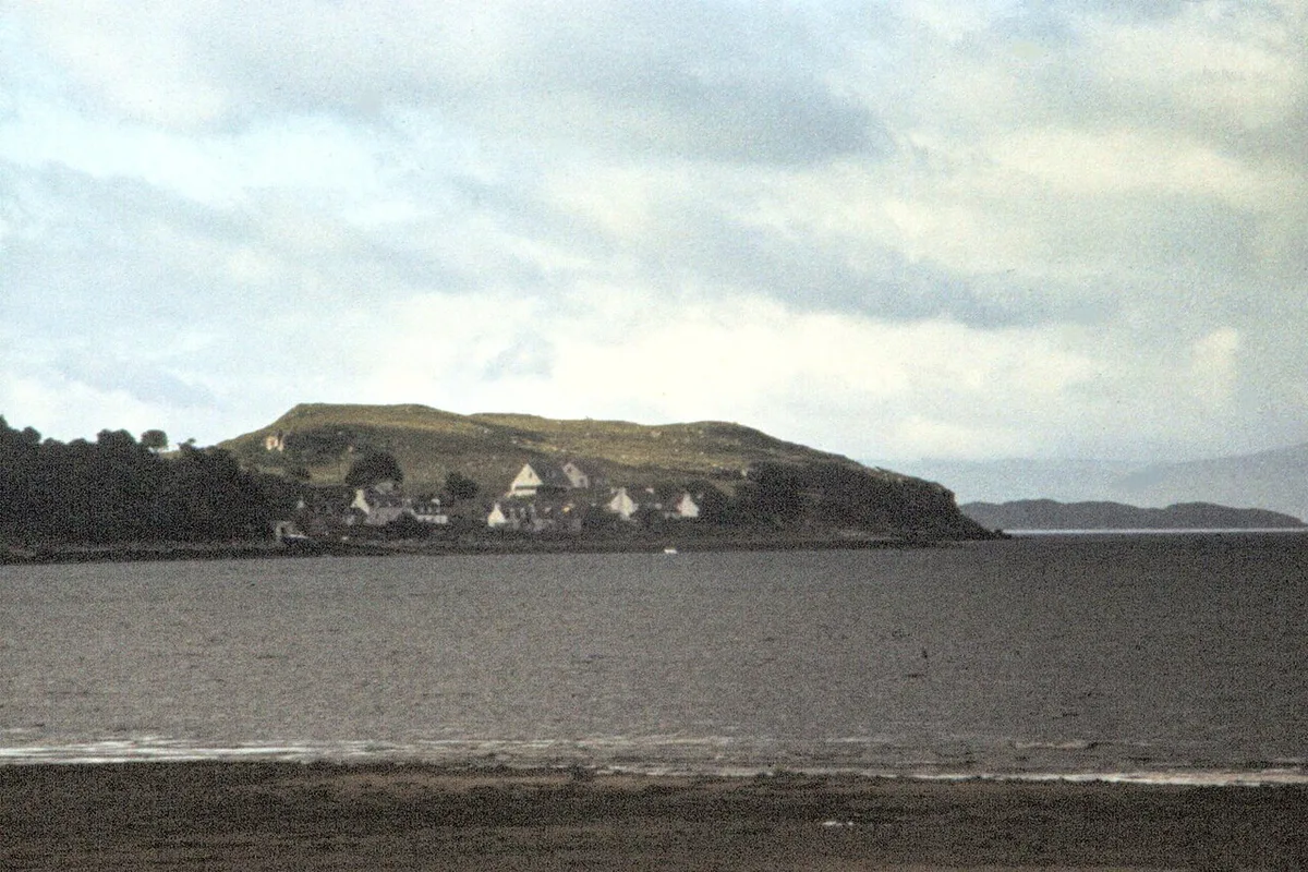
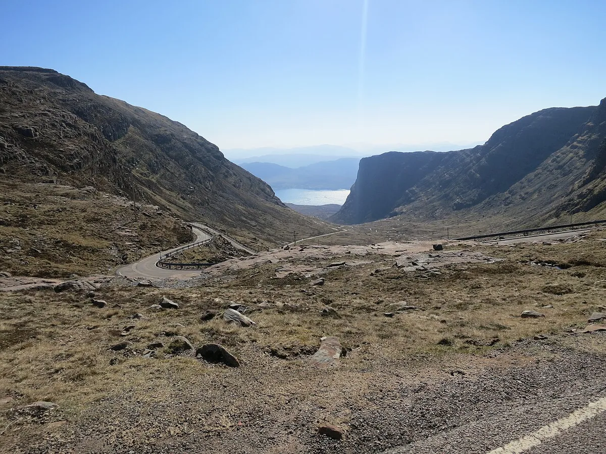
Bealach na Bà is a historic pass on the Applecross peninsula in Wester Ross, in the Scottish Highlands. Today the name also covers the twisting road over the hills between Tornapress and Applecross. Its hairpins are closer to Alpine pass engineering than to a typical Highland road. Wikipedia's Bealach na Bà article lists it as the third-highest road pass in Scotland and the greatest ascent of any road climb in the UK, gained over about 6 km (3.7 miles) from Applecross. Gradients approach 20%, and the summit sits at about 630 m (2,070 ft). Much of the route is single-track, so you depend on passing places.
- Location: Applecross peninsula, Wester Ross, Scottish Highlands
- Route: Tornapress to Applecross, over the pass
- Summit height: about 630 m (2,070 ft), climbing from sea level at Applecross
- Gradient: approaching 20% on the steepest sections
- Road type: single-track with passing places and tight hairpin bends
Should you drive Bealach na ba?
Most confident drivers in a standard car can manage the pass in good conditions. Plan on a slow, concentrated climb rather than a quick scenic spin. Hire cars are usually fine, but read your contract and insurance wording before you commit, and see our guide to Renting a Car in Scotland: Costs, Insurance & Tips. Larger vehicles need more thought: the road is described as unsuitable for learner drivers and very large vehicles. Our campervan hire guide covers the questions to put to a rental company. Obey any warning signs at the foot of the climb, because they reflect the road's real limits.
| Your situation | Best choice |
|---|---|
| Standard car, confident on single-track roads | Drive the pass in daylight and clear weather |
| Nervous about steep drops or reversing | Take the coastal route to Applecross |
| Campervan, motorhome or long vehicle | Check hire terms and road signs first; the coastal route is the safer default |
| Low cloud, snow, ice or strong wind | Postpone or use the coastal route |
| Late in the day with fading light | Leave the pass for the next morning |
How to drive the pass safely
Read our guide to driving single-track roads in Scotland before you set off. Highway Code advice for narrow roads is to give way to uphill traffic where you can. Pull into a passing place on your left, or wait opposite one on your right. Never park in a passing place. Local limits still apply, so review the Speed Limits in Scotland: Cars, Campervans & HGVs (2026), though the hairpins will hold your speed far below any limit.
- Drop to a low gear before the steep sections instead of riding the brakes on the way down.
- Slow right down before each hairpin and keep to your side of the road.
- Look well ahead for oncoming vehicles and choose your passing place early.
- Stop only at a safe lookout or wide spot for photos, never on a bend.
- Take breaks if you feel tired, because the climb demands constant attention.
When to go and weather risks
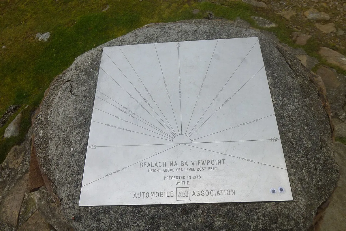
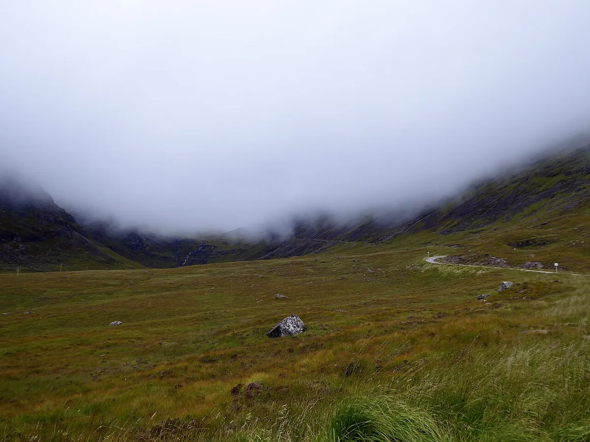
Conditions at 630 m can differ sharply from the coast. Cloud may sit on the summit while the shoreline stays clear. Snow, ice, fog and wind are the main hazards, and they can turn a manageable climb into a risky one. The pass is often impassable in winter, and closures follow the weather rather than fixed dates. Read Highland Council road notices and the mountain forecast before you leave, and look again that morning. Choose a clear daylight window for the best views and the most margin.
The alternative route to Applecross
A coastal road, opened in 1975, also reaches Applecross without the summit climb. It leaves the A896 near Shieldaig and runs around the north of the peninsula via Kenmore. It suits nervous drivers, larger vehicles and any day with poor visibility. You trade the dramatic ascent for a longer, gentler approach. Measure its length and time on a mapping app against your own start point. Local signage and Transport Scotland travel information show what is open.
Summit at about 630 m (2,070 ft) can sit in cloud while Applecross looks clear, so check visibility before choosing the pass over the coastal road.
| Factor | Over the pass | Coastal route |
|---|---|---|
| Difficulty | Steep, hairpins, single-track | Gentler approach |
| Weather exposure | High, summit conditions | Lower, coastal level |
| Larger vehicles | Poor fit; follow signs | Safer default |
| Views | Mountain pass scenery | Shoreline scenery |
| Time | Slower, needs focus | Longer distance |
Time, fuel and planning around Applecross
Treat the pass as a half-day detour, not a quick stop. Many drivers fold it into a North Coast 500 itinerary, and the official route site shows the wider loop. Applecross sits on a remote peninsula. Fill your tank before you leave the main road, and book food and rooms ahead in busy months. Opening hours change, so ring ahead for meals. If you plan a pub lunch, read the drink-driving limit in Scotland before you pour a drink, since you still face the return drive. For more routes of this kind, browse our Scenic Drives in Scotland: Best Routes, Timings and Tips.
The drive step by step from Tornapress
Coming from the A896, the pass road starts at Tornapress at the head of Loch Kishorn. Driving it in this direction puts the hairpins on the way up, where a car is easier to control than on a steep descent.
- At Tornapress, read the warning signs at the foot of the road. If you are a learner, towing, or in a very large vehicle, turn back here and use the coastal road via Shieldaig.
- On the lower climb, select a low gear early. The single-track road has passing places, so use the ones on your left to let faster cars or oncoming traffic by.
- Near the top, the road tightens into hairpins with gradients close to 20%. Keep to your side of each bend and stop in a passing place if a vehicle is coming down.
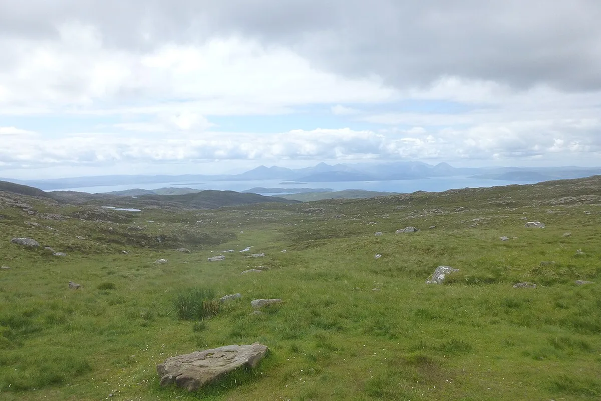
- At the summit, about 630 m up, use the parking area rather than the carriageway for views across to Skye on a clear day.
- On the descent of about 6 km to Applecross, stay in a low gear so the engine holds the car and the brakes stay cool.
- Back at sea level, refuel and eat in Applecross before deciding whether to return over the pass or take the coastal road north.
Mistakes to avoid
A few errors cause most of the trouble on this road.
- Starting the climb late with a low fuel tank
- Assuming sat-nav timings allow for passing places and slow hairpins
- Driving a large vehicle without reading the signs and your hire terms
- Stopping on a bend for photos
- Ignoring cloud or ice because the coast looks clear
Name and history
The name is Scottish Gaelic and is usually translated as Pass of the Cattle. Drovers once used the route to move cattle. TV viewers may know it from the series Hamish Macbeth, which shows a sign reading "Narrow road - no more than three sheep abreast". Much of that series was filmed in nearby Plockton. The 1953 film Laxdale Hall also featured the road. Cyclists ride two events over the pass: the 70 km Bealach Beag each May and the 144 km Bealach Mòr each September. Expect many riders on the climb on those days.
Pair this with our broader tourism attractions guide for the full city overview.
Frequently Asked Questions
How long is the Bealach na Bà climb?
The road rises from sea level at Applecross to about 630 m (2,070 ft). Gradients approach 20% on the steepest stretches. Journey time depends on traffic and passing places, so allow generous margin.
Where is the steepest road in Scotland?
Bealach na Bà is often described as one of the steepest and highest roads in the Scottish Highlands. Its hairpins and near-20% gradients earn that reputation. Treat any ranking as a description, not an official record.
Road-rule changes worth knowing
Optional updates to our guides.
You might also like

Continue reading
More guides you'll find useful